

Where am I going?
Highlight Hiker Blog
Wellfleet Bay Wildlife Sanctuary & Meadow Bog Trail, Wellfleet MA
August 22, 2020
Before I start talking about exploring Wellfleet Bay Wildlife Sanctuary, I want to tell you that saying the word, “Wellfleet” is easier than typing it! I mean, for real… I’m sitting here and squinting at the word saying to myself, ‘Is that the right amount of L’s and E’s?” It’s like typing “Massachusetts” or “Mississippi” you have to stare at it for a second to make sure it’s right. Which is why, from this moment forward, Wellfleet Bay Wildife Sanctuary will be referred to as “WBWS”! No more squinting, no more second guessing!
August 22 was a hot, humid, steamy day where the sun blared down, angry that the rain hadn’t yet come. What a perfect day to put a few miles down! The Kid had enjoyed our walk to Woods Cove and Ice House & Reuben’s Pond so much that she opted to spend another day wandering the salt marsh countryside with me. Which, honestly, was my honor. Unfortunately neither the Olden Golden nor The Dog could join us in the sanctuary as dogs are too much of a disturbance to the fragile ecosystem they are trying to protect here. But that’s ok, because both dogs got to spend their day jumping waves and relaxing in the sand at Nauset Beach.
But back to WBWS… I apologize that I didn’t take photos of the Visitors Center, parking lot or any of the exhibits. There were a lot of families there and I didn’t want anyone to feel as though their privacy was being violated, so I chose to mind my own beeswax. But don’t worry - I will return to WBWS next year to finish the trails I missed and plan to include photos of facilities at that time (besides, due to covid restrictions, there wasn’t much of the visitors center that was open to the public anyway).
With that notation, I will state the obvious and say WBWS is a crowded place. Lots of families, lots of couples, lots of individuals, just lots of people crawling all over the grounds. So it was impossible to get a 30 second video that didn’t include voices of nearby visitors, and meant having to stand and wait to get photos sans human beings. Not that it was a bad thing to have so many visitors, mind you, just that it is a very popular place and we happened to visit at a very popular hour. We left WBWS at 2 pm and the parking lot was clearing out, so I highly recommend you visit between 3 - 6 pm to enjoy thinner crowds at peak months of tourism.
The staff at WBWS are kind, informative and passionate about what they do. If you have a question, just ask! They will satisfy your curiosity. Of course there is plenty of printed material that you can read along the way, or you can go without and just enjoy the scenery for what it is. The signage is very good and you cannot get lost within the property.
Now, having said all of that, I want to inform you that much of the walking here is exposed, so if you are sensitive to the sun, either visit WBWS on a cool and cloudy day or bring a sunbrella. We opted not to use my sunbrella and The Kid was wiped out after walking the Boardwalk and Goose Pond trails from the intensity of the heat. Look, I have earned my hiking stripes in NJ during the summer: I am very accustomed to high humidity and high heat, but the exposure on the Cape is a force to be reckoned with on a sweltering day, and even though we had plenty of water, The Kid was completely spent even with long rest breaks in the shade. So… just a friendly word to the wise. Especially to those who plan to visit with little ones.
If you find yourself on the Cape and are looking for longer trails than the Conservation Trust in your town, check out the longer trails at WBWS. They are beautifully maintained, with friendly and knowledgeable staff on hand. Sure, there is an small admission fee ($5 per adult, $3 children/seniors), but it all goes toward protecting this fragile ecosystem and the varied wildlife that depend upon it.
Meadow Bog Trail, Orleans Conservation Trust, Orleans MA
I don’t know if it was because I was more tired than I thought, or just because the trail was lackluster, but Meadow Bog trail felt more like a chore than a pleasure. It wasn’t especially bad, or difficult, it was just kinda’…. boring. The viewpoints were grown over, and there were a number of misleading side trails took you into residential areas where you weren’t welcome. It’s my personal opinion that the area be better maintained for the enjoyment of it’s visitors, and that the trails be more clearly marked to avoid confusion, especially on Davis Road. Of all the OCT trails I walked, this one seemed to be the most neglected. I only completed one portion of the trail on the 22nd because I was very unclear about whether or not I was treading into private property or actually on the public use trail. Turns out I was on the trail, but there were no markers to assure me of that and it made me nervous to disturb residents by trampling around their private road, so I turned around and went back the way I came… a little too tired and a little too frustrated (and admittedly a little too hangry).
Wellfleet Bay Wildlife Sanctuary

As you enter the grounds, you're greeted with signs asking you to maintain a one-way direction on the Silver Springs path due to covid.

You have a few options a few feet further. We opted to do the Boardwalk, Try Island and Goose Pond trails to start (at the time we had no idea that was as far as we would go).

The trail divides into two sections. The longer trails are the Bay View and Fresh Pond trails. FYI: I love that woman's hat!

Goose Pond was our favorite spot. We didn't see geese, but we saw all kind of frogs on the lily pads, and an obstinate turtle who was trying to get on a lily pad without success.

All of the paths are wide enough for 4 people. Some are sand, some hard packed, some are even mud. It just depends on where you are throughout the sanctuary.

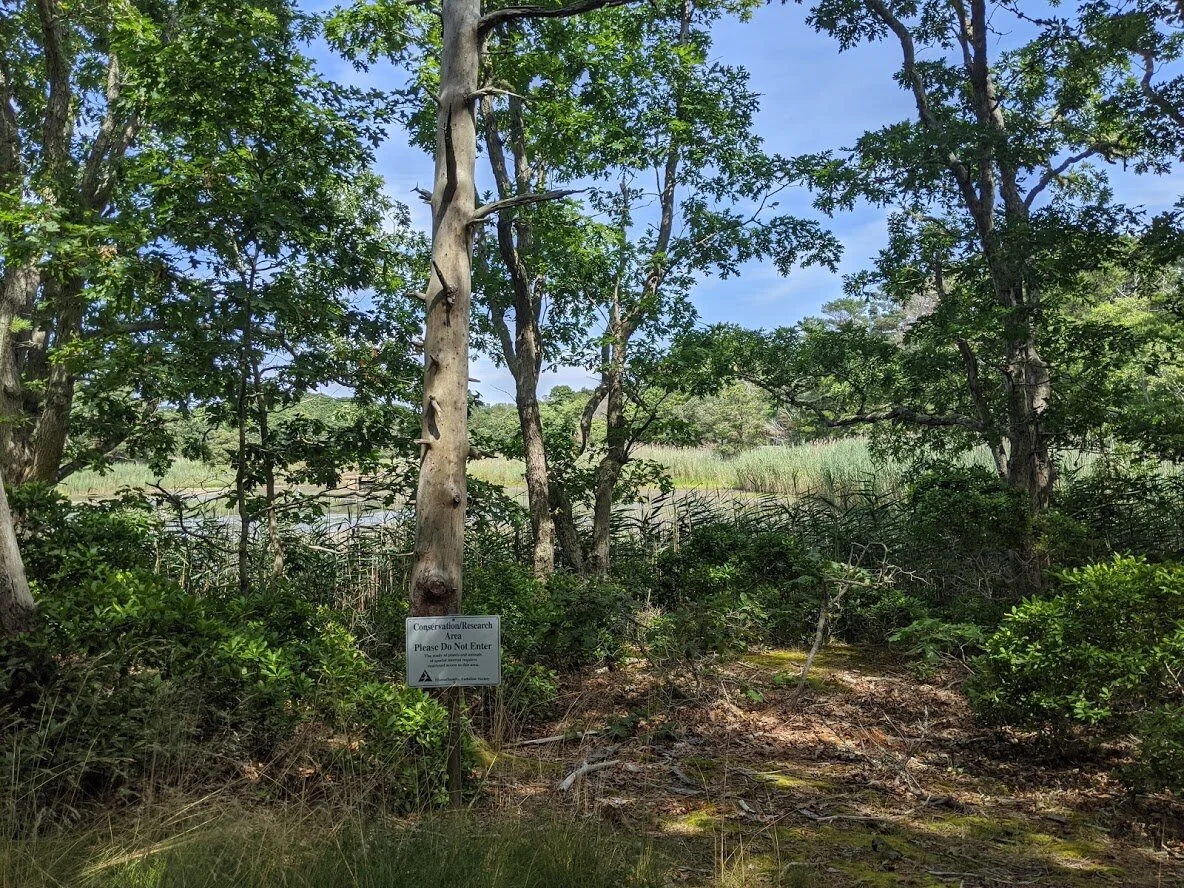
The trees stretch toward the sky in Pine Woods.

The salt marsh views are everywhere!

The observation deck is a hot spot... not just for nature photographers, but as in, like, temperature hot!

A striped cucumber beetle and a black fly living in harmony.

The Heath

The marsh overviews were really starting to grow over.
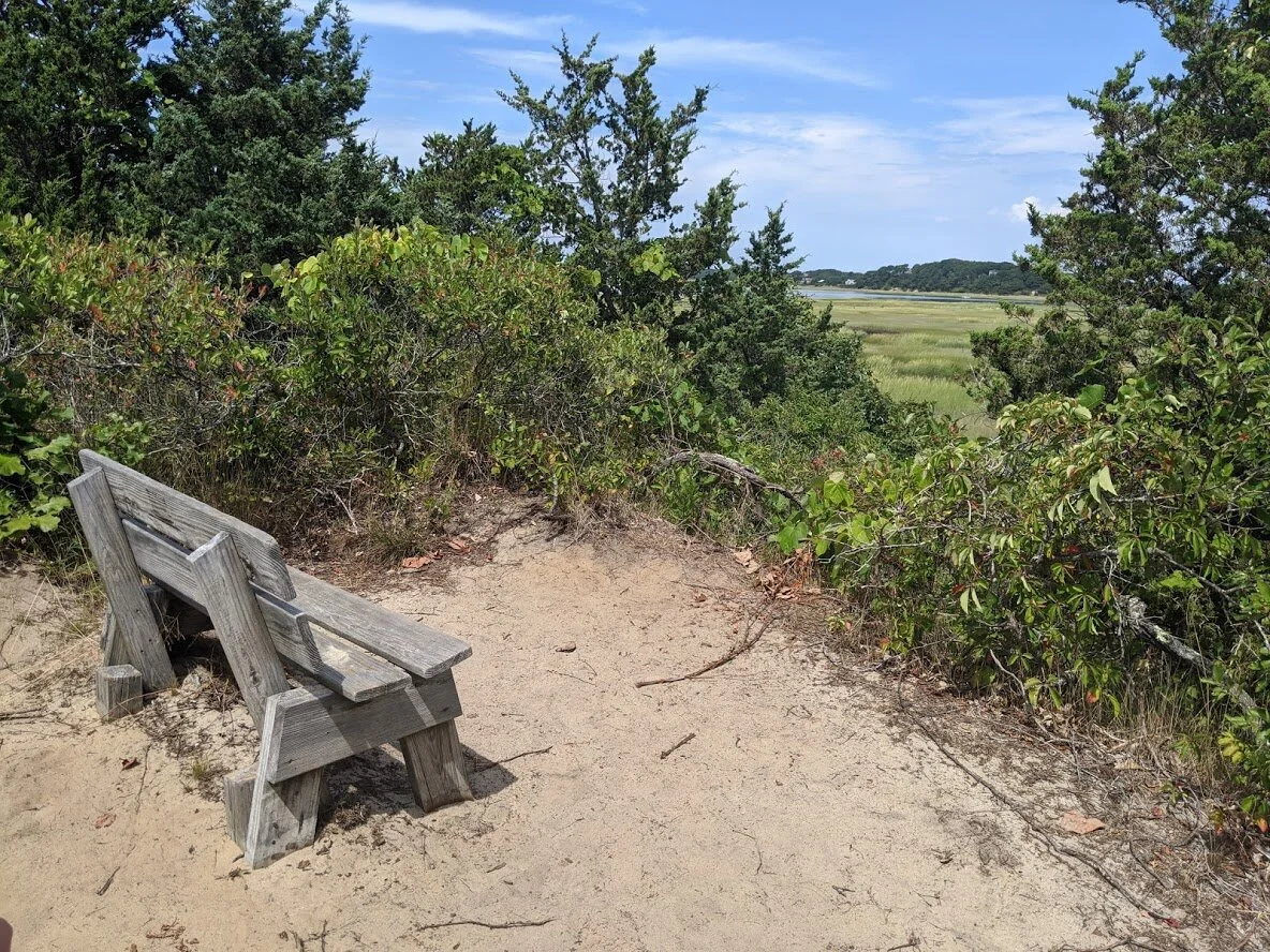
A bench... or as I called them, "rest stop" along the path.

View from the bench.

The salt marsh.

Walking toward the observation deck.

View from the observation deck.

Walking toward Heron Point and Try Island trail.

There had been some rain and hence, some flooding. I'll just say that it's a good thing we weren't wearing new sneakers!

Thick salt marsh sludge. But the little crabs were so cute! They would skitter this way and that to get out of the way of your footfalls, and there were so many of them you could hear the "tikka tikka tikka" sounds they made with the collective movement. You heard them before you saw them, that's how many there were!

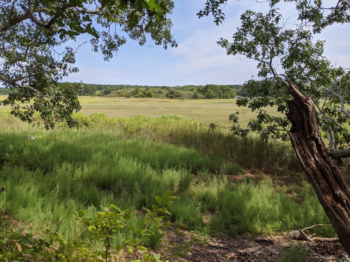
Looking out over the salt marsh toward Try Island.

As you came closer to the salt marsh, the terrain became soft sand. Thankfully it wasn't deep sand, though, and easy to walk on.
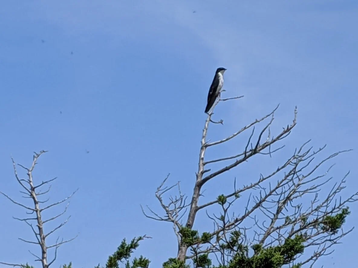
Blue and white swallow, I believe. I'm not very good with the bird id just yet. I'm working on it, though!
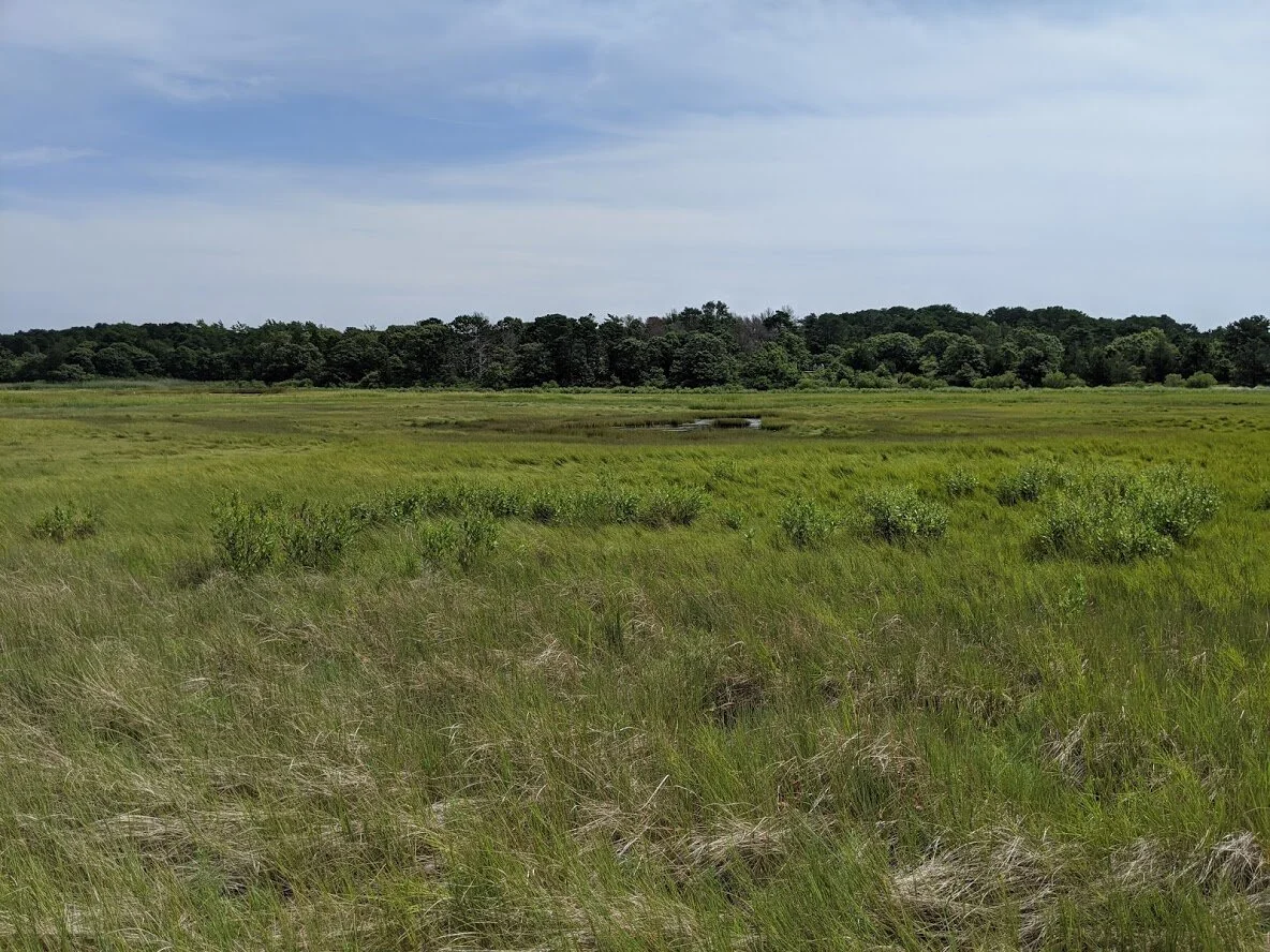
The Salt Marsh.

The single track heading to Try Island.

I always make sure when I see a bench to take a photo of it, and a view from the bench. Who doesn't want to see what it looks like sitting on the bench, I ask? NO ONE, came the reply.
View from the bench.
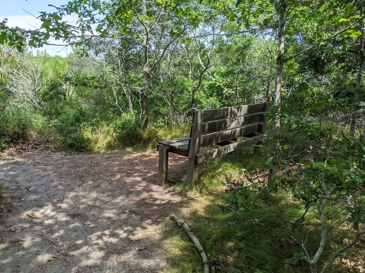
Oooh! Another bench!

The view from that bench.

And... another... bench....???

And it's view! Hardee har har!

More turtle nests.

The Boardwalk section of the trail does get flooded during the high tide, so if you're coming at that time my advice to you would be to wear water friendly shoes, lest ye go barefoot!

More mud tracts in the salt marsh where the cute little crabs live!

Hatches Creek feeds into Cape Cod bay and is divided by Barrier Beach (all of which you see here).

Hatches Creek looking toward Heron Point.

Hatches Creek and Barrier Beach.

We sat down (not on a bench) and watched this private boat make its way to Cape Cod Bay via Hatches Creek. It was quite satisfying, but very hot!
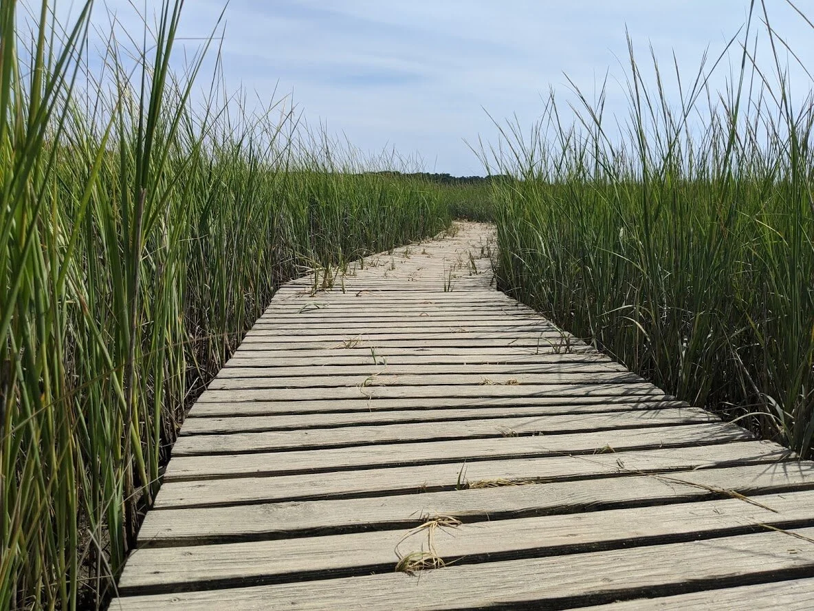
The Boardwalk.

As you can see, high tide gets higher every year, thanks to global warming.

Turtle nesting signs.

We found an inspirational rock hiding in a tree on Good Pond Trail.

Goose Pond Trail.

We sat at this bench and drank a lot of water to re-hydrate. It was here that The Kid told me she didn't think she would be able to continue in the heat.
Here's a view from our quiet, cool rest stop.

We loved this tree!

Meanwhile, back at Goose Pond... we enjoyed watching the frogs and turtles from the shady observation deck.
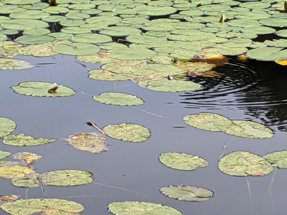
Frog on the right (we named it Gerald) and obstinate turtle on the right (you can just see its head. Poor little thing tried so hard to get on that lily pad).
Meadow Bog Trail

There was parking enough for three cars in two different locations near the trail head.

Quanset Road, the road which both Meadow Bog and Twining Pond trails are located.

The welcome kiosk at Meadow Bog.

The trail map for the area.

BENCH! And The Dog, who accompanied me in the heat and humidity and drank all of my water. PS. There was no view from this bench. The view was shrubs.

Meadow Bog is a pretty forest on a hill.

It's mostly overgrown single track, and the unofficial trails were better worn than the official ones, which made travel confusing since there were no signs to indicate which way was the correct way.

BENCH!

View of Sarah's Pond from the bench.

You follow the trail up and down a few dune-like hills and dead end at Davis Road, which is a private road.

I was so sweaty and so nervous that the residents wouldn't appreciate my wandering on their property looking for the last half of the trail, so I backtracked to where we started.

Bench memorial.

It's a nice trail just not as well tended as the others I'd been on.

And the benches only faced overgrowth, so the rest stops weren't as nice as some others I'd been to.

View from bench. See? Dense growth.

Where Quanset Road meets the Bay.

Quanset Harbor.

Pretty bunches of Bouncingbet lined the Quanset Harbor parking lot.