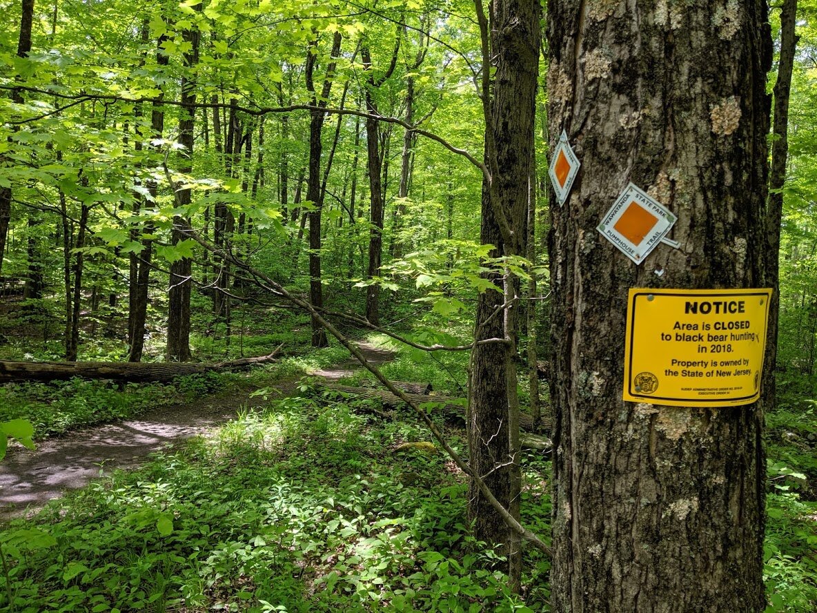
Waywayanda State Park
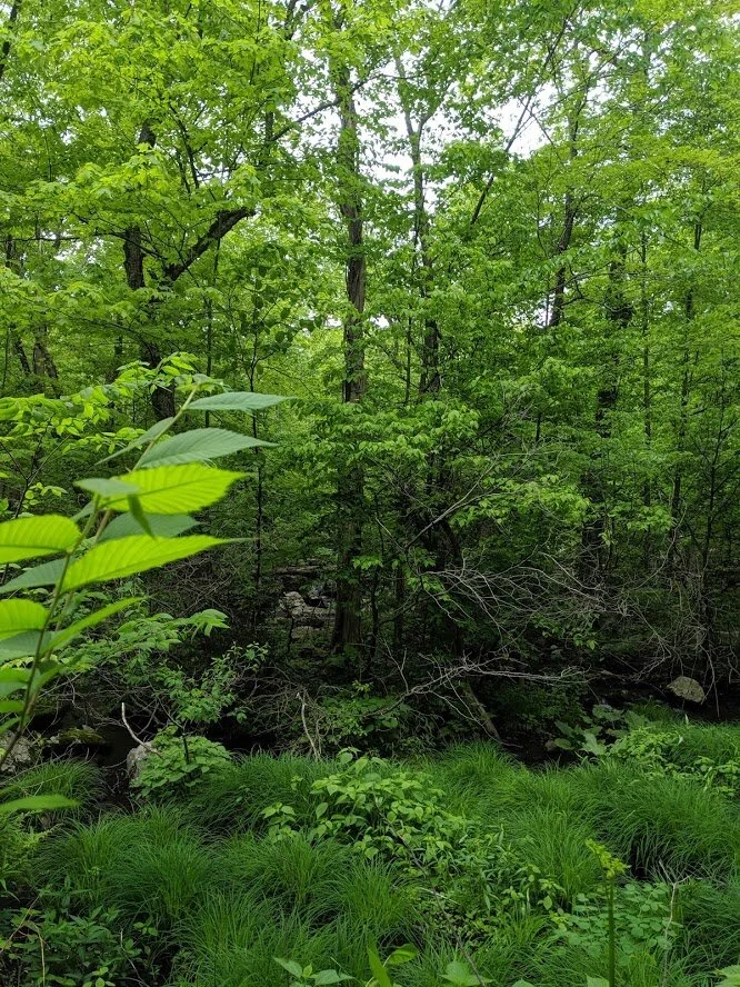
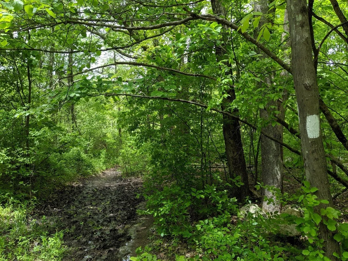
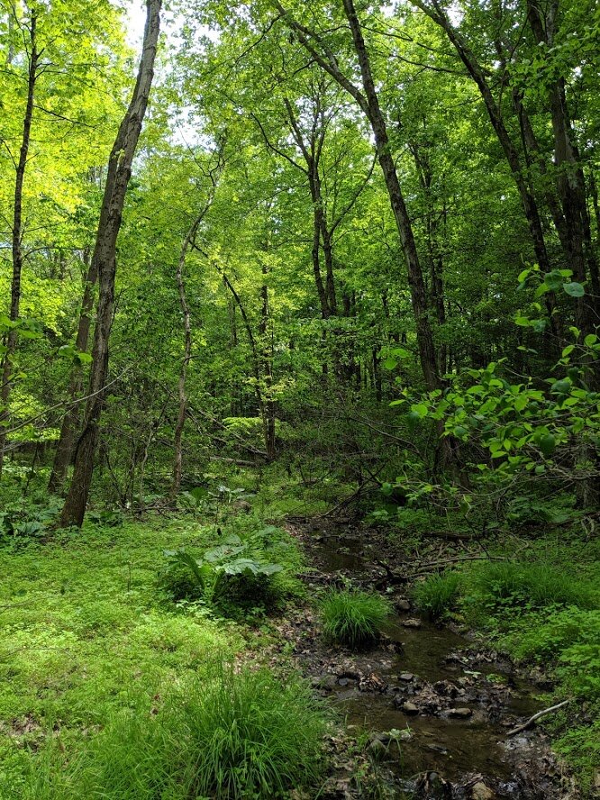
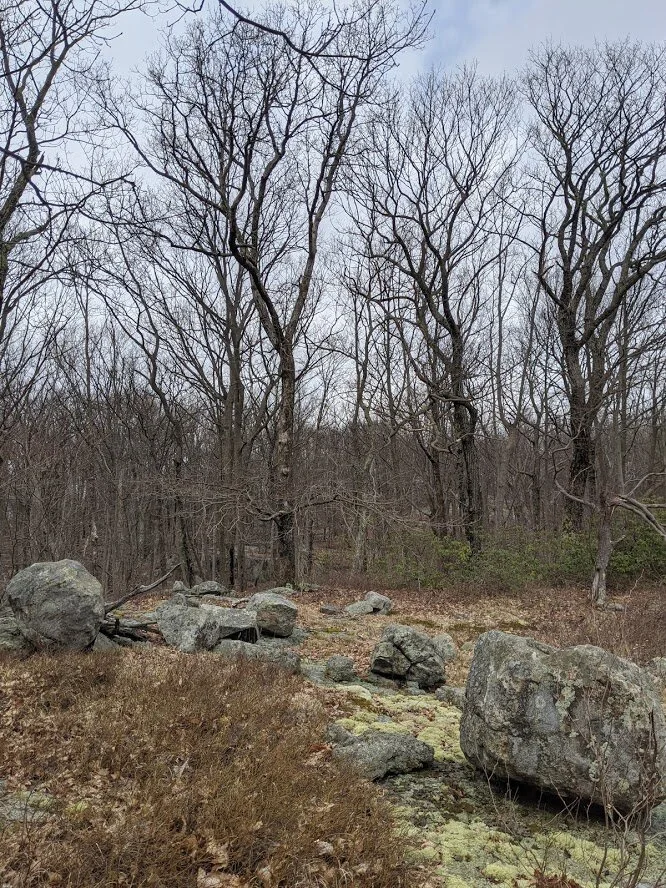
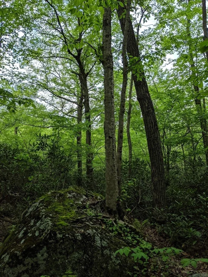
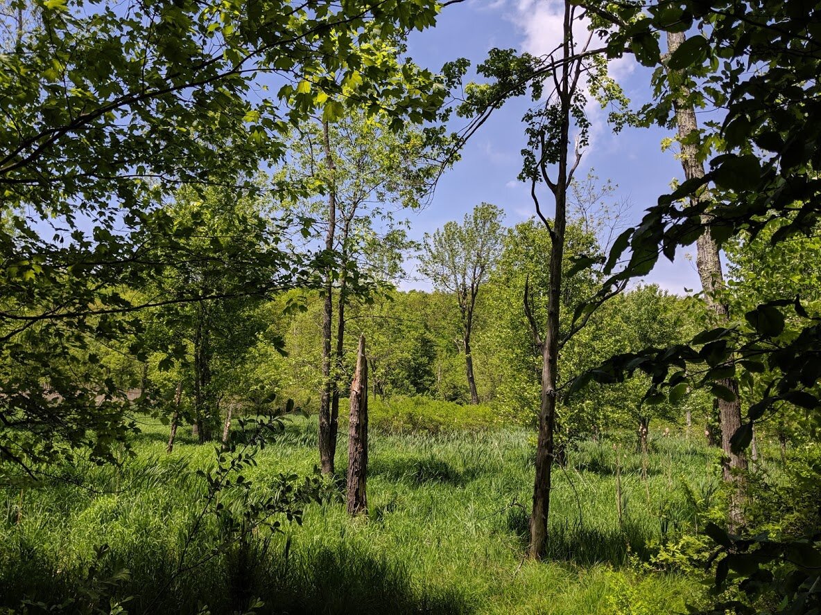
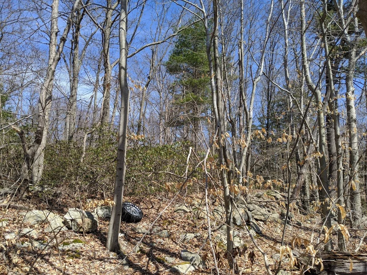
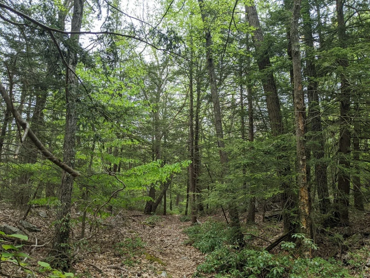
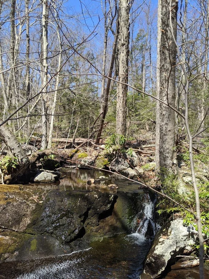
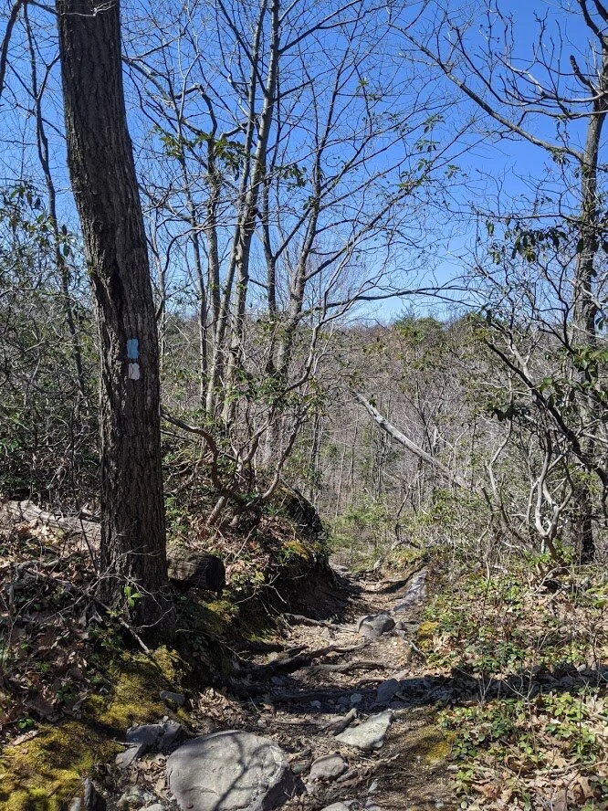
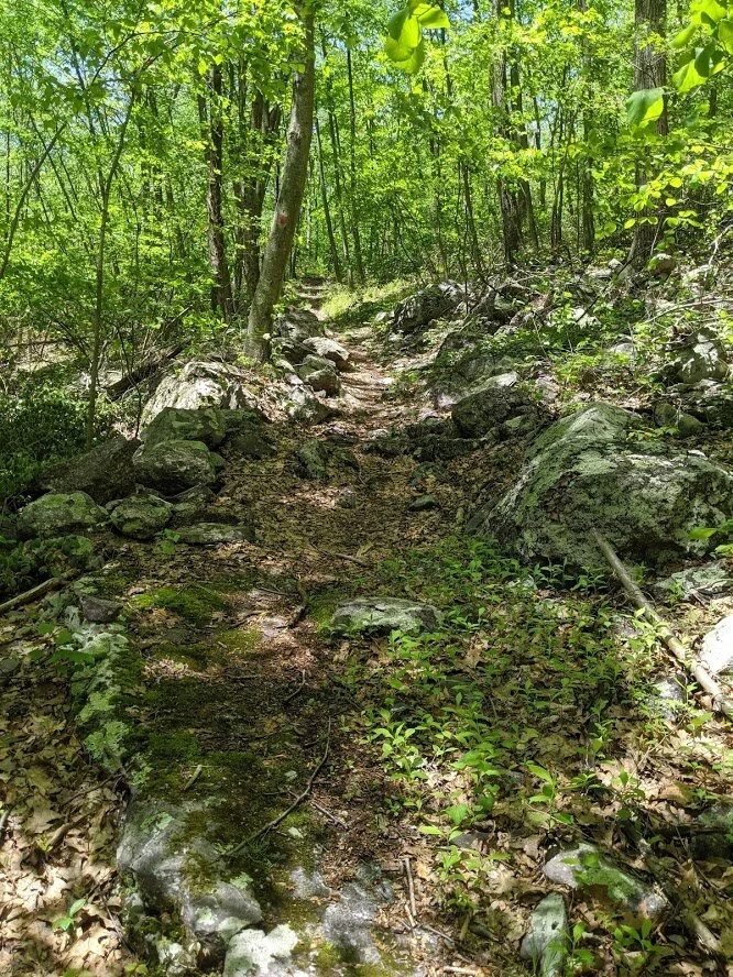
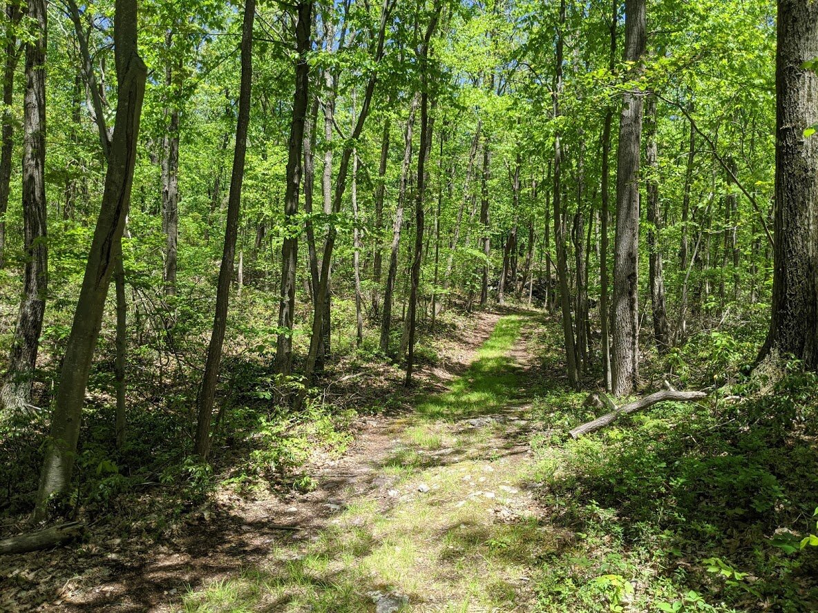
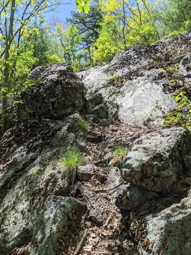
Would you like to meet my favorite hiking location in Northern New Jersey? Welcome to Waywayanda State Park! When I first moved to New Jersey from Michigan, I had a tough time adjusting. There just wasn’t enough green space where we lived and I was homesick. One particular day was really rough, so my spouse took me for a drive on Warwick Turnpike to get me into some greenery. On Warwick Turnpike, just west of Union Valley Road, there is an uphill section that winds and turns on the border between Abrams S. Hewitt State Forest and Waywayanda State Park. And there, proud as could be, plunked on the side of the road was a beat up brown road sign with the image of a hiker on it. And that was it. That one sign and those deep beautiful forests were all I needed to peak my curiosity and start exploring. I have nearly completed all of the marked hikes in Waywayanda State Park and I can say with certainty that it is my favorite place to wander in this area thus far. It’s not because it’s full of historical sites, or scenic views. It isn’t even that the AT crosses through it’s northernmost section. No, it’s because Waywayanda is simply beautiful. Everything you ever wanted from hiking is here: every level of difficulty, every length of mileage, every ridge and valley, every cool breeze under the tree canopy, and even the mucky, watery swampy areas have their abundance of wildlife and magnificent wetland views. In all four seasons it’s beautiful and serene. With few people in the most popular spots on the weekdays, and desolate trails further afield on the weekends, you can find peace of mind while hiking in the lovely forest. It also helps that every Ranger I’ve spoken to here has been kind and extremely knowledgeable (a few of them even laughed at my bad jokes). But more to the matter: the possibilities in Waywayanda are endless. Adventure is everywhere. Waywayanda will always be my 4-season hiking location go-to.
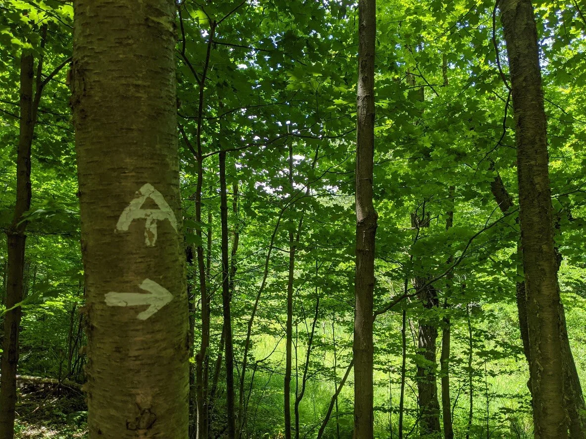
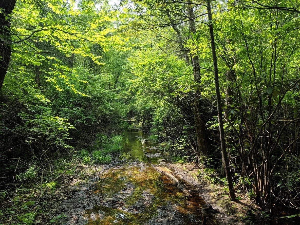
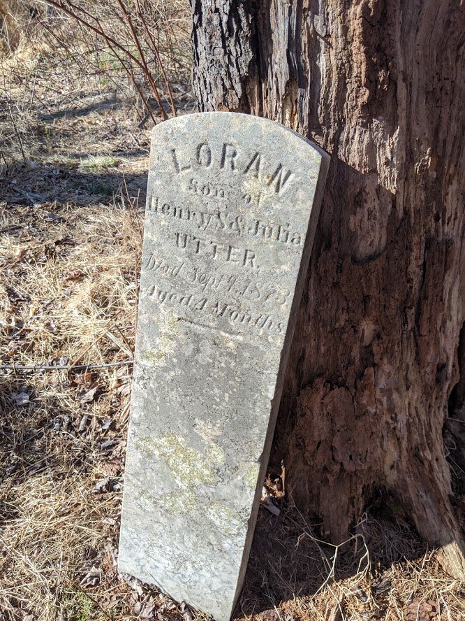
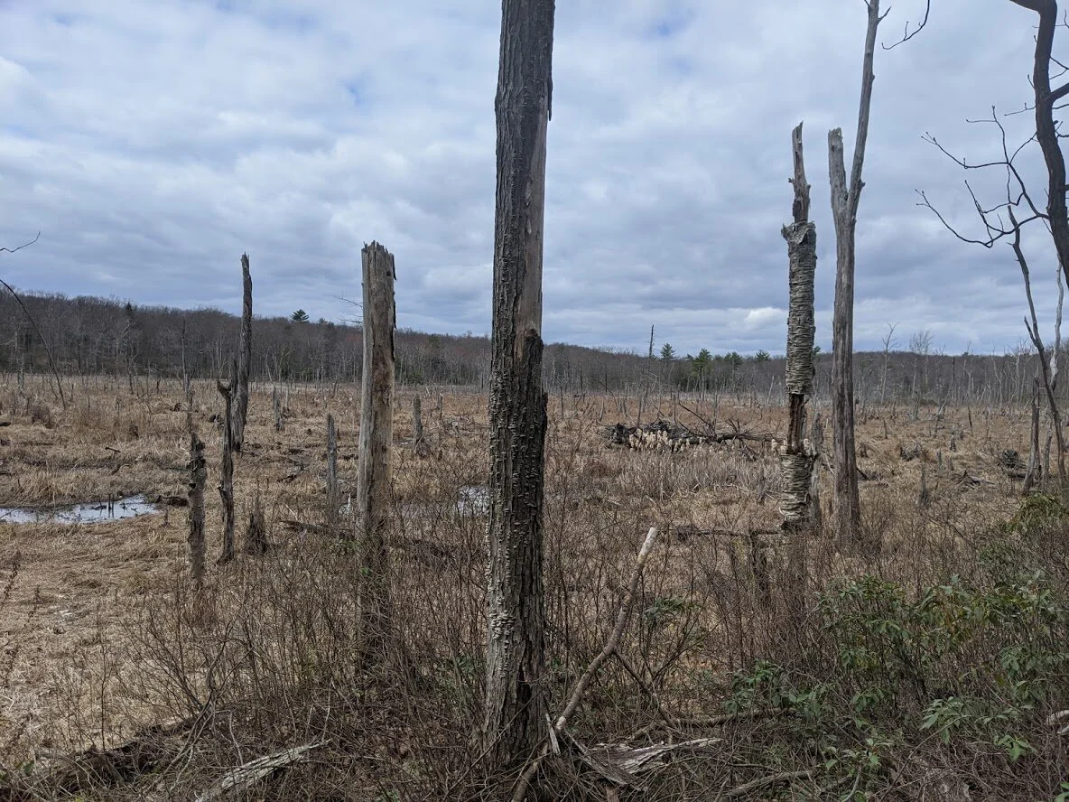
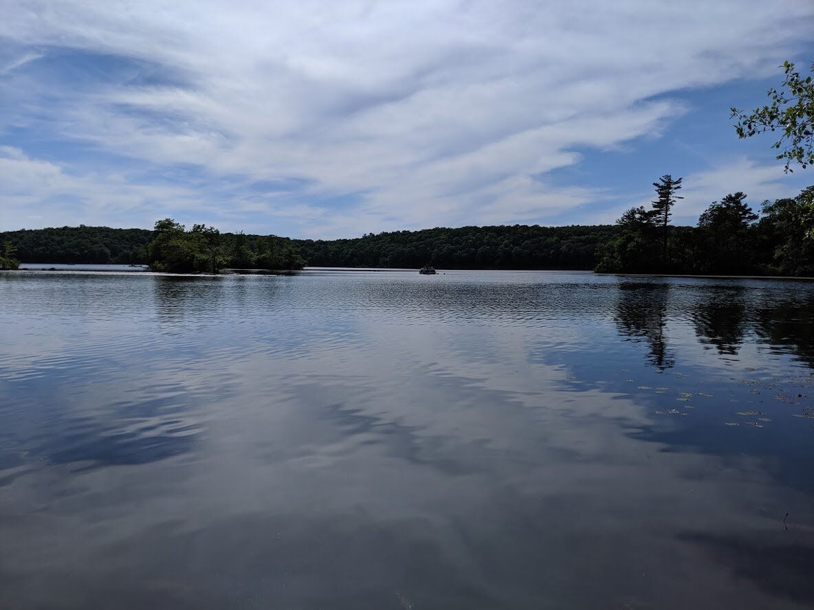
Favorite hikes in Waywayanda: #1. Bearfort Mountain region: Spring North (blue blaze) to Terrace Pond Red (red blaze). #2. The AT (white blaze) from Greenwood Road to Long House Drive. #3. My own loop: Cherry Ridge Road (west) to Cabin Trail (woods road; no blaze) to Tombstone (unmarked trail) or Rattlesnake if you preferred marked trails (red blaze) to Pines (green) back to Turkey Ridge (continuing east), to Old Coal (nobo, red blaze), to Lookout (white blaze) back to Cherry Ridge Road. Follow Cherry Ridge Road back to the parking area. My favorite place in Waywayanda is the Double Pond trail (yellow blaze). There is a marsh, and a boardwalk over the marsh. I sat here once for almost an hour just soaking in the beauty under the sun, listening to the sounds of the frogs, birds, and other wildlife, and enjoying the views of cattails and lily pads. It isn’t marked as a scenic viewpoint on the map. In fact, it isn’t marked as anything at all: the marsh isn’t even named. But to me, it is the prettiest place in the park. Love at first sight.
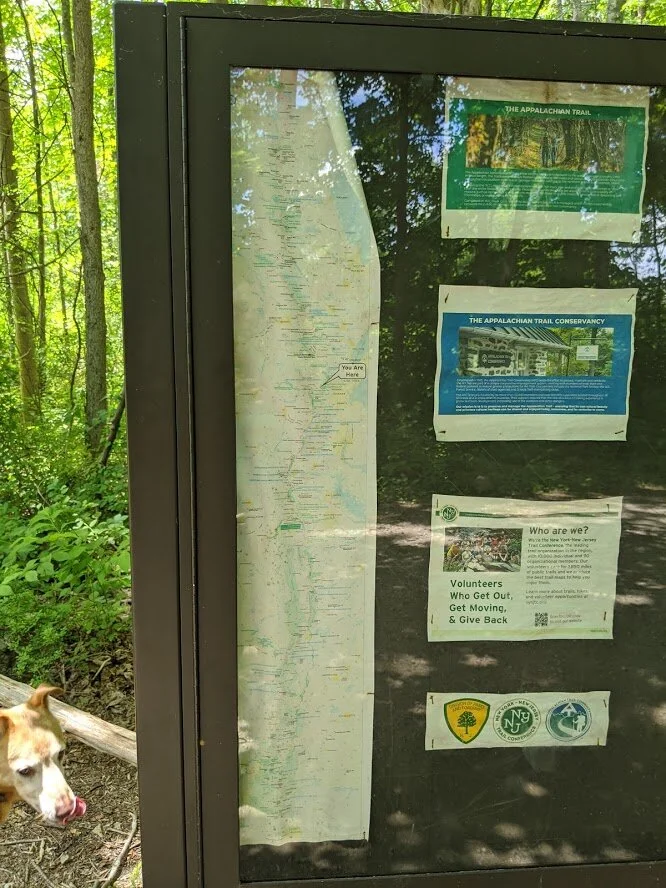
Waywayanda is comprised of an immense amount of land and has three distinct sections: the North Section encompasses the length of the Appalachian trail, and all trails north of Waywayanda Road, the Central Section which includes all trails south of Waywayanda Road and east of Clinton Road, and the Eastern Section, which covers all trails east of Clinton Road and south of Warwick Turnpike. I have divided the gallery into these three sections for ease of viewing.
NOTE: I have hiked all marked trails except for one section of the Appalachian Trail, which I plan to complete in the flush of the summer of 2022.