Highlight Hiker Blog

April 22, 2022
Norvin Green State Forest
Highlands Trail West
hiking - foot traffic only
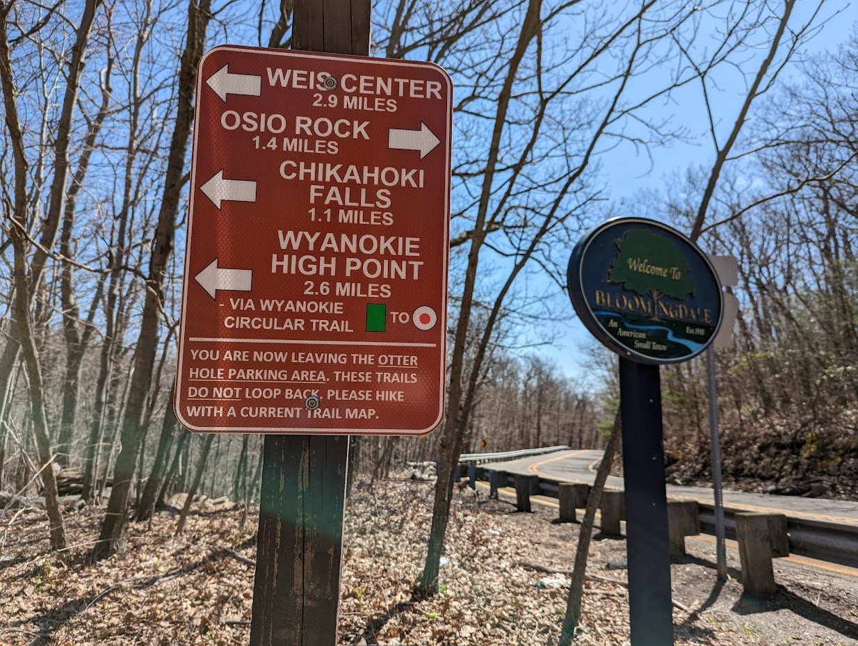
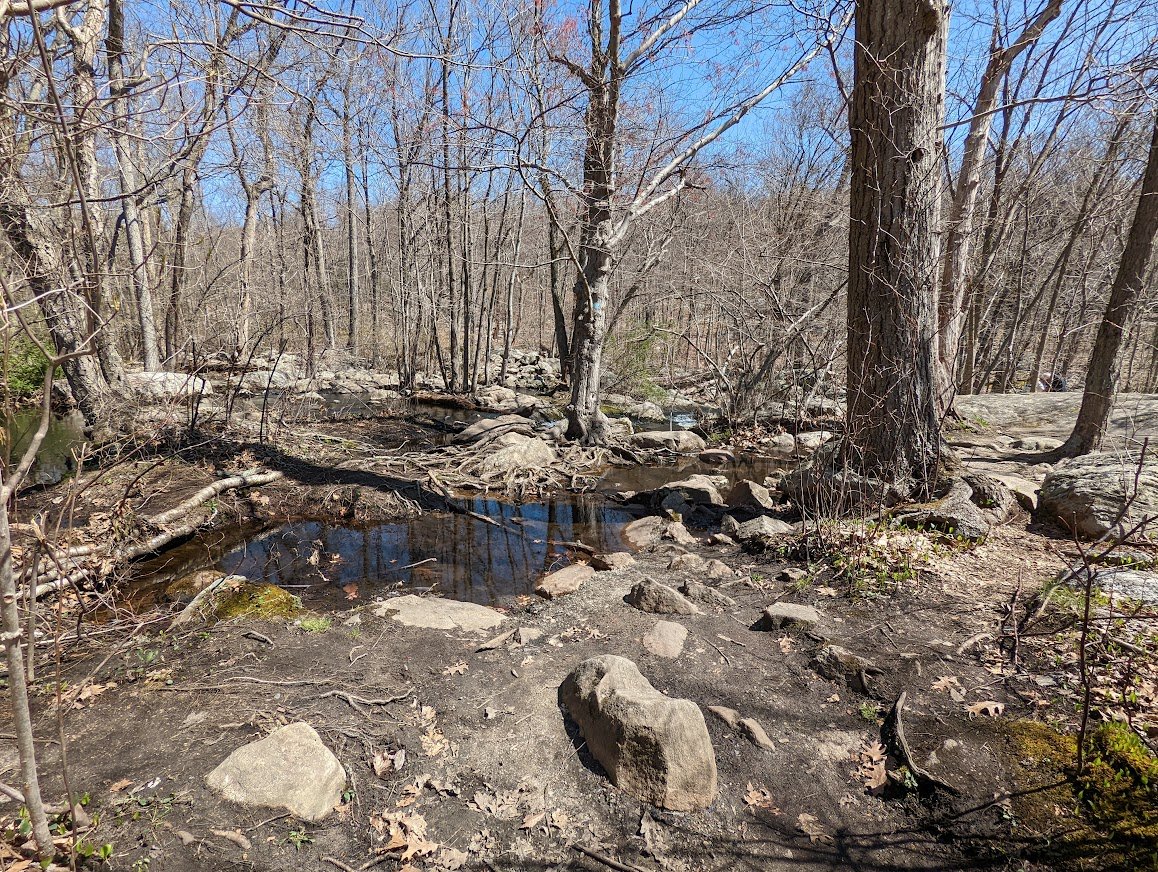
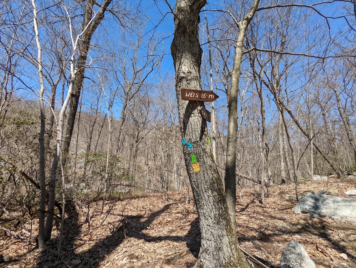
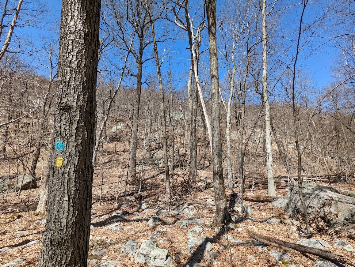
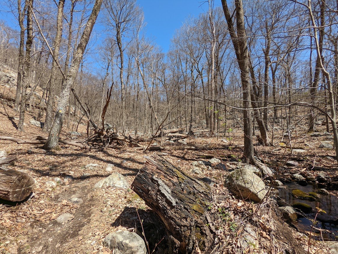
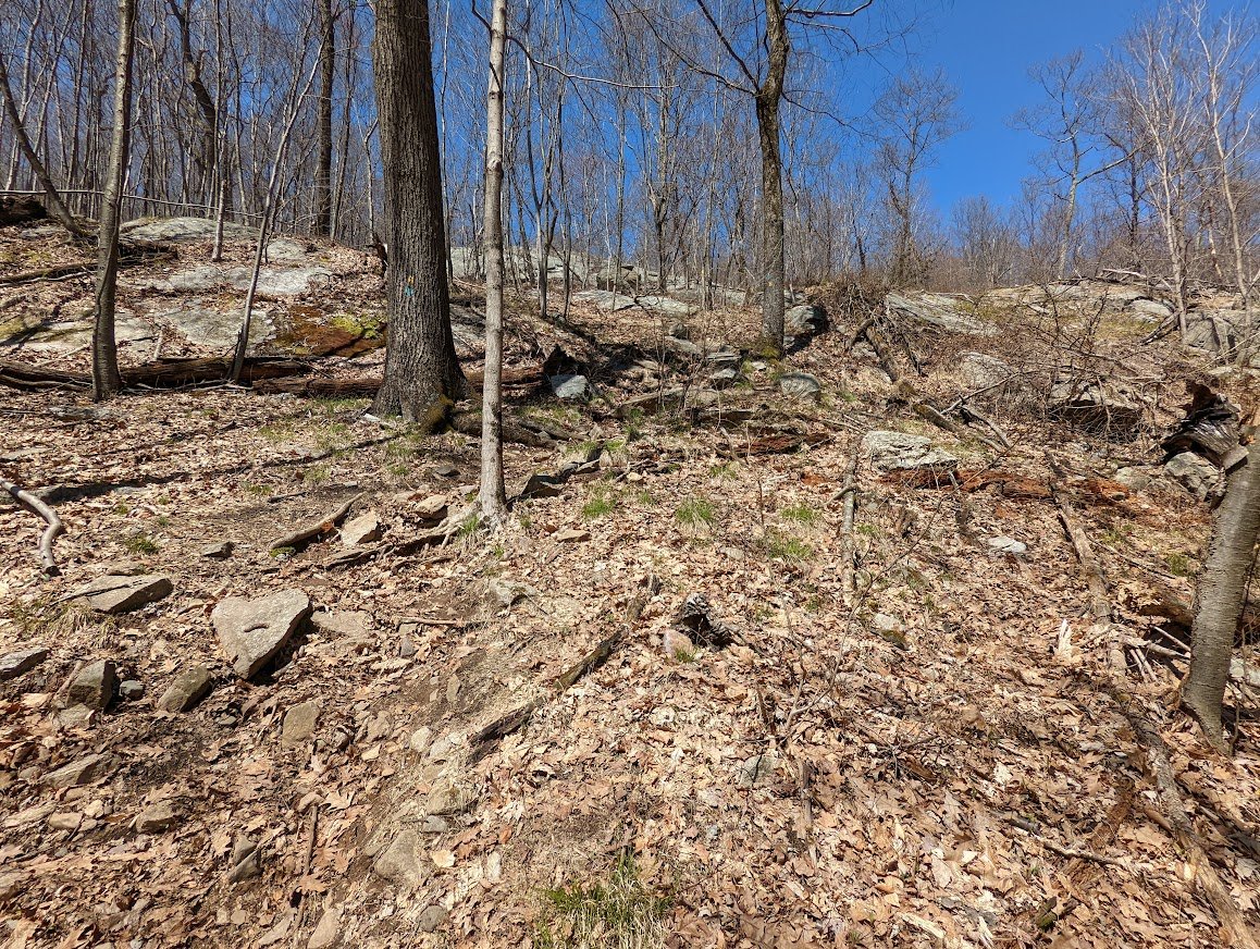
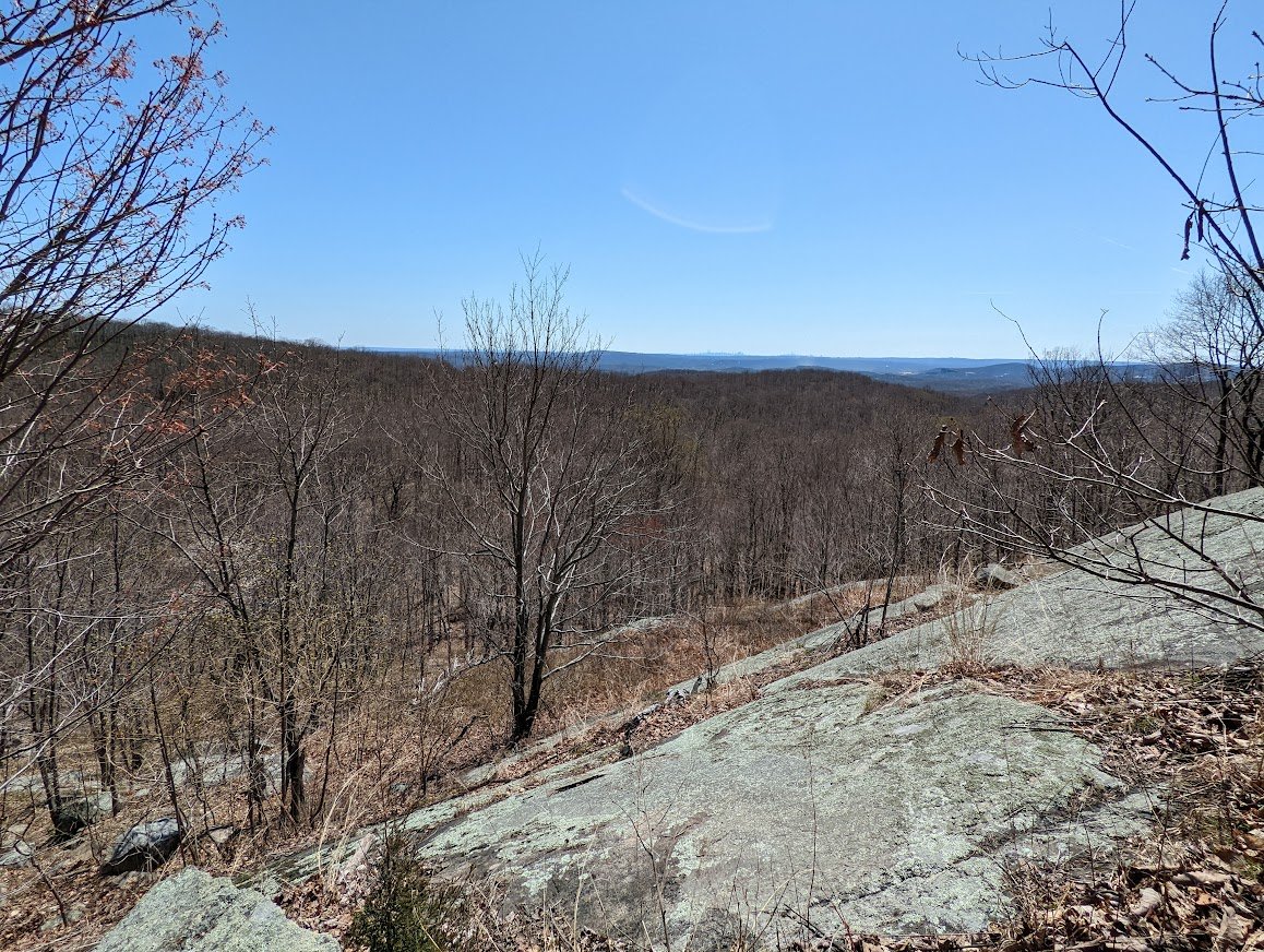
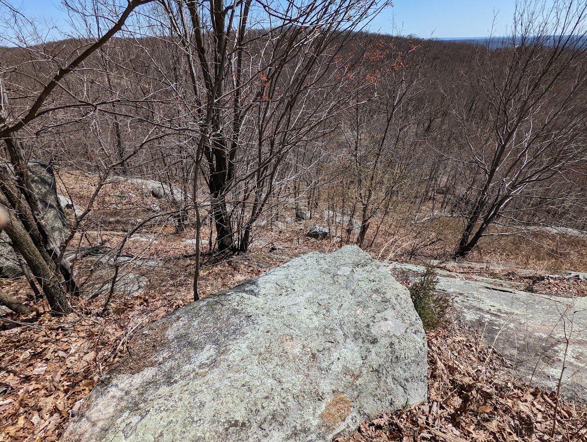
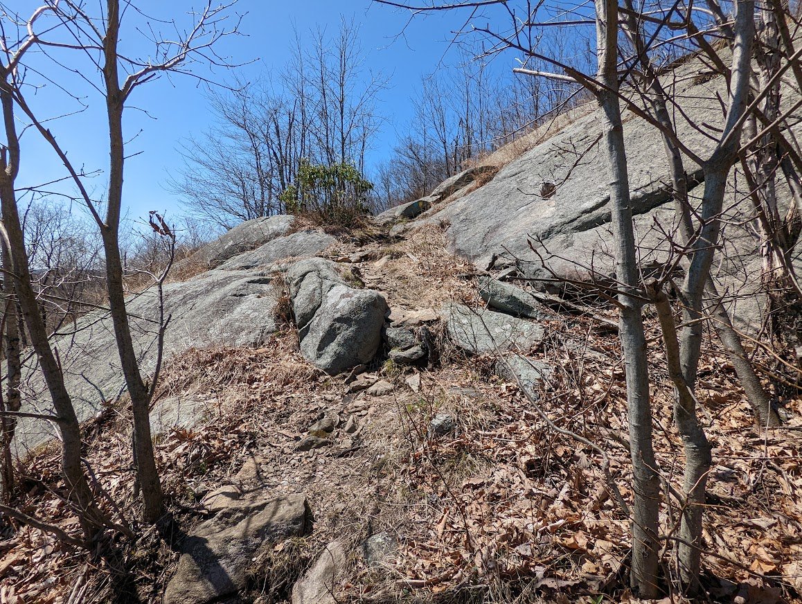
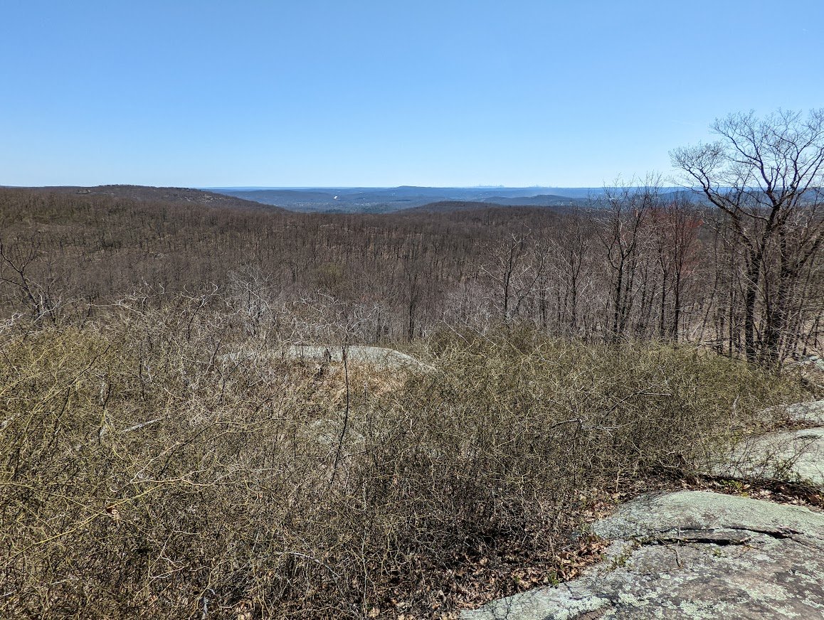
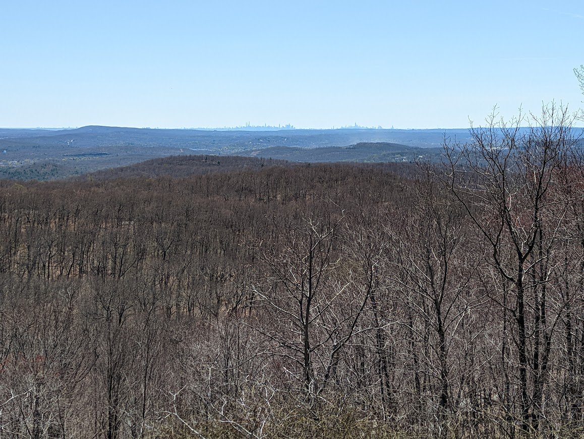
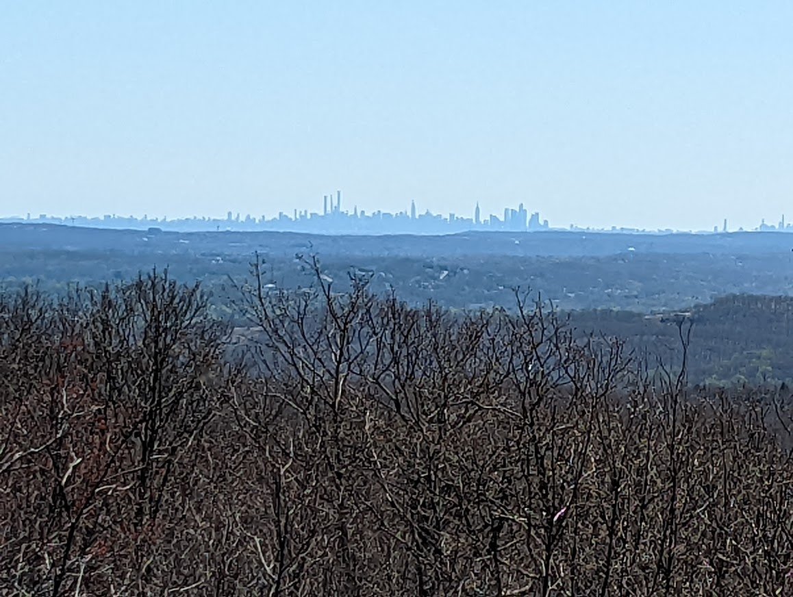
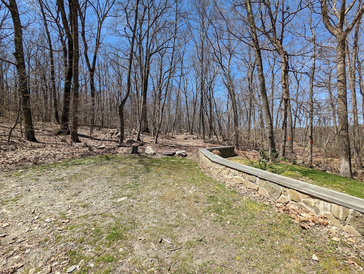
This was the last remaining section that I had to conquer in Norvin Green State Forest: a little section that connected Norvin Green to Newark-Pequannock Watershed. And, when I say “little” I say there involved a climb or two and 5+ miles of woods walking. I twisted my ankle a bit on the descent from Buck Mountain so on my way back, I opted to road walk rather than going up and over again. No need to risk injury and potentially delay the season before it’s gotten started, amiright?
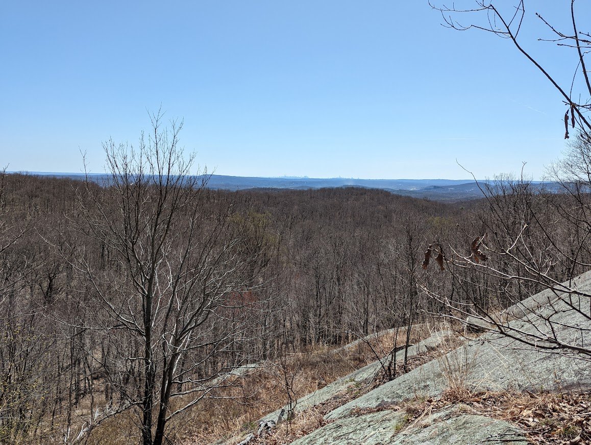
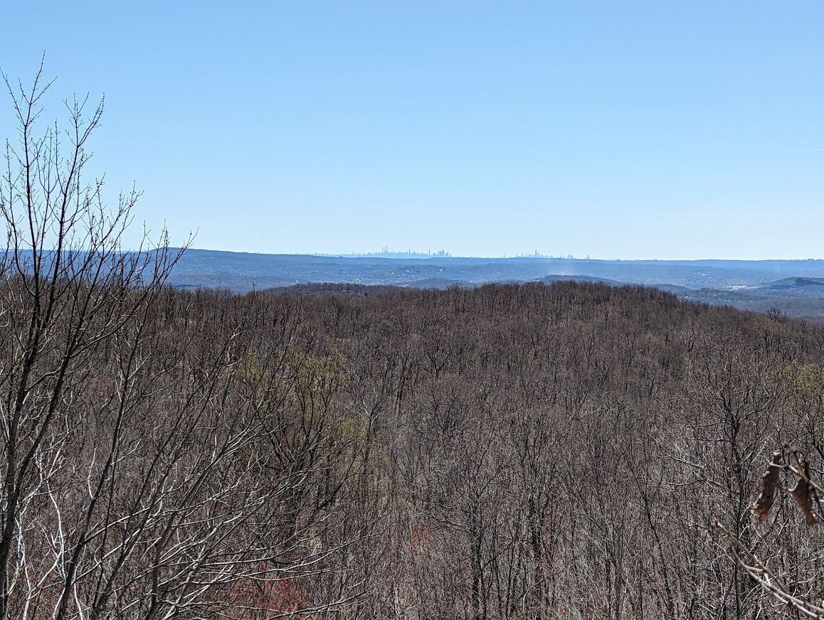
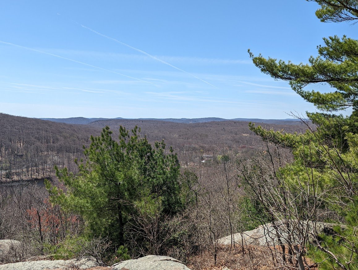
It was a great hike, despite, and I have to say that it much easier to get up Buck Mountain than to get down Buck Mountain! No matter if you are climbing it’s east face or west face!
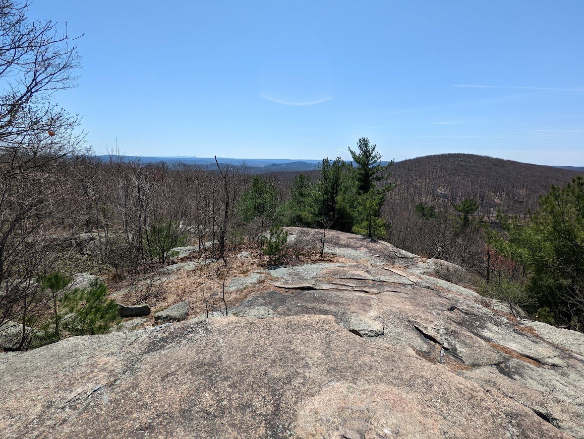
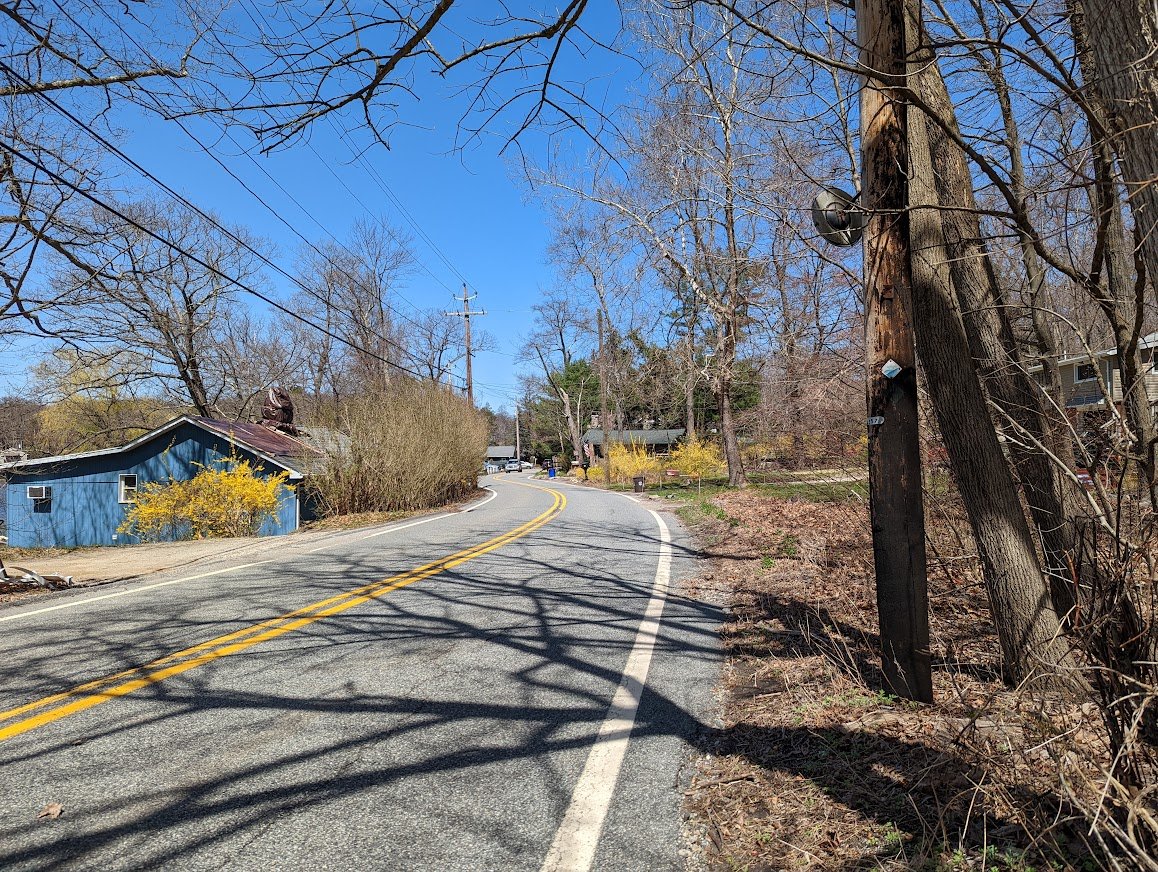
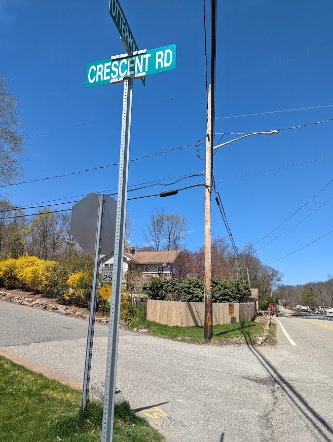
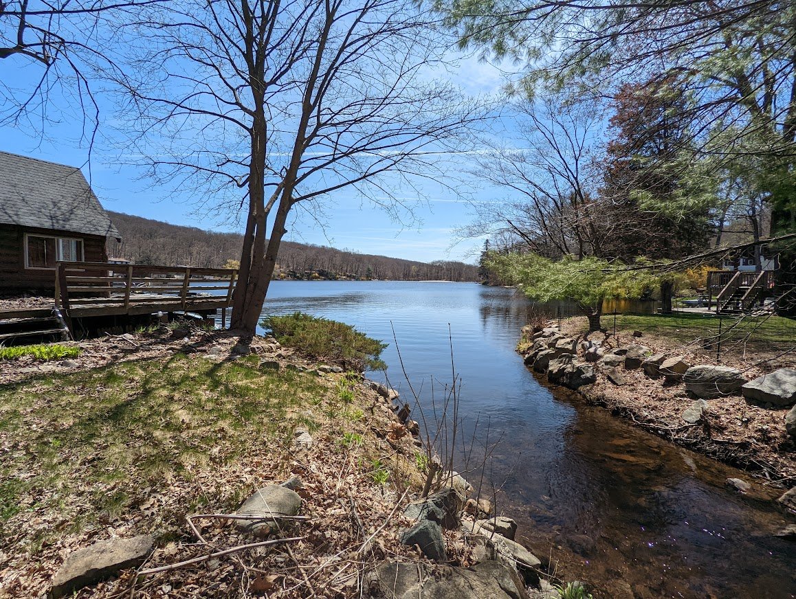
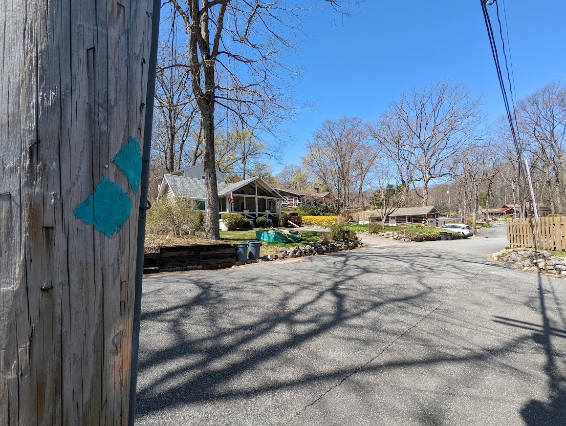
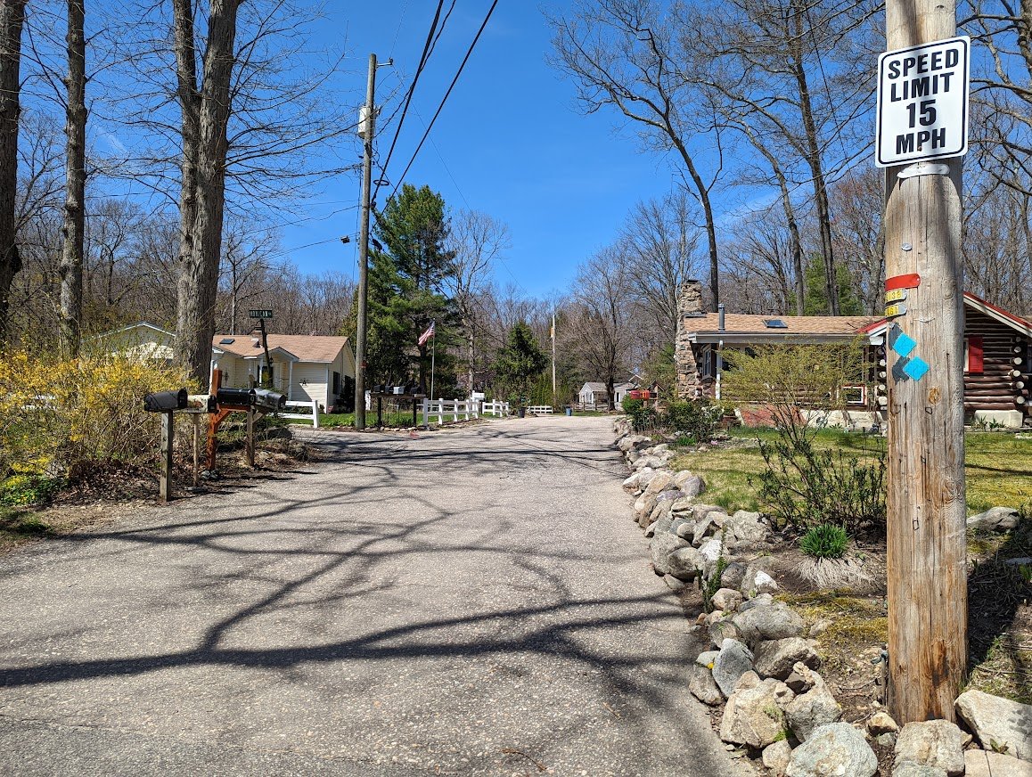
This section of the Highlands does demand some road walking through a local lake community, but it was very pleasurable and easy going. People said hello as I passed and no one looked at me cross-eyed wondering what the heck I was doing. There are restricted areas on the westernmost edge of Norvin Green, before it connects with Newark-Pequannock watershed, so just stick to the trail and try not to veer off of it, despite the tempting little unmarked trails. The restricted areas are private property, so it’s just a matter of respect, y’know?
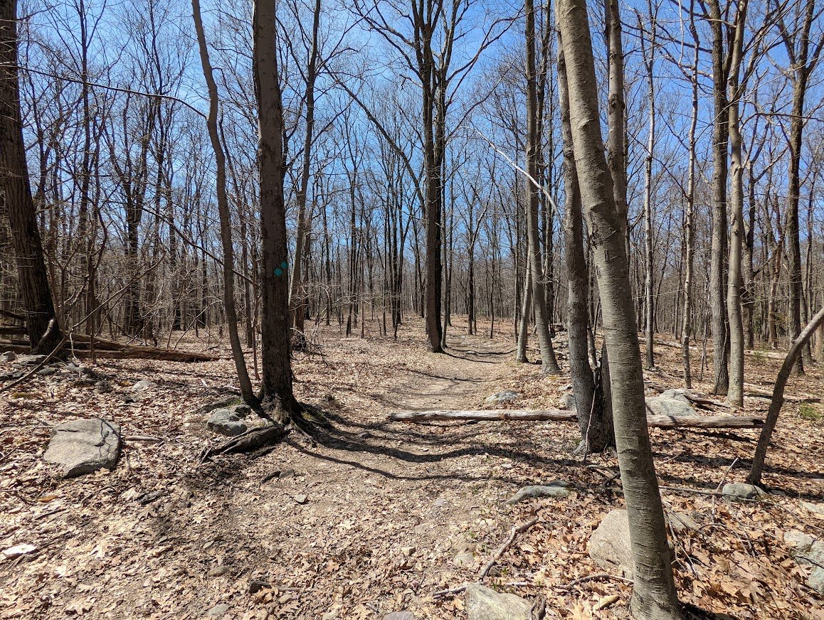
Overall, pleasurable hike. Well traveled and it’s actually quite easy once you get over Buck Mountain and you can really pick up the pace. It’s not my favorite section of the Highlands Trail, but there certainly wasn’t anything terrible about it. I smiled the whole way through, so that ought to count for something!
Norvin Green State Forest
Highlands Trail

Total Mileage:
5.54 miles
Total Elevation:
1,187 feet