
Highlight Hiker Blog

June 6, 2021
Norvin Green State Forest &
NJ District Water Supply Commission
Stonetown Circular, West
So, going back to this hike is a little tough for me because I injured myself pretty badly. I woke up early in the morning with the intention of going around the entire Stonetown Circular loop (red/white triangle blaze) but at the halfway point, I called for a pick-up and had to take off several months from hiking to recover.
If you’ve read any of my previous entries, you’ve heard me talk about how my short stature can sometimes give me pause along the trail. Well, yeah, that was once again the case here. It was such a beautiful day and such a beautiful hike but one tiny little error in judgement and boom! Hiking season (which for me is pretty much all seasons but freezing, high wind season) was nearly kaput!
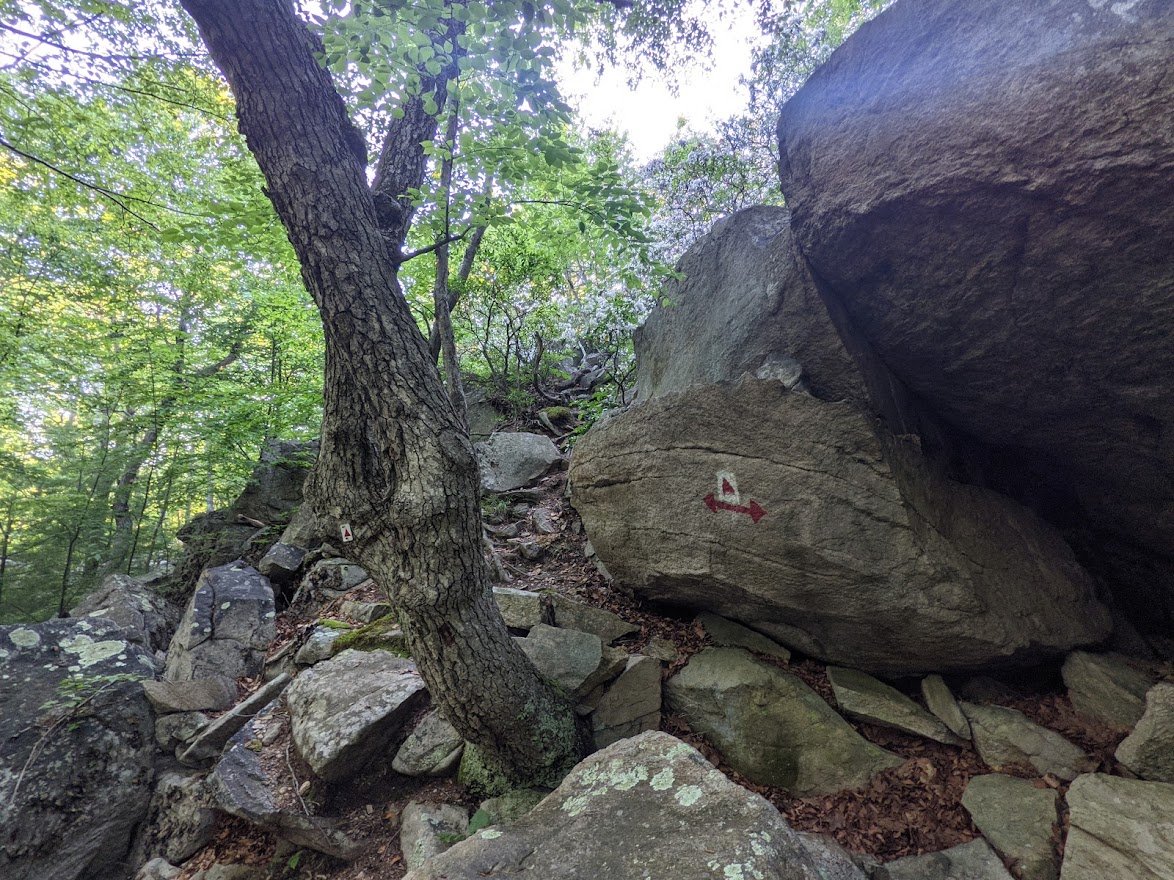
The header image is the exact spot where it all went down. Or didn’t go down, as was the case. There is an enormous piece of glacial erratic on the trail, with a tree wedged right up to it’s side. You can’t pass around it. You can only go over it. I decided not to risk jumping down, so I tried to ease down using the tree. It didn’t go as planned. My left foot was high on the rock, my right foot was on the tree, and then my left foot was caught while my right foot started to slip. As a result, my left hip started to zingy-dingy with pain. I’d done some sort of damage to soft tissue. Hopefully not irreparable damage, but I knew instantly that was pretty bad. I hiked gingerly the rest of the way but still had uneven terrain, rocks to scramble down…. it didn’t look too good. And it wiped me out.
BUT THAT DOESN’T MEAN YOU SHOULDN’T DO IT!
Holy smokes, look past my stupid mistake (it was a poor decision on my part, for sure) and look at this trail! Look at these photos! I’m not an early riser. My life in the theater turned me into a night owl at a very young age but wow! I actually really enjoyed waking up just before dawn and getting out there. So much more wildlife, and cooler temps, and the sunrise and WOW. I was a big fan.
Look, hundreds of people travel this trail without my problem, so don’t write off Stonetown Circular. I know most people only do the scenic view section of Little Windbeam to Windbeam on the east side, but there is so much more to the Stonetown Circular! It is a very challenging hike, though, so if you don’t have a full day to dedicate to it, do it in chunks! It’s pretty easy to hike just the east side and/or just the west side, or you can be like me and break it up into several out-and-backs. There are so many ways to explore this loop! My one piece of friendly advice: bring trekking poles. And lots of water. And maybe some lunch.
The east side of STC is the last trail that I have left to hike on this map. I think my hip has done a pretty good job healing, so I’m determined to get it done in 2022, it’s just a matter of when since the temps have been really cold and the wind ferocious, and that’s just not much fun to hike in, if you ask me.
Check out the gallery for more detailed descriptions (and the jokes… don’t forget the jokes) and check out STC for yourself!

NY/NJ TC has broken up the Stonetown Circular trail onto two maps: Long Pond Ironworks/Norvin Green North, and Norvin Green South. The north section is at the top of the page. Directly above is the south section. As you can see, I wandered a little further south from the STC to complete the missing piece of The Highlands Trail which connects the northern section of Norvin Green to the southern section.
Norvin Green State Forest & NJ Dictrict Water Supply
Stonetown Circular (west)

It was going to be a gorgeous day and I was up before the sun to hit the trail early! The sky was so beautiful and filled with color as the sun rose, that I stopped to take a picture of Monksville Reservoir while on the way to Burnt Meadow Road.

This is the southernmost parking area on Burnt Meadow Road. You can drive along further, but I don't recommend it: the pot holes are car eaters!

You can easily fit 10+ cars here with roadside parking.

This woods road leads west to Norvin Green, but it is strictly for authorized vehicles... or so it is posted.

Burnt Meadow Brook in the early morning sun, at the flush of summer

Feeling good and strong as the day started, I was full of eager anticipation!

I saw a lot of deer that morning, and, not gonna' lie... a little bit nervous of encountering a black bear, but instead I saw these cute little eastern newts!

The trail starts easy with really short, but steep inclines, like this one. The terrain was good, though, and the tree cover was appreciated.

Hiking eastward toward the rising sun

I can still feel my excitement for the trail - I was looking forward to a very long day with climbs and views as I headed toward the Windbeams.

The greenery was everywhere: the vibrancy of summer!

The trail remains single track, though it crosses several woods roads on it's way to Tory Rocks

Surprisingly, I didn't find a single tick on me despite the ground cover. Yeah, the ticks came later. LOL

I'm always surprised by the amount of leftover leaves from fall... I'd have expected them to have broken down a bit more by the time July rolls around. But, there they are!

This particular section, while well travelled, feels quite remote with its dense mountain laurel coverage

You've got to pretty hard hearted to not love mountain laurel!

I mean, look at it!

As you get closer to Tory Rocks, the glacial erratic starts to emerge along the trail
And you start to ascend

Hey little buddy! Whatcha' up to this morning?

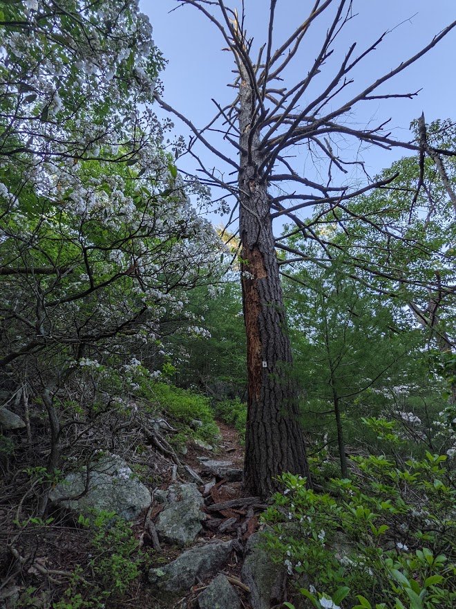
I wish you could have been there to smell this section. The pine scent was strong and amazing!

Exact same spot - just a wide angle landscape shot. I liked this spot this very much.

Tory Rocks was the coolest - figuratively and literally. The trail practically wraps around itself as it weaves around the rock. You can feel the temperature difference that the rock breathes out. It's a very unique and powerful place.

With rocky terrain

After the short trip through Tory Rocks, you'll walk walk up a short hill and then down into a valley.

Why hello there, you handsome thing, you!

There it is: an Eastern Box Turtle, just chillin' in the middle of the trail. Probably waiting for the sun to come out so it can sun itself on that rock!

SO CUTE!!

Another gorgeous pine forest. Too bad these pictures can't come with smell-o-vision!

Green blueberries, I believe. Right there trailside!
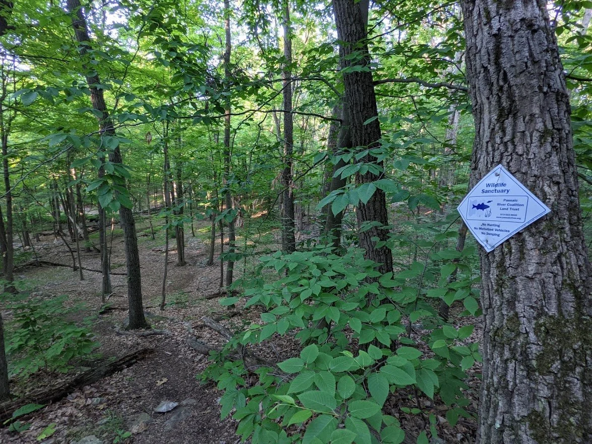
When you get far enough south and east, Norvin Green ends and North Jersey District Water Supply Commission begins, you meet up with these signs.

There are no other indicators that you have gone from one protected forest to another.

This adorable seasonal brook feeds into Burnt Meadow Brook eventually.

Same spot, just a wide angle landscape shot. Which one do you like better?


Crossing the brook with a quick rock hop

I was making good time: the sun was still low in the sky despite all my stops for photos and talking to toads and turtles.

There is a residential property just north of this stretch of trail. How lucky are those people? How do you get to purchase a house with that kind of fantastic location??

Hiking on the side of a hill on a rocky path on an early summer morning.

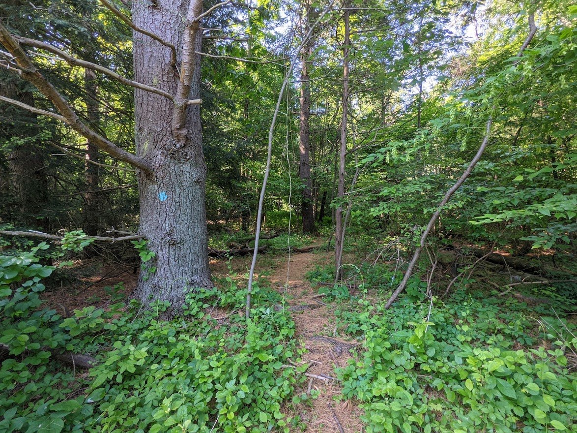
Here's where the trouble began.... this stretch I am still paying a debt of pain.

I took a picture from atop the rock where I was stuck. That tree ahead was blocking the most natural path getting down from the rock.

From that point on, walking became more and more painful. So while the view was rewarding, I was distracted by my anxiety over the rest of my hike.

The mountain laurel fields did cheer me up a bit

Mountain laurels

More beautiful mountain laurel

It was 7:30 am when I reached the highest point on Signal Rock

Getting over these boulders, I knew I needed to stop hiking. Every step and skip was painful.

So I took a break here and changed my plan

I called my family and asked them to meet me at the Stonetown Rec Area to pick me up. It was really early. They were all still asleep!

Another section that exacerbated my previous injury. Getting down these rocks nearly made me cry out my hip hurt so badly.

I just kept my eyes on the prize below: smooth trail and no more Tory Rocks!

Another little toady!

Nice camouflaged, buddy!

Once you get below the rocks, the trail opens up. The trail and the road are parallel to one another, so keep a sharp eye out for the trail marker, or else you'll end up exiting the forest at a different spot.

The trail pops out at Magee Road and there is a little parking area, but it is not listed on the map.

Just a little brook, doin' it's business

MaGee Road is a residential street that eventually joins Stonetown Road. It's a short distance but at the time, every step was agonizing and it felt a lot longer than it was.


Garlic mustard? I'm not 100% sure what it is, but it was very bright and sunny.

I hung around Stonetown Rec Area for a little while for my ride back to Burnt Meadow Road.

It's a great place for families to gather. They have baseball fields, basketball courts, and a tennis court... and bathrooms!

As I waited for my ride, I started to see hikers meeting up for a walking tour up the Windbeams

The rest (and the vitamin I) did my hip some good, so I decided to go ahead and do and out and back of the Highlands Trail while I waited.

But to get to the Highlands Trail, I first had to take the Stonetown Circular from the Rec Area to the base of the Windbeams climb.

Even though it is highly used, it is still primarily a single track

There were some wet areas in this section....
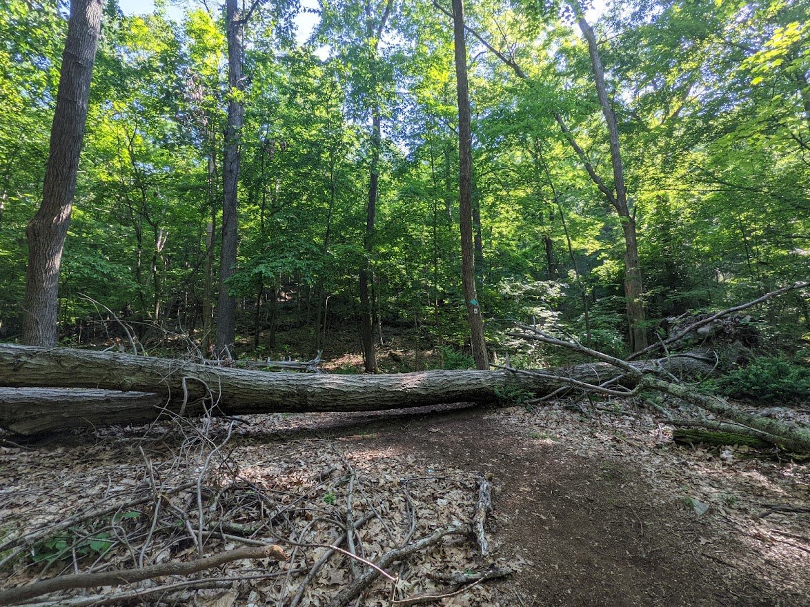
... and a few blow downs...

But it was a pleasurable walk

Once I got to the point where the Highlands diverged from the Stonetown loop, it was a quick descent back down to the road

Gentle at first, a little stepper at the end, but all going down

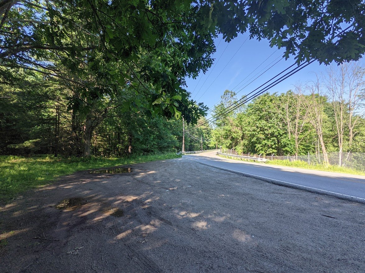
The road walk was a bit treacherous as there is no path other than the slender shoulder.

Luckily, it was still fairly early in the morning, so traffic wasn't yet heavy, as it can be on weekends

I wasn't fond of walking the road, but at least my hip was feeling better!
This is one of two roadside parking options for reaching the Ball Mountain area of Norvin Green State Forest

Here's where Tick-tropolis began....

I could see it plain as day: one tick per step in the section... and that was with Natrapel!
The trail was nice, however, once it got off the road

That dragonfly was enormous!!

Here it is.... Tick City.

I swear I could feel them latching on to my legs while I walked through the fern grove

I HATE TICKS

On the way back to the Stonetown Rec Area, I decided to avoid being a walking tick buffet and used the other side of West Brook Road.

I walked the roadside back vs. the trail. I thought it would be faster/easier and I was wrong. Then my ride picked me up. And I had to stop hiking altogether for some time to let my injury heal.