
Where am I going?
Highlight Hiker Blog
Newark-Pequannock Watershed, Two Brooks/Highlands Trail
October 6, 2020
After some of the other, more challenging hikes I’ve been on recently, the combined Two Brooks trail (white blaze) and Highlands trail (teal blaze) was too easy. But I kinda’ needed that because I didn’t have a lot of time in the afternoon on October 6th. With all my photo and video stops, it took me approximately 45 minutes to complete the 1 mile of west-to-east walking over little hills and bridges (both man made and natural) through Newark-Pequannock Watershed.
Normally I dread east-to-west trails. They’re usually short cuts to get to larger, better traveled north-to-south trails, and as such they tend to take you through: option #1. horrendous rock fields, option #2. deep, massively marshy valleys, option #3. up and over high ridge lines (read as: treacherous scrambles), or option #4 . a combination of all of the above. Luckily, this little section of trail is quite popular as a gateway to the Fire Tower West trail, so while it is definitely categorized as option #4, it’s not AS bad. Though I’ll add here that in the spring this trail would absolutely be a deep, massively mucky marshland with a difficult stream crossing. Knowing what I know after years of hiking in these parts, I knew well enough to hold off on this piece of trail until fall when the brooks would be low, and the marsh would be dry (Highlight pats herself on back).
Two Brooks and the Highlands trail travel this line together. Originally it was just the (appropriately) named Two Brooks trail, but when the Highlands was developed in 1995, it partnered with many existing trails and Two Brooks is one of those.
While you see three brooks from the Two Brooks trail, you only cross two. Both brooks you cross originate at Cedar Pond (closed to public) and empty into Clinton Reservoir. Neither of the brooks are named on my map, so I will affectionately refer to the them in the photo journal as Cedar Brook East, and Cedar Brook West to avoid all confusion, even though naming them something like “Uno” and “Twono” would be way more fun.
If you are planning a hike to the Watershed fire tower, or if you want to have a nice long hike around Hanks Pond and P1 is full, Two Brooks is a really beautiful entry to the Bearfort region.
I’ll let the photos tell the story, though. This .75-mile piece of trail is like a super model. Have a look, you’ll see what I mean!
NOTE: ALL HIKING WITHIN NEWARK-PEQUANNOCK WATERSHED REQUIRES A PERMIT. THE ANNUAL PERMIT COSTS $14.00 FOR NON-RESIDENTS AND IS CHEAPER THAN THE FINE YOU’LL GET IF CAUGHT HIKING WITHOUT PERMIT. YOU CAN PURCHASE YOUR PERMIT ONLINE OR AT THE WATERSHED OFFICE ON ECHO LAKE ROAD IN WEST MILFORD, NJ. FYI: THE WATERSHED IS REGULARLY PATROLLED BY RANGERS ON WEEKDAYS AND WEEKENDS AND IS FIERCELY PROTECTED BY REGULAR HIKERS WHO WILL REPORT CARS WITHOUT APPROPRIATELY DISPLAYED PERMITS.

7 cars can easily fit in the pull-off parking at P4 on the nobo side, but there additional parking at the P4 sobo side, just over the bridge if this pull-off is full.

P4 nobo is very well marked.

The welcome kiosk at P4.

The welcome kiosk has a map, but the Two Brooks/Highlands Trail portion was damaged, so if you plan to hike here, don't rely on the kiosk to provide an overview. Bring your own map.

Mossmans Brook flows under the Clinton Road bridge at P4. You may remember my crossing Mossmans Brook earlier this season while hiking the BWC.

Mossmans Brook is technically the first brook you meet on the trail, but since you won't cross over it, it isn't part of the Two Brooks name.

A cute little stone path leads in and out from the trail head.

I walked beside Mossmans Brook for a little ways on a rooty, mossy forest floor.
Mossmans Brook actually originates from Greenwood Lake and feeds into Clinton Reservoir. Its size is directly correlated to spring thaw and rain, and it frequently floods.

There is quite a bit of deadfall along the trail, both old and new but the NY/NJ Trail Conference maintains these trails and have done a superb job keeping them clear of large obstacles.

The trail is generally easy with low hills rising and falling but the biggest challenge are the boulder fields and the marshland. Mostly, the trail is single track and leafy.
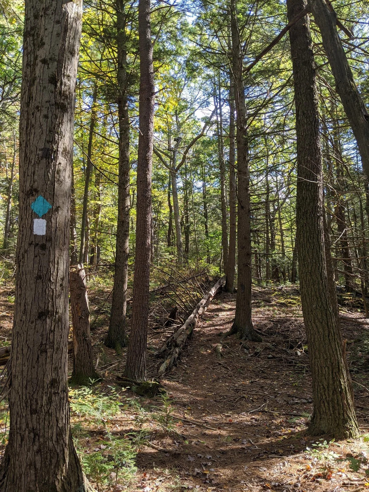
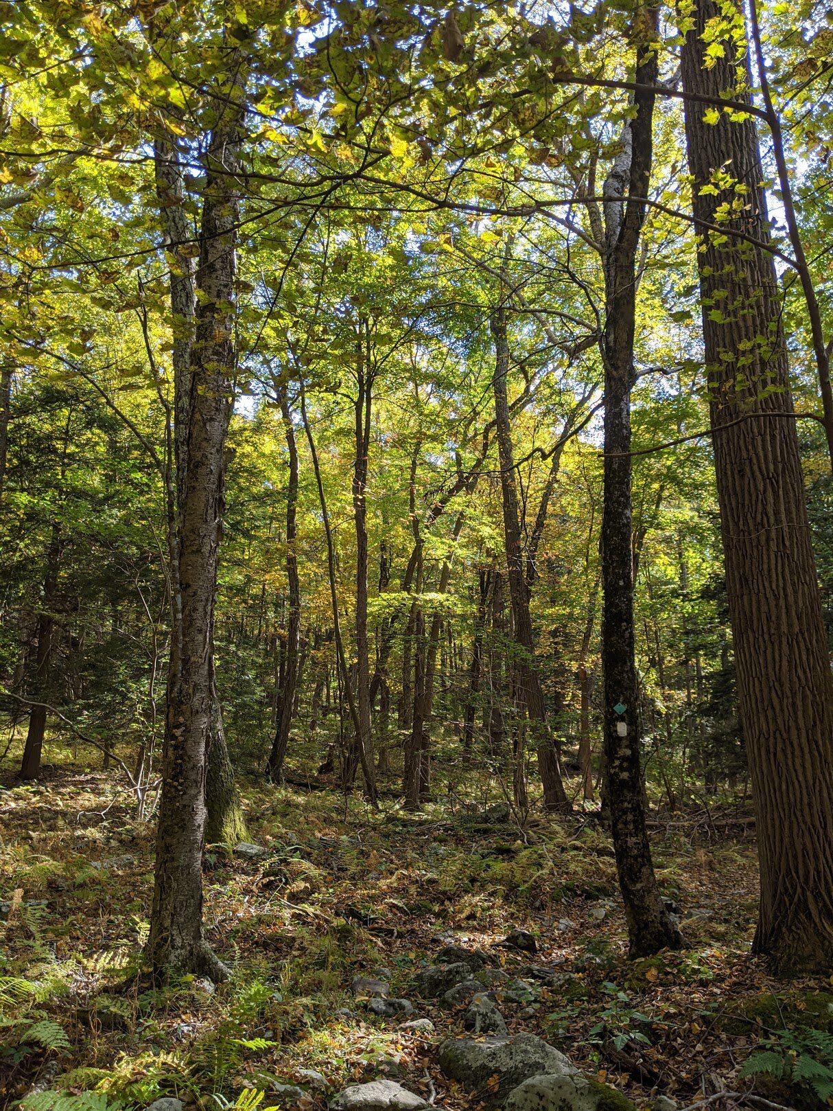
The white blaze is the Two Brook trail, and the teal blaze is the Highlands trail. The Highlands trail stretches from the Delaware River in southern New Jersey to New York State. A large chunk of the Highlands runs through northern NJ, including Long Pond Ironworks SP, Norvin Green SP, and the Newark-Pequannock Watershed. Though it is a long distance trail, camping is not allowed in many sections of NJ.

Yep. That's the trail. And a perfect example of what most east-to-west trails are like in this area as they run perpendicular to the high ridge lines of Bearfort Mountain region.

The trail is less than 1 mile, so it doesn't take long before you cross Cedar Pond West.

This tree is a real fungi!!

The bridge is just a little warped...

... juuuuuust a little bit warped (but perfectly steady). In the background you'll see an enormous pine that was rooted during a storm. It was at least 12' high and had boulders wrapped up in it. It was HUGE. And a little bit creepy to walk beneath, not gonna' lie.

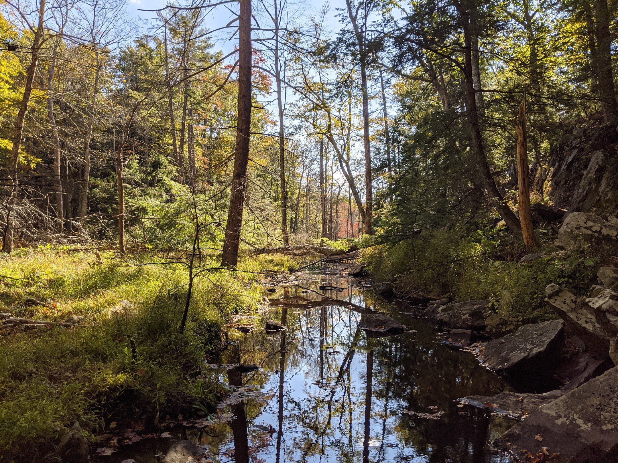
Cedar Pond West was really dry. But you can see it has the potential to seep over into the marshland surrounding it.

This is about as steep as the hills get throughout Two Brooks.

You can tell it's harvest season by the browning of the ferns on the ground.

Cedar Brook East is closer to the junction where Two Brooks meets Fire Tower West than it is to Cedar Brook West.

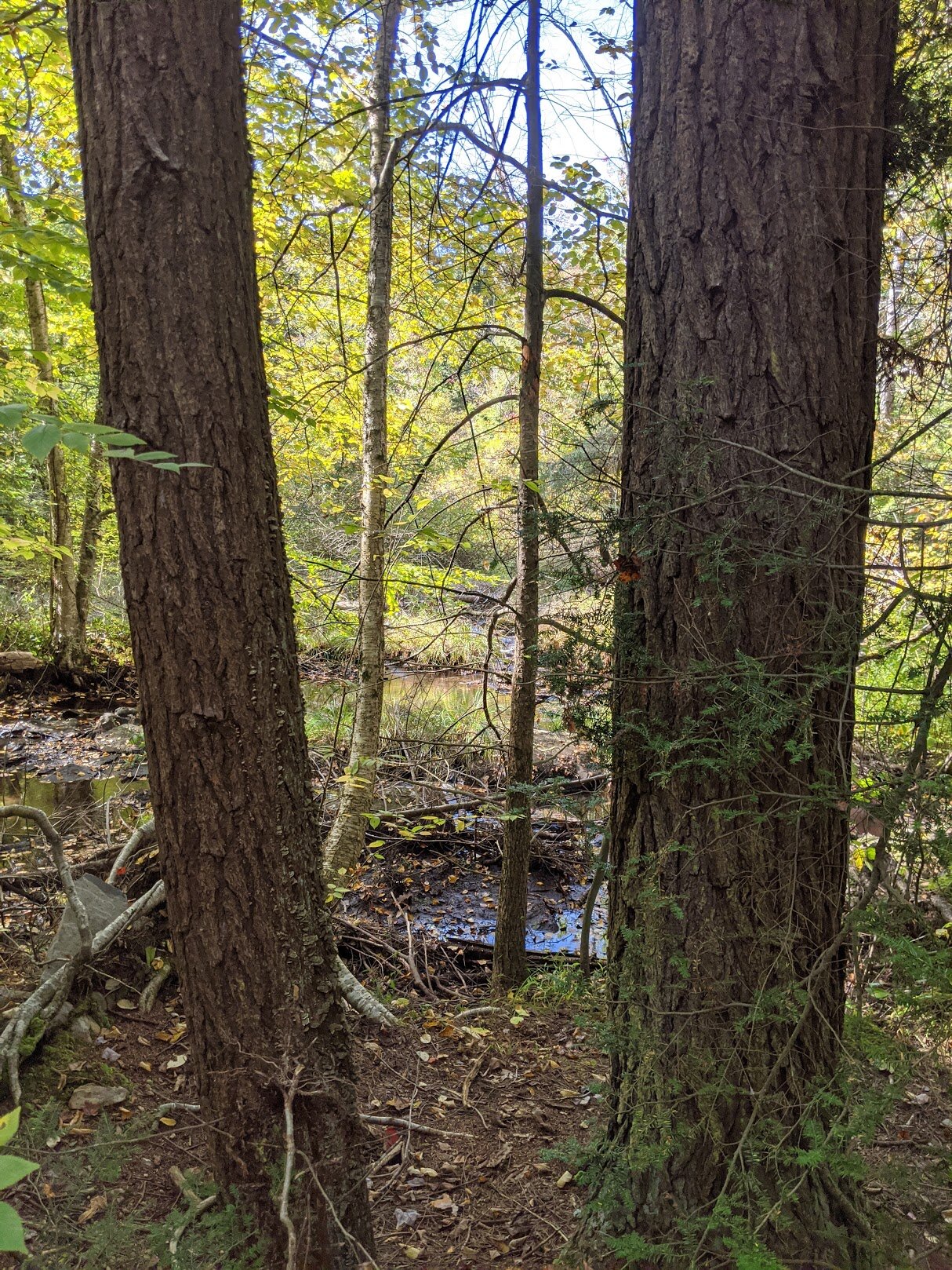
Your first glimpse of Cedar Brook East comes from above as you round a corner in the trail.
Yep. That's the trail.

It's actually not as bad as you thought, is it? Yeah, this was a piece of cake.

The crossing at Cedar Brook East. Isn't it beautiful?

A natural bridge crosses Cedar Brook East and there is a nice large rock right smack dab in the middle. When the water is low, and the bugs are tempered, you can sit here for a rest and a snack, and dip your toes in the water.

Where I came from...
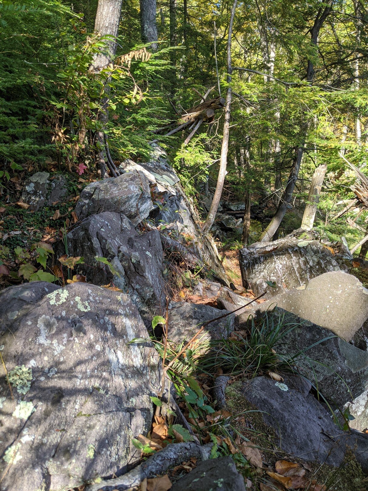
and where I was headed... please pay close attention to the boulder field. Mr. Wobblestone's entire extended family lives here. Watch your step.

As I closed in on the trail head, the woods changed yet again to reflect the higher altitude.

Two Brooks trail head on the eastern edge, where it greets Fire Tower West. I walked on Fire Tower West to reach the 1 mile mark.

If you've been a follower of Highlight Hiker on FB, you'll recognize this view... I took the exact same picture earlier of this year.

Would have been cool to have this warning on the western side of the river! I didn't need it in the fall, sure, but what about those poor bastards hiking during the spring thaw???

You can't quite see Cedar Pond East from here.

That woodpecker was hungry!!

A look down the trail before the Cedar Pond East boulder field.

Not that much later from my first crossing, but look what a difference the setting sun makes on the view.

The trail diverges west (to the right) away from Cedar Brook East, which you can see on the left of this photo. It's a trickling brook, not a rushing gushing river. You'll see it before you hear it!

Autumn paints a pretty picture over Cedar Brook West for anyone who cares to visit.

Headed back to the parking area after a short visit to the woods.

I love the benches at the welcome kiosks here. I never remember to photograph the back of the kiosk, which has more info for hikers.

See? More info. Meh. Time to go. Goodbye, Two Brooks! Thanks for the splendid afternoon!