
Where am I going?

Highlight Hiker Blog
May 12, 2021
Norvin Green State Forest
Outlaw to Highlands
The first time I climbed up to Wyanokie High Point was July 2016 with my two kids and one dog. We had a wonderful morning appreciating the views, and one the company of one another. I’m surprised it took me this long to revisit, though, because I remember seeing this unique teal blaze that read “Highlands Trail” and at the time just wanting to follow it to see where it led. I didn’t know what it was, or really have a good idea of where I was at the time. I picked a spot on a map and off we went. We loved the landscape and views from the High Point and while heir interest has waned over the years, all I wanted to do was hike more with my super cool kids.
May 12, 2021 marked the first time I visited Wyanokie High Point since then. And it is just as I remember with an outstanding view of the Wanaque valley below. Much like the views of Greenwood Lake high above Bellvale Mountain, you will never forget the beauty of this long vista.
And getting there via the Outlaw trail (orange blaze) was really fun. More fun than I anticipated. Maybe because it’s called the OUTLAW trail (que whistling and tumbleweeds ala spaghetti westerns) but honestly, I had fun hiking this loop I curated for myself.
I started out on the Otter Hole trail (green blaze) and made my to the Wyanokie Crest trail (yellow blaze). Shortly after I joined the OUTLAW trail (que whistling and tumbleweeds) which in reality is just a short connector trail. At the northern terminus I turned east and headed up to Wyanokie High Point via the Wyanokie Circular (red blaze). Once I was done marveling at the view I turned back the way I came and diverted south on the Highlands Trail over Carris Hill and continued following until I reached the Otter Hole trial (and parking lot).
Normally when I’m hiking, I think a lot. But on this particular day I had nothing on my mind. I just enjoyed being in the woods, climbing up to Wyanokie High Point (which miraculously was unoccupied by other hikers) and over Carris Hill like the OUTLAW that I am (que whistling and tumbleweeds). The only thing I really thought about was how incredible this machine, the human body, is and how it carries me to so many wonderful places, despite the stress and strain. It’s pretty fantastical!
Norvin Green State Forest
Outlaw Trail to Highlands Trail
Total Mileage:
5.0 miles
Total Elevation:
1,886 feet

Otter Hole trail (green blaze) starts as Otter Hole trail starts: rock hopping over Posts Brook!

So many trails... so little time!

I turned onto the Wyanokie Crest trail but this time I was headed up instead of down.

As usual, the Wyanokie Crest trail (yellow blaze) is littered with small boulders.

You've seen this terrain before. It really is easier to handle uphill than downhill!

Once the climb up Wyanokie Crest trail begins, though, the terrain evens out and you pass through an incredible thicket of rhododendrons.

Do not adjust the image on your screen. It really looks like this!

A scenic view emerges soon after with a look to the north...

... and a look to the south.

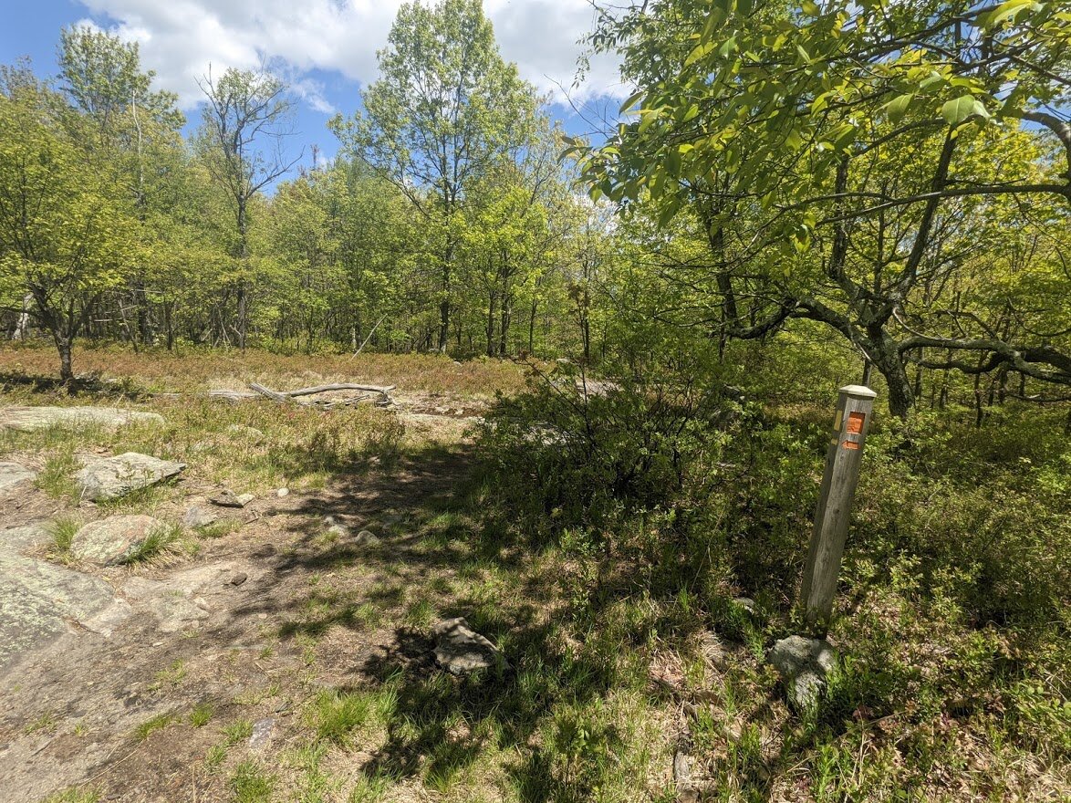
Not much further up a nicely graded climb you come to (whistles and tumbleweeds) THE OUTLAW TRAIL (orange blaze).
Well, pilgrim, looks like it's time we head up the Outlaw.
They say I killed six or seven men for snoring. It ain’t true. I only killed one man for snoring. — John Wesley Hardin.

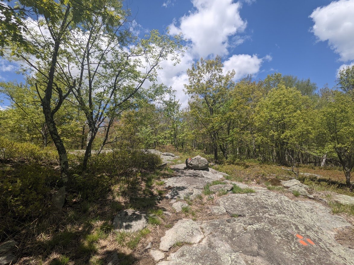
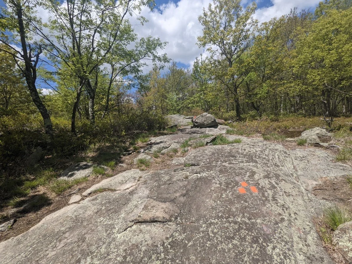
The Outlaw trail is a pretty lil' trail that stays up in elevation.

The Outlaw trail is fun, but it lasts about as long as a pint of whiskey in a five handed poker game.

There would be all kinds of rhodo growth scattered throughout the length of this trail.

It all feels quite magical in this part of the forest.

The Wyanokie Crest trail is well traveled, but still quite overgrown in some sections. I met quite a few hikers headed in the opposite direction.

BE MORE ERRATIC!

This section is high and exposed - if you're hiking this route on a summer day, make sure you have sunscreen and water.

Thank you, again to the NY/NJ Trail Conference maintainers who do all this work!
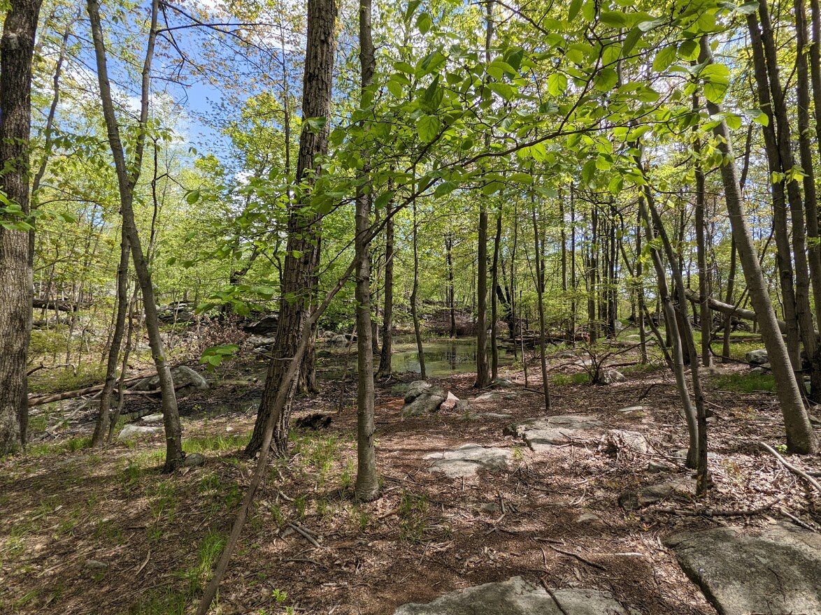
Even at higher elevations you can still find wetland environment.

This lengthy section of the trail was really enjoyable, but as with all scenic views: you have to go down before you go back up!

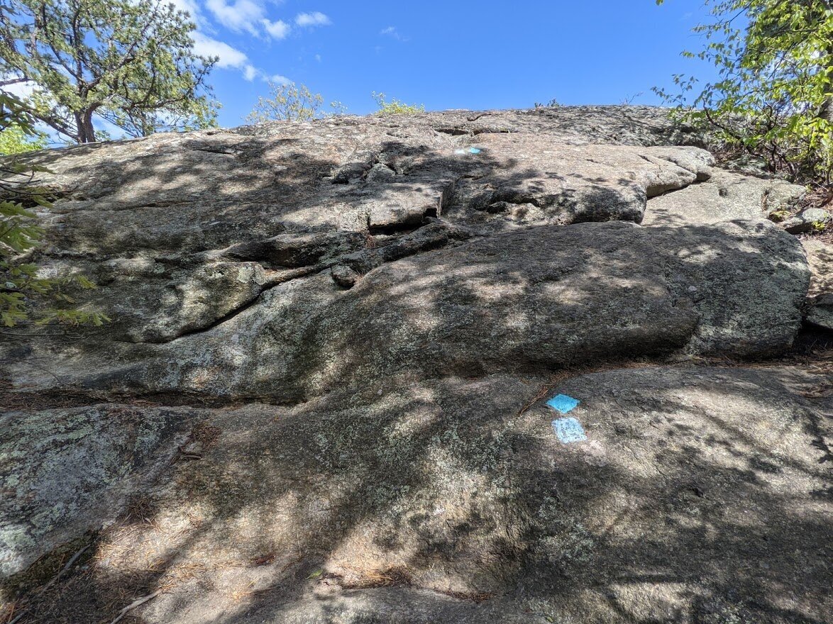
The Wyanokie Crest trail joins the Highlands (teal blaze) for a bit before they go UP to the High Point.

As always, Norvin Green is well marked for those without a map.

Once the trails merge near the High Point, they also get wider and worn.

This part of the park is overused by humans and you will rarely see wildlife: even snakes tend avoid this high profile area.

This is the last haul up to the point. From here the trail becomes very steep with some scrambling.

The easiest part of the section are the first few steps around the massive boulder.

Believe it or not, that drop off is the trail. I didn't use poles to get up or down but I took my time to prevent injury.

That little lump waaaaay up in the distance...? That's Wyanokie High Point.

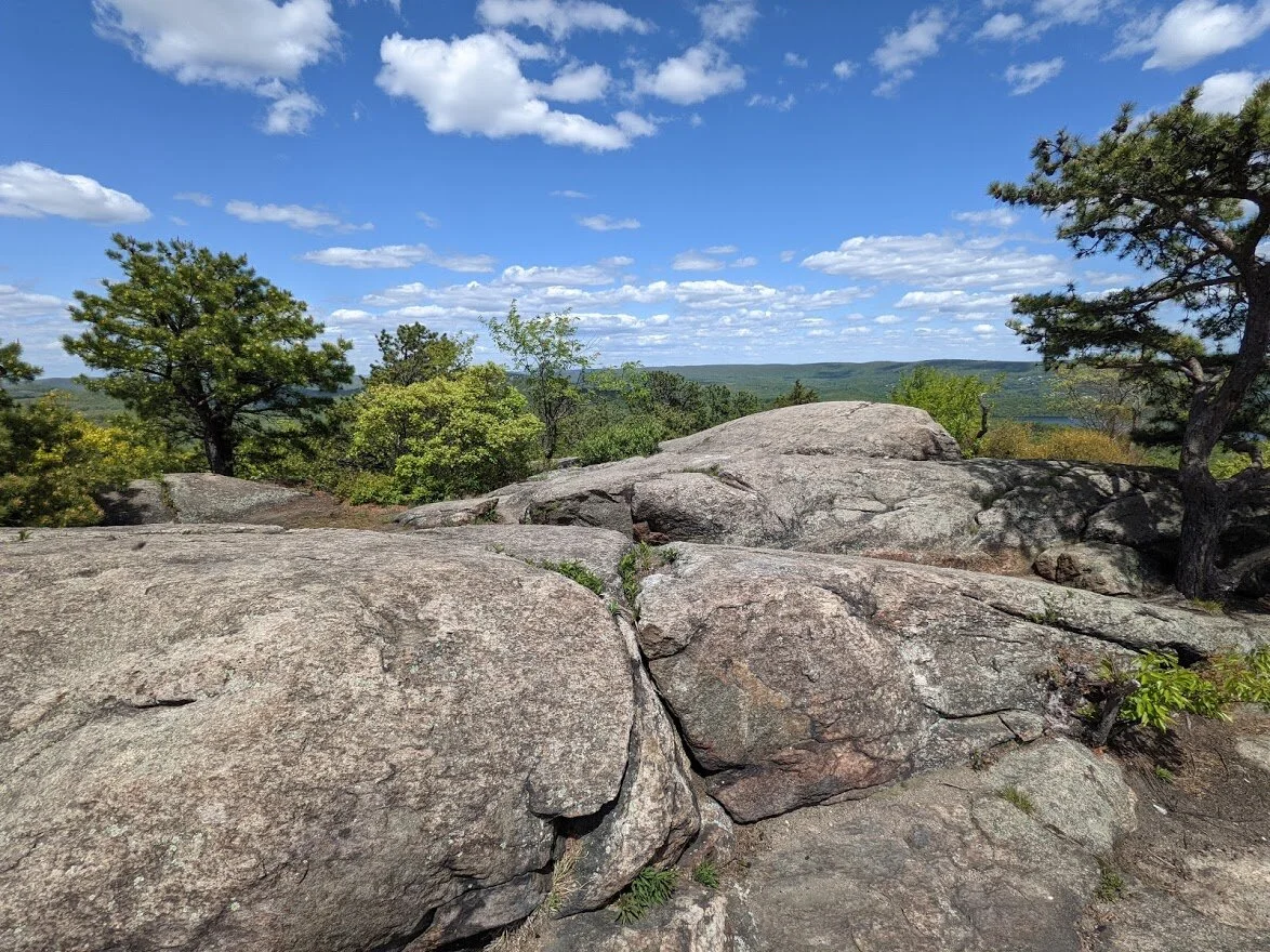
There's the million dollar view on top of the High Point with the wide angle lens.

Looking further east.

Do you see the rocky outcropping in the distance? That's Yoo Hoo Point. Hikers can call out to hikers at Wyanokie High Point from that outcropping and be heard.

Looking back in the direction which I came up to the High Point.

It was here that I realized that I was all alone... I had the whole point to myself! So I let out a big howl.
The rocky top can fit a number of people, but I was fortunate to be it's sole occupant on such a perfect hiking day.

If anyone can tell me why there is a stake driven into the rock, I would love to know!

With all that greenery for miles and miles you wouldn't know you were in a densely populated area.

Before you lies Manaticut Point, Tory Rocks, Harrison Mountain and beyond.

To think.... I have thus far hiked all of the trails that lie in the woods below... unimaginable!!

I love the trees you find on mountaintops. They are the most resilient and beautifully shaped by the elements.

More Wanaque Reservoir. You worked so hard to get up here that you hate to leave.

But the woods are calling, and this direction I am hiking (well... eventually... first I have to get down the mountain).

See the trail signage down there? You gotta' climb down there somehow!

But it wasn't too difficult. There are worse rock scrambles, trust me.

I headed back via the Highlands Trail (teal blaze) and it seemed to stretch on forever before me.

I had to get to Yoo Hoo Point first, though.

I stood here, facing east for a breeze when all of a sudden a long, swift black rat snake zipped between my legs! I was so startled I screeched. Then I howled with laughter.

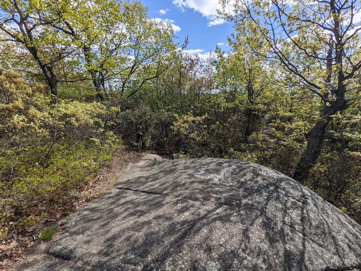
Coming down off the high elevation there are some ups and downs, but a lot of straightaways like this one between.

The ancient rock formations surround you up here in Norvin Green.

And when it isn't surrounding you, it's beneath your feet!

Overall, though, this section of trail is really wonderful with sun speckled woods and greenery in every direction.

Once you approach this rocky section, you have a steep-ish climb ahead that seems to be in a drainage ditch rather than a trail.

It was tougher to get down this stretch (on a later hike) than it was to get up it. The trail itself is eroded from hundreds of years of rain and use. The new trails to the side will become the same eventually.

And then there is the entry to Carris Hill. I kind of looked straight up and said, "Well. Now what?" It's straight forward climbing. Once again, easier to get up than down.

The views on top are worth your effort. It feels very secluded here, and the breezes are so refreshing.

It is quite exposed, though, and in high temps can become a sweltering steamer.

Fortunately, I didn't have problems with the heat and there was plenty of breeze to cool me off. I enjoyed standing there, letting mother nature cool me down.

These trees are no less a marvel than the tree that is at the top of Wyanokie High Point.

From this point, you can head south in two directions... on the yellow blaze to Chikahoki Falls...

... or the Highlands Trail (teal blaze). I chose the Highlands Trail route.

This photo is looking back at the crest of Carris Hill.

Per usual, once you get off the rocky tops, you plunge back into forest. But don't fret, there are more exposed rocky hillsides ahead.

Such as this one. This begins a rather steep downhill climb over boot-sized rocks that want to roll under your weight. Poles are very helpful to keep you upright in that upcoming section.
I only photographed the smooth sections... it was too tough to take pictures with my poles in my hands!

One last long scenic view before dipping back down into lower elevations. That's Osio Rock in the distance!

Once you pass through the steep decline, the trail becomes quite nicely graded and the terrain starts out nice but gets more rocky as you approach Posts Brook.

Once again, this is a popular trail and it is a hard packed single track, though sprinkled with small loose rocks.

The last section through the forest back to the parking lot seems to take an eternity.

I didn't say there wouldn't be any more climbs!

But as you get closer to Posts Brook, the trail really flattens out for a bit.

You know you're getting close to the bottom when you have to walk through a boulder field.

The Highlands here turns westward. To the east is the white blaze trail that leads to Chikohoki Falls.

Crossing a brook over two trees lashed together is always fun.

After that comes the long slog back to the parking lot. Rocky terrain and eventually you will begin ascending.

A look at Posts Brook after some rain caused flooding.

This should be a familiar spot if you've been following my journey. From here you just climb climb climb back to the Otter Hole trail (green blaze) up a very wide and highly overused Highlands Trail.

None of which I bothered to photograph. Mostly because of the mosquitoes. From here I crossed Posts Brook and walked the short spur trail back to my car.