
Where am I going?
Highlight Hiker Blog
March 24, 2021
Norvin Green State Forest
Manaticut Loop (partial)
I knew it was going to rain. It was forecasted days before. The skies were dark, heavy and low. I knew it was going to rain. And I went anyway.
Luckily I planned ahead and I knew that there are two options for the Manaticut Loop: a short and long version. I had planned for the short version, but hoped for the long. It didn’t really matter to me either way…. I would be out this way again, And even after I completed the Manaticut Loop fully, I’ll have to return again. There’s still a pink trail (West Brook Connector) at the Point to explore, and remember that weird Orange Trail off the Lake Sonoma Trail? I have to check that one off the list, too. When my plan is to hike every trail, I hike every trail. Shortcuts are not in my nature.
But back to March 24th and the predicted rain. Because it was going to rain. It was just a matter of when would it start.
Rain is a funny thing to a hiker. It’s not that big of a deal, actually. So what? You get wet. Bring the right gear and you’ll be fine. The problem, especially in the area of the Jersey Highlands…? Rain makes rock very slick, and hiking boots can’t grip the surface. And the last thing you want when you’re climbing a precipitous height with a sheer drop on one side is slick rock that your boots can’t grip. Manaticut Point isn’t the highest, nor it is the steepest climb in northern NJ but there is always room for hiker error, which leads to hiker injury. Rain makes it all the more likely.
But let’s talk about the trail itself. Parking on Crescent Road, you have to hike in on the .25 mile spur trail. Where it ends, you’ve got two choices: you can follow the yellow blaze loop to Mataticut Point (left), or you can take the yellow blaze loop to Lake Sonoma. Either way, you’re going to end up right back at this point.
I turned left.
The climb is at times steep, at times super rocky, at times rooty, at times crossing water, at times so easy you think ‘Ok, now I can pick up the pace!’ and then 10 steps later are slowed down by rocks and roots or steep climbing again. But it’s a great challenge with a pretty reward.
I think this loop would be much better in the warmer months after the trees have come in. You have a greater sense of accomplishment for a climb like this when the ultimate view is a big surprise. With bare trees you see the view long before you work to get to the top.
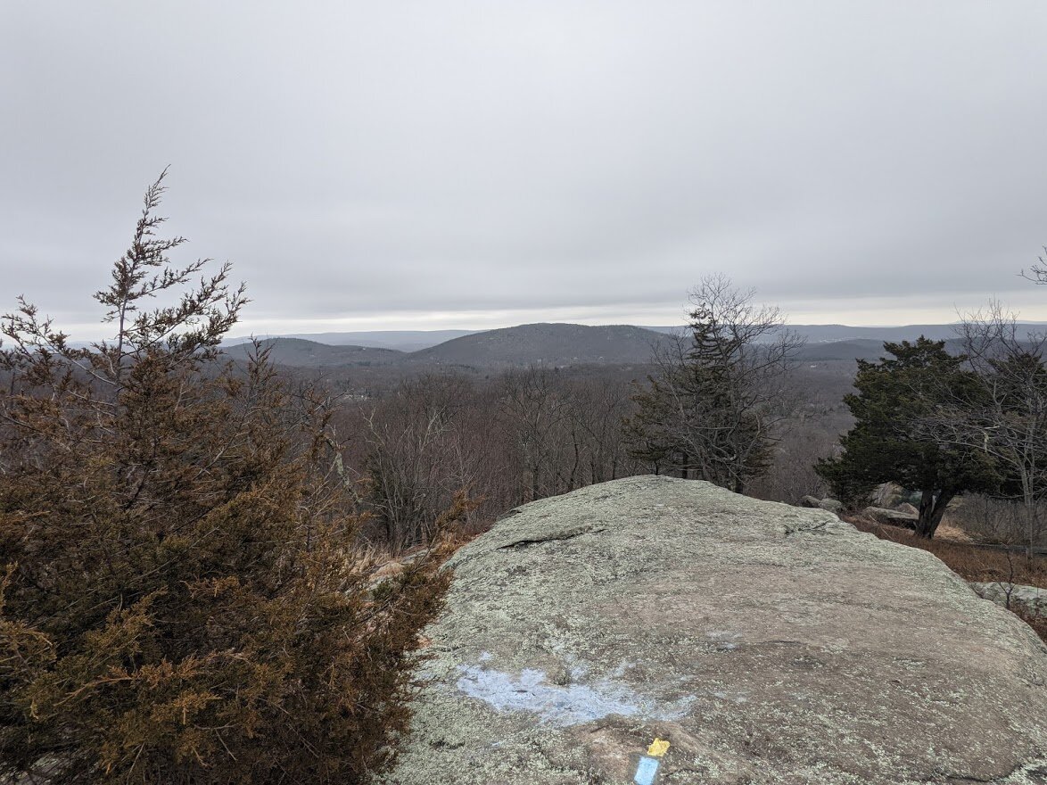
It is not a 360 degree view at the top, but it’s pretty fantastic. Fantastic enough for me to choose to climb it again a few days later. We’ll get to that in another post, though.
I didn’t use trekking poles for any of the ascent. I’m short, and I found there were a few times I needed to push and pull myself up rock because my legs were just a liiiiiittle bit too short to get a decent foothold. I did, however, use trekking poles on the first part of the decent where it was steepest. Because it was wet. And what did we conclude about wet rock?
The second time I climbed to the point I did not use my poles at all, and I was fine. If you’re like me and are an occasional pole user, bring them with you. You might have a need for them.
There is a poor, fluffy dog with territory issues on the back side of Mataticut Point. Poor thing barked at me for at least two miles. Long before I came into sight, and long after I’d gotten out of sight. He sounded hoarse.
After I got past Barkles (yeah, I named the dog Barkles… like Charles) I was feeling confident that I would complete the entire long loop. It was around 11 am when I reached the orange/yellow connector, and as I was standing there, looking at my paper map trying to decide the best course of action, I felt raindrops. I looked up. Rain drop to the eye!
Ok, Mother Nature. Point taken.
In order to highlight the connector on my map, I’d have to hike it at some point or another, so I did it today as I made my way back to my parked car.
When I got back to the Lake Sonoma side of the Manaticut Loop (yellow blaze), it was raining more heavily. By the time I got back to the spur trail, it was practically a deluge. I made the right choice by cutting my loop short. Even though the rain was coming down in sheets, I didn’t need a rain jacket or umbrella with the tree cover, despite that fact that the leaves hadn’t come in yet. Double bonus!
So here’s what the view looks like from Mataticut Point on a cloudy day. Not too dissimilar to what it looks like on a sunny day, actually. But you’ll get to see that for yourself in my next blog entry coming soon!
Norvin Green State Forest
Manaticut Point Loop (partial)
Total Mileage:
2.67 miles
Total Elevation:
991 feet

New this year: I decided this year to show my face. If you see me on the trail, say hello!

I was up and out much earlier than the previous visit. Because of the cloud cover, the sun wasn't casting deep shadows, and you can actually see the waterfall that is under the rock tower. Pretty cool huh?

The spur trail hasn't changed much since my Lake Sonoma entry. So I jumped ahead to the Manaticut Loop trail head. This time I headed left to the Point.
It was overcast, yes, but surprisingly not that chilly.

Does anyone know the name of this brook? I would love to be able to write about it with it's proper name rather than "unnamed brook". Anyway. You cross it. There are waterfalls.

Those are the falls. Hard to see in this picture. I have a better shot of them in the next photo.

I zoomed in so you could see the falls. See 'em falling??? lol. I think I'm hilarious.

I hope their love was worth the damage they caused the tree.

This is a cool place. No, really, it's cooler when you walk next to the rock. And it's a massive rock that you walk beside for quite some time.

I noticed lots of holes in the ground. I'm not sure what causes that but something is coming up out of the ground all over Norvin Green!

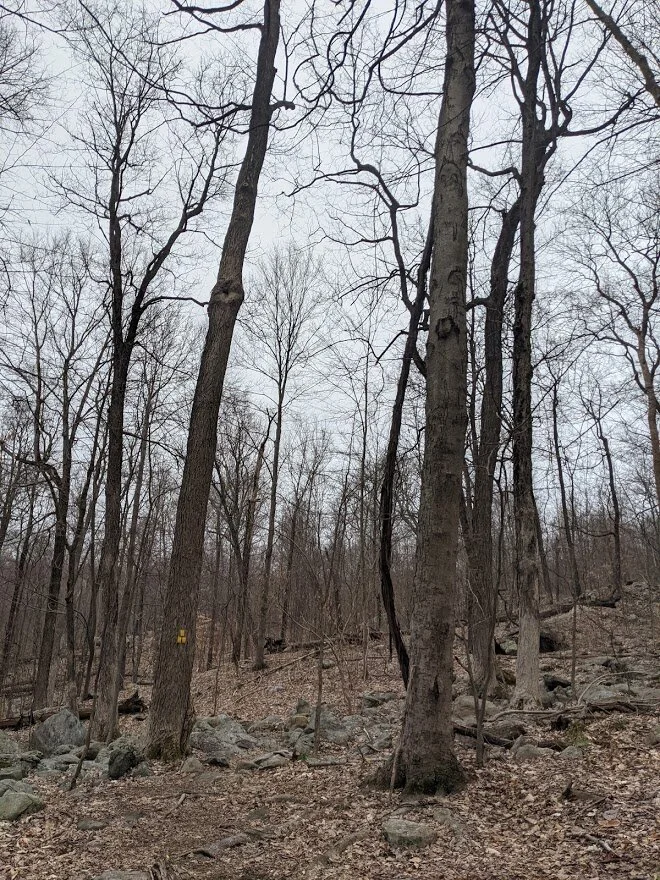
The walk in to the initial climb is really beautiful. It would be better when the forest is richly dressed in green, though.

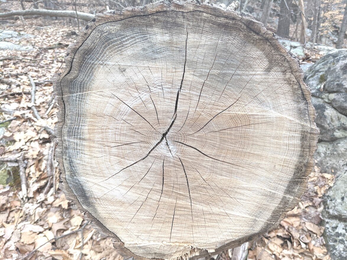
Thank you to the NYNJ Trail Conference maintenance crews! I'm very grateful that you clear the many blow downs along each and every trail!
I posted this picture on Instagram with this caption, "Try to hold them off... I'm going to make the calculations for the jump to lightspeed." ALL I COULD THINK OF WAS STAR WARS. Please tell me I'm not alone.
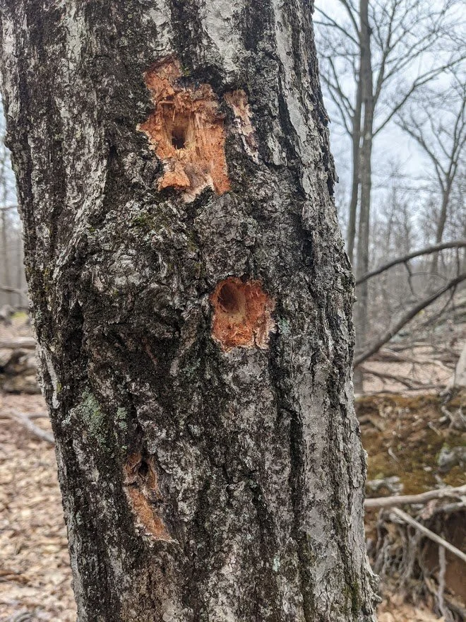
Woodpecker. Lookin' for food.

So, this is the spoiler view. It's about here that, unless you're a super human, you'll need to stop and catch your breath. And when you turn around, you're like "Oh! There's the view!" In the summer, the big reveal at the top of the point would be more gratifying, in my humblest of opinions, that is.

Remember how I said I had to do some hand over hand climbing? This would be that section. It's the last push to the Point. This picture is me looking up. In my next blog entry, you'll see a picture of this same spot at eye height. It's steep!

There's the view from Manaticut Point under cloud cover!

It is not a 360 degree view and you can only see a tiny portion of the NYC skyline, but you worked hard to get here. Stop and take this in!

From Manaticut Point.

Holy glorious view, even with dark clouds!

There are a lot of trees and shrubs at the top of this climb, so views are limited.

As soon as you get up, you head right back down. So it is with this loop. You've been warned. PS. This is the only section where I used my trekking poles and I was grateful I had them.
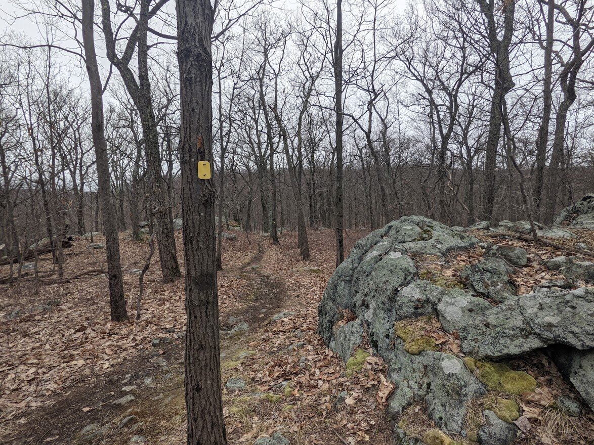
You can make pretty good time in this section. It's not very rugged and the ups and downs are small. The trail winds through the forest, and the dog didn't stop barking the entire time. I even heard him barking at some points on the orange/yellow connector.

Oh! And speaking of the orange/yellow connector! Here we are. This is where I started to feel earnest rain drops.

I really liked the connector. Normally the north/south trails in northern NJ are the worst. This one was really sweet and fun.

Sometimes meandering, sometimes climbing, sometimes descending on rock. But all of it short and sweet.

Over already? That's ok. It was raining. I decided if I was going to put on rain gear, I should do it here. But I didn't feel the need to.

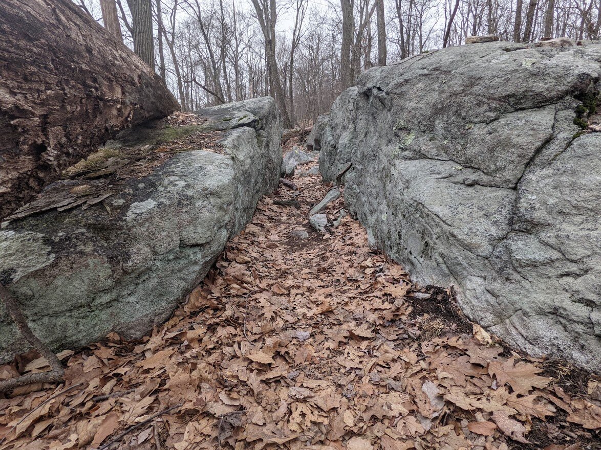
I keep my camera mostly in my pocket while I was finishing up my hike due to rain. But I couldn't resist when I saw how the trail was winding through the forest floor.

Back at Crescent Road and the big rock at the kiosk.

I love it's shapes and lines. Strong and sturdy, but elegant. Then I crossed the street to my car in pouring rain and went home!