
Highlight Hiker Blog
May 15, 2022
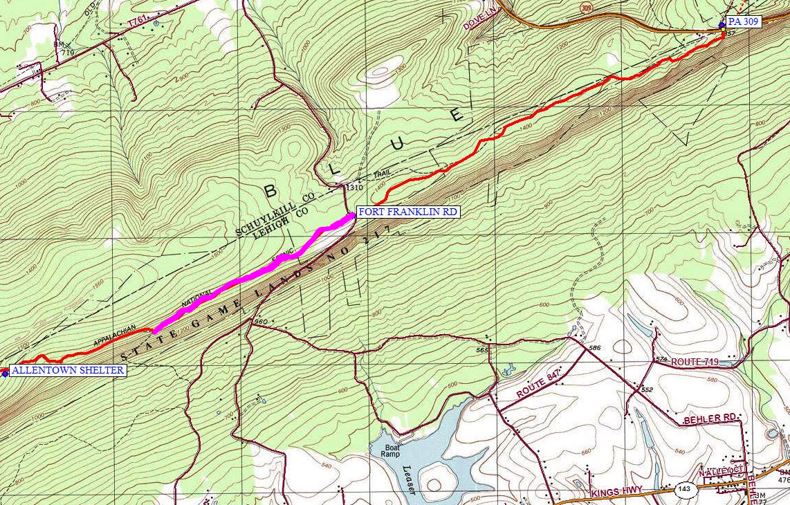
LeHigh County
Appalachian Trail
foot traffic only
Once again, it was a sunny, warm, beautiful spring day and the children wanted to play. And where did they want to play? Dorney Park & Wildwater Kingdom. Which is great for me: they are old enough to be independent around the park which means I get to go play, too! And by play I… uhhh… I mean hike.
I had a new trail map for this year - a National Geographic AT PA map. It was very exciting to use a new map with different colors and markers…. but I wasn’t crazy about its size. My NY/NJ TC maps are so compact and fold easily in any which way you like. The NG map was like a booklet and it couldn’t be stored in my fanny pack, back pocket or even the hip belt pocket of my backpack. So once I got to the parking lot, I picked a direction and just went with it.
I don’t know if it was the weather or the sun, the terrain or the fact that I was on the AT in P or what but I was in the ZONE! I was hiking so quickly that I surprised myself: 10 miles in one afternoon. IT must have been the terrain…. it was relatively flat and I wasn’t dodging rocks and trying not to twist an ankle. It was amazing. I seriously felt like I was flying. It reminded me a lot of how fast I was able to go in Colorado. Although in Colorado I was stopping to take pictures every 5th step, so really maybe not. Needless to say: it was a terrific feeling.
I parked on the ridgeline and just started to cruise. I thought I was headed nobo? But really I was sobo? Or vice versa. As I said before, I didn’t really utilize my map. I just picked a direction and went for it. I wasn’t able to make my intended destination, though. Around 4 or 5 miles in the kids called. Could I come pick them up in an hour?
… uhhhhhhhhhh…
So back in the zone and hiking those 4.5 or 5 miles as fast as I possibly could back to the car. It was a little more than an hour. Ok, by the time I hiked back to the lot and drove to Dorney it was a lot more than an hour. BUT I DID IT. So there’s that. That’s the only trouble with making the hike the secondary event of the day: mot of the time I can’t quite finish my action plan because the kids want me to come pick them up early.
But, I mean, who cares! I was out and was ably using my two legs on the AT! Life is good!
Oh - and I’ll finish up by saying that through using the NG map on more occasions since this and I’ve come to realize it is not reliable. The distances are inaccurate. I’m still holding out using an app like Far Out but those days might be coming soon.
LEHIGH COUNTY
APPALACHIAN TRAIL

The parking lot is big enough for 10 cars, at least, though I have never seen it actually full

Lots of room for lots of cars
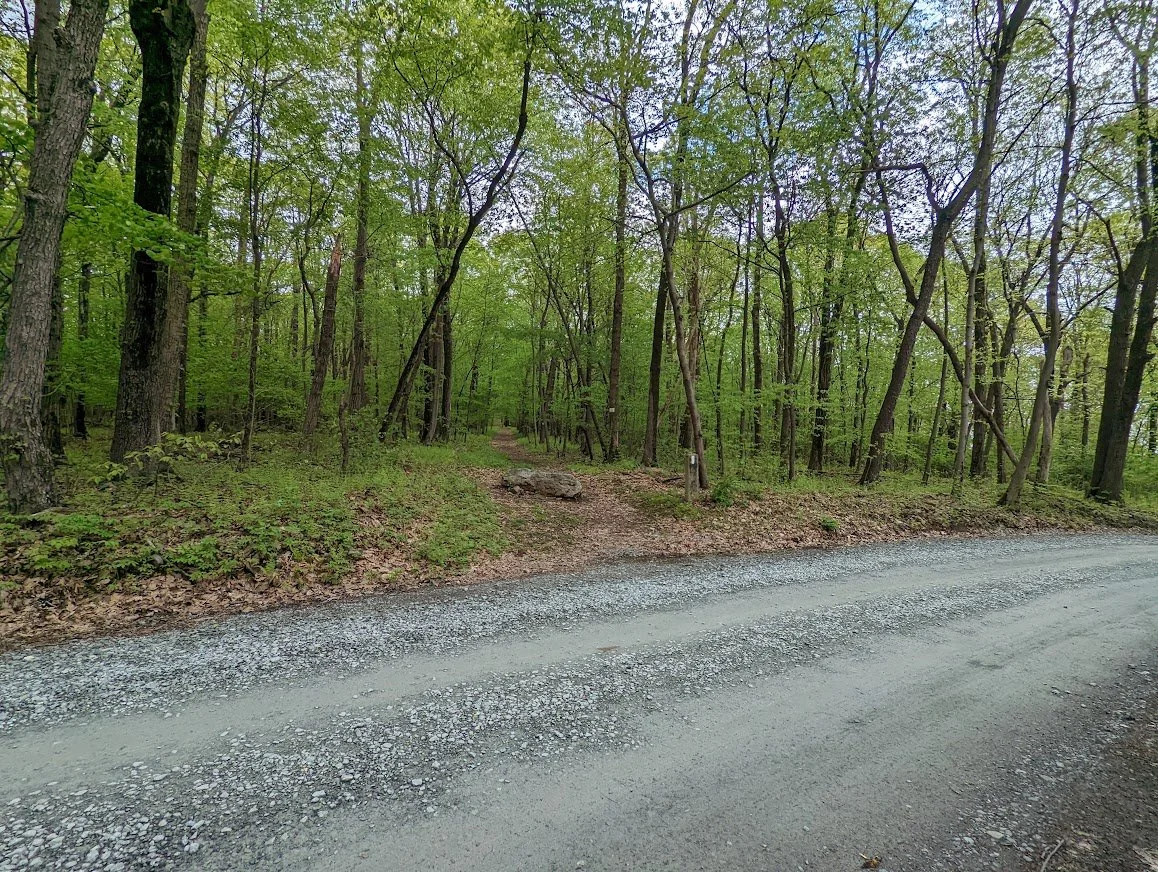
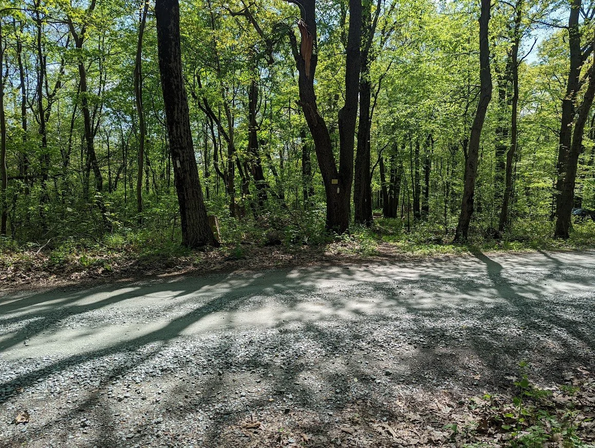
The AT crosses the road, and road crossings are always fun

These border markers for Schuylkill are interesting and quite old, it would seem. The name "Schuylkill" means "hidden river" and was bestowed on this area in the early 1600's by Dutch settlers

Stealth campsite. At first I thought I could take pics for each campsite, but there were just too many in the 5 miles I walked to bother

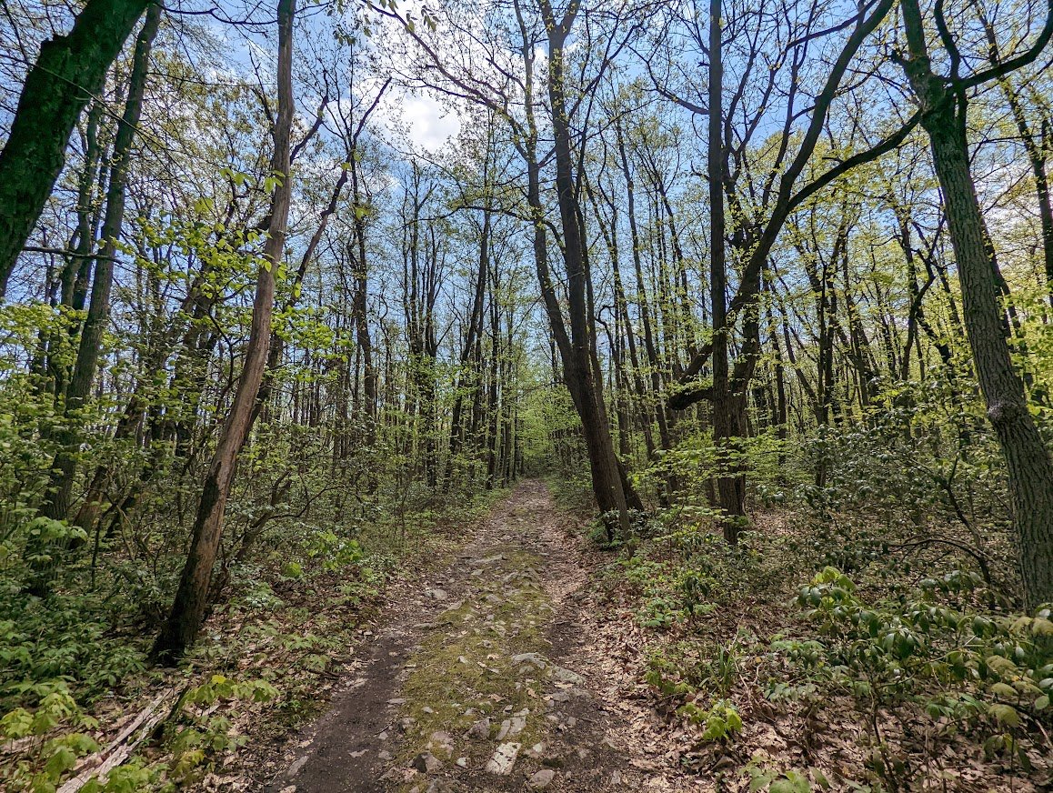
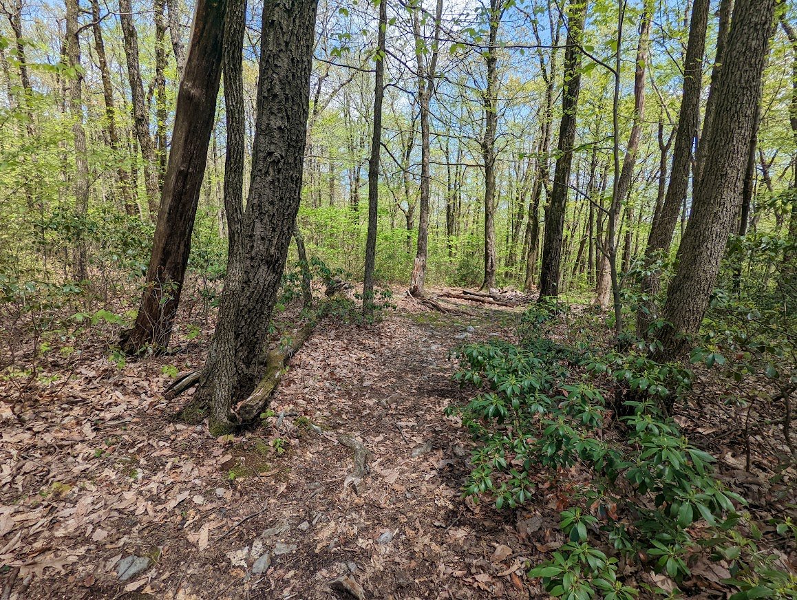
Once the trees sprout, the AT in PA is truly a green tunnel with very few lookout points along the way

The trail is relatively flat and the terrain is fairly easy as it weaves through the forest

That's a lot of fresh bear scat

The trail here opens and closes from single track to double wide to carriage road width

The vibrancy of colors in PA never really changes from spring to fall

Skinny trees clogging the sky for their opportunity to touch the sun

And the fern forests grow as high and thick as the trees above will allow

Walking two by two is easy through some sections here in PA

It looks like this a lot in Lehigh County on the AT
Another large stealth campsite

This one is near a field brimming with birds

It's a nice flat camping area with a pretty trail leading you back to the AT

The ferns seem to be growing in perfect little rows, as though someone planted them that way purposefully

There are some side trails that will take you to the road, but be prepared for a steep downhill climb to get there

This little section butts up against a restaurant that may or may not also have rooms for rent

Road crossings are always fun!

This one is very buys, though, and the speed limit is 55

Lots of road means lots of traffic and noise

Back into the wilderness

There is a turn off type parking area at the road crossing - enough to only fit one or two cars. This side trail leads to that area

The trees in PA are stunning

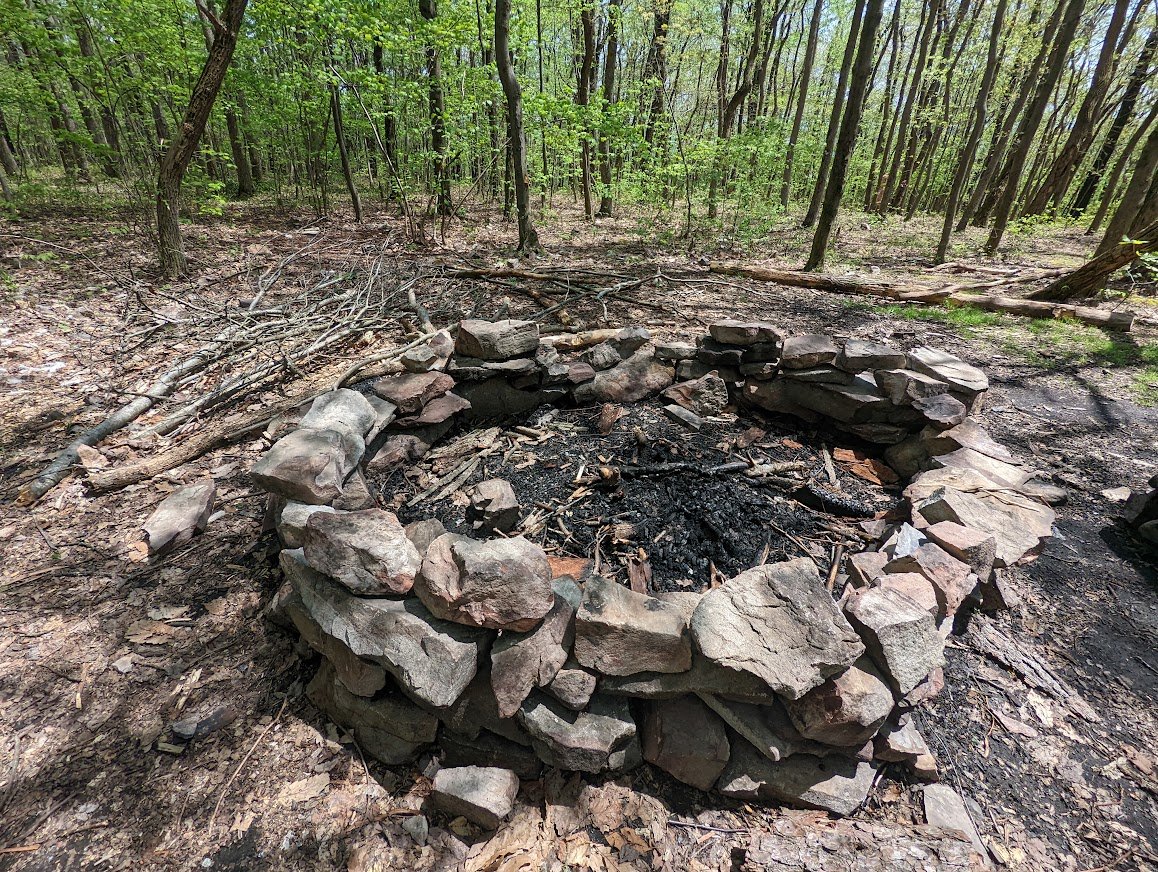
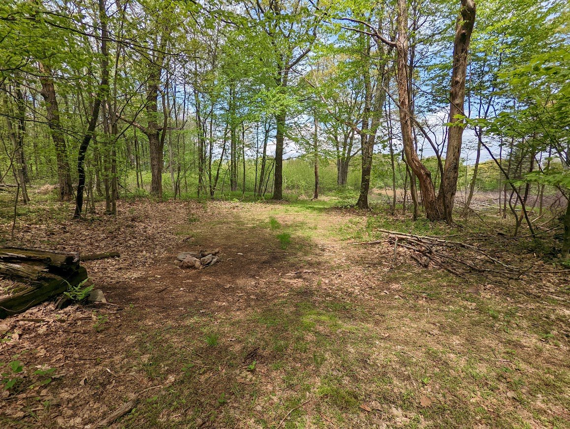
There is a very large campsite tucked away with make shift rock chairs and a huge firepit

If I were hiking the AT, I would want to stay here. Flat, clean of debris and comfortable

With a huge firepit!

A small side trail leads to water: possibly a spring
Lots of little trails to explore around the campsite

Meanwhile, back on the AT

This was as far as I got. This is where the call came in to pick up the kids.

It wasn't the view I was hoping to get to, but it was a nice view anyway.

Such lovely farmland below, framed with blue sky and green tunnel

How it actually looks to the naked eye...

I didn't take so many pictures on the way back. Every now and again I'd stop to capture something but in reality I was moving as quickly as humanly possible

The placement of the sun int eh sky changes the color and demeanor of the forest

I loved this big, beautiful tree that has secured its place directly on the trail

Because hunting is allowed along this corridor of the AT it is very important to wear blazer orange when traveling on the trail in the fall hunting season

This black rat snake was shaking his tail against the leaves in a defensive position. Black at snakes are not poisonous but they will posture like a timber rattlesnake to (effectively) get you away!
9.9 total miles later - and back at the road crossing by my parked car. Until later, AT!