
Where am I going?

Highlight Hiker Blog
April 14, 2021
Norvin State Forest
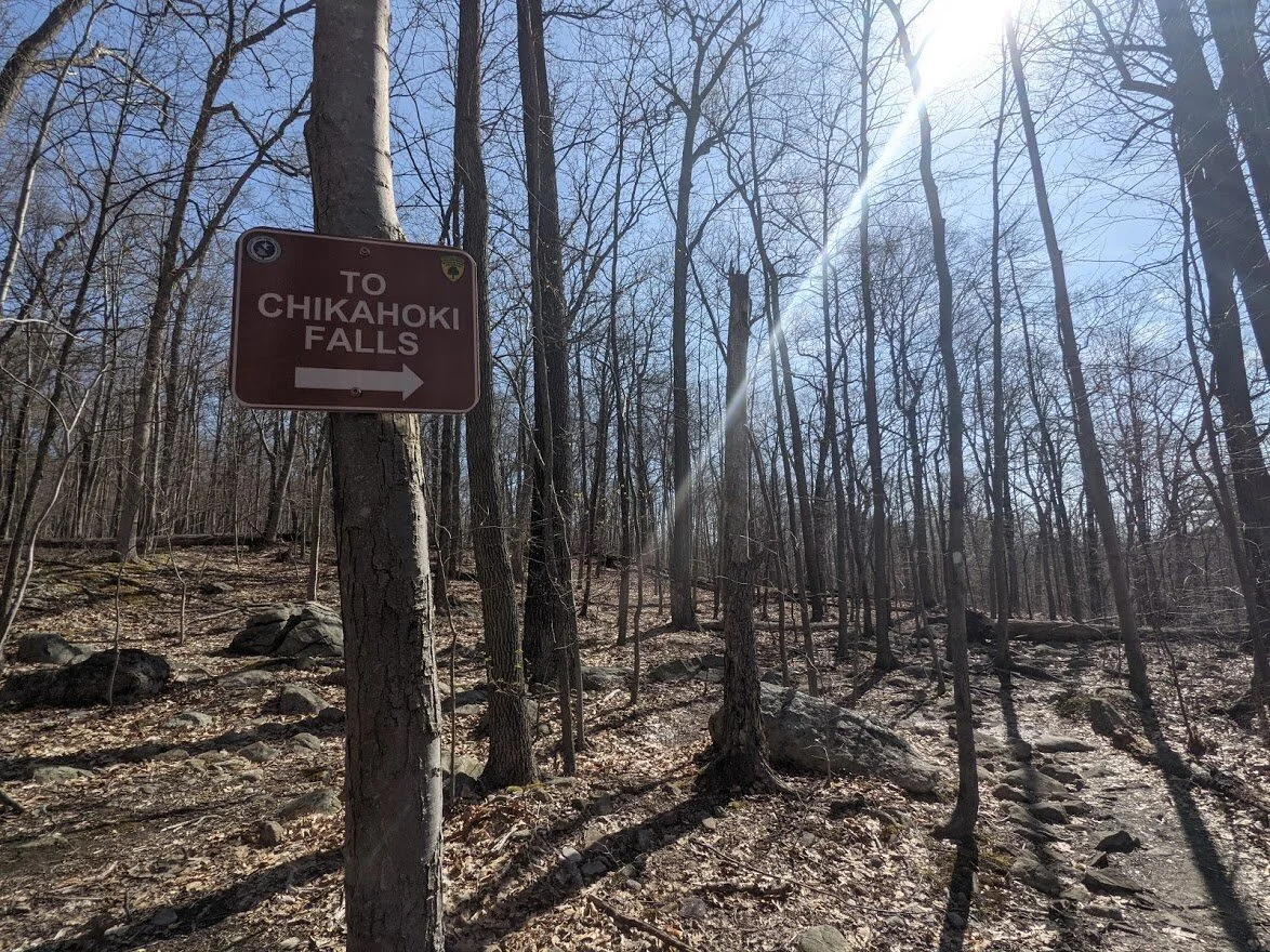
Chikahoki Falls, Posts Brook Trail
There isn’t much that frightens me in the wilderness.
I grew up in rural Michigan where anyone who had ever gone on vacation went camping in a state park. And there are plenty of state and national parks to choose from in Michigan. It was natural to be outdoors when you had free time. When I was still but a wee babe in a car seat my parents took me camping for the first time in Kentucky. That was where I decided to contract the chicken pox, as the story goes. Lucky me. But I don’t remember it so YEAH! Lucky me!
But I digress…
I’ve seen my share of terrifying and powerful things in the forest… bears, rattlesnakes, recluse spider, self serving humans… but the one thing that makes me feel uneasy are waterfalls. I mean, yes, they are beautiful at a touristy distance and I’ve seen plenty: the Tequammanons, Niagara, Brandywine, Cumberland… but I’ve never grown accustomed to their intensity. Something about a waterfall makes me apprehensive. In all probability I’m made anxious by the lack of control that I would have were I trapped in rushing, roaring water as it spills and cascades, forcing itself and whatever is trapped in its grip under the pool beneath. They start as an innocent little trickle but their energy winds up to a climax that acts as a potent punch. That’s the power of the waterfall.
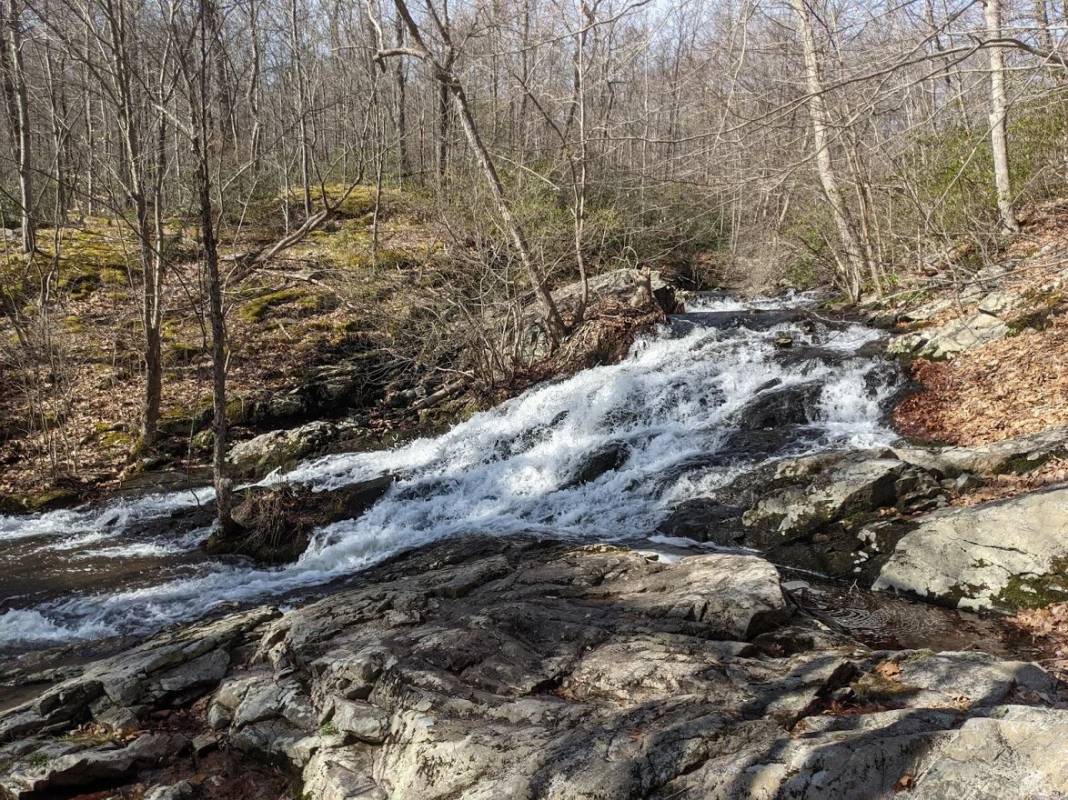
That’s the power of the Chikahoki.
Now, now… before you grab your backpack and head out... let me finish. You’ll be disappointed if you think that the Chikahoki Falls are on the same size and scope of any of the waterfalls listed above. No, it’s pretty small in terms of waterfalls, but it is nonetheless mighty. Plus, you can stand at the top of it and look down which… yikes… is not my thing (Highlight shivers). I did it for you, dear reader, but only with a lot of deep breathing, coaxing and =ahem= there may or may not have been some cursing involved.
There are upper and lower falls on Posts Brook. The upper falls are the kind I adore - y’know the kind that gently, gracefully surrender to gravity. The main falls you can hear more than a half mile away and they sound like an airplane dropping its landing gear. So yeah, pretty intense.
The trail, however, skirts the side of Chikahoki Falls, so you won’t get that million dollar view. There currently are no marked trails that lead to the opposite side of Posts Brook to get full view of the falls.
Nonetheless it is awe inspiring to stand next to them, above them, and watch the water grow in vivacity as you walk downstream toward the final crescendo at Chikahoki Falls.
Many folks will make a spectacular day when they come here: hiking first to the falls, then taking the Highlands Trail (teal blaze) to the top of Carris Hill for the views. I uhhh… I didn’t do that. Because as you know I’m not hiking for the views, I’m hiking to see all of the trails on the NY/NJ TC maps. My original plan was to park on Glenwild Ave., take the Wyanokie Crest (yellow blaze) to the Highlands Trail (teal blaze) to the Posts Brook trail (white blaze) all the way to where it ends at Doty Road. Problem was, Posts Brook was flooded not far past the falls due to heavy rainfall earlier in the week. That’s ok… I mean, I wanted to go after a heavy rainfall to see the falls, but it just meant altering my route and making a plan to return so I can complete the entire Posts Brook trail.
So yeah: BONUS TRAIL!!!
I had to complete a teensy weensy piece of trail over by Monks Mountain, so after I got back to the car I drove north and hiked halfway around Monks Mountain, took a gander at Winston Mine and then pushed on to the Highlands Meadow Property.
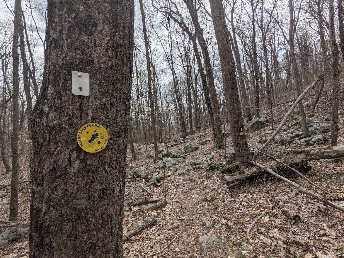
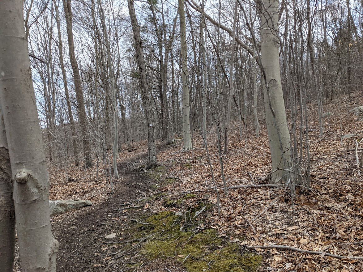
I like the Passaic River Coalition, please don’t get me wrong, I think they offer a great service to the community, but I was really confused by this property. There were numbered markers all along the trail, but no corresponding information either at the site or online to tell me what I was looking at. And the trail was, in certain places, very unkempt. Come summer, the prickly underbrush might scrape a few legs if it isn’t trimmed back. I’m also a little uncertain as to who actually maintains this tiny loop trail, be it the PRC or NY/NJ Trail Conference.
While this lovely little trail has the potential to be a great place for families with young children to explore local history, it’s very vague and frankly, a little creepy. There were sections where I felt like I might be trespassing on private property. As it stands, I would recommend Ringwood Manor or the NJ Botanical Gardens as a better place for families looking for an outing in the vicinity. Still, I’ve included the Passaic River Coalition’s website in my “Explore It” button, since I think the mission of the organization is important for the preservation of our waterways and the delicate ecosystems that thrive around it.
Norvin Green State Forest
Chikahoki Falls and Posts Brook Trail

Total Mileage:
3.02 miles
Total Elevation:
807 feet

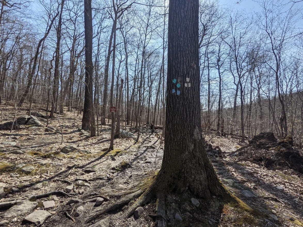
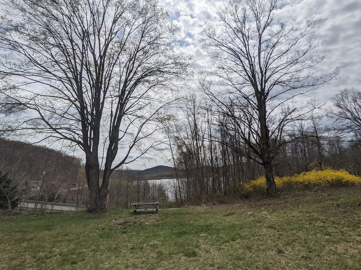
Well, here we are again. Leaving the parking area from Glenwild Ave on the crazy terrain that is Wyanokie Crest (yellow blaze).
Even though I was prepared for higher water marks, Posts Brook was very wide and a bit more challenging to cross.
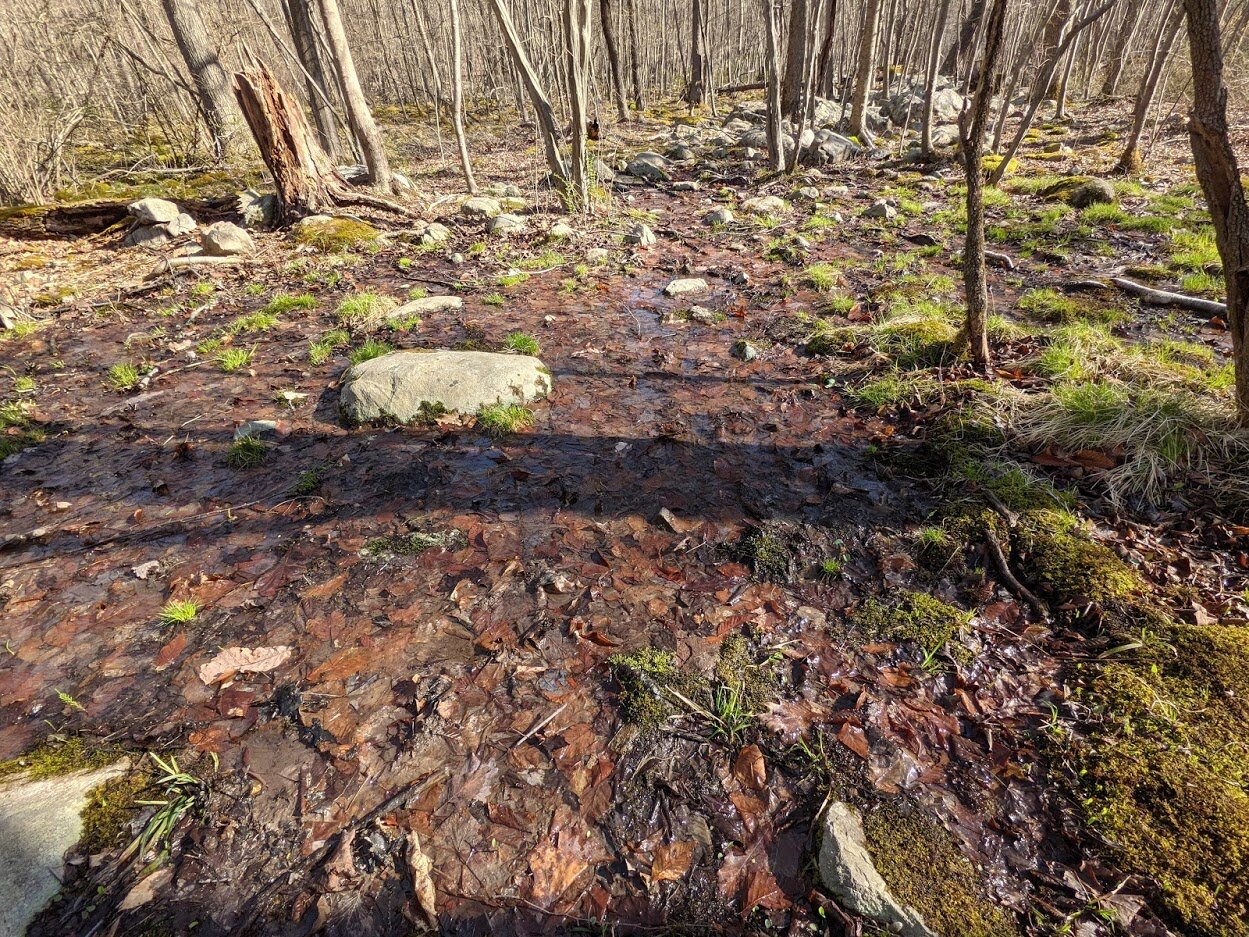
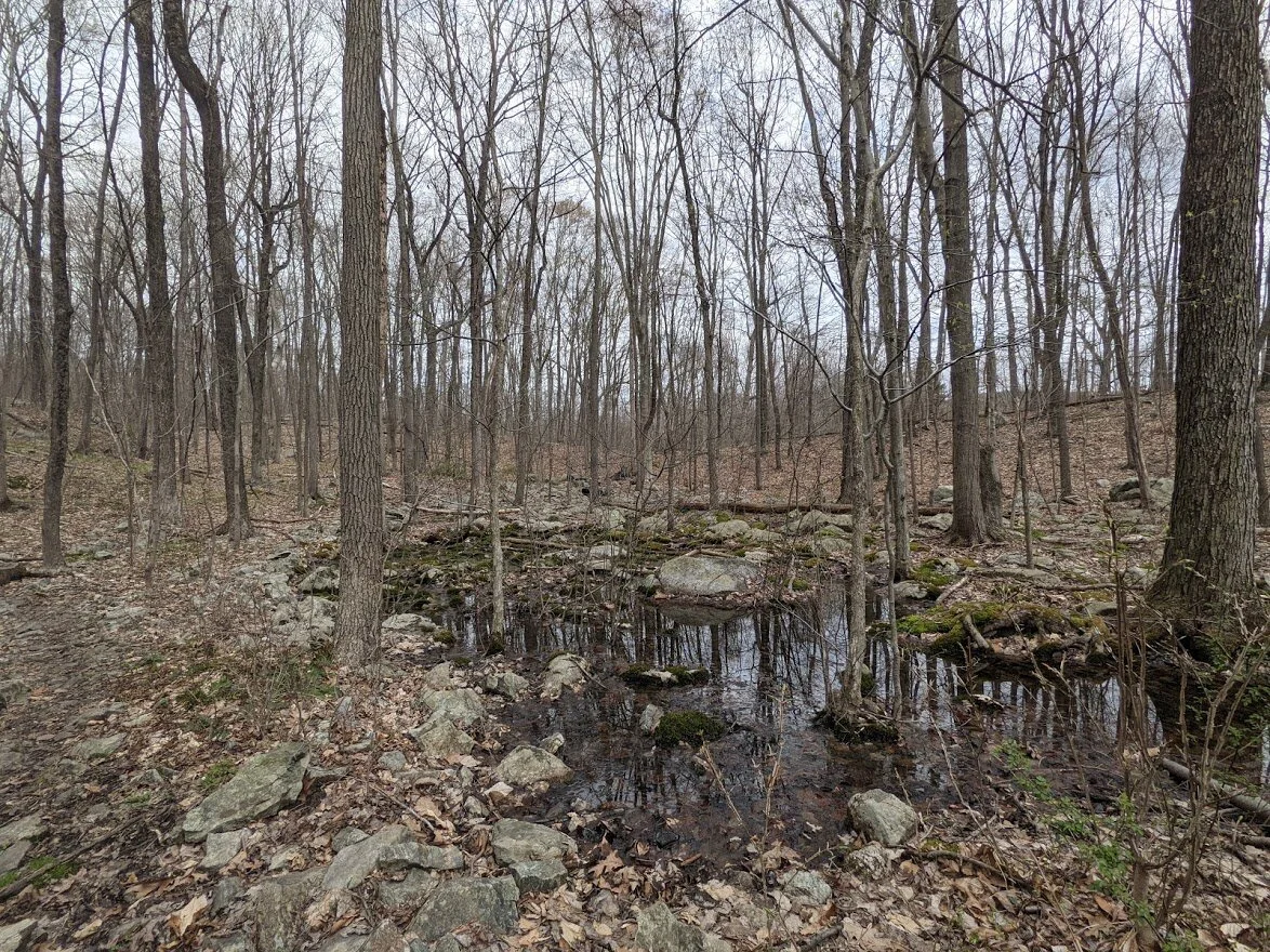
There had been more rain since my last visit and much of the trail had flooded.

I used my Montem trekking poles to keep my balance on the submerged rocks.
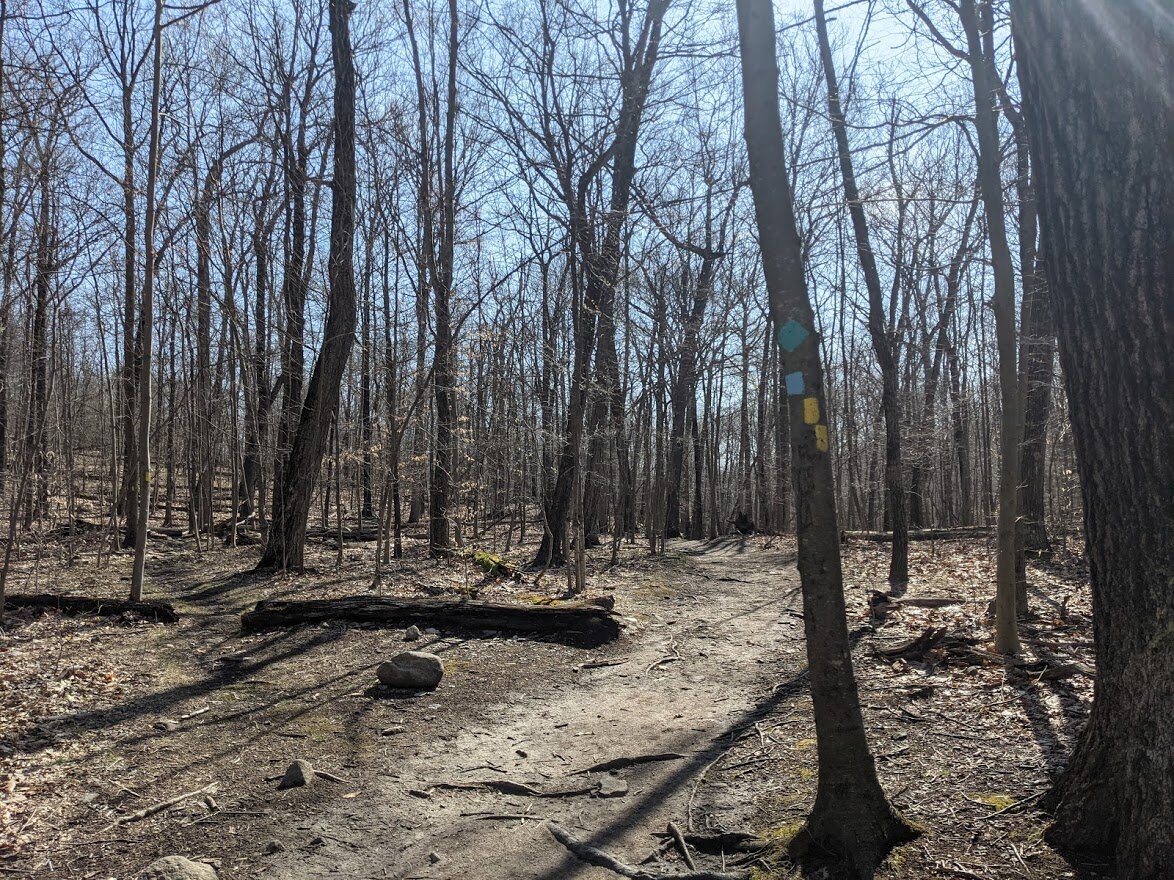
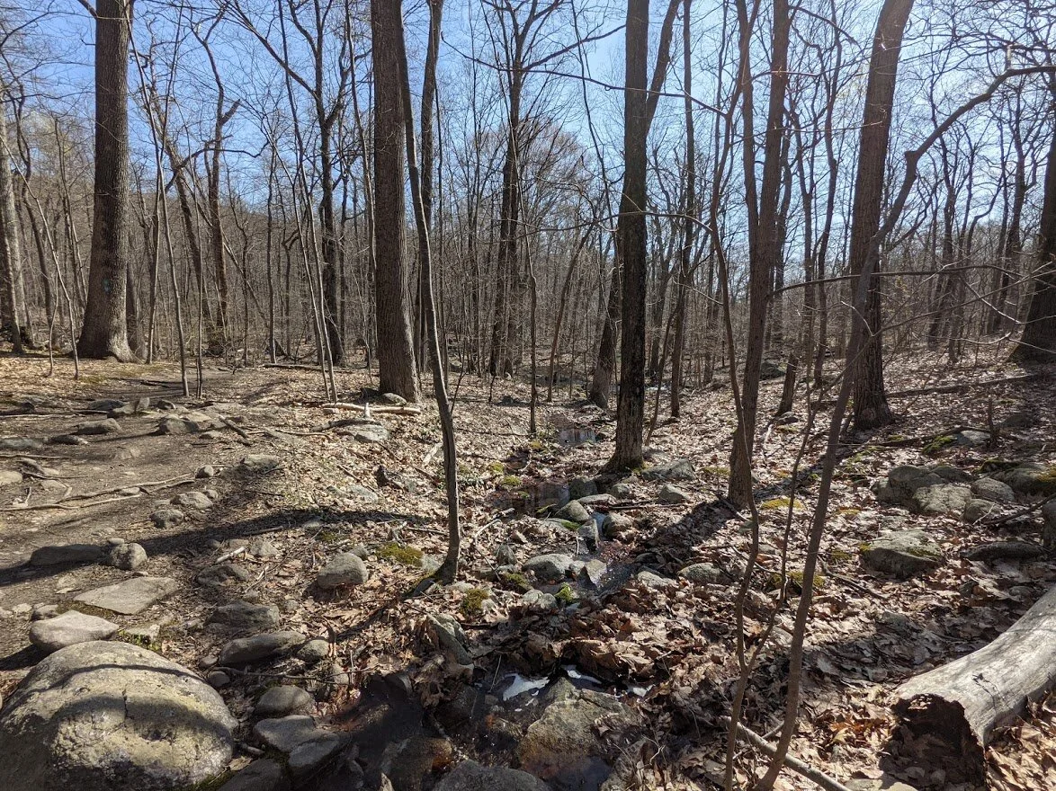
Having crossed the brook, I followed the wide and highly used Highlands Trail.

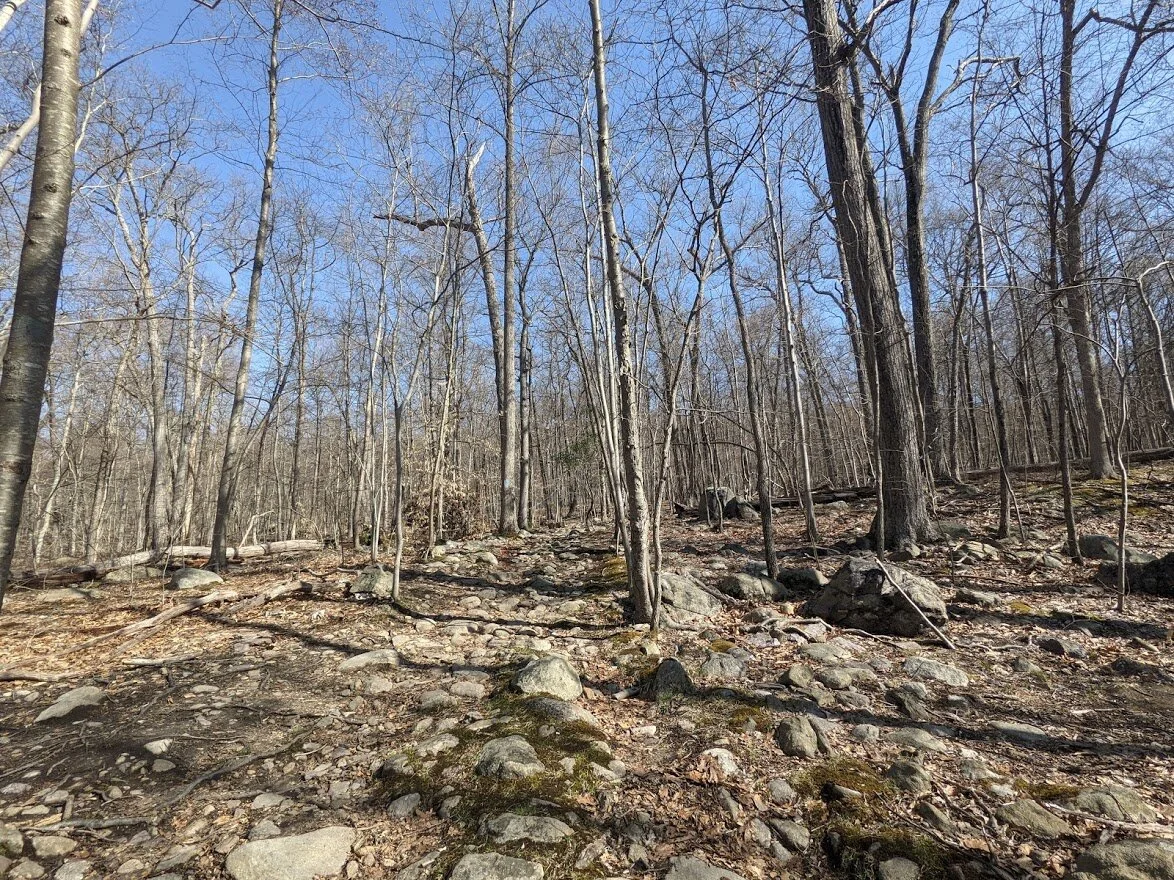
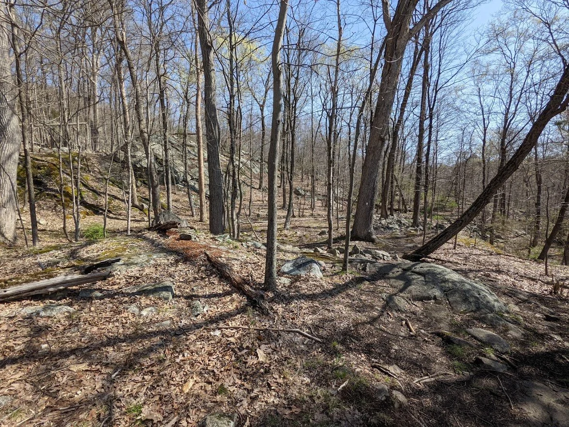
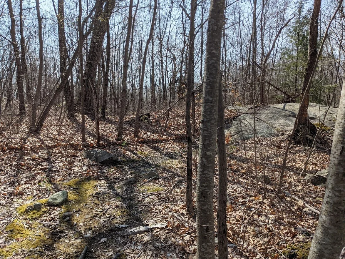
The terrain is easy and caused by erosion due to overuse.
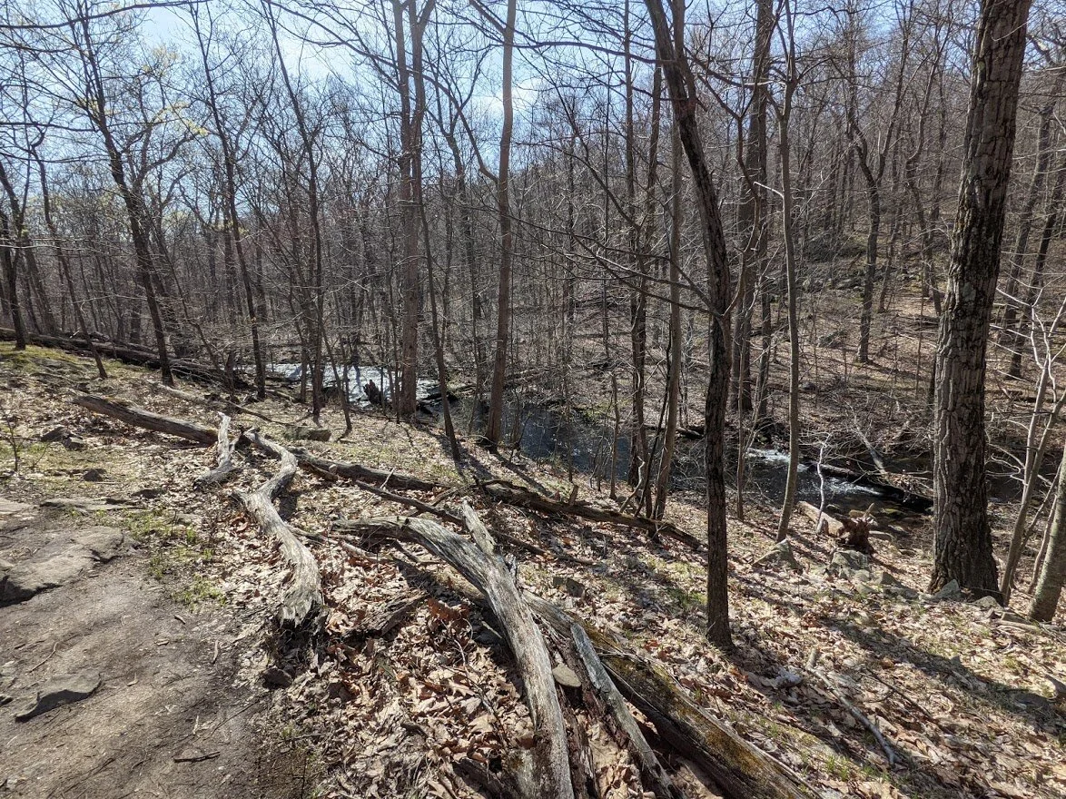
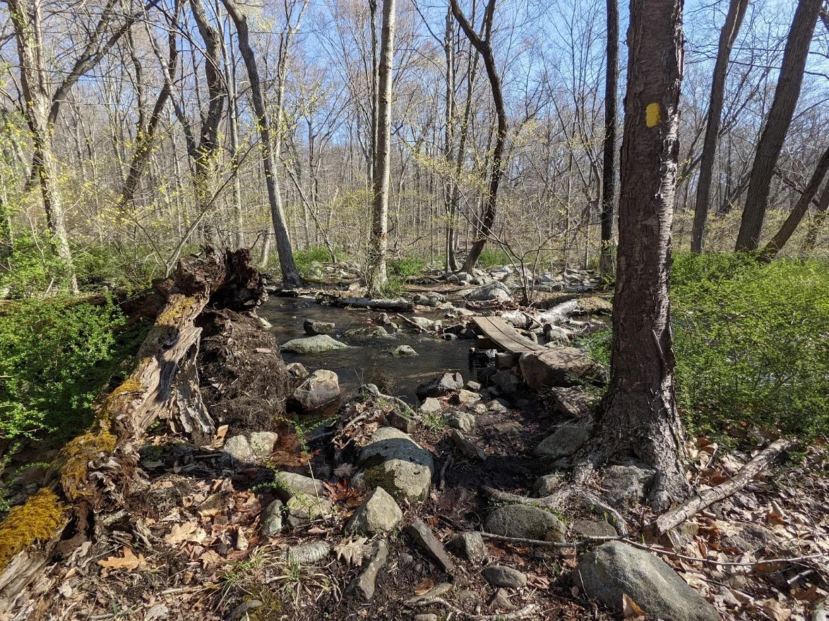
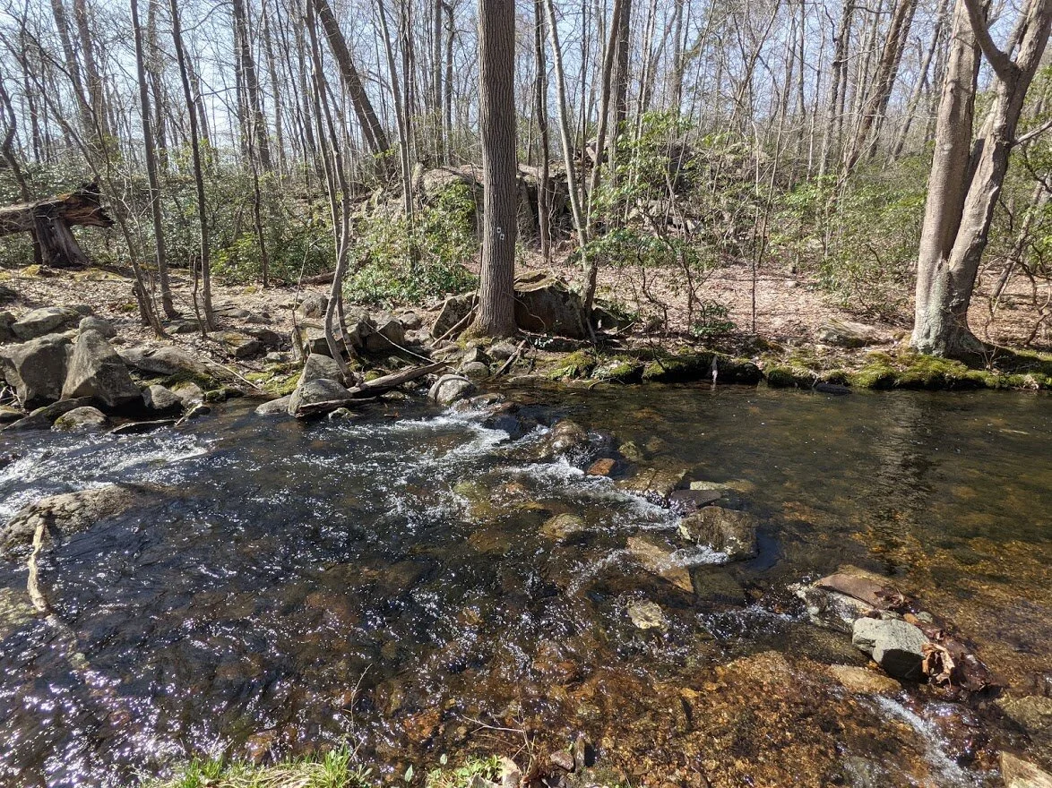
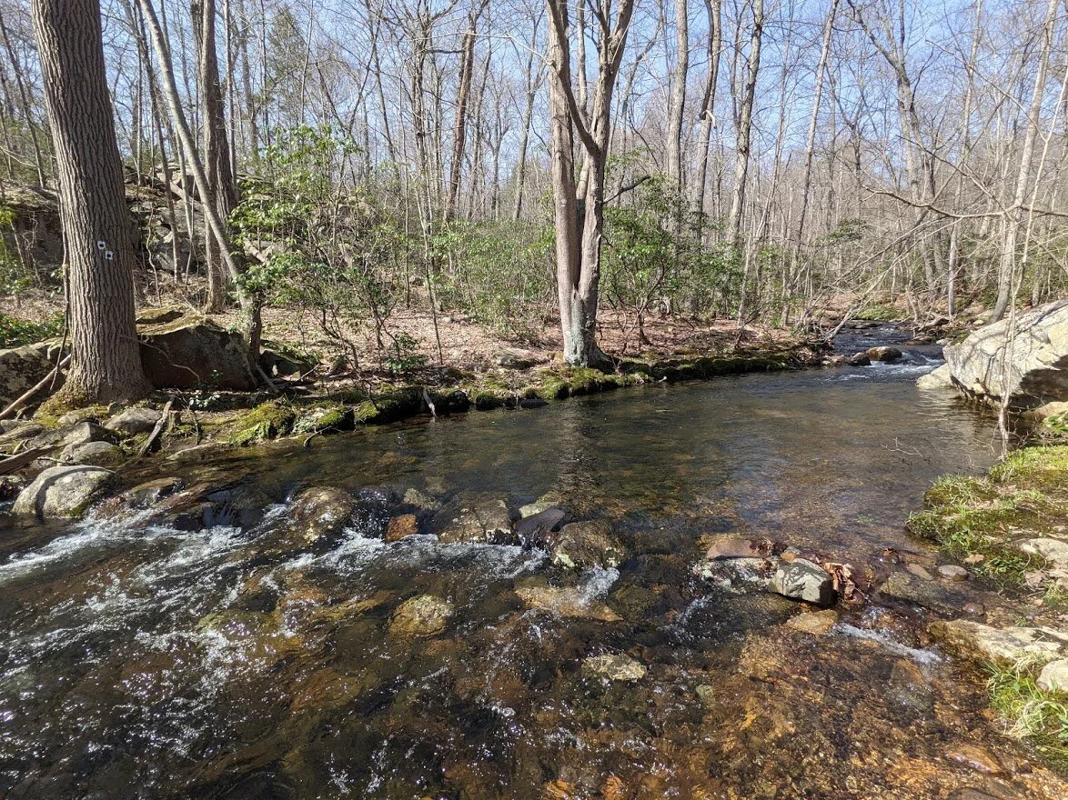
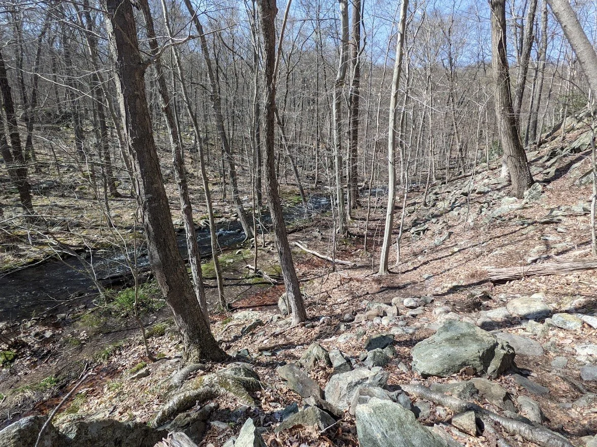
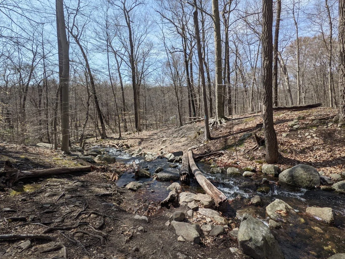
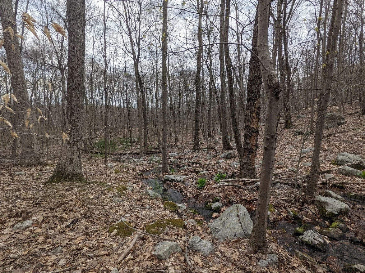
Posts Brooks gets wider and wider as you follow it downstream.
The flooding was everywhere, both on trail and off.
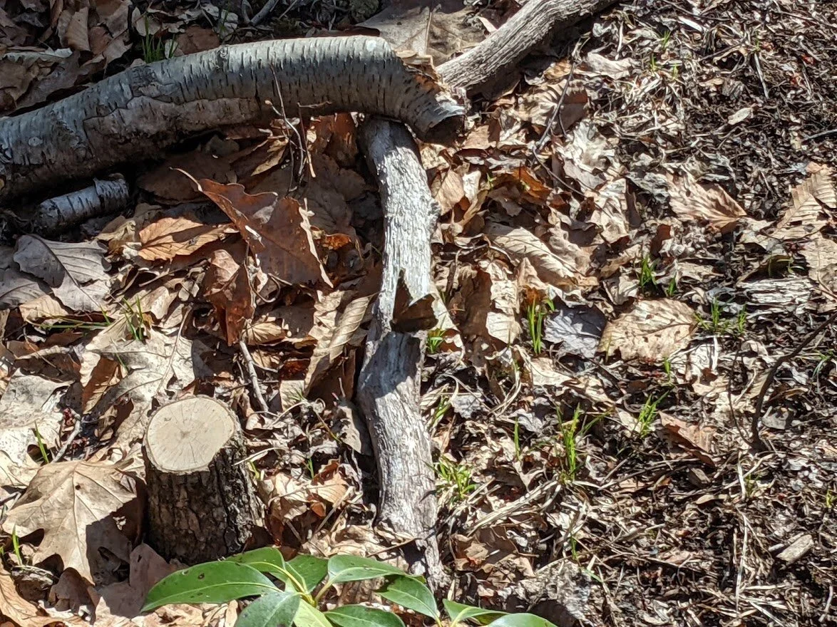
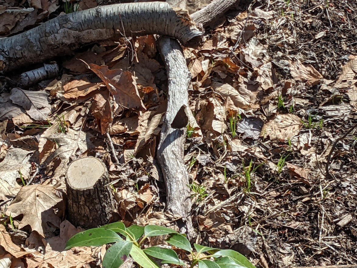
These little seasonal waterways dotted the landscape throughout the hike.
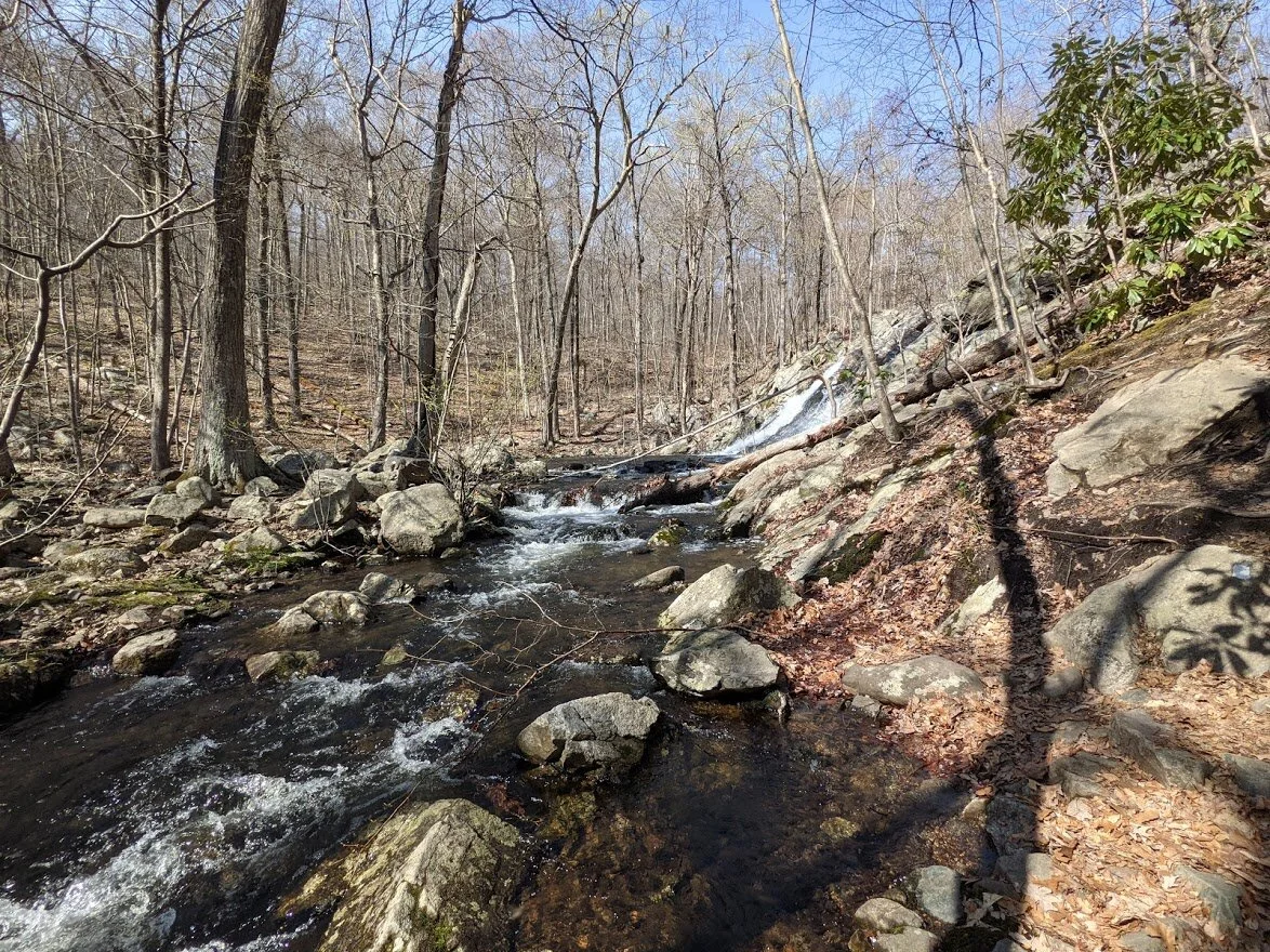
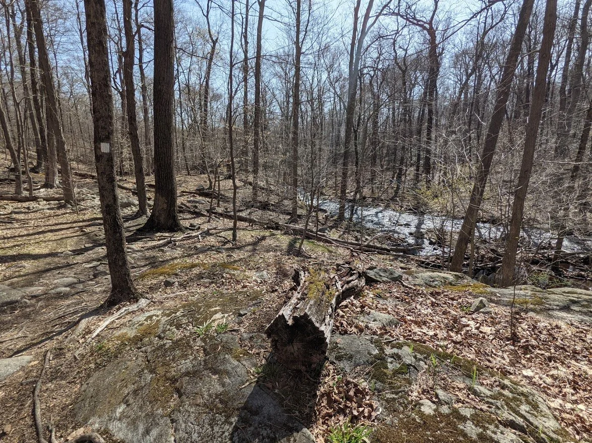
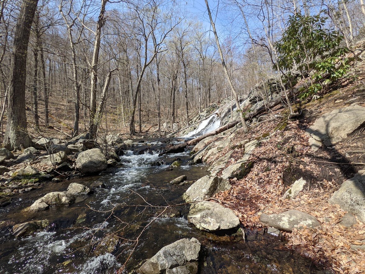
Off in the distance, you can clearly see Posts Brook as it begins cascading and building momentum.
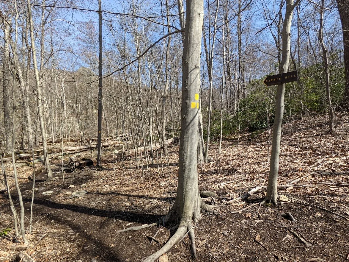
Were you to head north on the Highlands (teal blaze) you would head up toward Carris Hill and the Wyanokie Crest Circular trail (yellow blaze). I continued on the Posts Brook trail (white blaze).
The Highlands begins its long slow climb toward the pinnacle of Carris Hill right off the bat.
But the Chikahoki Falls route does not! While there is very little elevation, the terrain gets increasingly more challenging as the trail goes on.
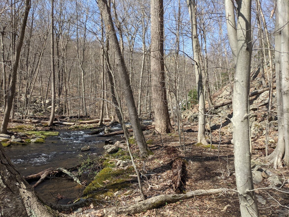
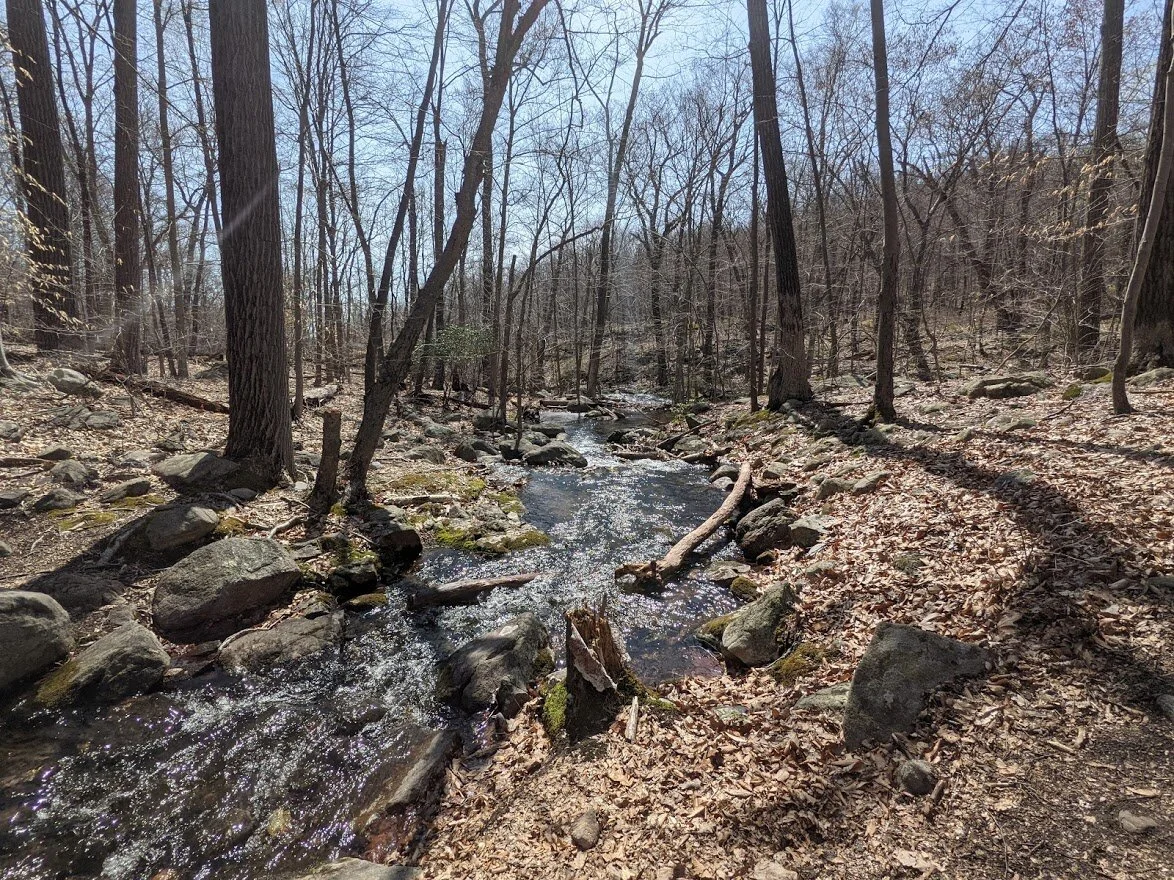
The upper falls are really pretty... I could soak my feet in the pools if I had a mind to.

The upper falls have a lot of rock where you can stop and admire the view, but you have to go off trail to get to it.
In addition to rushing water, this area was also filled with butterflies!
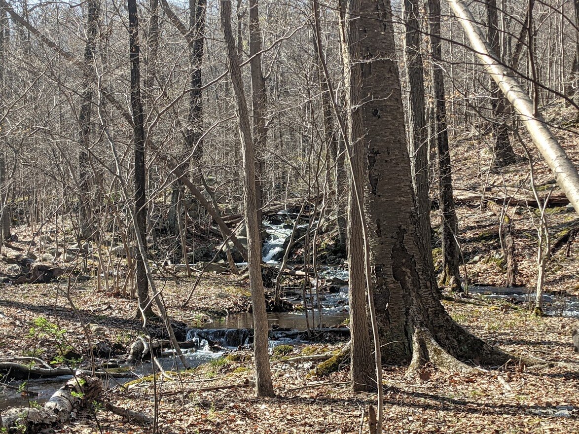
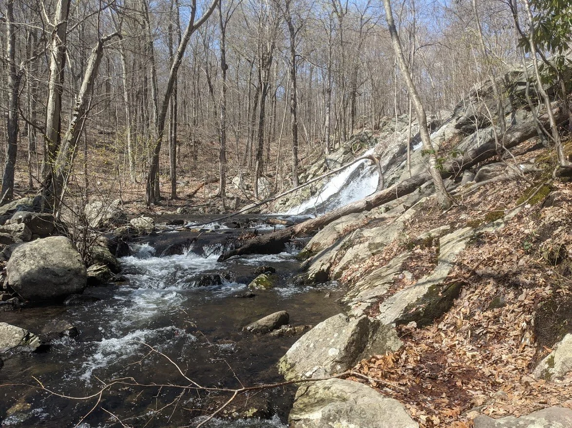
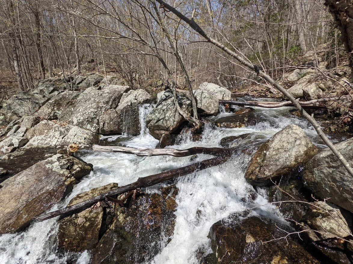
The water picks up a lot of speed at the upper falls as it continues its journey downstream.
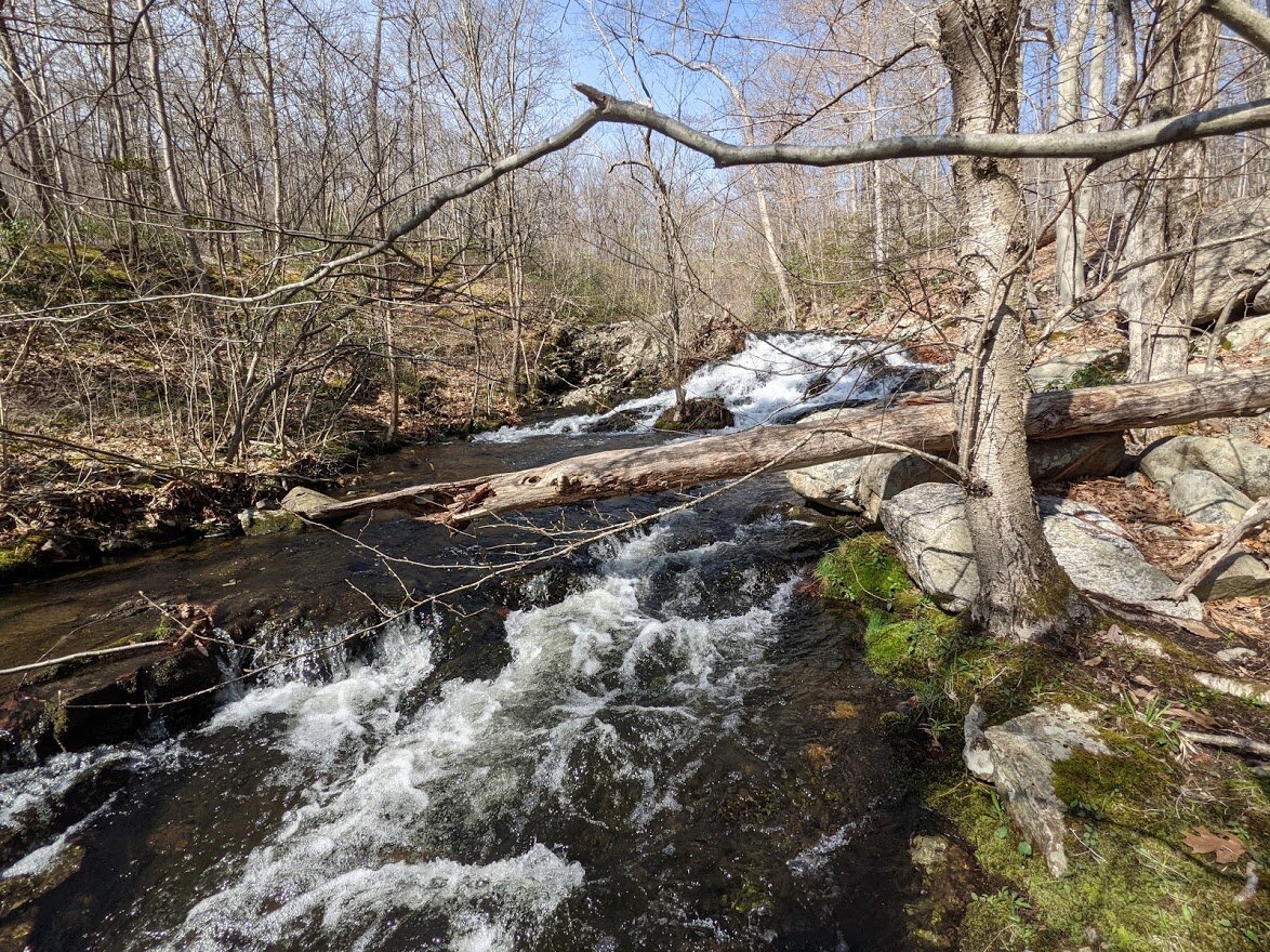
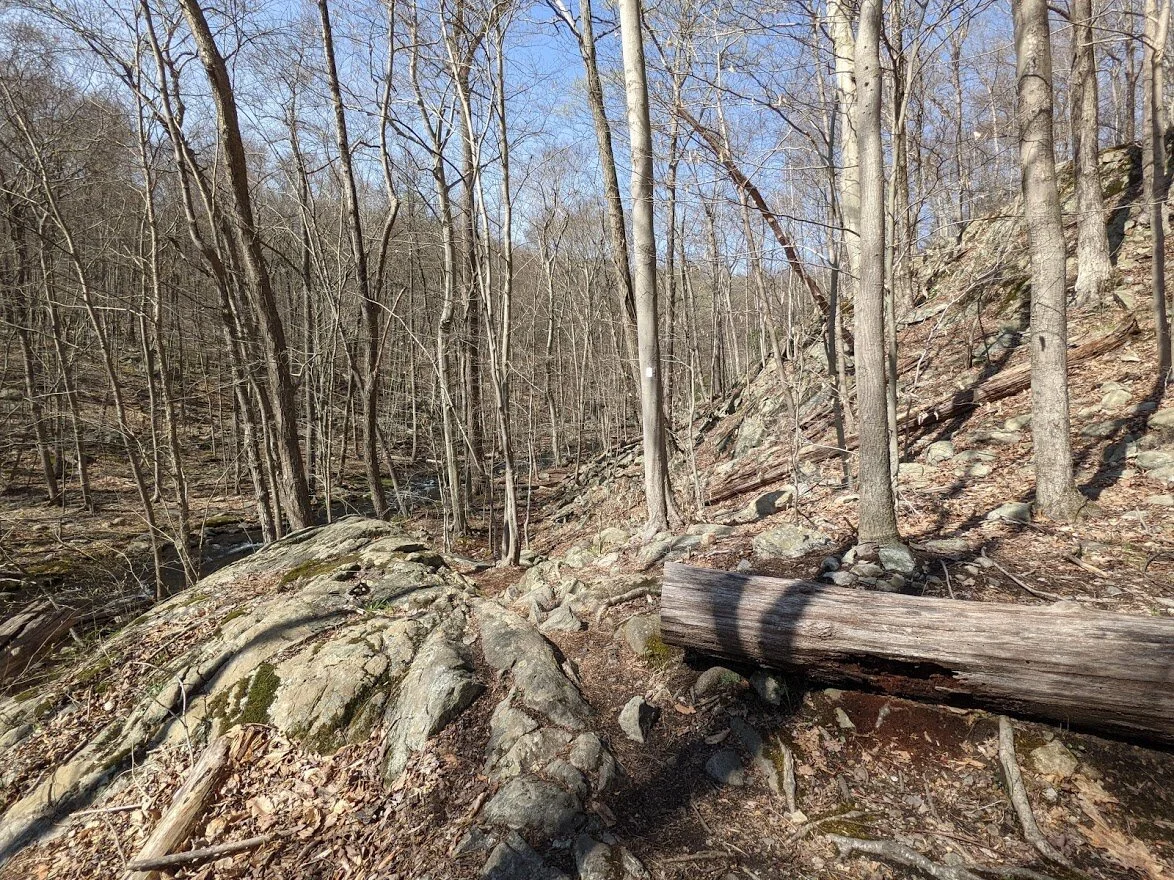
The blow down does obscure the view from a distance, but in person it enhances the wildness of the brook.

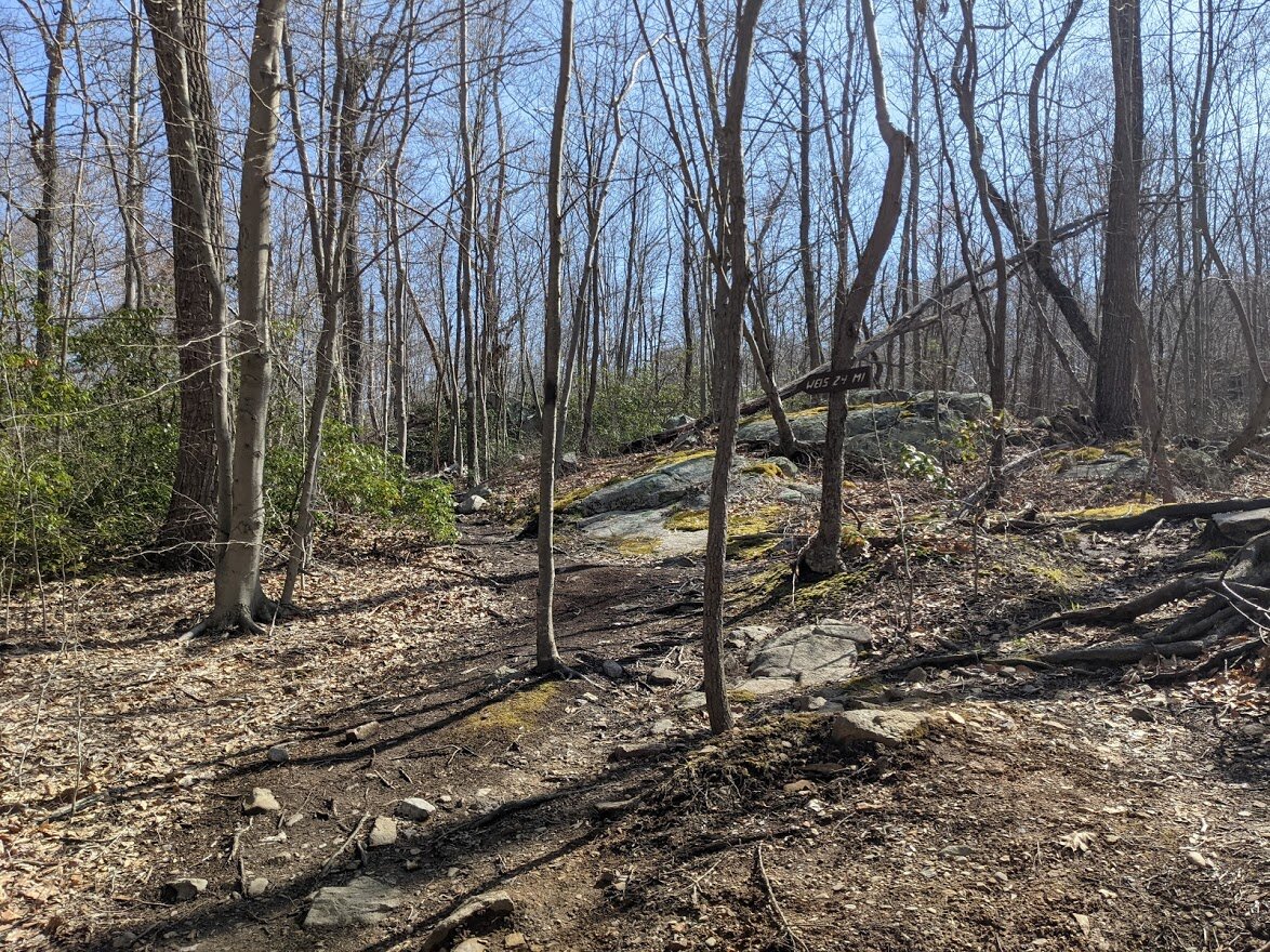
The path continues on, weaving in and out of trees and boulders on the side of Posts Brook.
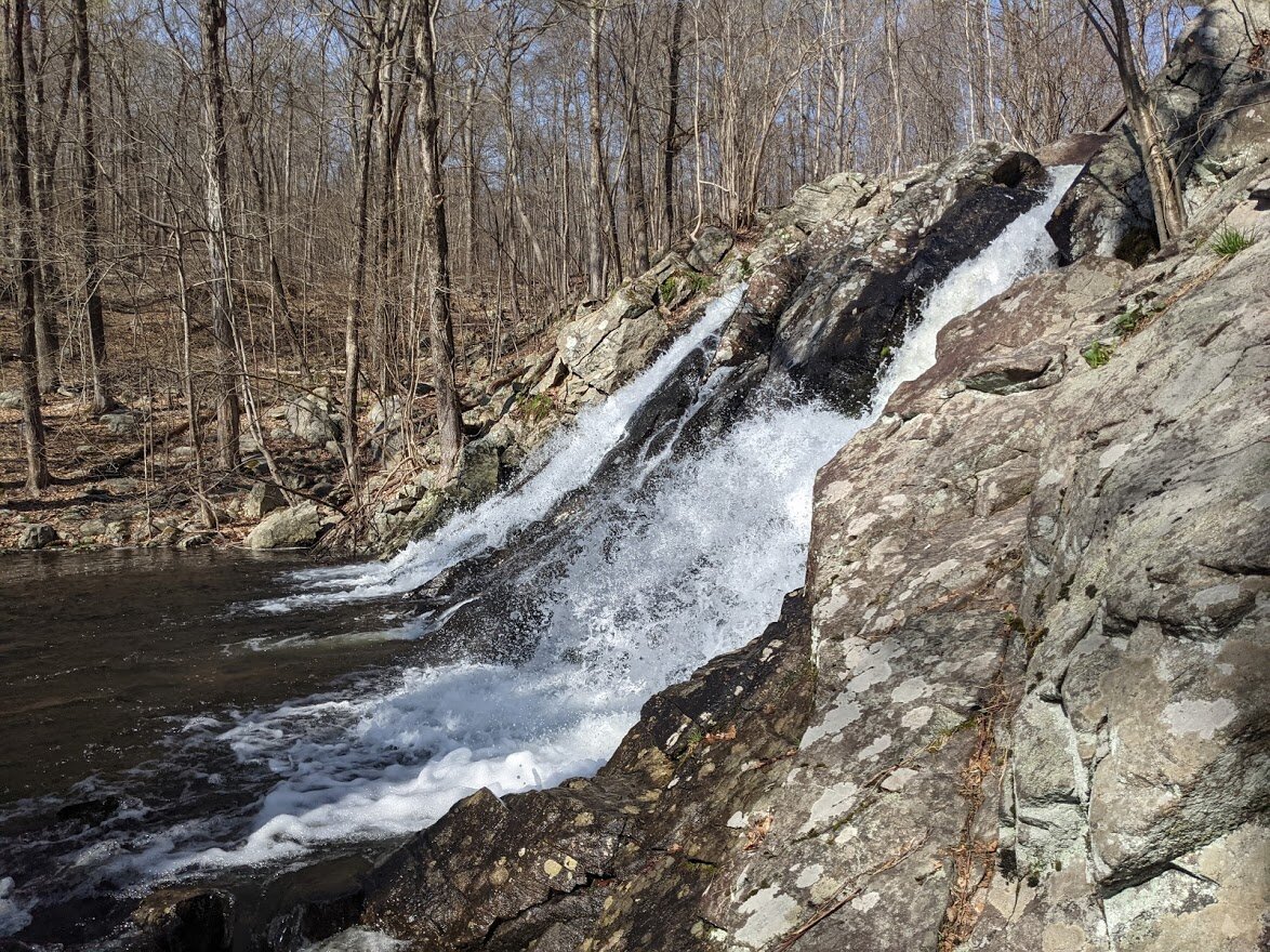
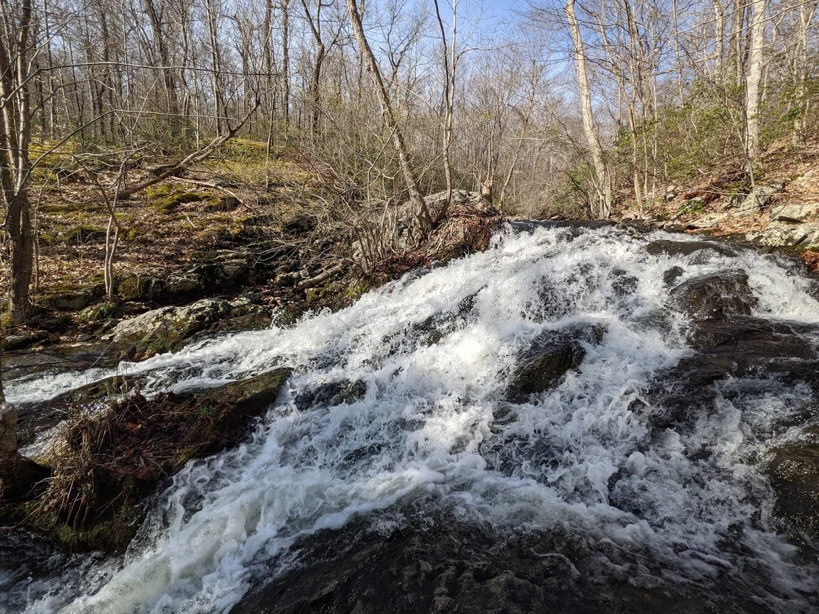
The top of Chikahoki Falls is a bit of a show off.
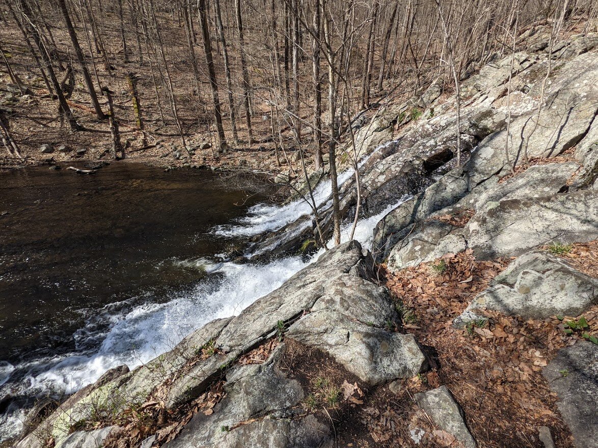
Your first view of the falls is from above. See the little patch of leaves by the rock at the edge of the falls? On my return I stood there and leaned over to get a picture for you.

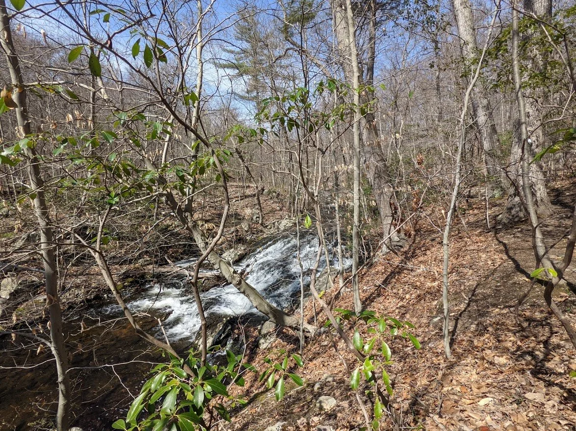
There was yet another blow down, so the only way to see the fall unobstructed from the trail was to be very close to it.
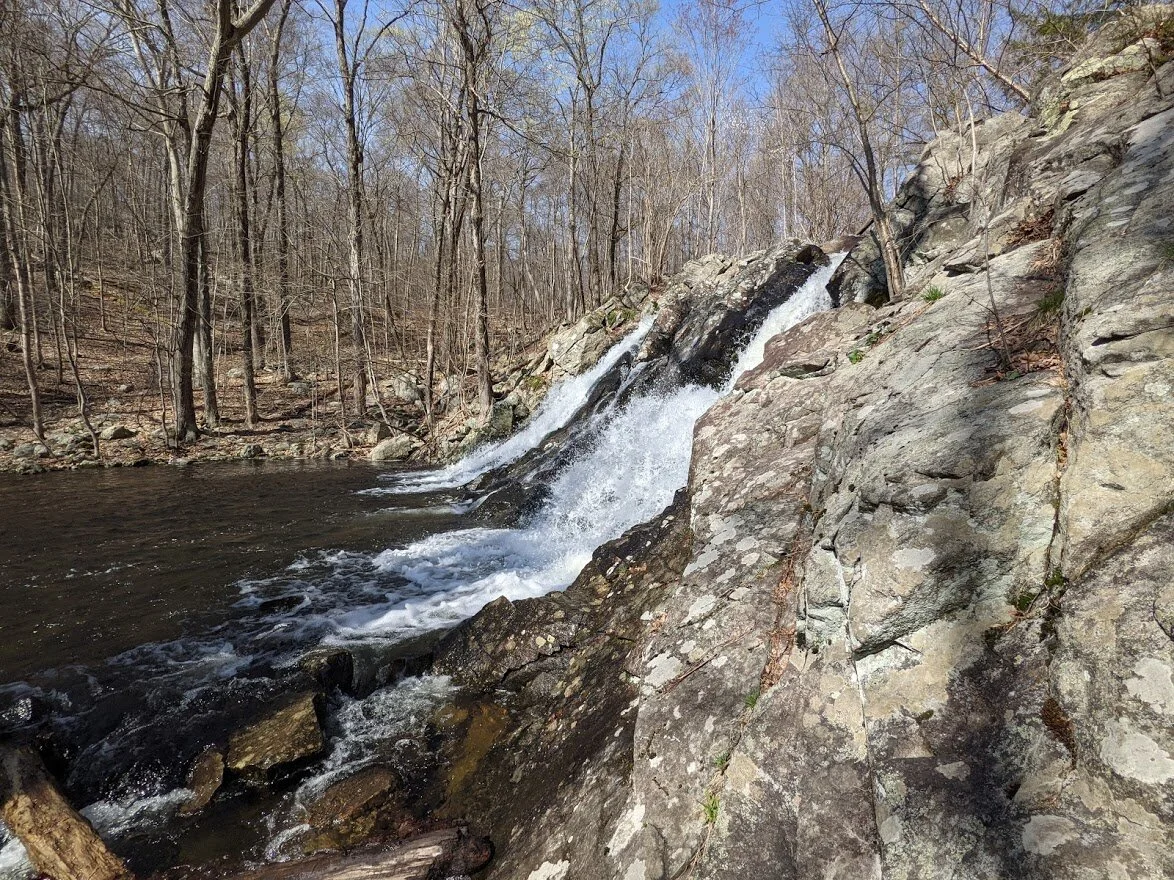
I used the wide angle lens to get this shot from the same spot.
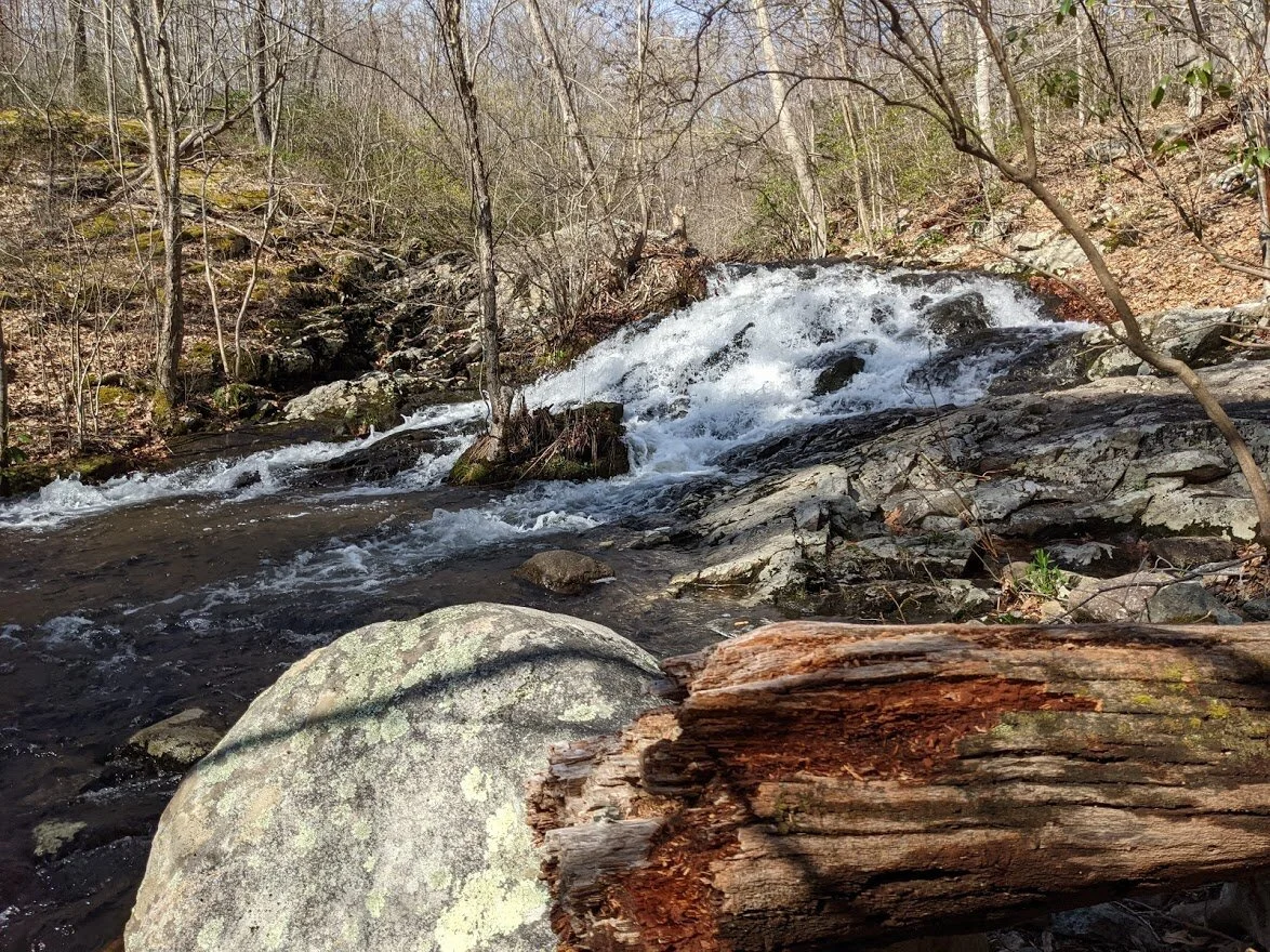
You can see the slender tree that was blown over which obstructs the view. With the brook this high, there was no way to safely cross the brook to get a better view of the falls.
After the falls, I continued to meander down the Posts Brook trail. This is the view looking back toward the falls.
This is looking forward toward Wanaque Reservoir and the Doty Road spur.
Even though you are on high ground above the brook, this area experiences frequent flooding, which is great because it helps the flowers and trees and creates a nice ecosystem for the wildlife, but makes a dirty, muddy walk for the hiker.
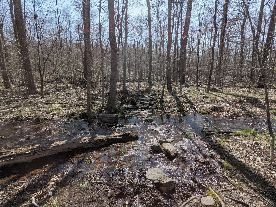
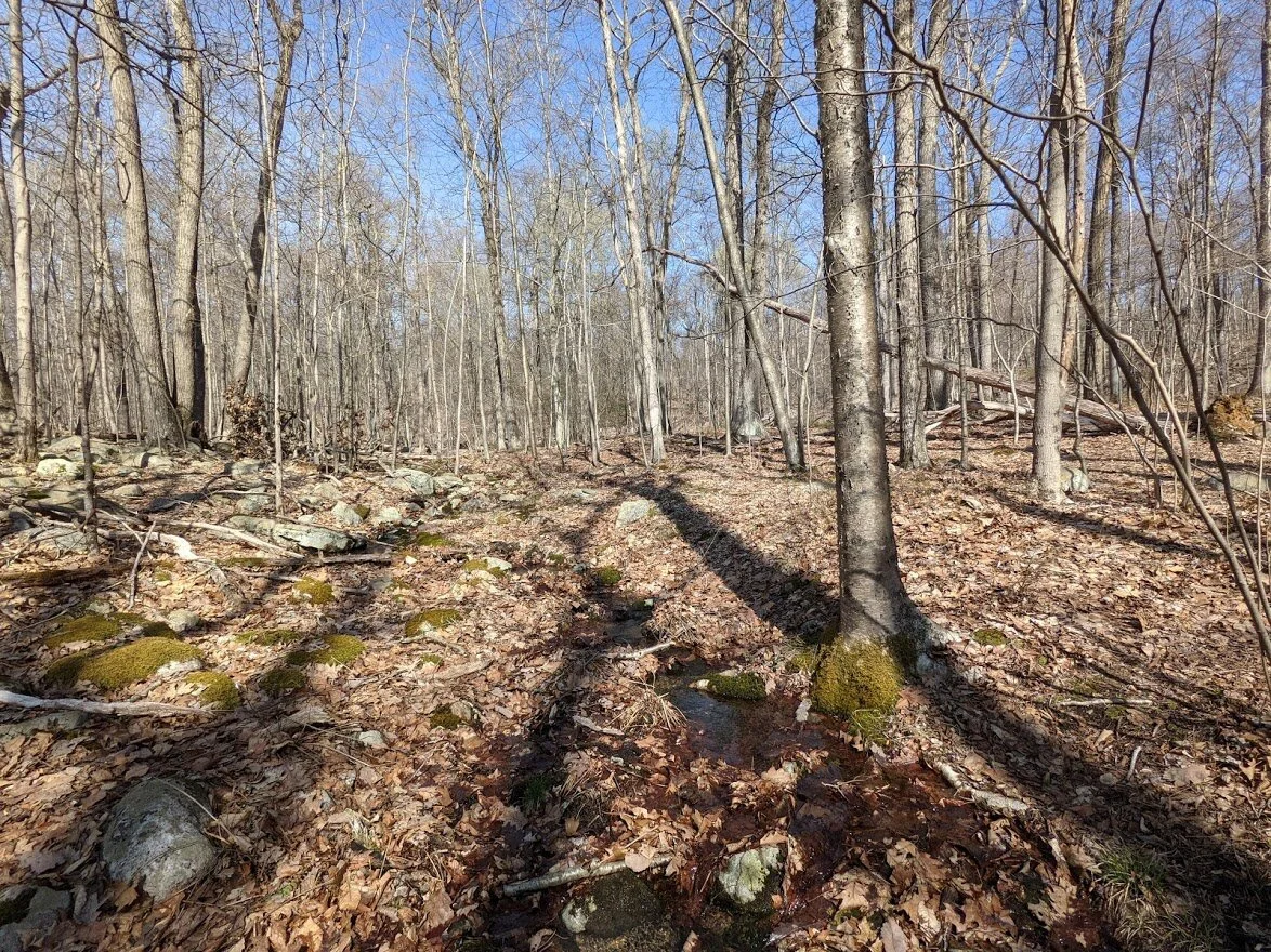
There are a few, easy stream crossings from waterways that empty into Posts Brook.
My butterfly ID isn't great so forgive me if I'm wrong, but I think this is a Mourning Cloak Butterfly...? If you can positively ID, feel free to email me: highlight@highlighthiker.com.
It sure was pretty, and it lingered a long time and showed me its wings!
Not far from the Doty Road spur trail, the Posts Brook trail intersects with the Wyanokie Circular (yellow trail). This trail also leads to the viewpoints along Carris Hill, but has many switchbacks on the map, so many casual hikers will prefer to descend this route,
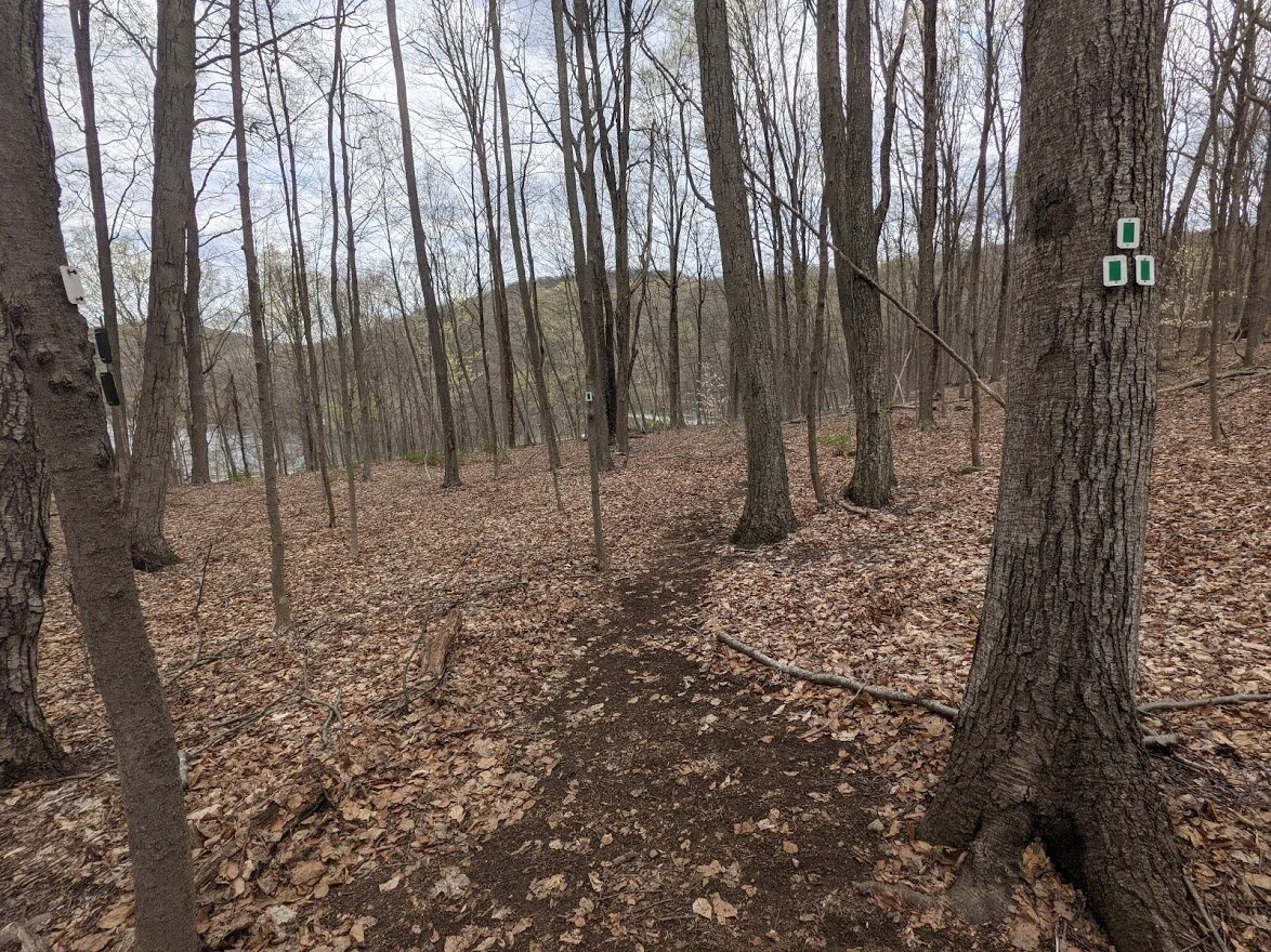
All of Norvin Green is very well marked with frequent blazes and signs at every intersection.
Even if you lose your way and can't use natures clues to figure out which direction you're headed, there is signage to let you know how to get to the major parking areas throughout the park.

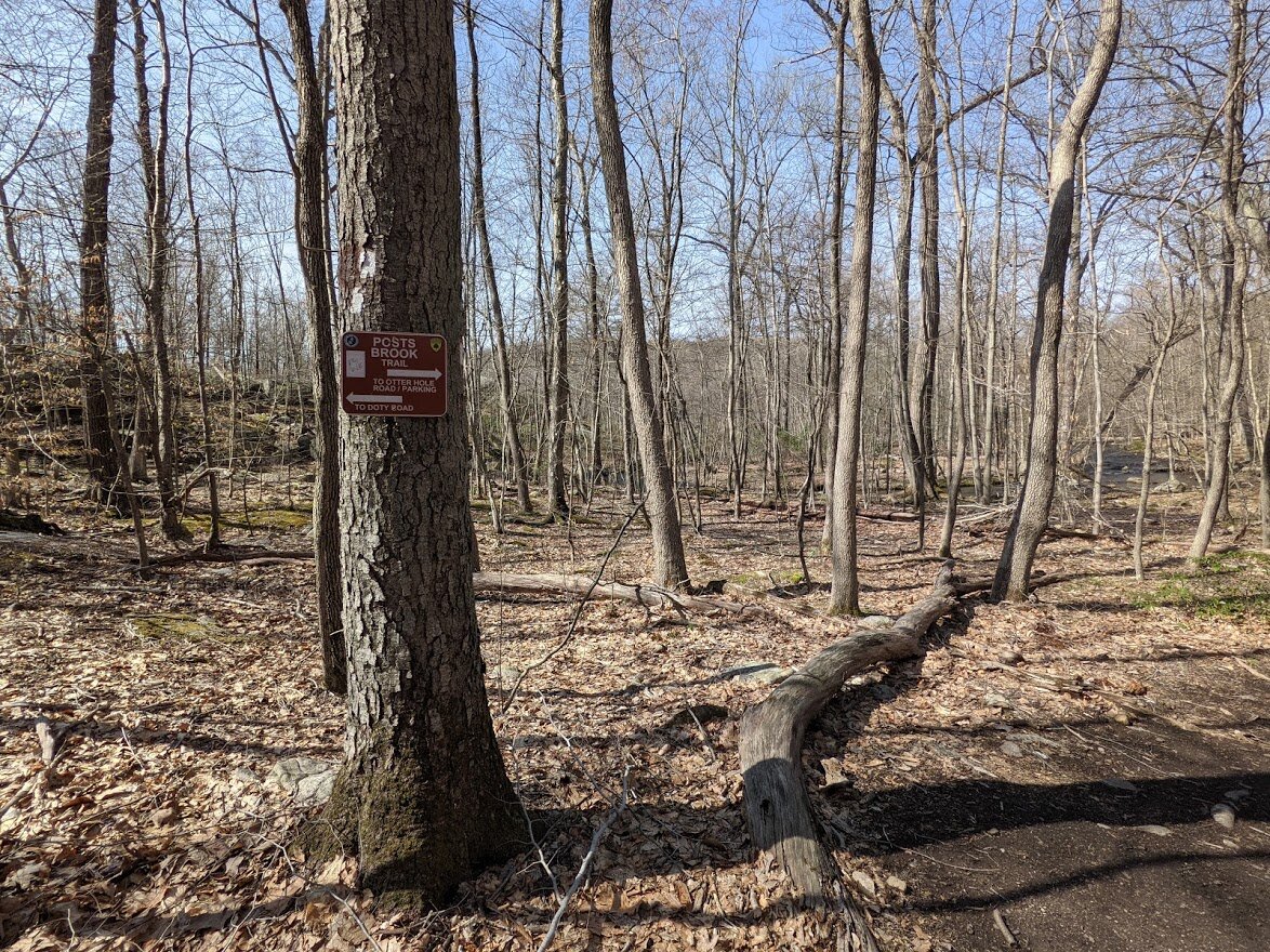
The Doty Road spur is an extension of Posts Brooks trail, and blazes will appear as a black dot on a white blaze.
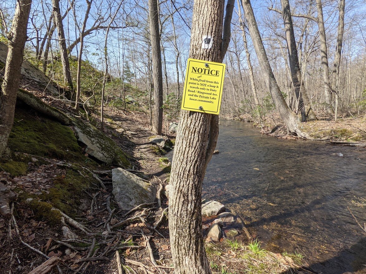
This part of the path is an out and back and leads to a private community where parking is not allowed to the general public.
As you pass along the edge of the Wanaque Reservoir, you'll see fencing to keep you out.
This is where I turned around. The rocks were round, small, far apart and mostly submerged. I was not comfortable crossing and decided to come back another day.
I love my boots, but there is no way that they could grip the wet, slippery moss growing on them. Better to try another day that to risk injury... or falling into the drink!
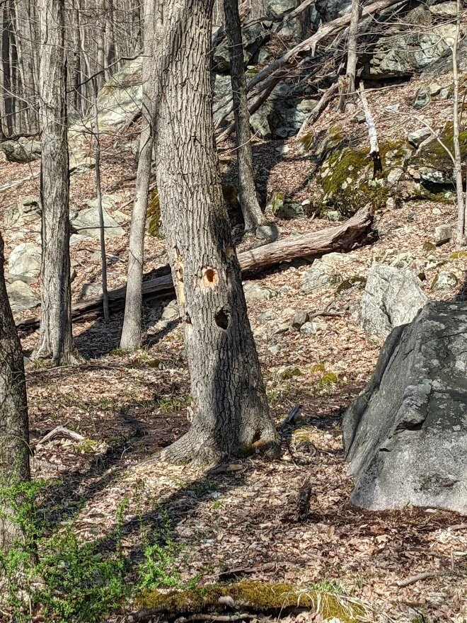
A woodpecker buffet!
Heading back to the falls, the brook is wide and deep, but gentle. And really pretty!
I'm looking forward to coming back when the water is not as high to see how the flow of the brook changes.
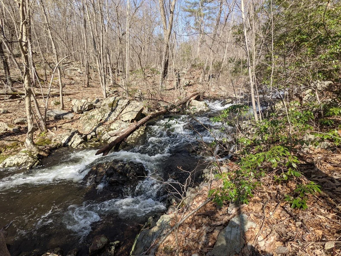
Meanwhile, back at Chikahoki Falls... see how the blow downs obstruct the view?
It would be wonderful if there was a trail on the opposite side of the falls, but until there is, hiking there is destructive to the forest and should not be attempted.
You can walk right up to the top of the falls to feel it's power. This is looking upstream from the beginning of the drop.

I DID THIS FOR YOU! lol. But seriously... my head was spinning. I don't like being near the edge of a drop off.
This is the upper falls section from the trail. It's a steep drop down to get to it, but it is just as pretty from above.
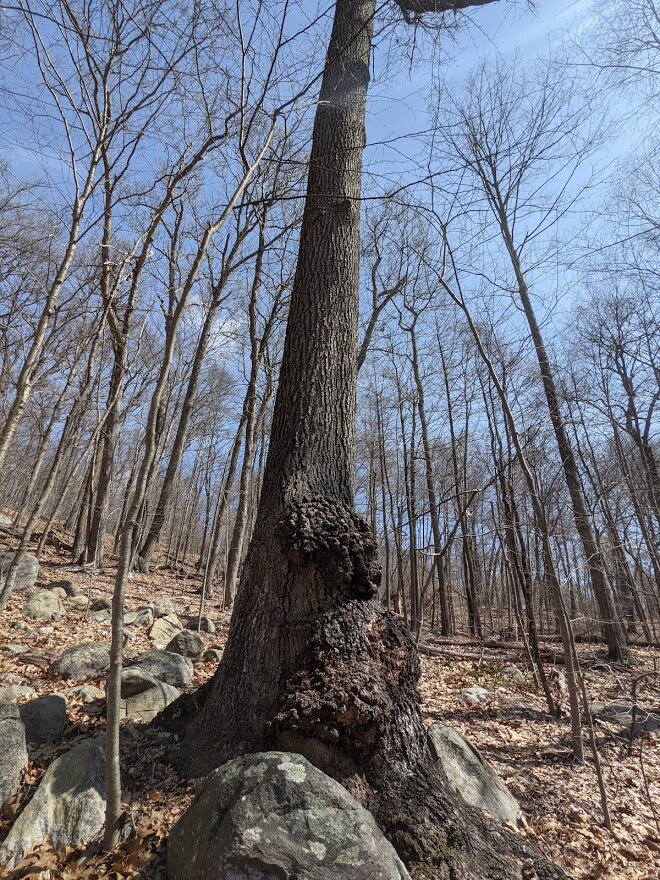
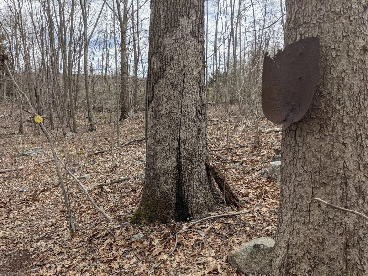
Those are some mighty big burls. Then again, this is a mighty big tree.
This stream crossing was fun!
This rather large stream (unnamed on my map) feeds into Posts Brook. From this point, the trail heads back the same way it came in.
Long Pond Ironworks
Monks Mountain, Highlands Meadow
Total Mileage:
2.25 miles
Total Elevation:
479 feet

The parking lot at the North Boat Launch is immense, but fills to capacity on summer weekends. If you plan to visit then: go early!
No, the camera isn't crooked. That is the angle of the trail.
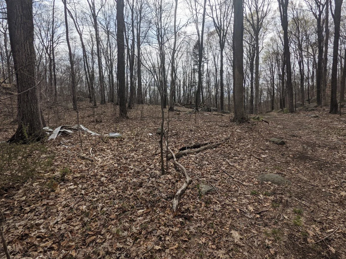
Anyone need some siding? This was a weird dump spot as there are literally no woods roads or other easy entries to this location for dumping.
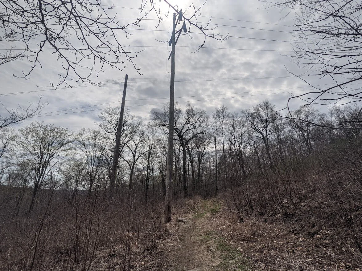
On the east side of Monks Mountain, there is a power line clearing....
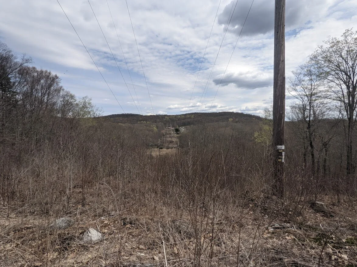
... which provides you with a short view of the area.

Between the power line and the Highland Meadows trail (yellow/fish blaze), lies Winston mine. And it does lie. Deep. Into the landscape.
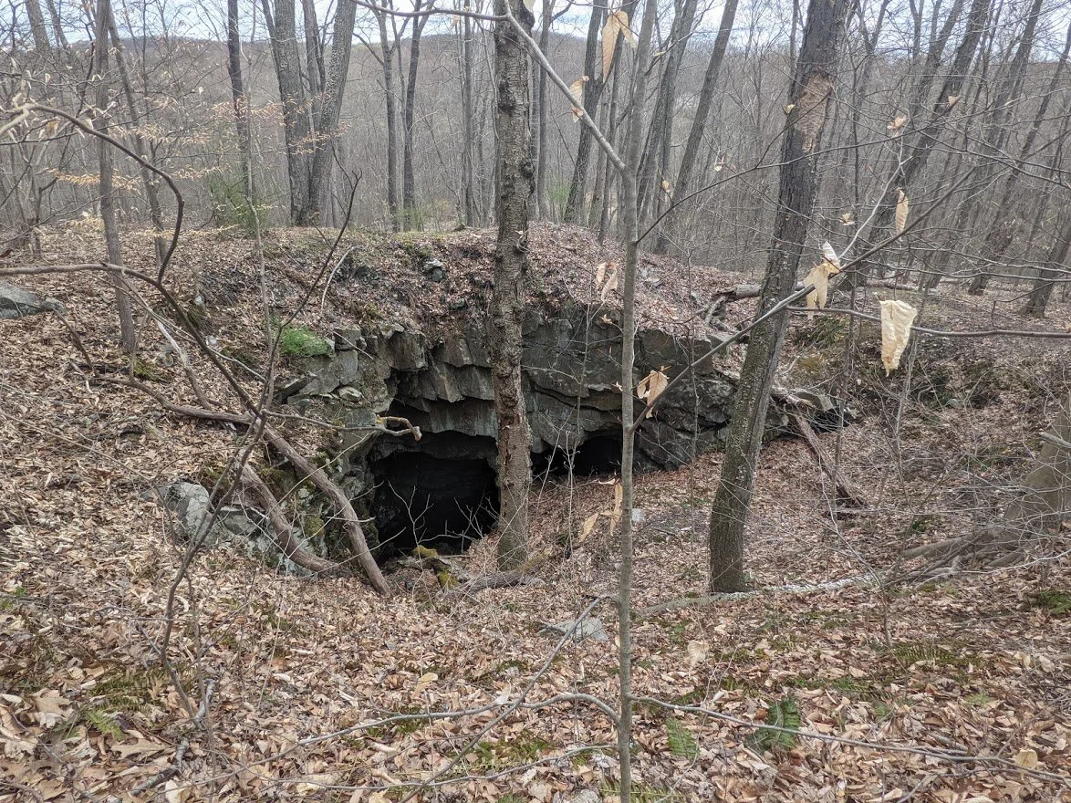
An unmarked side trail to the east travel to the mouth of the mine.
There is a seasonal water crossing, but no need to rock hop - it's very shallow and I plowed right through.
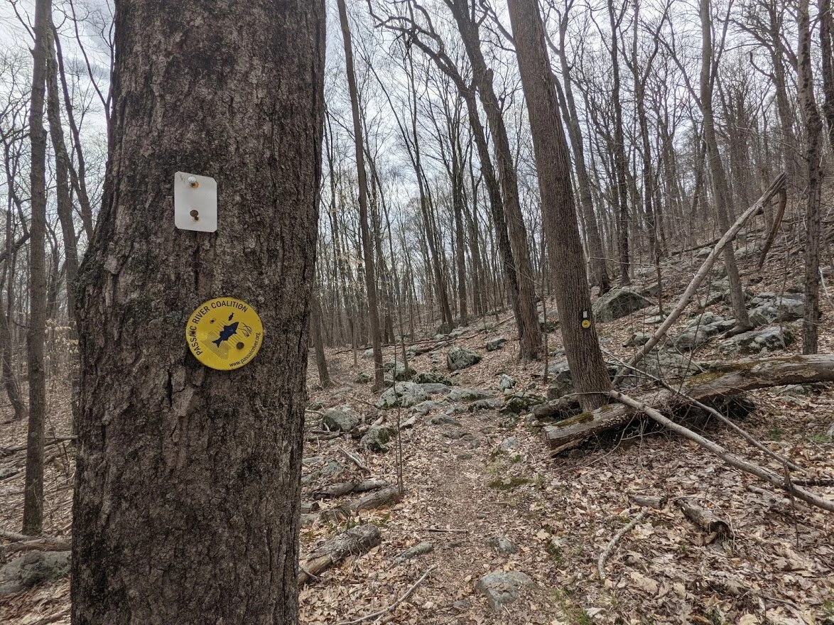
The Passaic River Coalition blaze is so CUTE!!!
Anyone need part of a shovel? It's right here for the taking!!
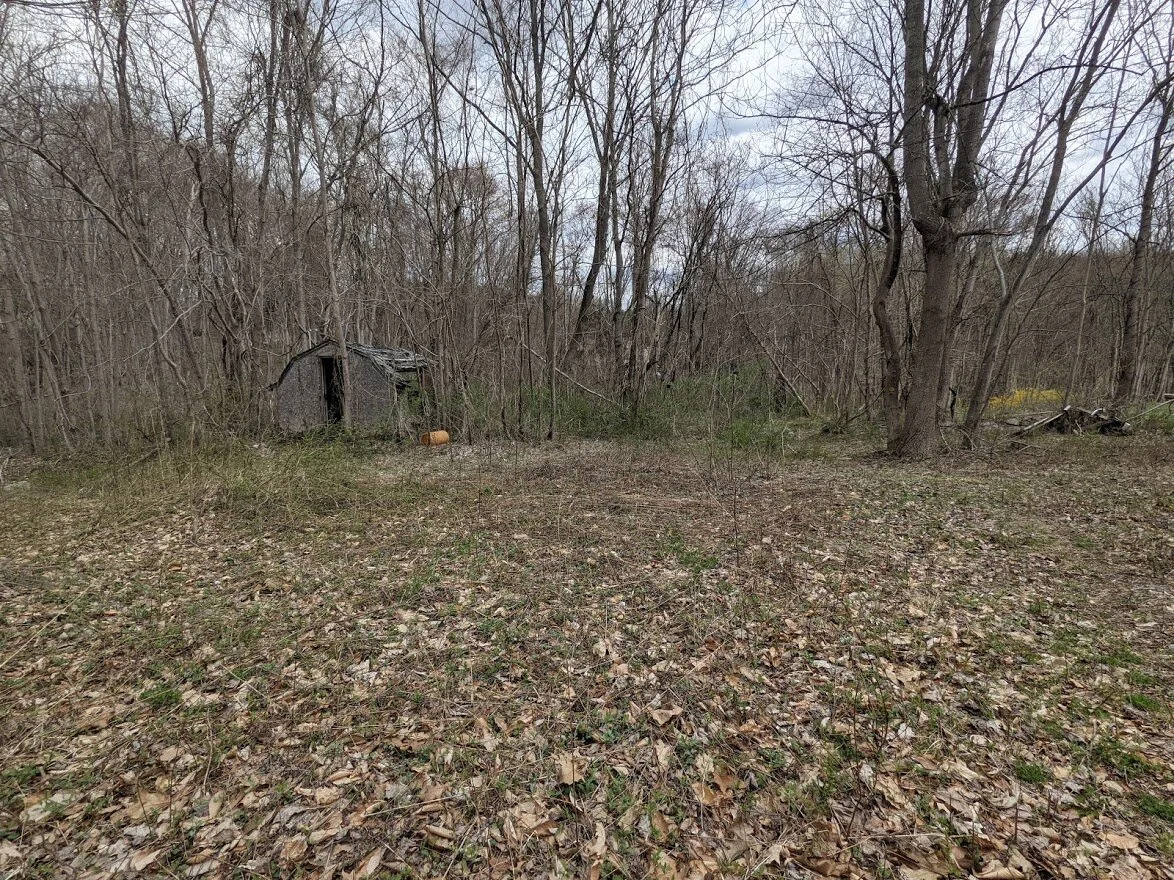
This is where I got a little creeped out. Is this private property? Is this the trail? No idea.
After passing by a building with a big "OPENING SOON" sign (I think it'll be a restaurant?), I passed by some historic buildings with numbers and no idea what tales those numbers correspond to. But I did come across this lovely view of Monksville Reservoir!
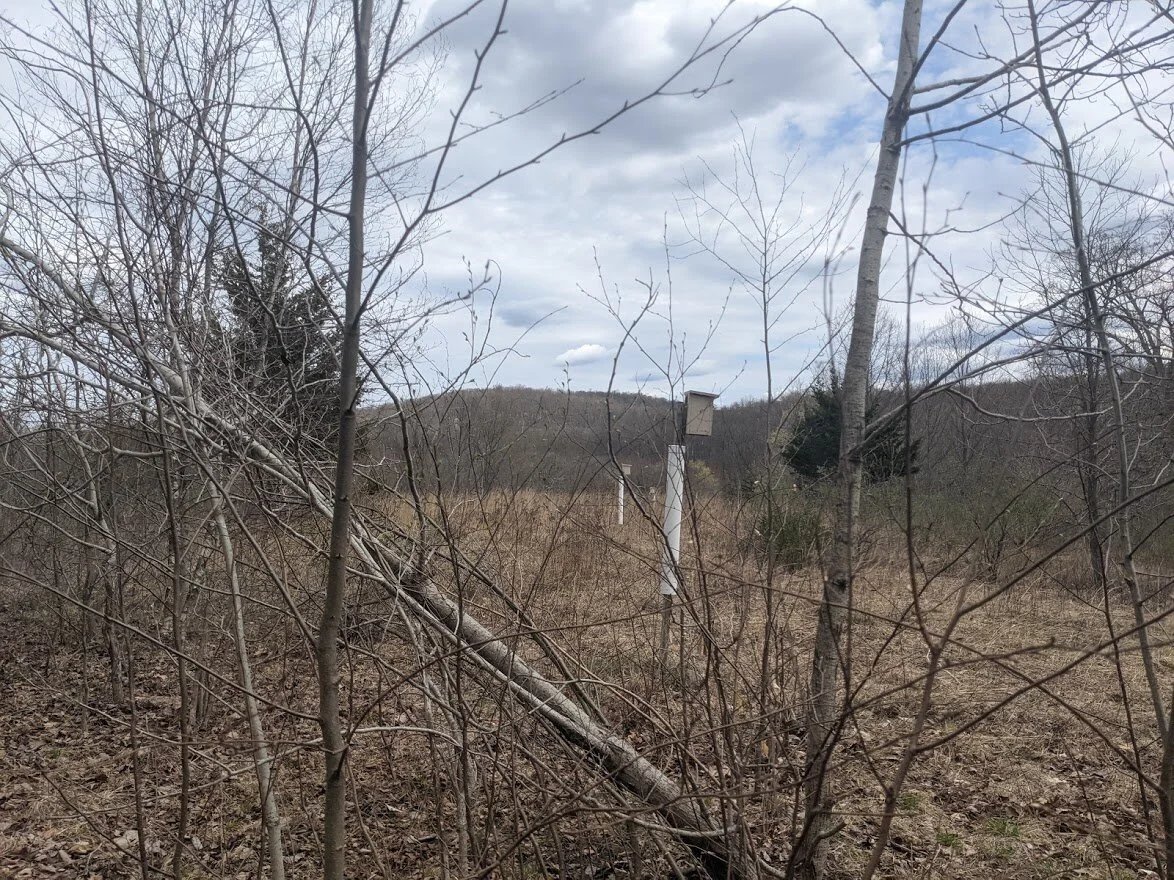
A short climb leads to these bird houses. They are numbered as well. but...?
Back on the Monks Trail (white blaze) and headed back to the parking lot. After the heavy rains there was significant flooding in certain spots, but not along the trail itself.
This connector leads to Greenwood Lake Turnpike and Tranquility Ridge County Park.
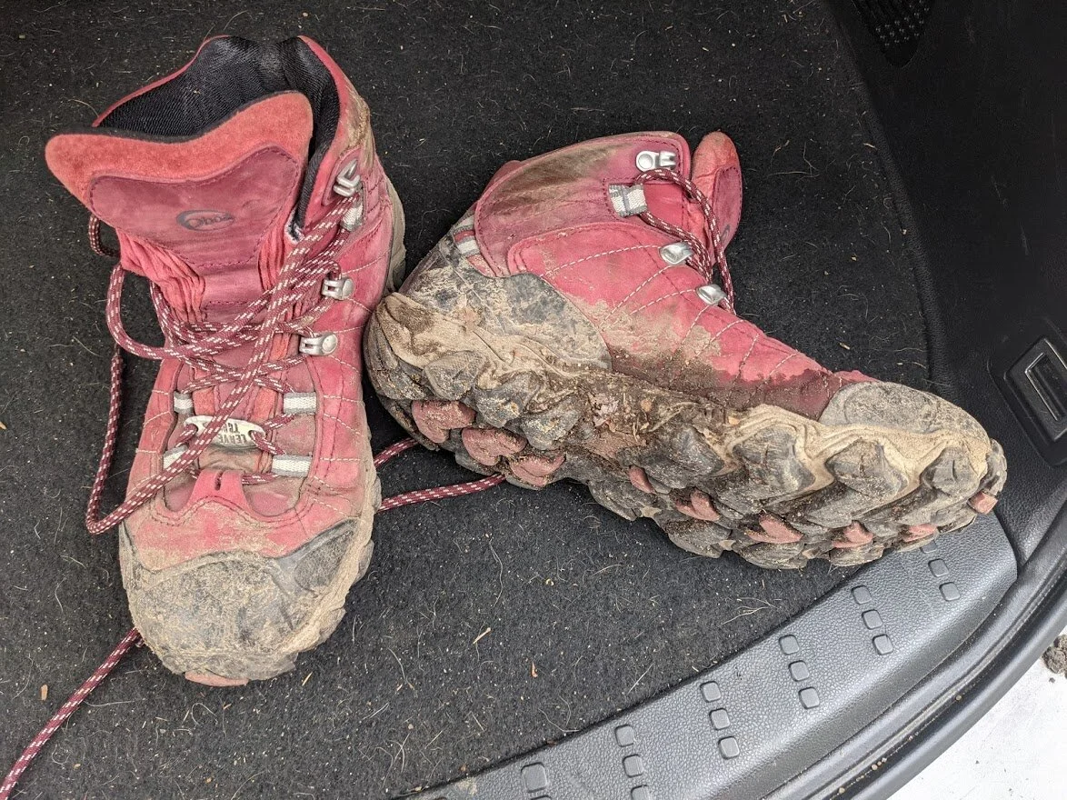
Most of today's mud came from my hike through Norvin Green, but I did plow through a brook on the Monks trail, sooooo... yeah. A GOOD DAY WAS HAD BY BOTH BOOTS! Thanks, Oboz!