

Where am I going?

Highlight Hiker Blog
May 25, 2021
Norvin Green State Forest
Carris Hill and The Ballad of the Lost Map
I lost my map on this trail. My beloved paper map with all its beloved highlighted trails. I knew exactly where I lost it, too. I had bent down to pick up a rotten soda can and it fell from the pocket of my backpack while I put the can in the garbage bag I keep inside my pack. Ugch. And the next two days I was doing other stuff, so I wasn’t going to be able to go back out to find it. I was heartsick. I didn’t want to buy a new map and start all over. I wanted my beat-up, creased, highlighted, favorite map! Dang it!
So, I made the “LOST MAP” image and posted it all over Instagram. The people at NY/NJ Trail Conference even saw it and re-posted it to try and help. My friend, and Trail Maintainer, Shawn just happened to be looking for a great hike the following day to do with a friend so they followed in my footsteps on this loop and found my map exactly where I’d dropped it and brought it home to me! Thanks, Shawn!!
Carris Hill is a pretty remarkable hike. Long, but really lovely overall. It’s very popular and in the summer months there are several guided hikes (which you have to pay for) where you can get…. well… whatever it is that you get from a guided hike. I have no idea. I’ve never done one. But with it’s beauty comes its challenges. This isn’t the most difficult hike out there, but there are a lot of ups and downs. You probably should be in pretty good physical condition. I mean, I’m not and I made it but I’m also notoriously stubborn.
I only crossed paths with a handful of people along this long route, which I thought pretty amazing since A. it was a splendid day, B. It is one of the most popular hikes in Norvin Green and C. Norvin Green is one of the most popular state forests in northern New Jersey. Everything added, I probably should have come across far more people than I did. And darn it! I was looking forward to calling “YOO HOO!” at Yoo Hoo Point, but there was no one to Yoo Hoo to! (I yoo hoo’ed anyway… it’s Yoo Hoo Point, you’re obligated to yoo hoo, y’know?)
I remember the biggest challenge of this hike was (my first complaint all of the time) lack of water… and I carried a lot of water on this hike… exposure, and it’s length. I was burned out by the end and ready to go home. I think that’s because the climb up to Carris Hill is pretty much constant and the hike back down is full of ups and downs. Just check out the stats below. You’ll see what I mean! I completed the hike in just under 4 hours, which I thought was a pretty good accomplishment, map-less or not!
There are so many photos in this gallery. Imma make the captions quick and breezy. I hope you’ll enjoy following along!
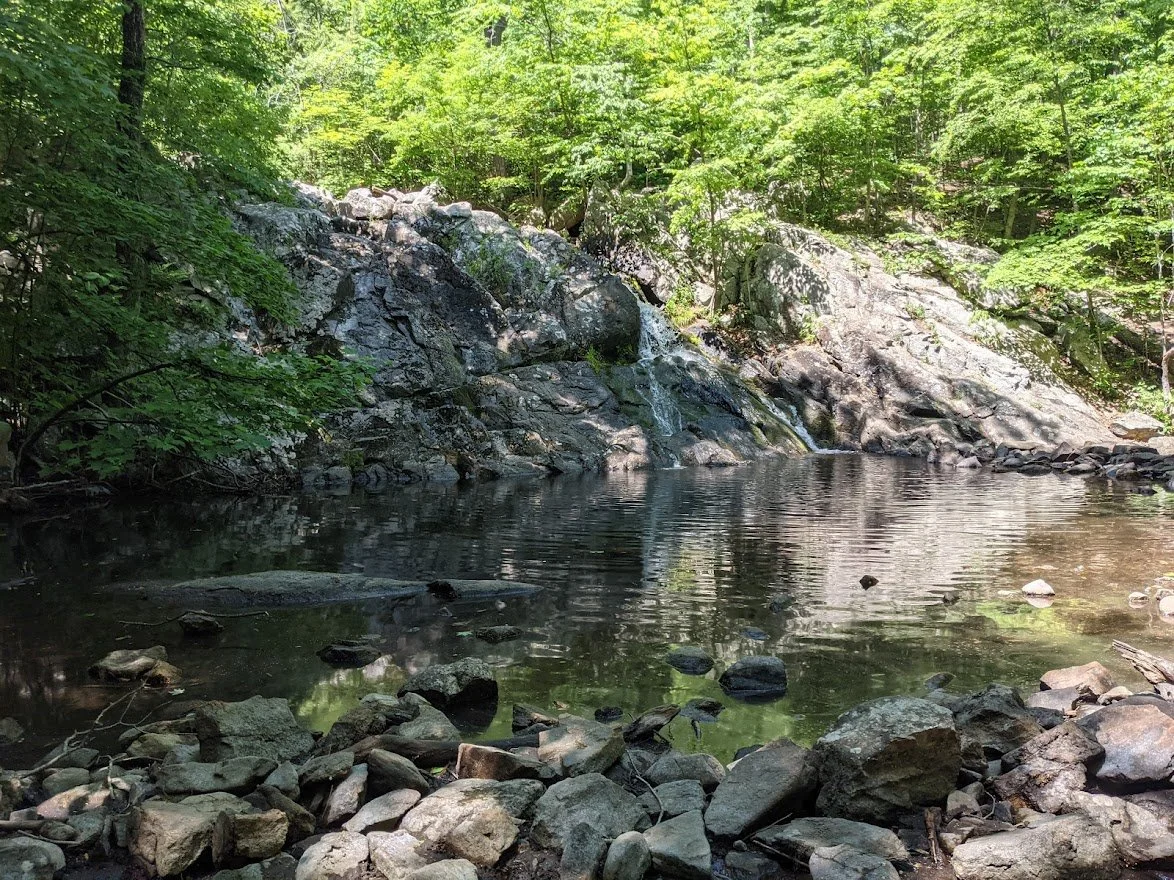
ROUTE INFO: Chikahoki Falls fire road to Carris Hill (yellow blaze) to Hewitt-Butler (blue blaze) to Wyanokie Circular (res blaze) to Lower (white blaze) back to Chikahoki Falls fire road.
Norvin Green State Forest
Carris Hill
Total Mileage:
5.63 miles
Total Elevation:
2099 feet
I returned to Chikahoki Falls via the fire road (it's faster) and followed the trail to the Doty Road trail, where I backtracked about 1/2 mile to get to the Carris Hill trail head.
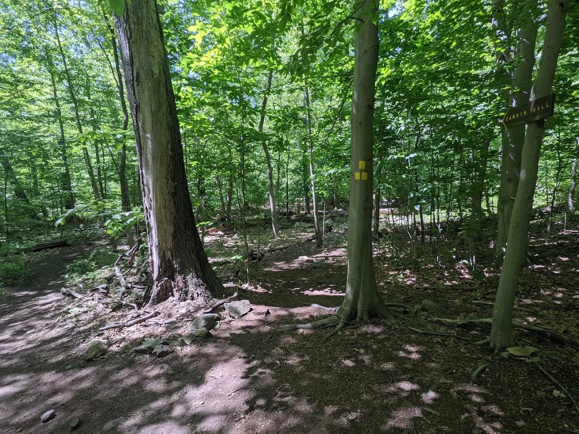
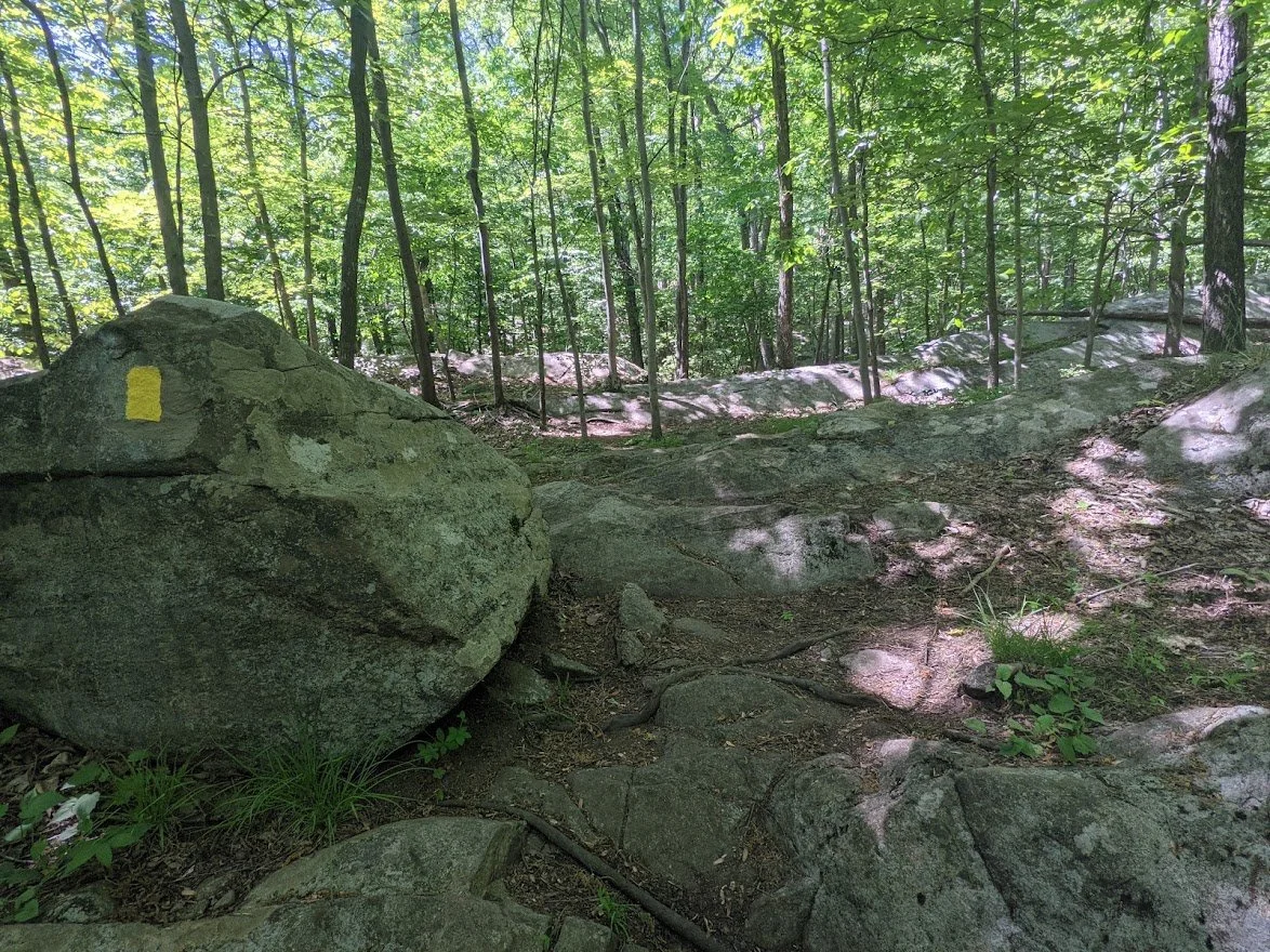
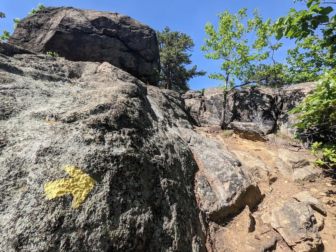
Carris Hill trail is a yellow blaze and very easy to see... most of the time.

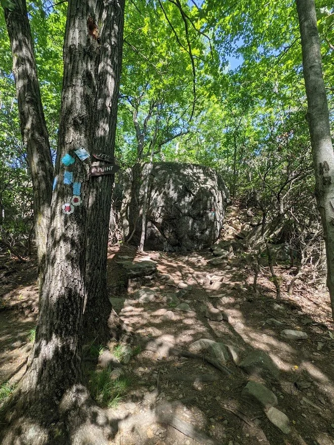
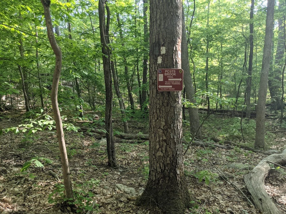
The signage in Norvin Green is fun and differentiates it from other state parks.
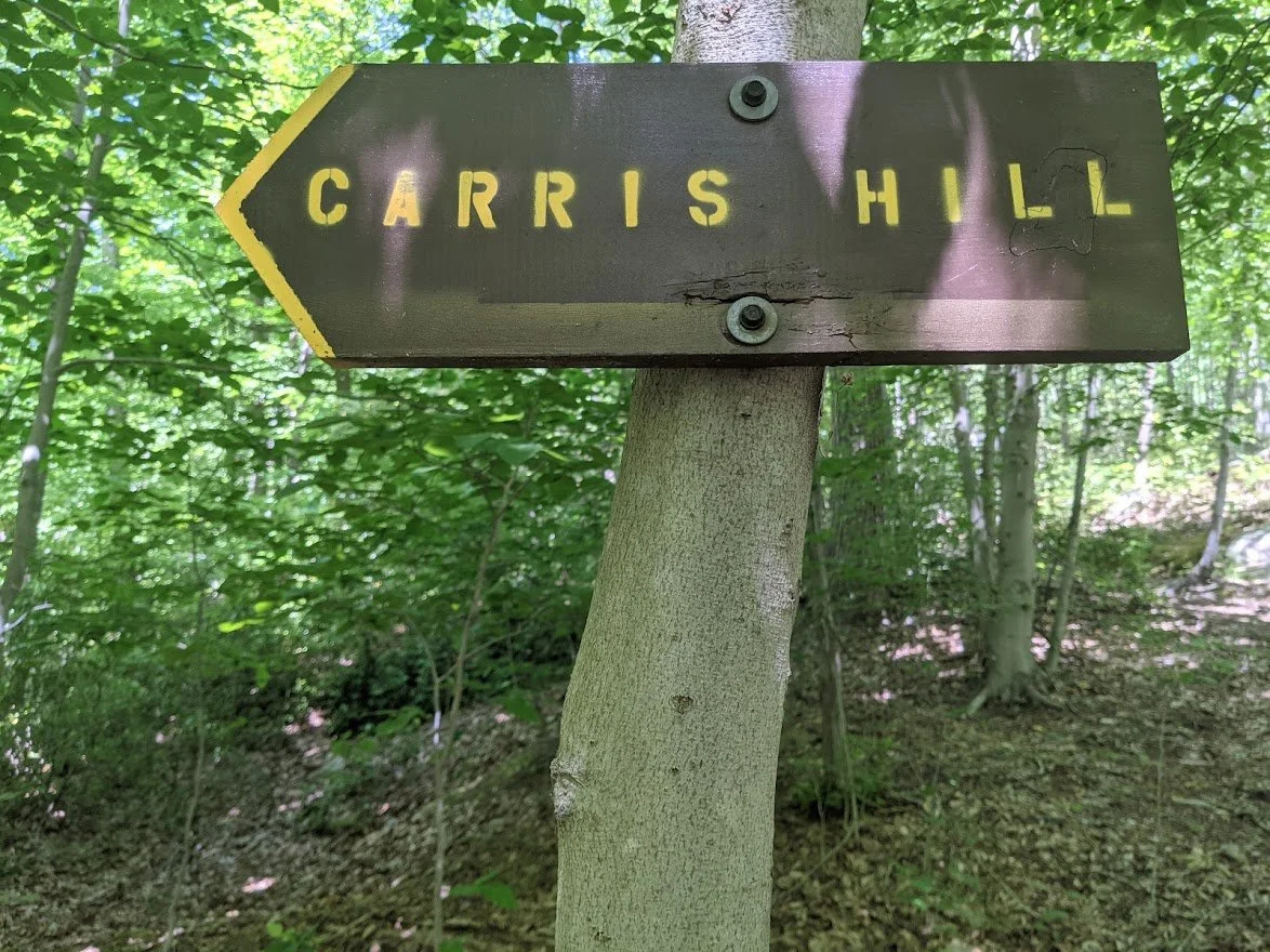
YES! CARRIS HILL! I had no idea what I was in for. I just knew it was going to be a big fat climb for my big fat bootie!

I took photos of my Garmin watch display before setting out on the trail. I had, at this point, climbed 113'. With a total of 2,099' in elevation you can see what a big climb it is.
And it starts out right away.
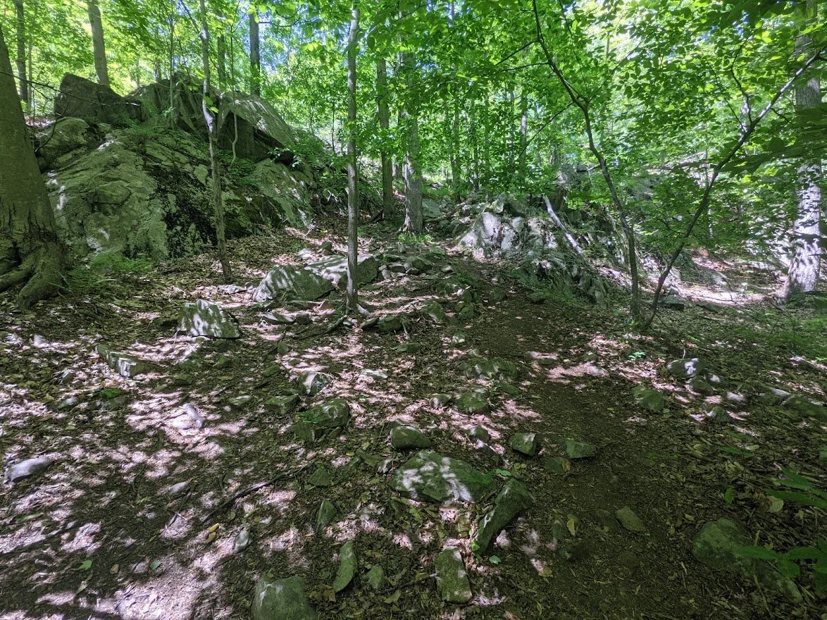
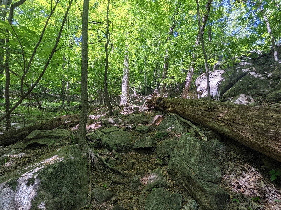
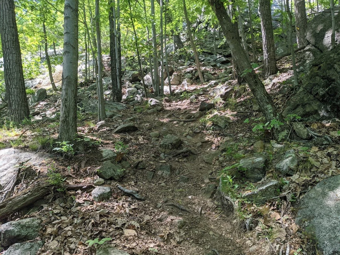
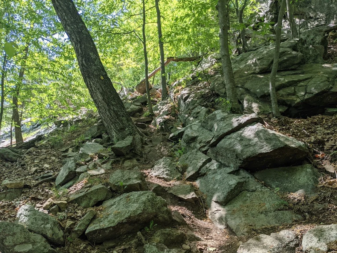
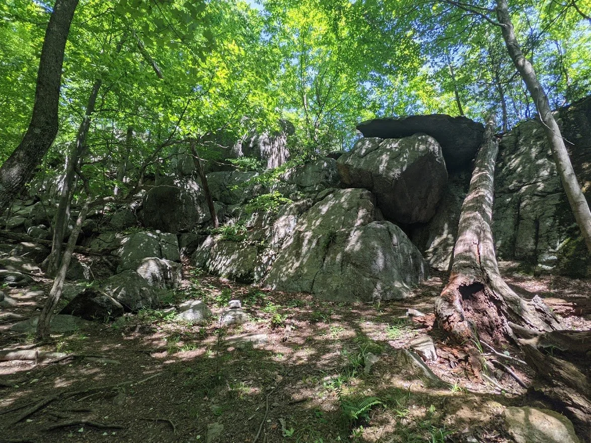
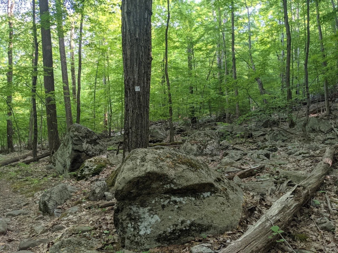
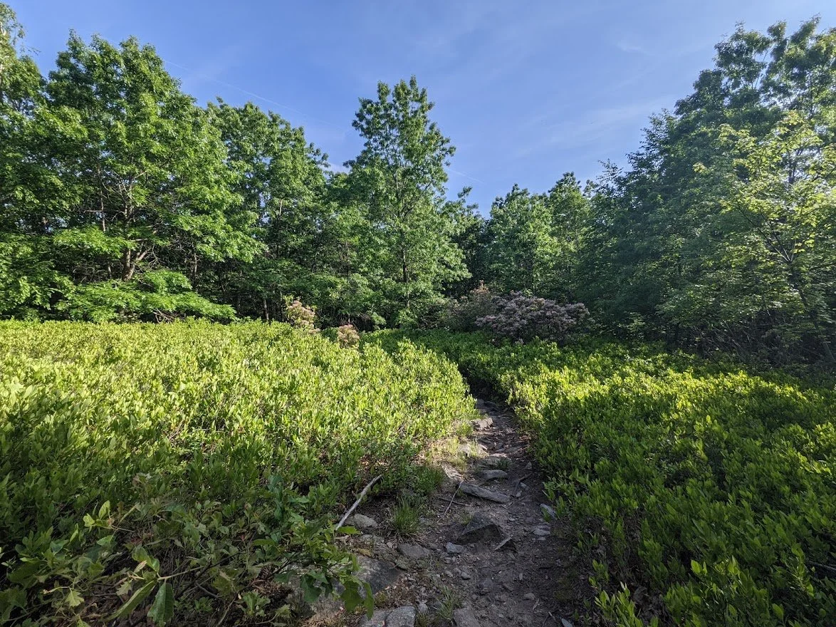
The lower section has a lot of boulders, but navigating them is easy, thanks to the hard work of the trail maintainers!
Headed up Carris Hill
And up some more.
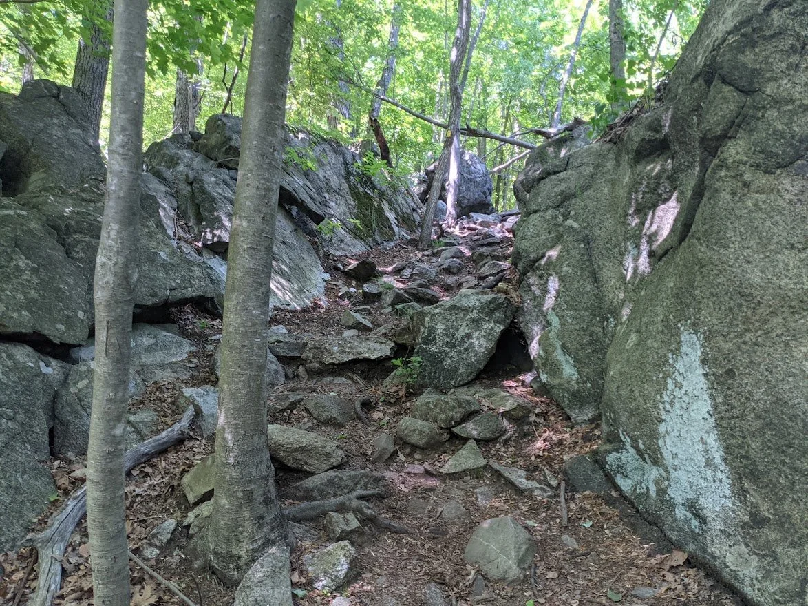
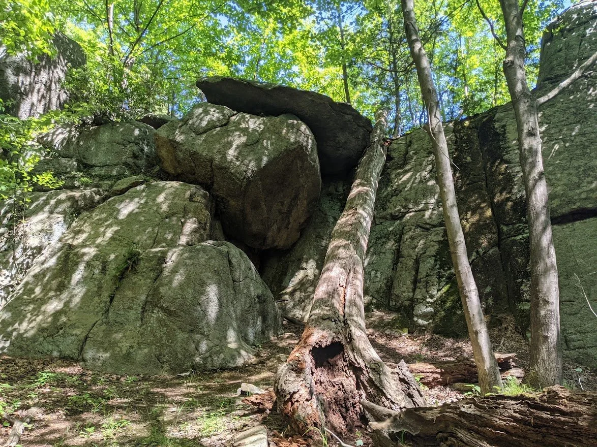
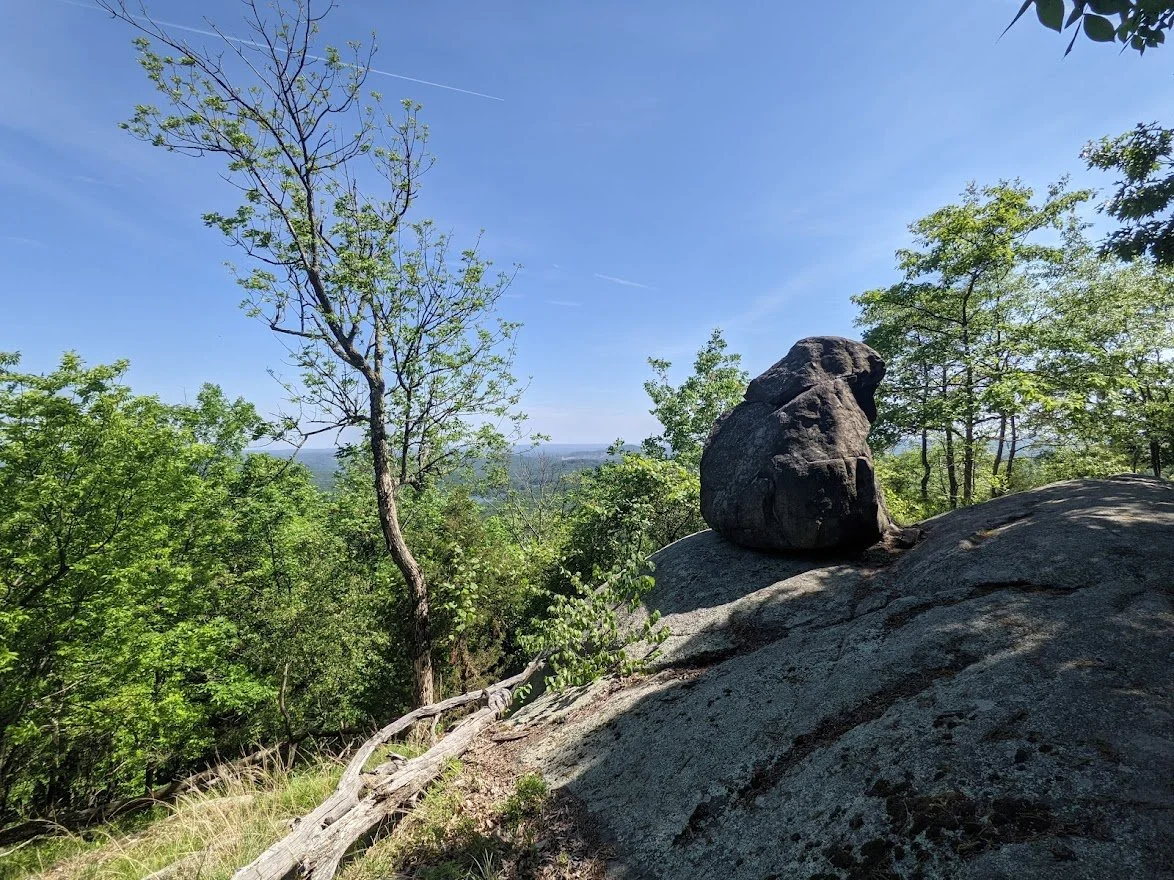
This section I remember very well... the trail was very clearly marked through the rock, but on the other side, I lost my way a bit.
Kind of easy to know where you're headed with rock formations like this!
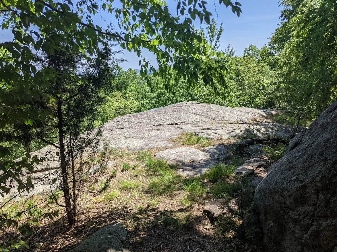
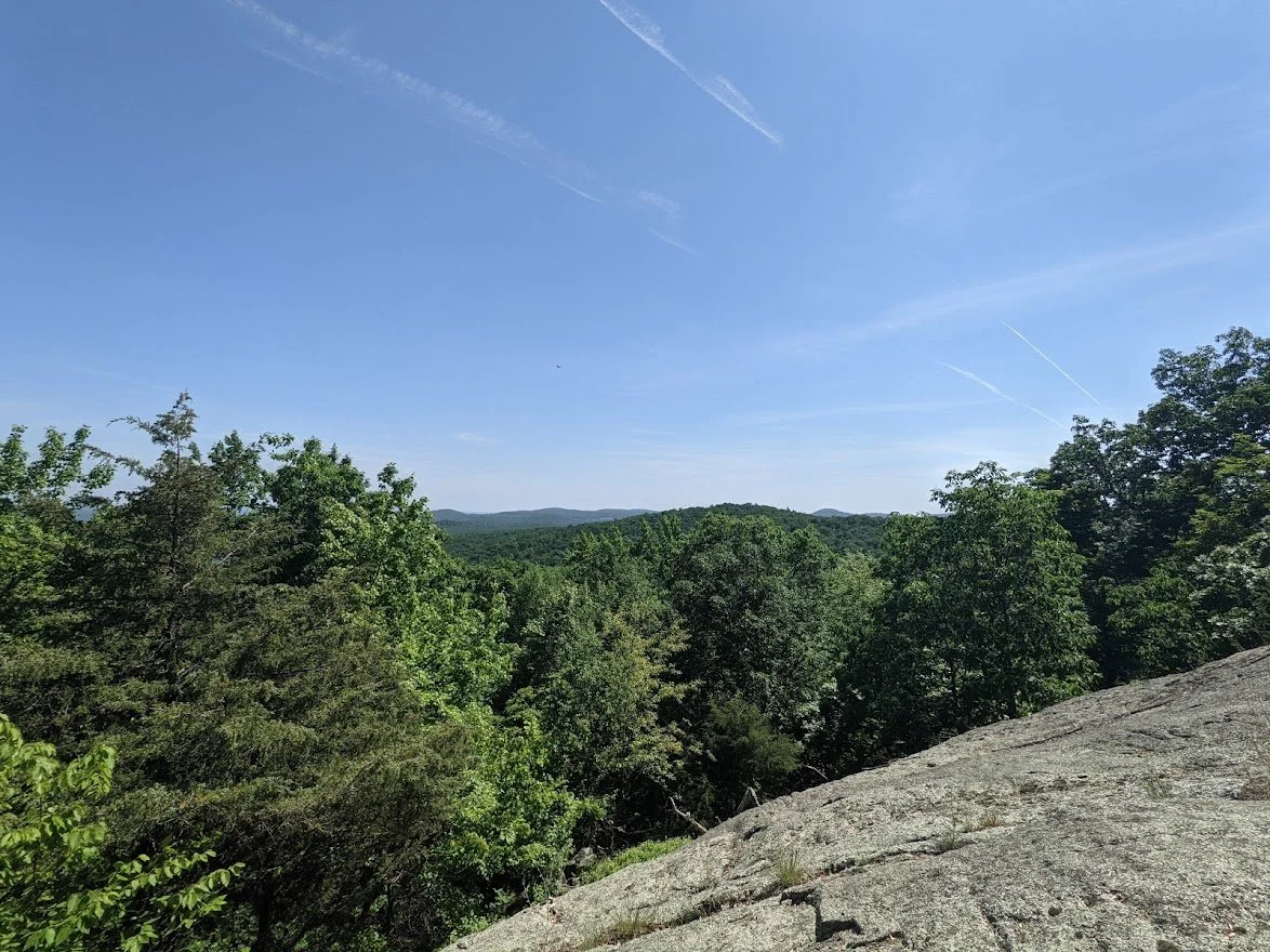
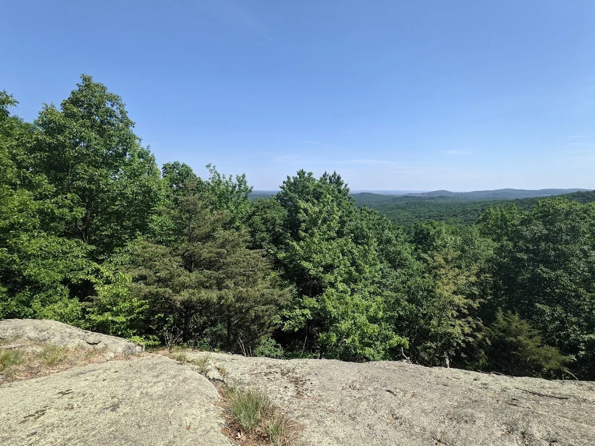
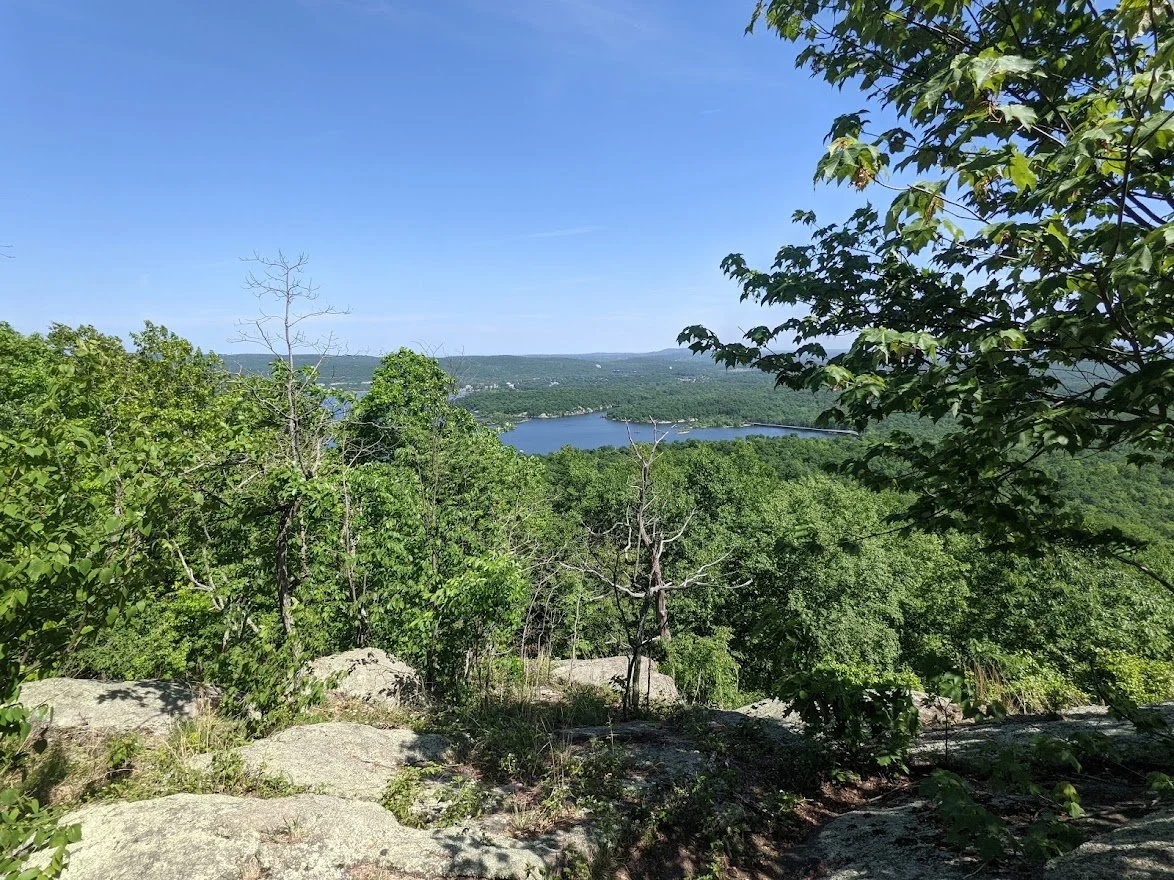
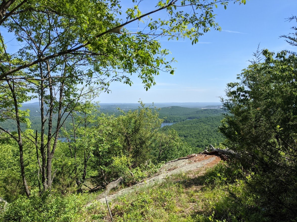
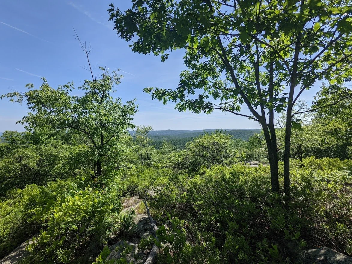
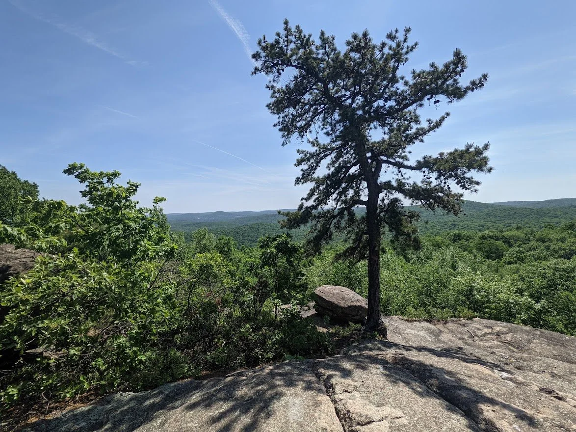
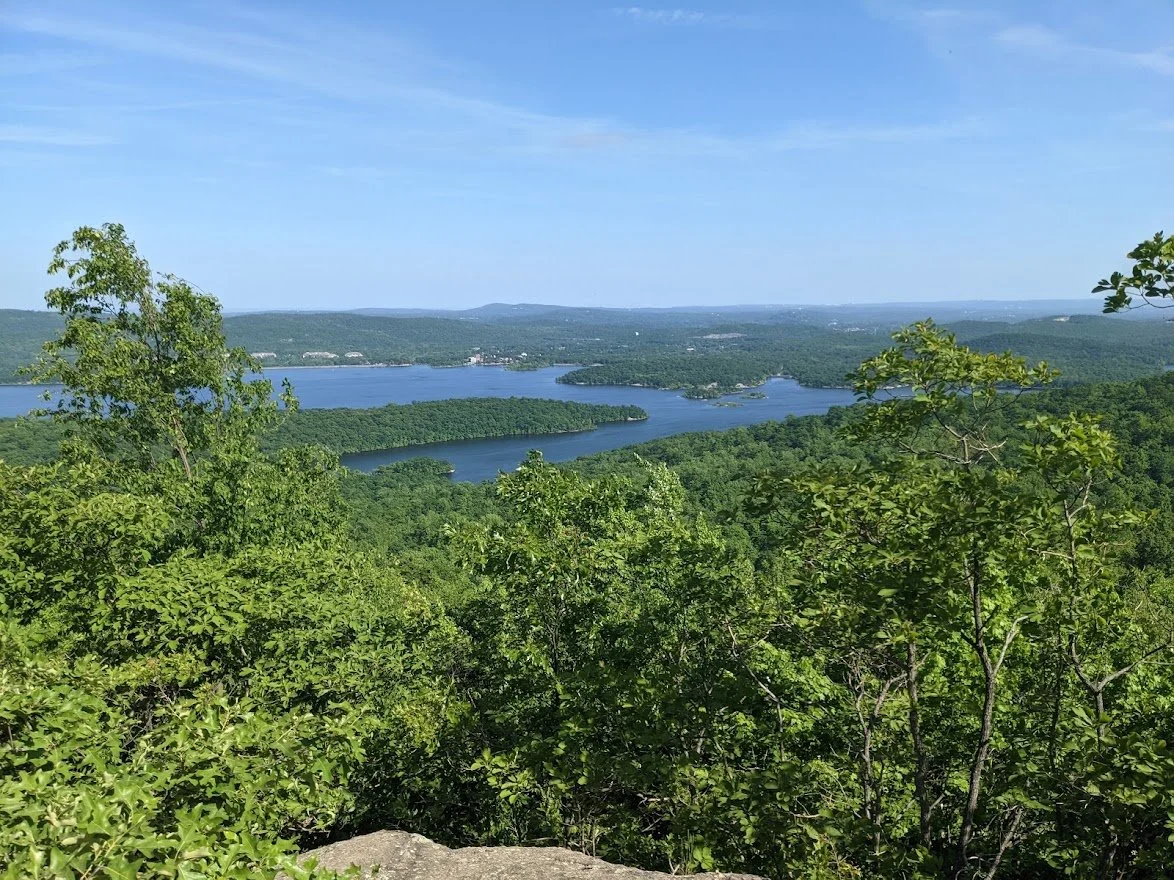
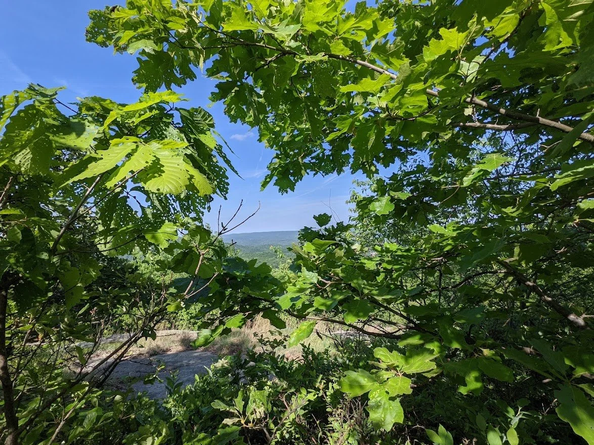
There are a few scenic viewpoints along this loop, with this being your first.
So pretty and you're not very high up.... YET.
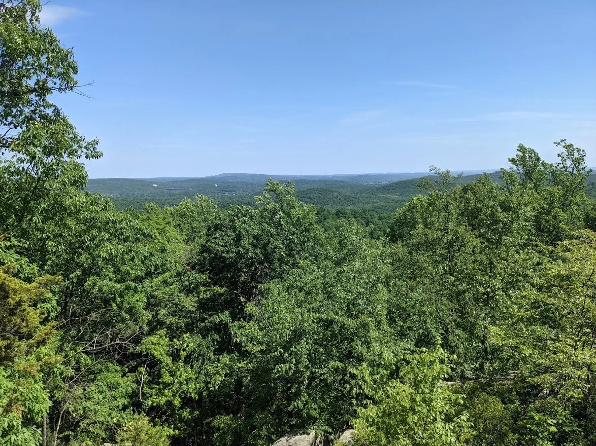
Lovely views of the valley below and the mountains beyond
And then it's back to the trail and more climbing!
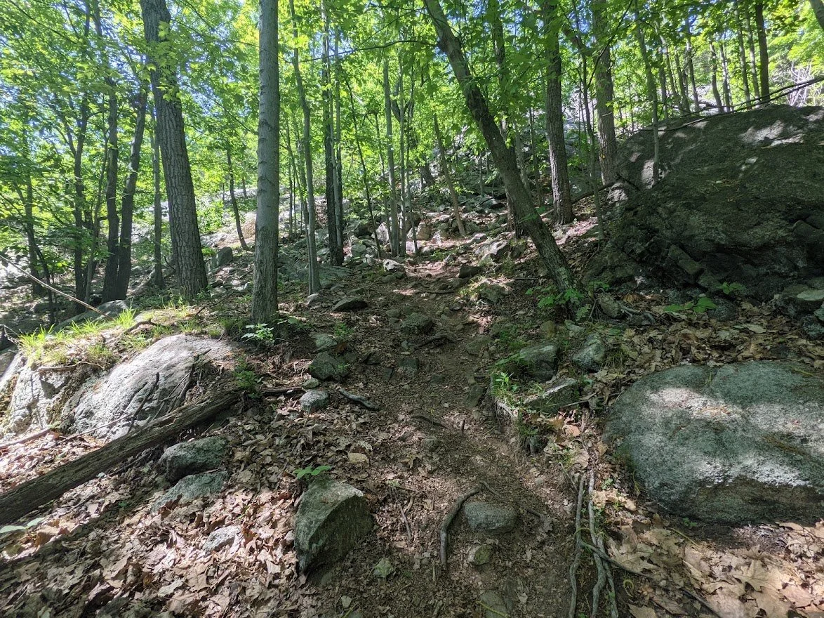
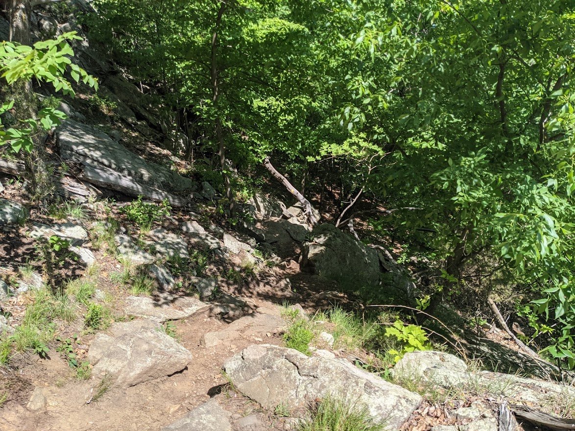
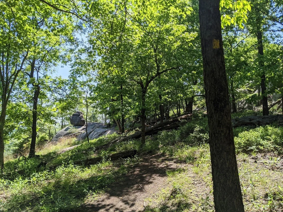
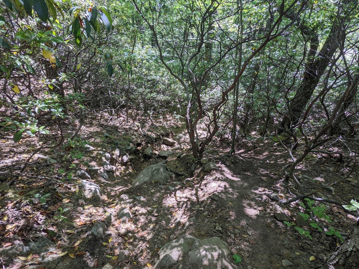
It's kind of easy to get off trail when it looks a lot like this everywhere you turn and you can't seem to locate the blaze.
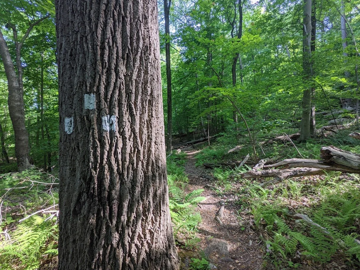
Thankfully, the blazes are distinct
So even when the trail gets a little lost in the terrain, you know you're where you should be
WHEW! That section was super steep! My legs were burning!
And there was a bit more to go, but first...
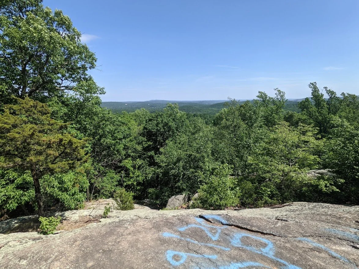
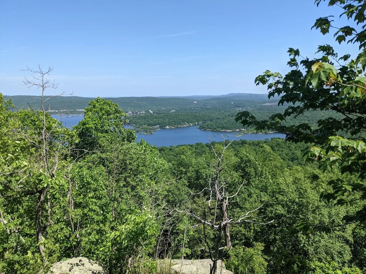
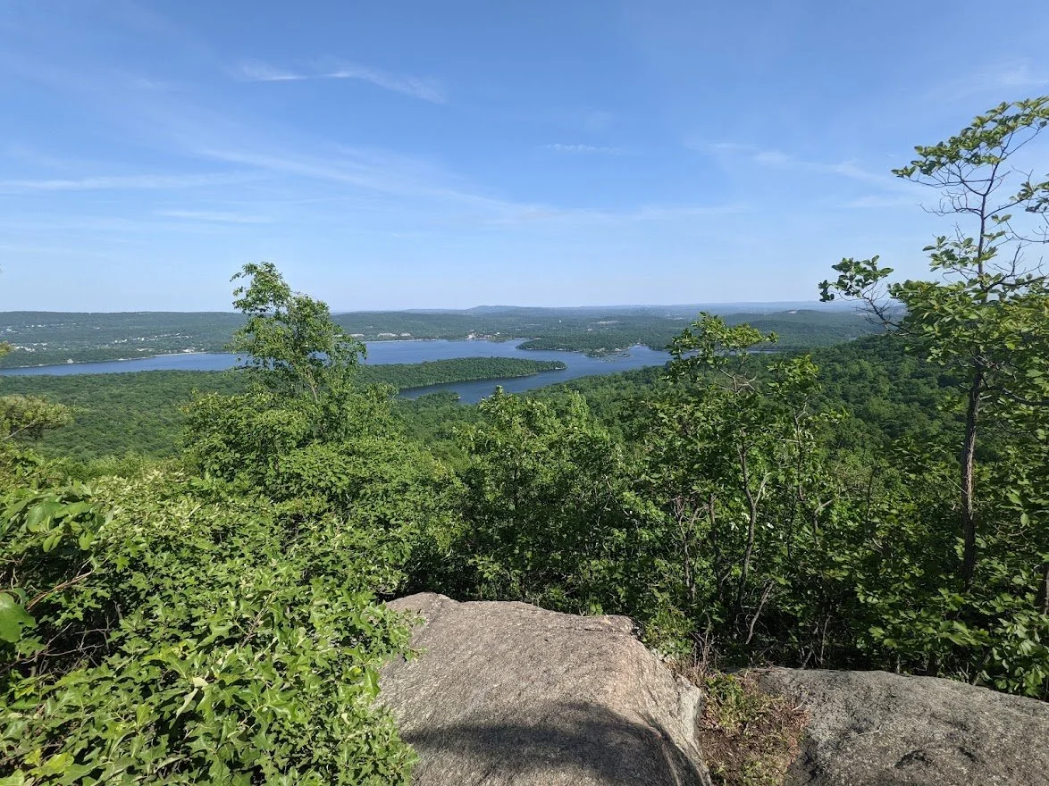
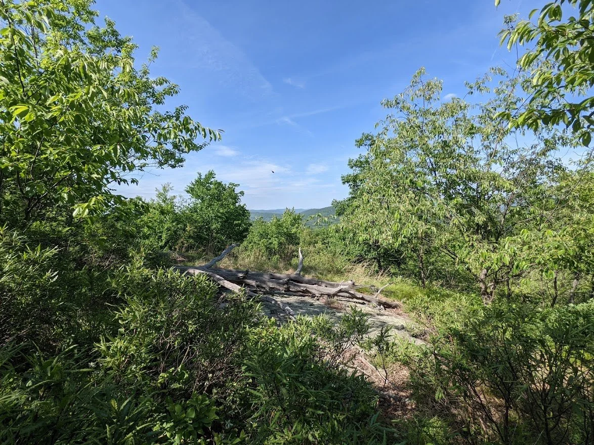
THE VIEW!
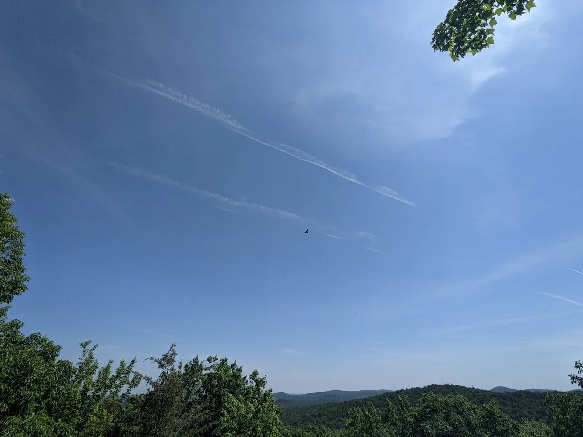
The hawks were soaring about despite the heat
More beautiful views of everything that lay before you
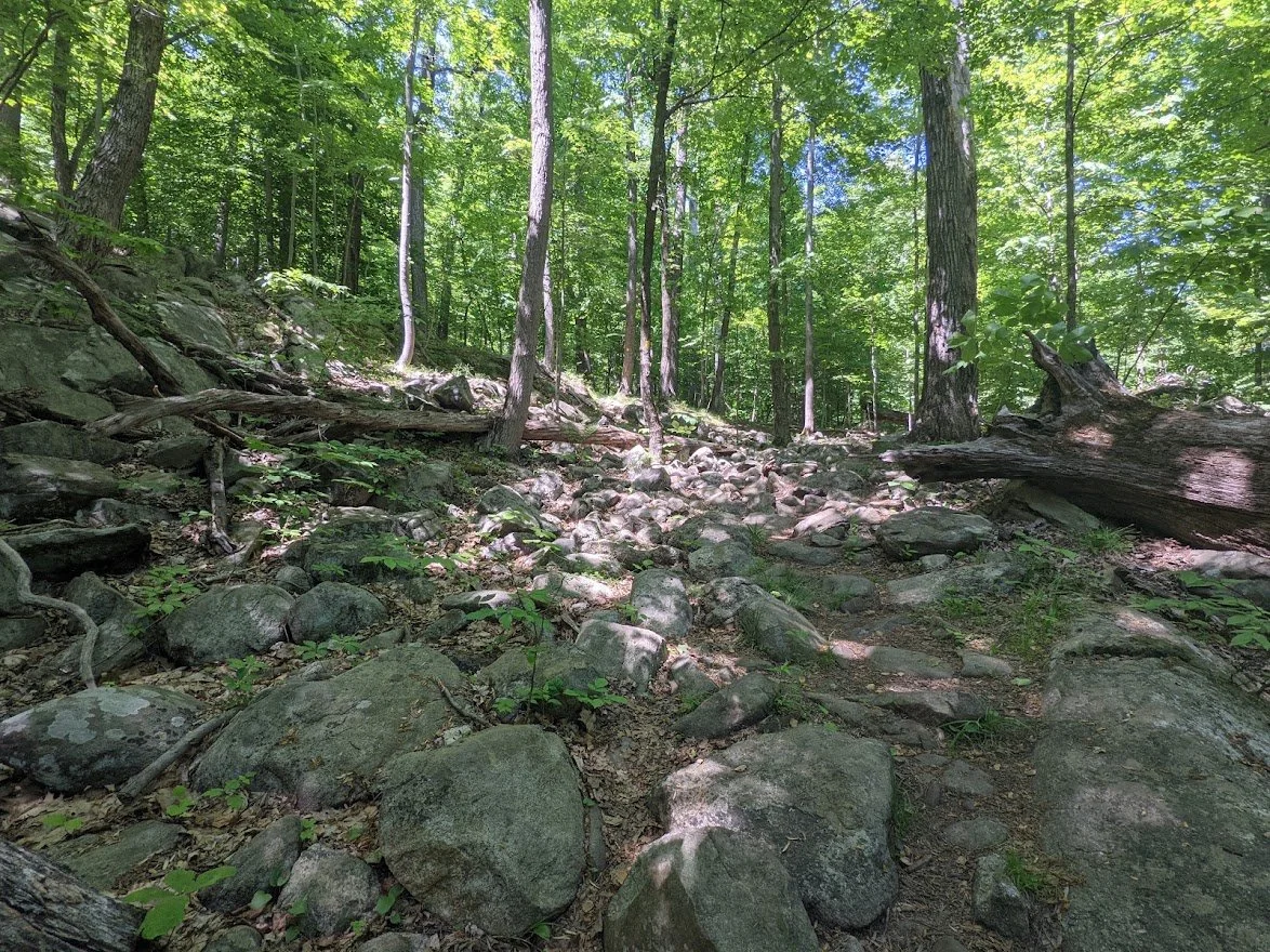
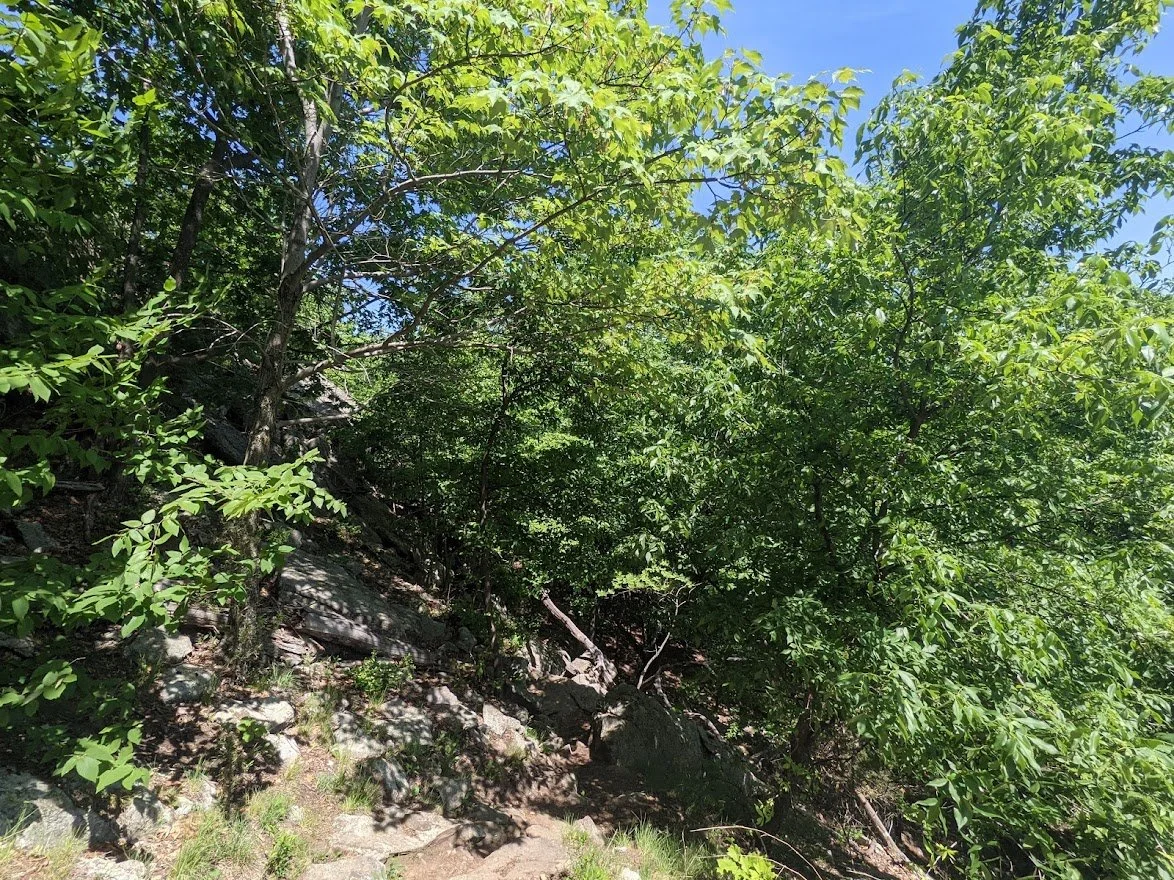
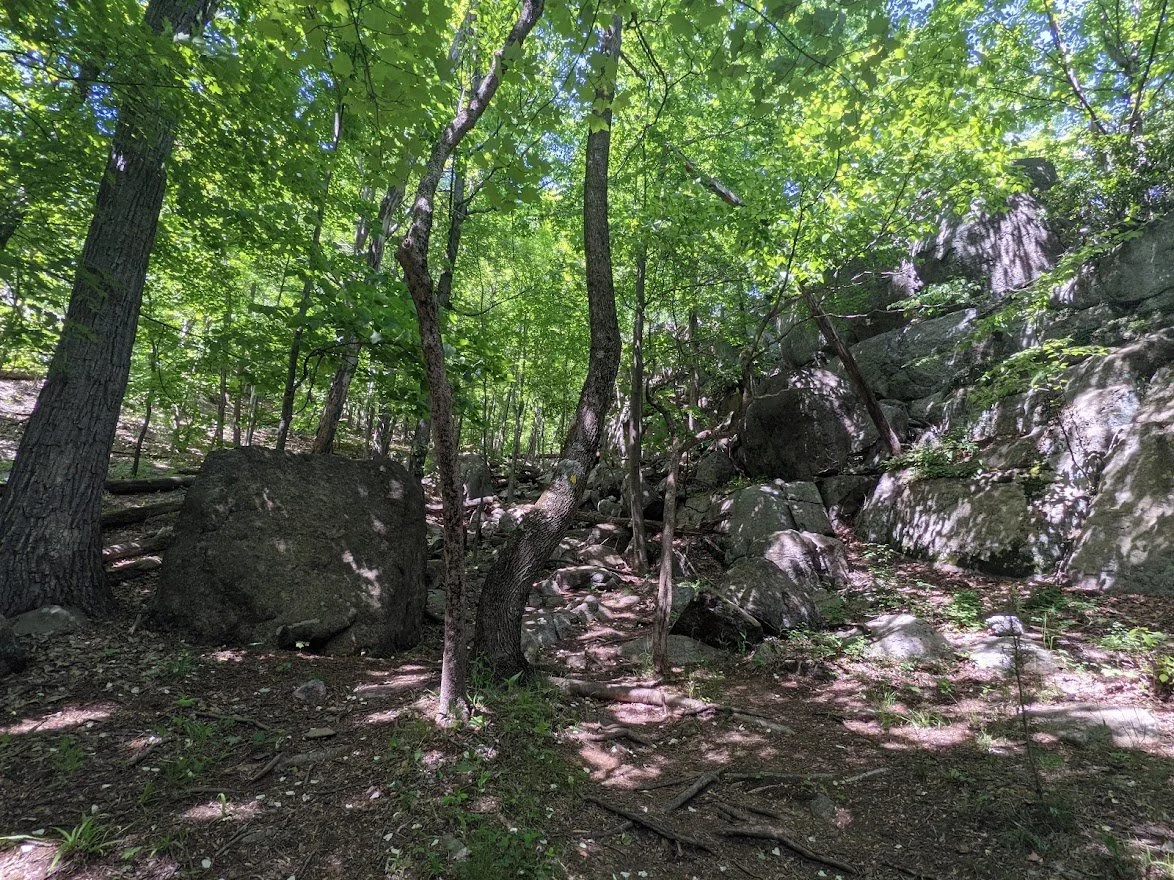
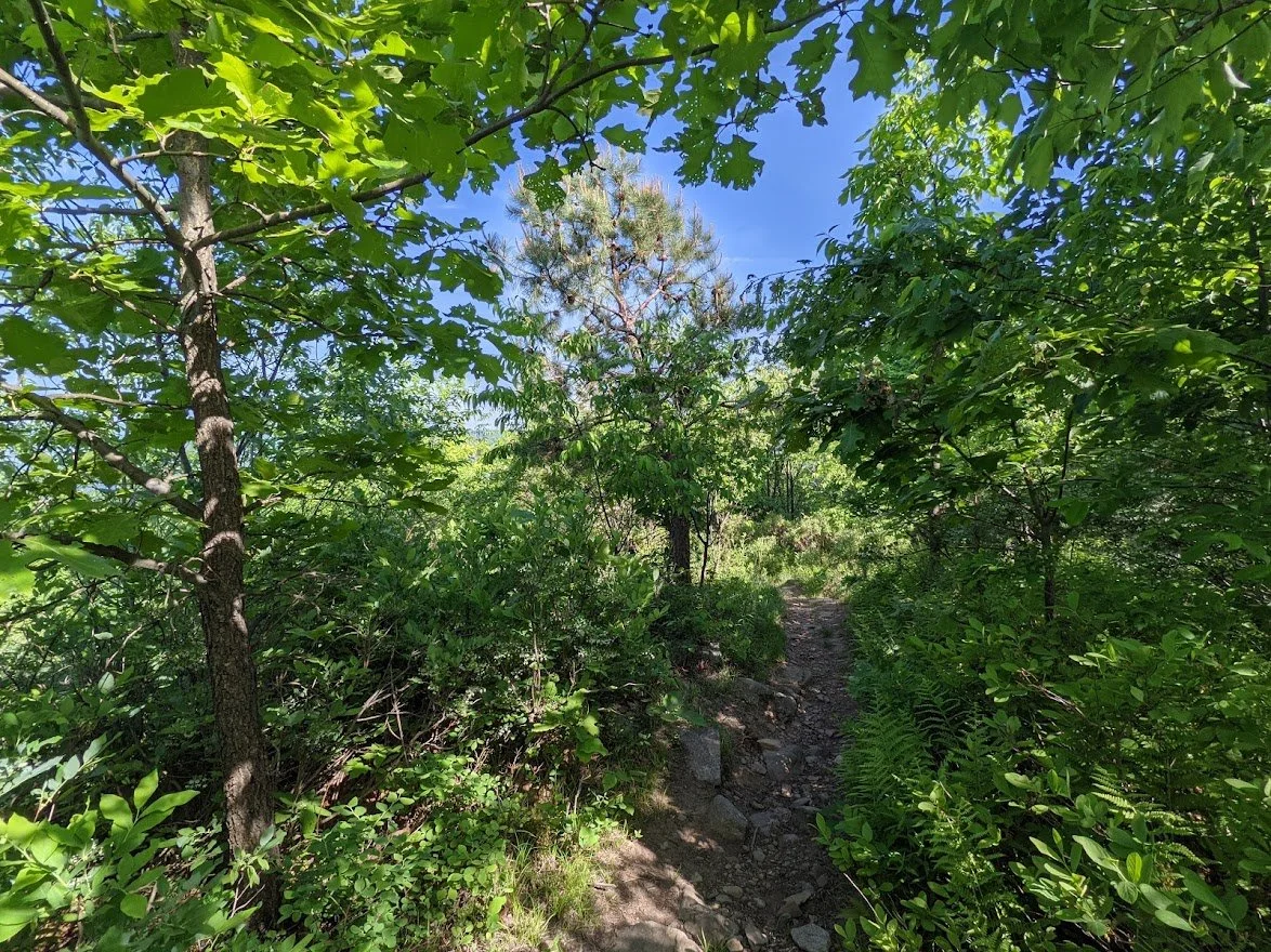
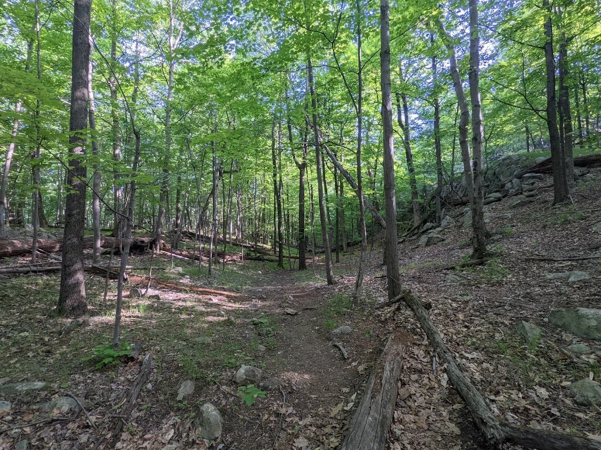
And then it's back to the forest and the climbing and the rocky trail.
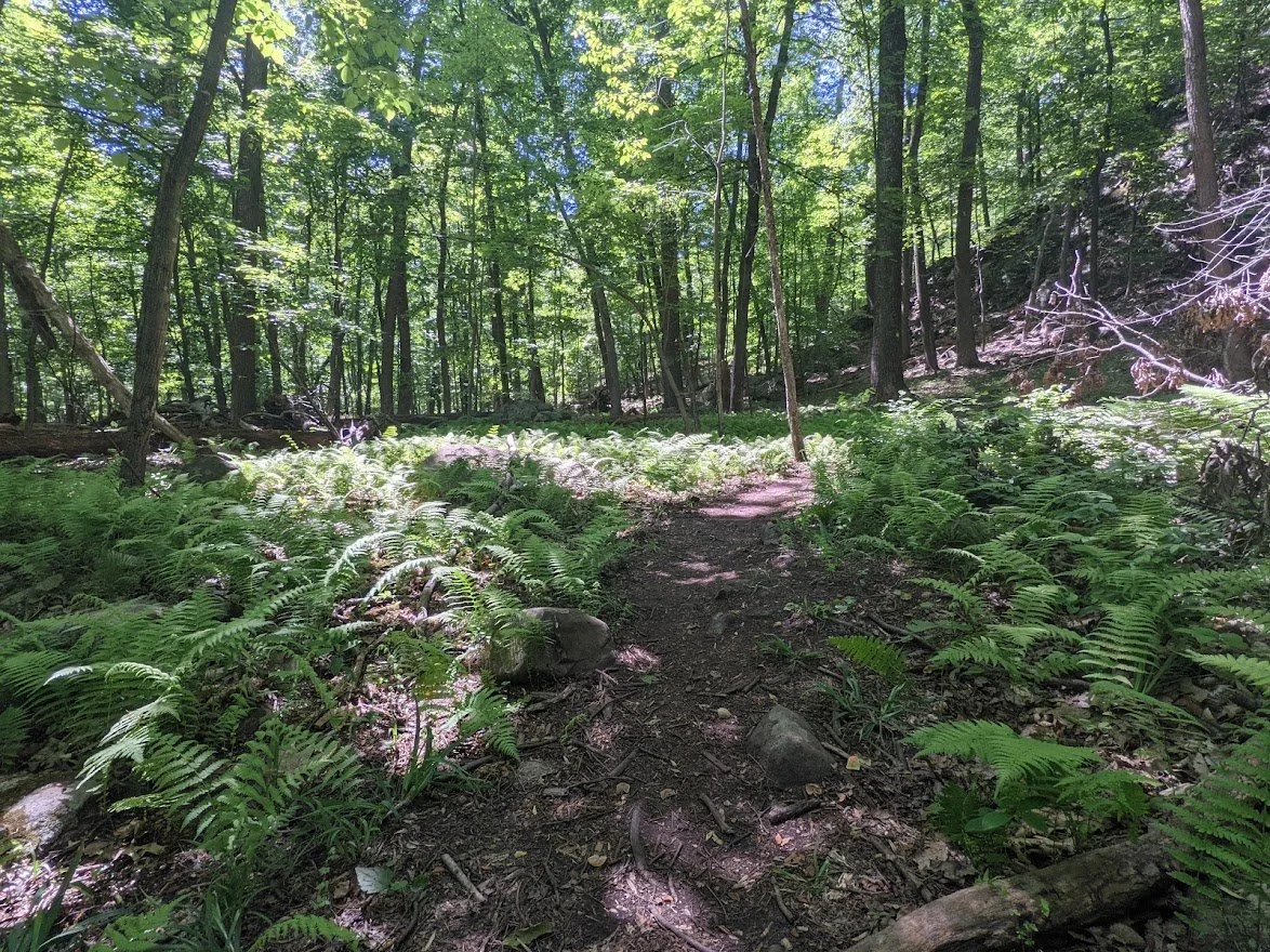
You'll hit a short stretch of trail that isn't rocky here and there and relish in how quickly you can move!
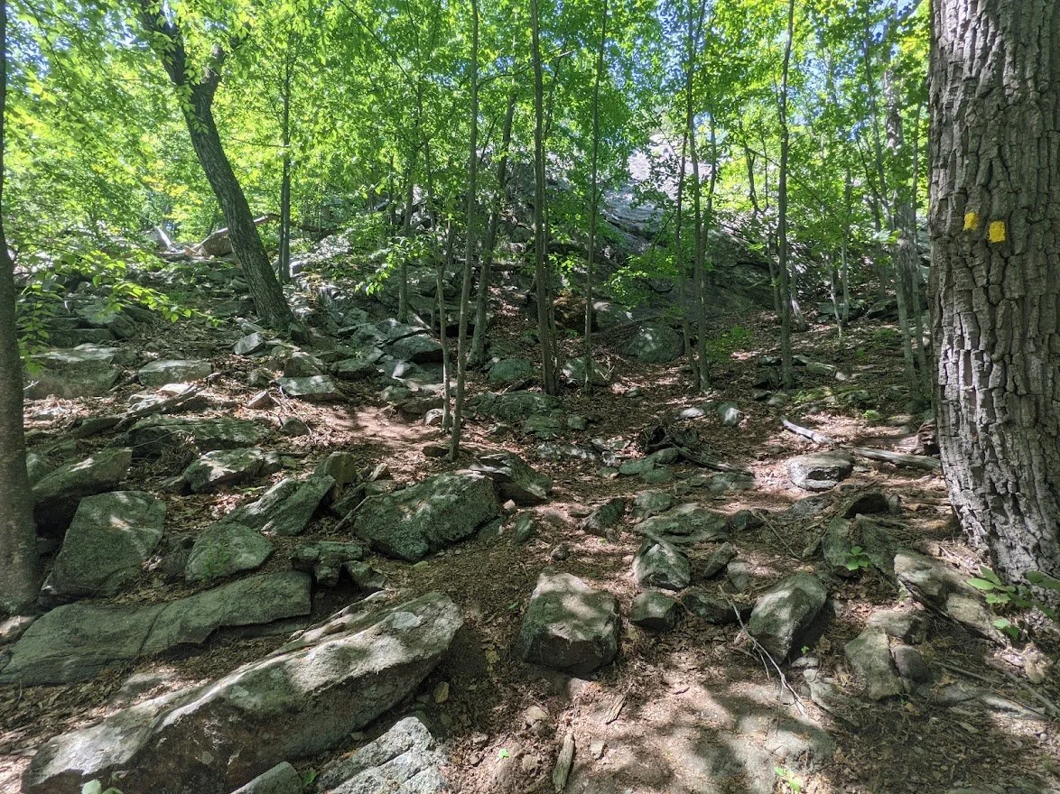
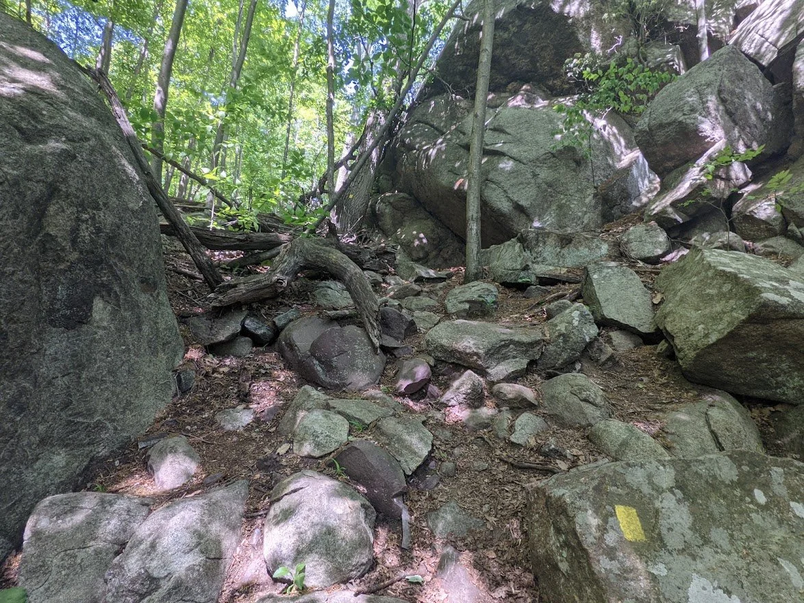
Aaaaand then it gets rocky again...

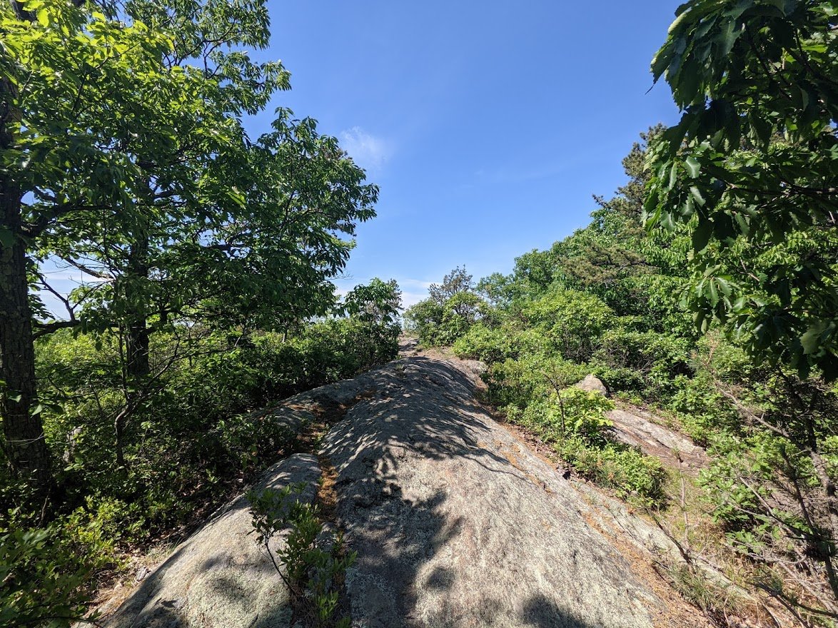
Yes, that really IS the trail!
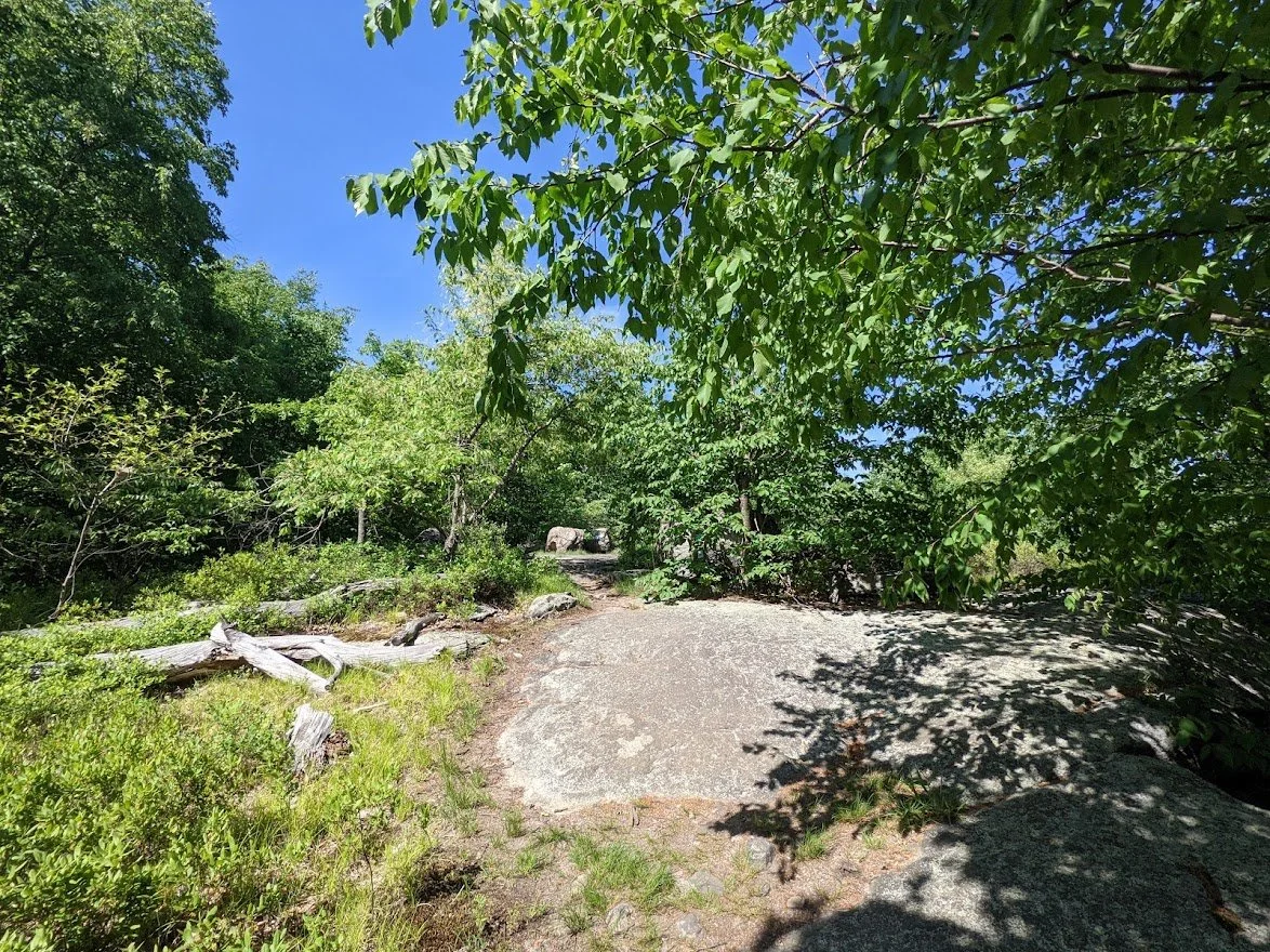
You know you're getting near a view point when beyond the trees all you see is blue sky
So you don't mind the climbing
And the climbing
Ah, yes, there it is!
Such a pretty view but... we still have more climbing to do!
And you thought we were done!
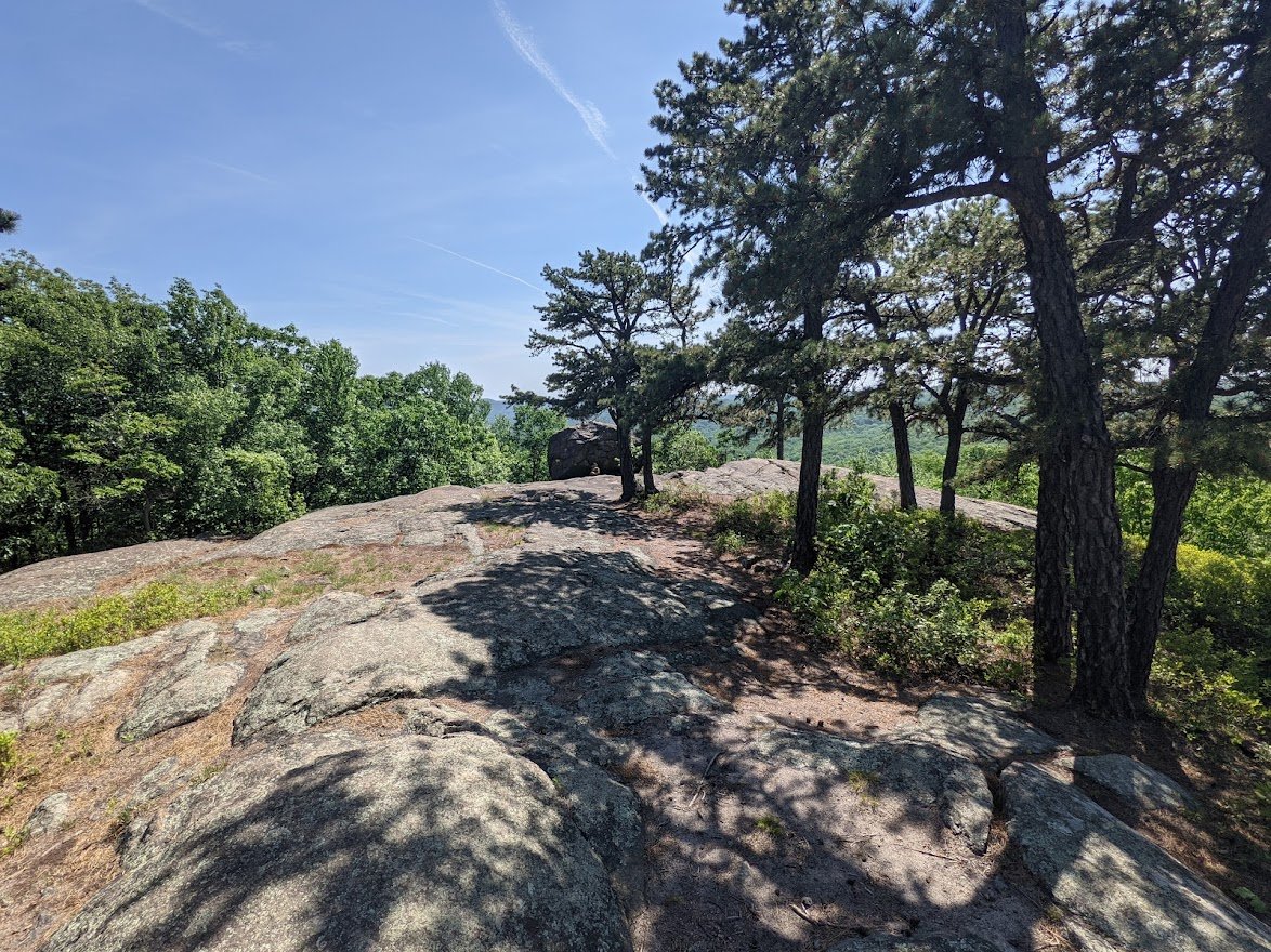
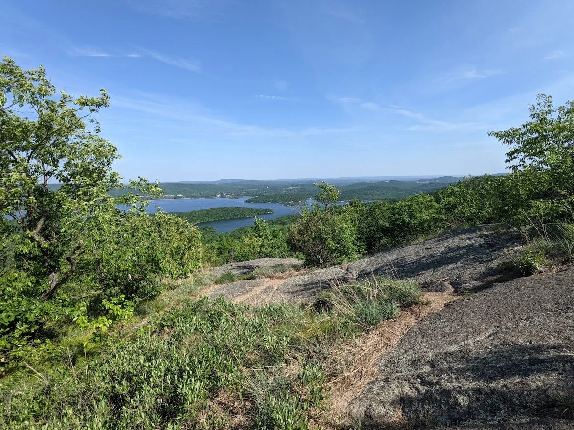
This is view 1 of 3
There are three scenic views in rapid succession as you reach the top of Carris Hill. And when I say "rapid" I do mean that in hiker terms, which means you've got to hike your way from one to the next.
View 1 of 3
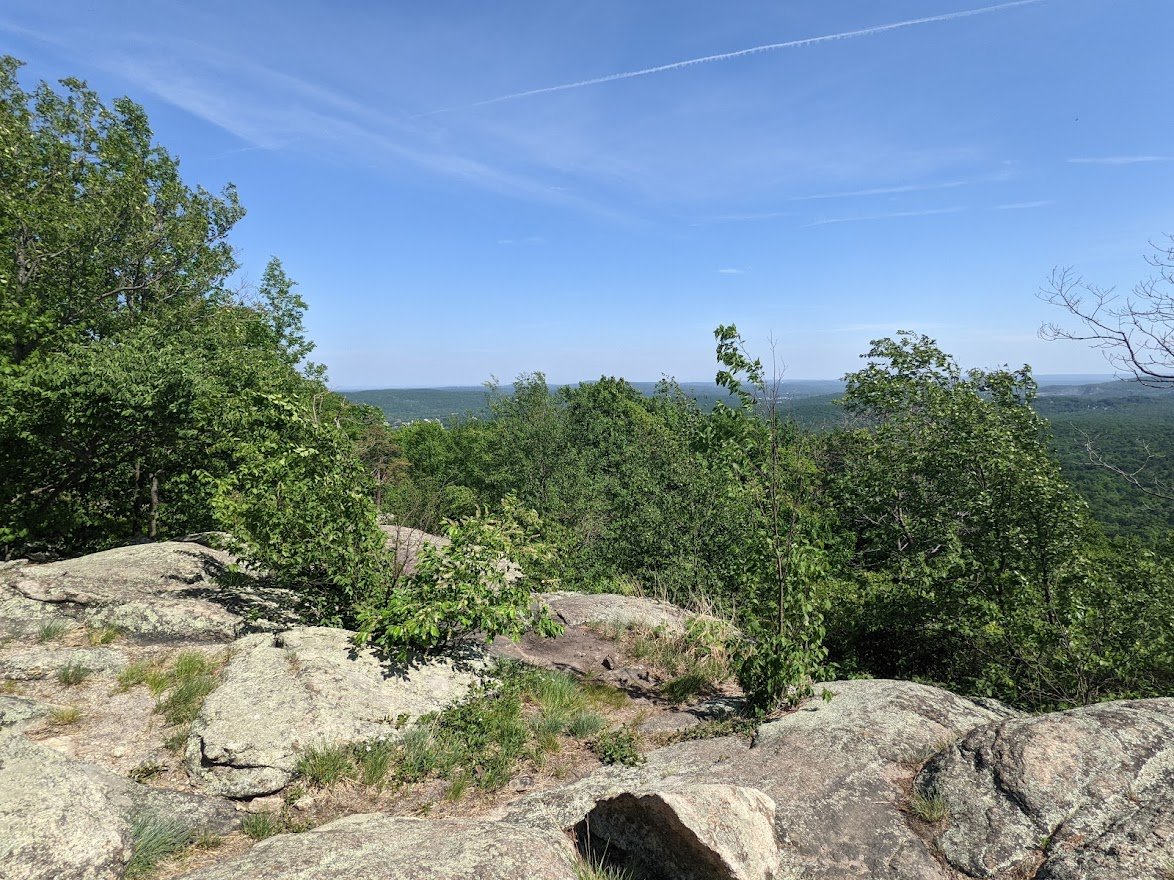
View 1 of 3
More hiking to the top of Carris HIll
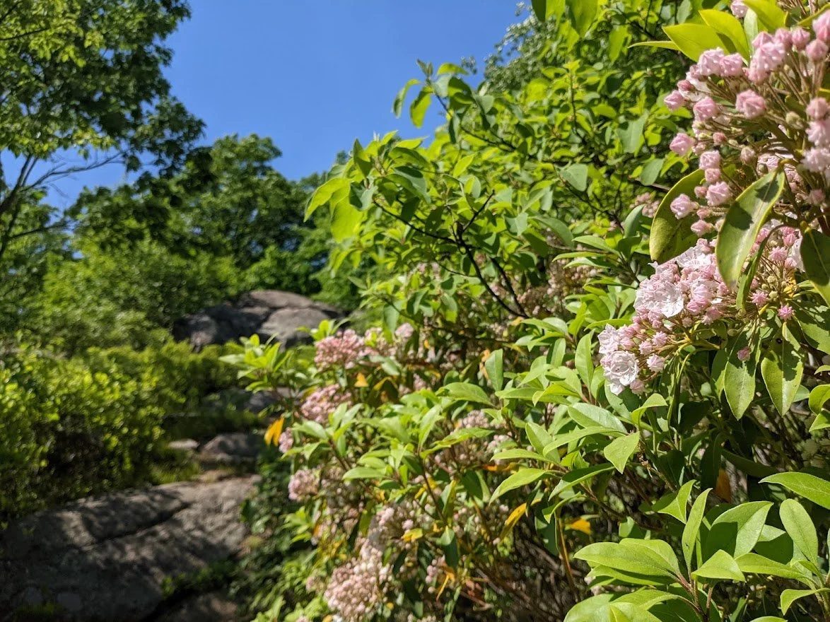
With pretty mountain laurels along the way

View 2 of 3
View 2 of 3
More climbing, but I swear... we're nearly there!
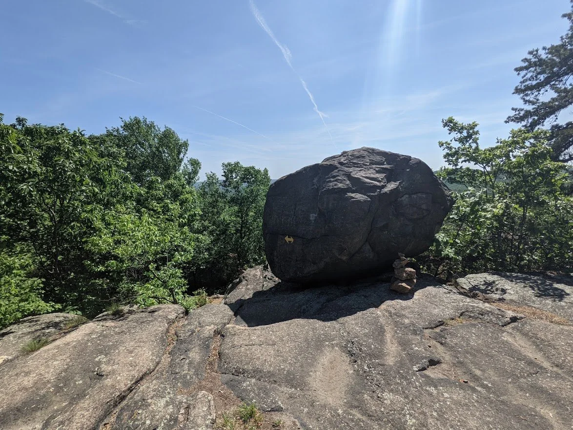
Be more erratic!
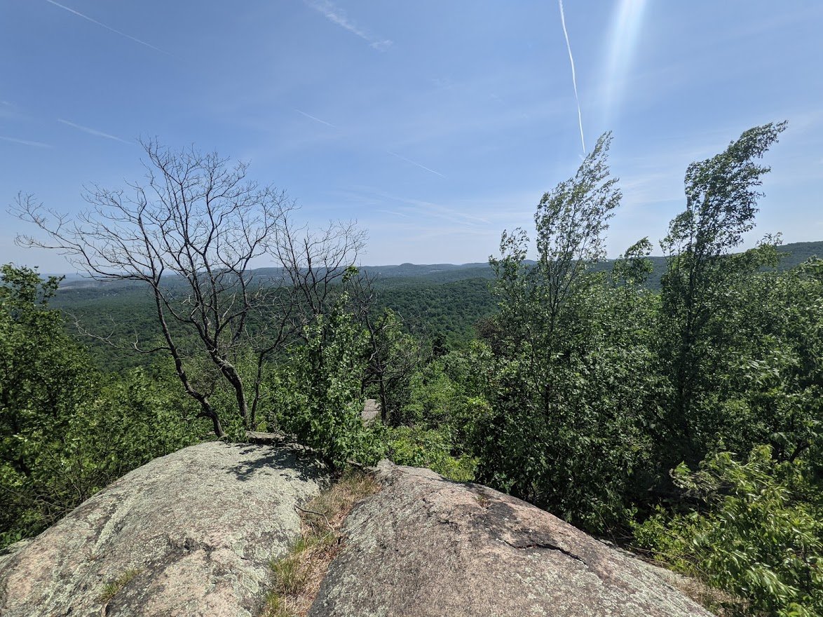
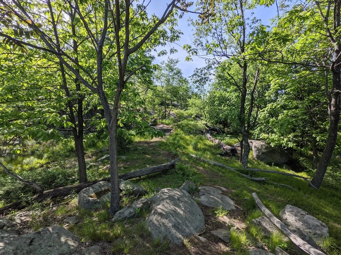
YAY! Made it to the top! I wonder which way the wind blows??
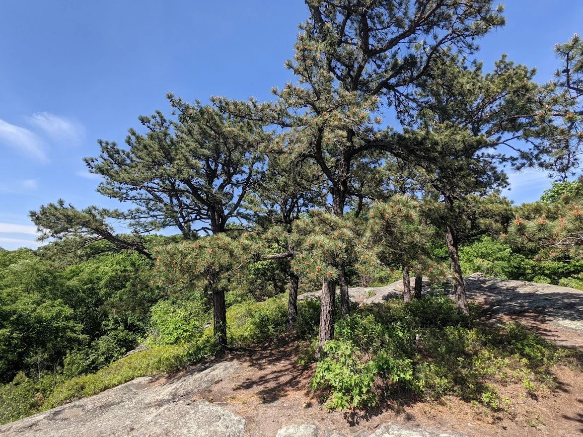
Top of Carris Hill
Top of Carris Hill
Top of Carris Hill

That's the end of the trail with the final view

Aaaaaand now down the steep descent of the Hewitt-Butler/Highlands Trail.
I've done this bit before
There is a lot of hiking from here to Wyanokie High Point still... which means...? MORE CLIMBING.

A little peek-a-boo view here and there.

I saw more snakes than people. They like to sun themselves on the warm rock.

OH LOOK! IT'S YOO HOO POINT! I mean... this is the view of Wyanokie High Point from Yoo Hoo Point. YOOOOO HOOOOO!!!

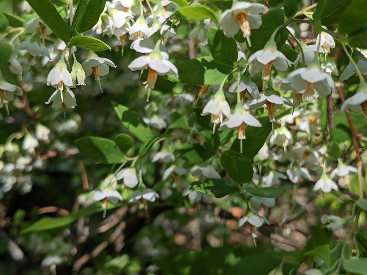
Gooseberry flowers
On my way up to Wyanokie High Point

Via the Hewitt-Butler/Highlands Trail
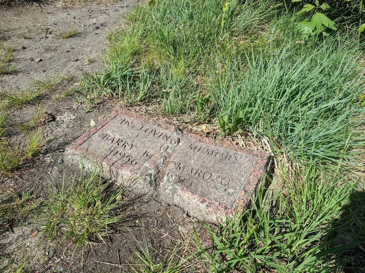
Interesting plaque on the top of Wyanokie Point
And then there is the view. Which you can access from many different paths.
I wish I could say that this was all the climbing I would do.... but despite the fact that it is the high point, I'lll still dbl my total elevation on the way down.
Still, that view makes the effort worthwhile
Starting the descent. It does it little bit of switch backing. I wish there had been more views on the way down.
Just a few peek-a-boo views like this one, though
And it only takes a few minutes before the view disappears entirely

This viewpoint is unmarked and off trail just a smidge
The path that leads to that view
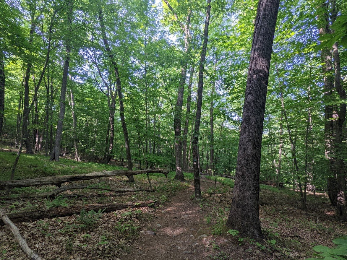
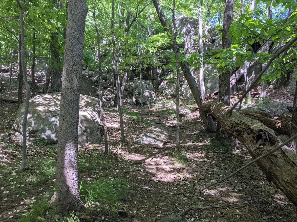
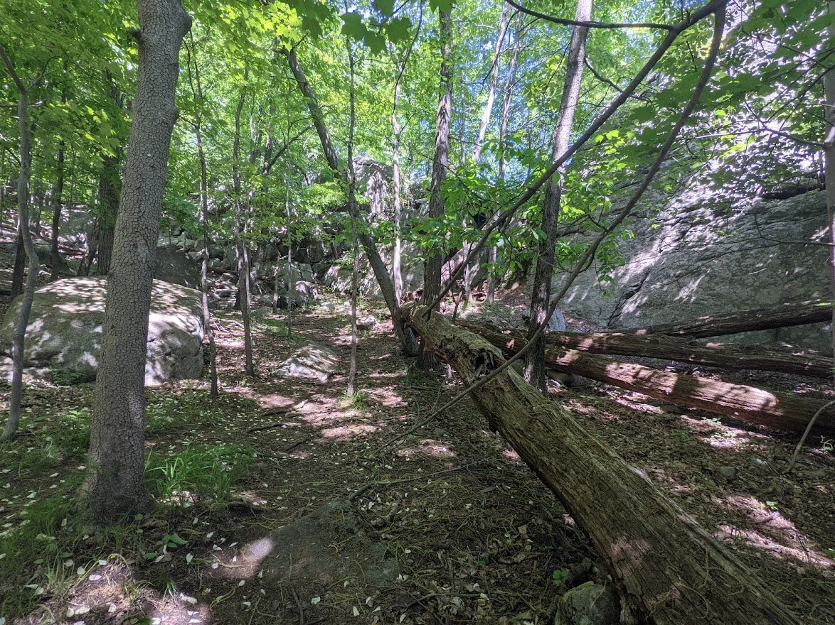
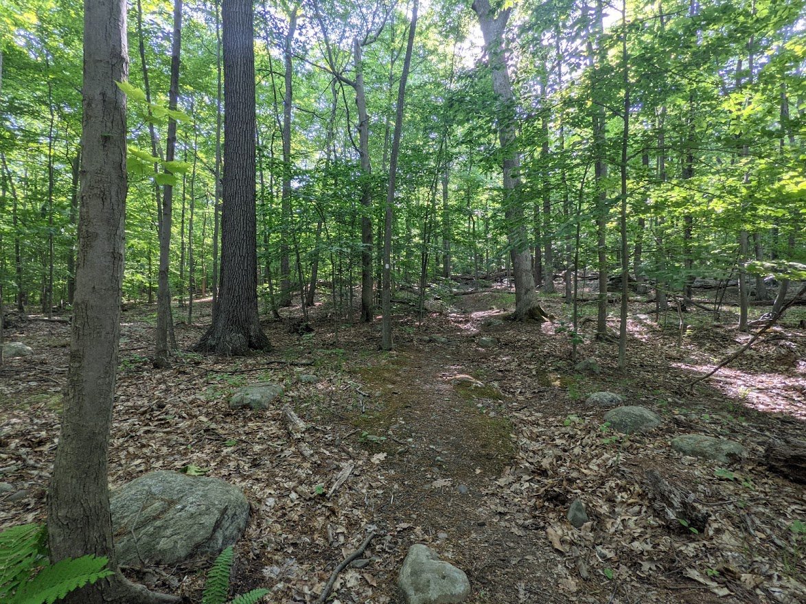
Meanwhile, back in the forest... you descend dramatically at first, and then the ups and downs start again.
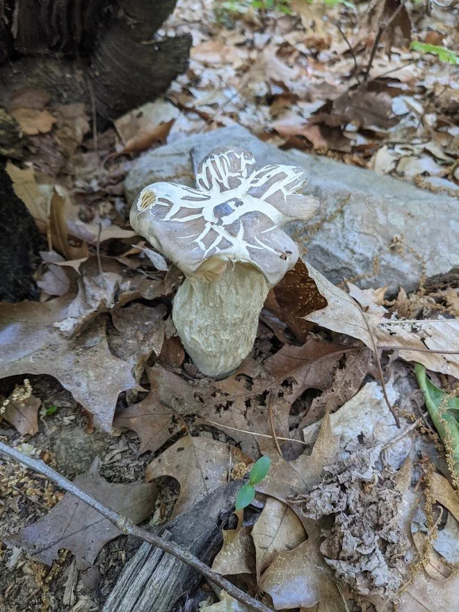
But at least there was a fungi to keep me entertained.
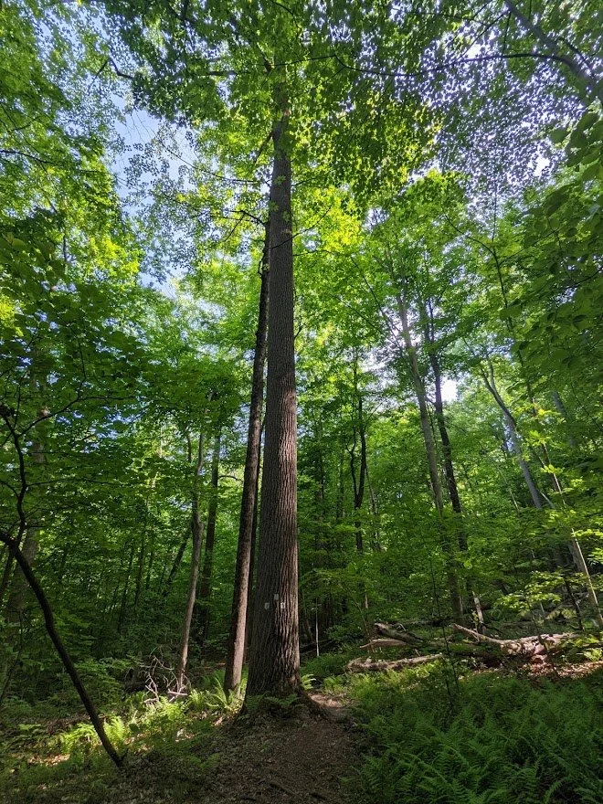
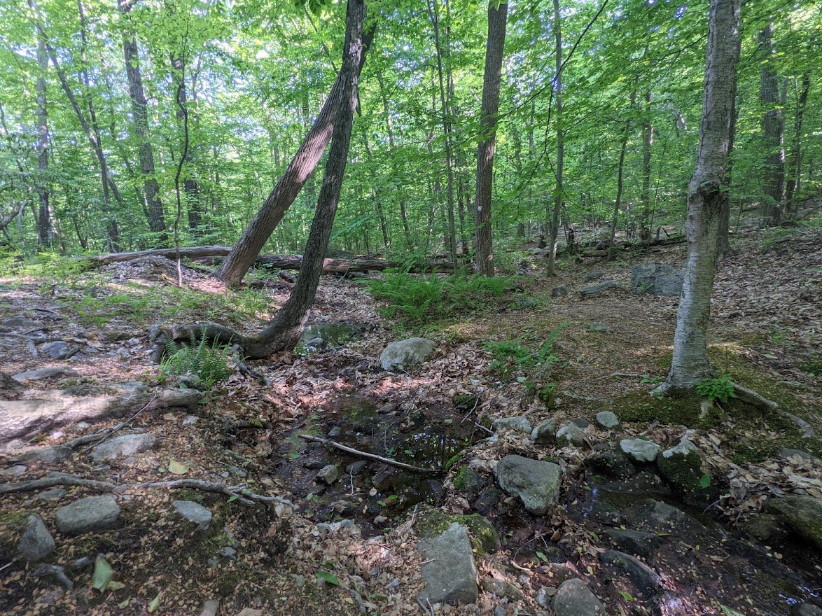
Look at the size of that tree!!! This is around the point where I dropped my map.
I remember getting the the lower trailhead and looking for my map and thinking, "Wait... what the...?" I had no idea what to expect without a map to follow.
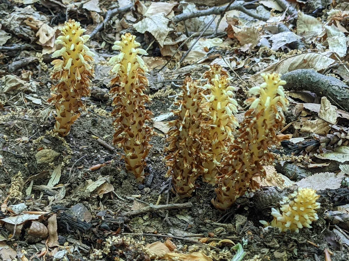
At least I had a bunch of really fungis to keep me entertained.
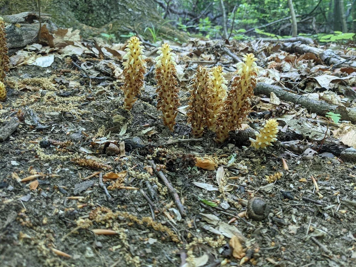
REALLY fungi
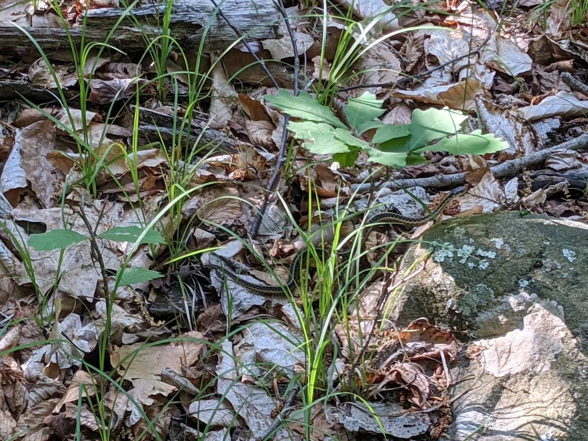
Eastern garter snake not sunning himself. He was just chillin' there, looking at me.
This is around the point where I became frustrated. I had the avenza map on my phone, which I could follow, but it has no contour lines, so I wasn't sure what to really expect. The ups and downs felt endless and a few times I couldn't find trail marker.
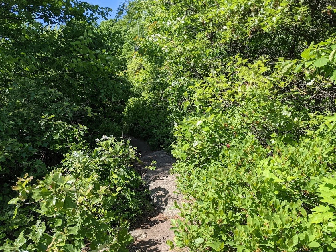
I came upon a very muddy section of the Lower
I didn't think it was marked well and the trail was not obvious
But eventually I found my way
The last half mile or so of the Lower felt longer than it was - probably because of map situation.
It just felt like endless trail
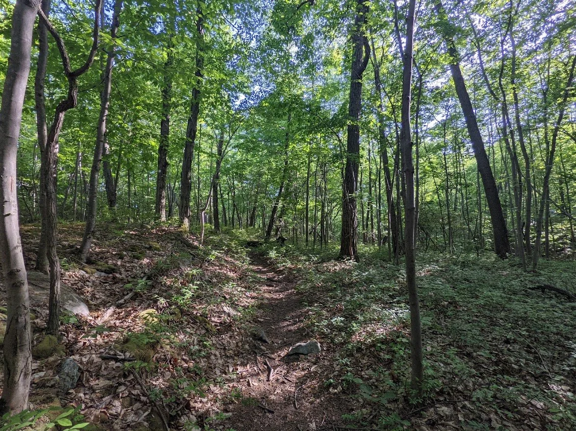
This was the last smidge of sunlight on the Lower. It was a very dark trail, I have to say, mostly in thick forest that felt creepy because it let in very little light

After a steep-ish final descent I finally made it to the end of the Lower trail.
And back I went past Chikahoki Fall the way I came via the Chikahokie fire road. I didn't bother photographing any of it. I just hauled as fast as I could to get back to the car. I was hungry!!!

This was the approximate location with the exact image I used on Instagram when my map was located.