
Where am I going?
Highlight Hiker Blog
April 6, 2021
North Jersey District Water Supply Commission & Long Pond Ironworks, Board Mountain and the Highlands Trail
The weather was perfect. It was going to get warm, the sun was shining, and I was ready for a big challenge. So I opted to climb not just one mountain, but two: Board Mountain and Harrison Mountain. Easily connected by the Highlands Trail and a short road walk, this loop was monstrous and simple all at the same time.
Back at home, for a few weeks prior to this hike we had a problem with our boiler. Now, hang in there with me because it does relate to this hike. Yeah, boiler trouble. It was sooty. We had PSE&G come to fix it, but what we didn’t realize was that the soot was coming up from the basement into other areas of the house and we were all breathing it in. My sinuses had been bothering me, but I just figured it was spring allergies, and let it go. But I had a tough time getting up these two mountains. My legs were fine, but I had to stop because my heart rate was really high and I was breathing really hard. I actually said to myself, either these climbs are really difficult, or I’m out of shape! Well, more than likely yes - it was a little from column A and a little from column B, but my lungs had definitely been impacted by the soot we were breathing in for weeks. And it was evident the next morning when I felt like I had stressed my chest wall from breathing so heavily for an extended period of time.
Now that the boiler has been repaired and no longer spewing soot into the air, I’m feeling much better and have been able to climb without that pain and agony. But at the time I was seriously wondering how I ever expected to do any kind of long distance hiking if I couldn’t climb 1400’ without feeling like my lungs were going to explode.
But at the time I had no idea that it was the cause of a problem that I hadn’t anticipated.
So I just kept climbing.
Because I’m stubborn.
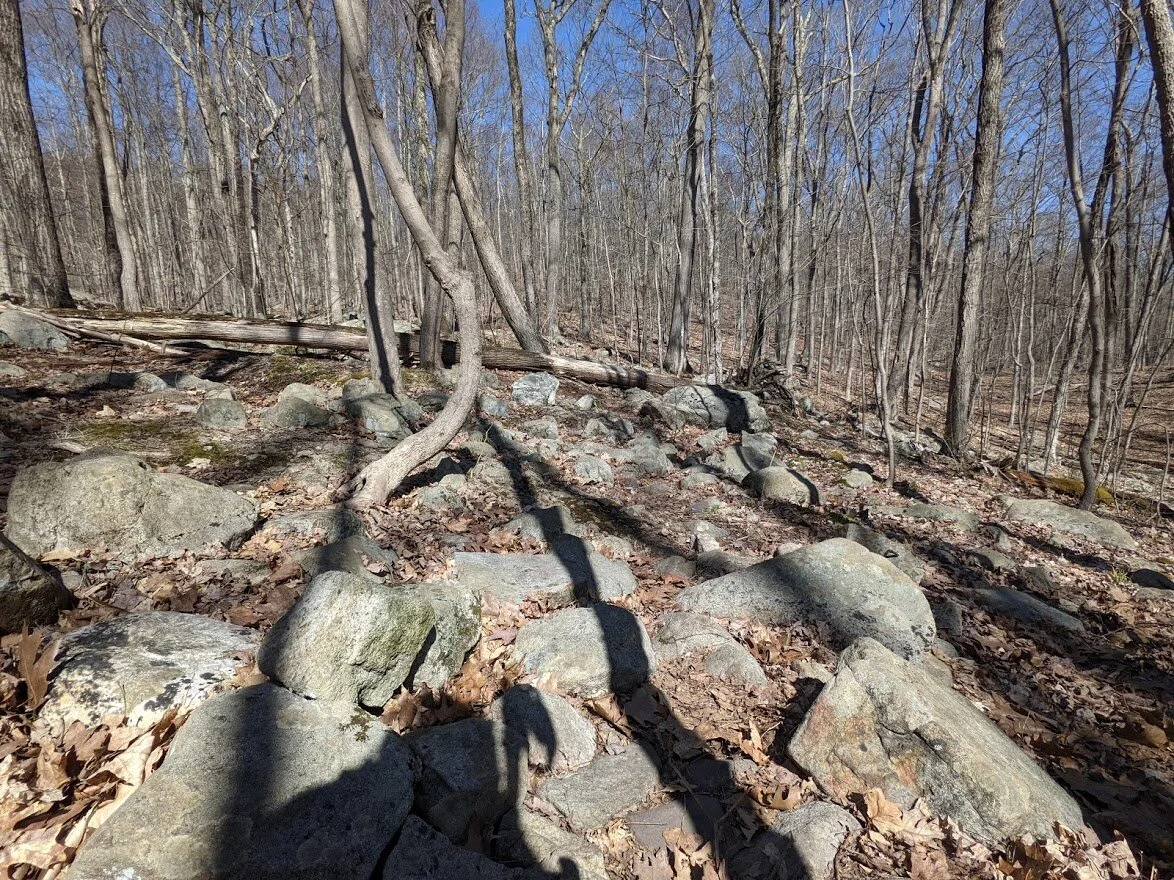
Despite my limitations, I have to say that these climbs are really challenging. I’ve read reviews and there are a lot of hikers who say that these are moderate trails and “I don’t see why everyone thinks they are hard!” Ummm… because they are, darling. They REALLY are. You could be fit and trim, well footed and young and the climb would still be steep and constant and challenging. Board Mountain is coupled with unstable terrain: loose rocks the size of your fist lie in wait, while over on Harrison Mountain, the climb doesn’t end for almost a mile.
These two hikes are directly on par with the State Line trail in Abram S. Hewitt State Forest. If you want to overload your legs, take these two climbs back to back. They are a fantastic work out.
Between the two, however, is the most glorious valley and best terrain around. There were times where I stopped just to admire the fact there wasn’t a single rock or root in sight in front of me as far as the eye could see. It’s really spectacular. Of course, there are rocks and roots… this is New Jersey, after all. But the length of sweet, sweet, hard pack double wide trail is longer than usual in the Highlands.
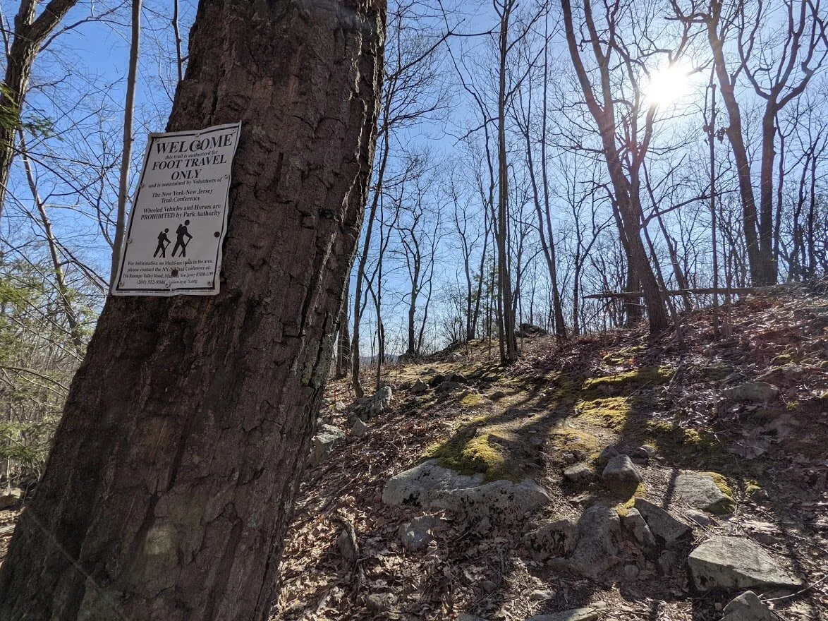
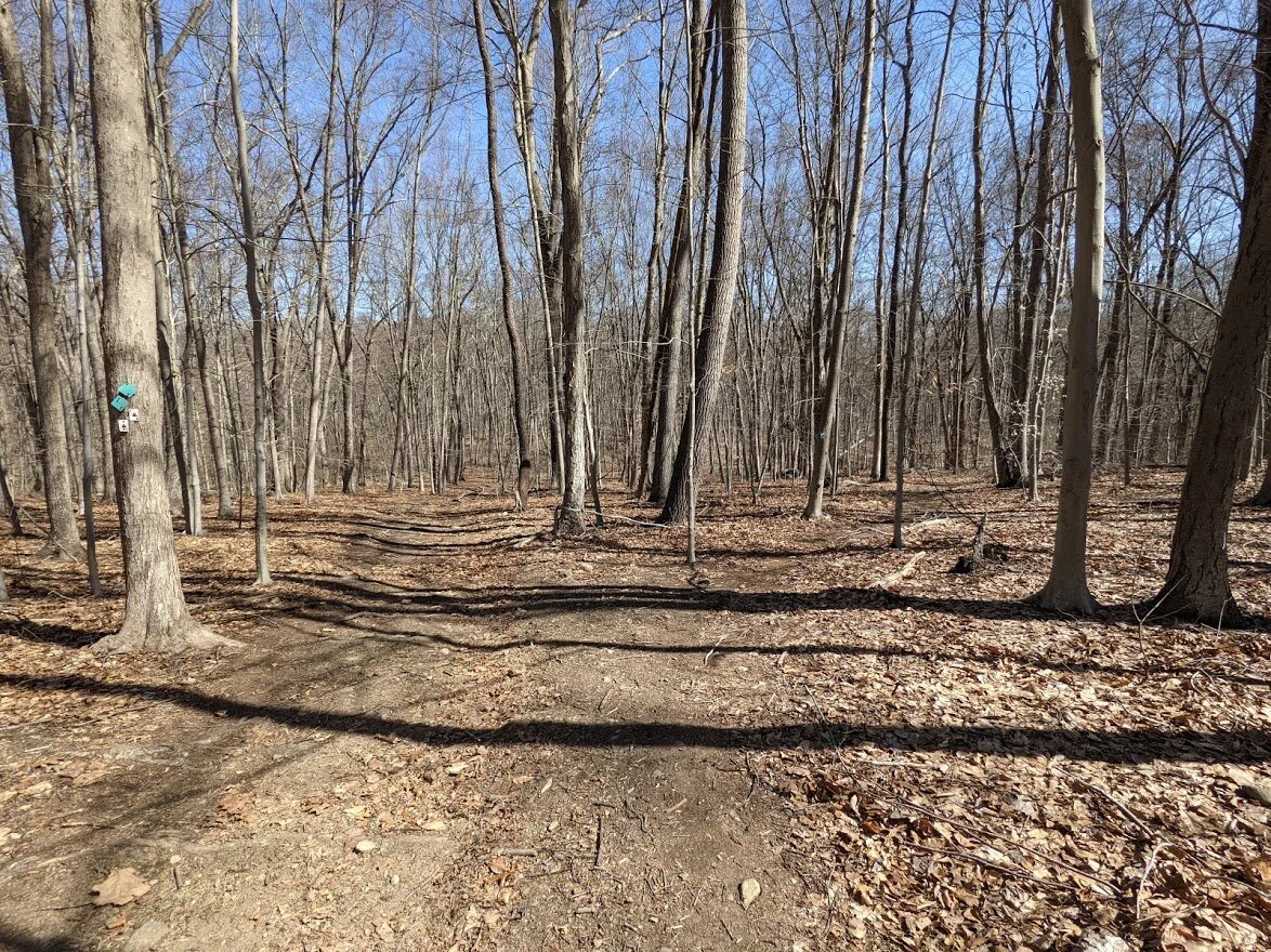
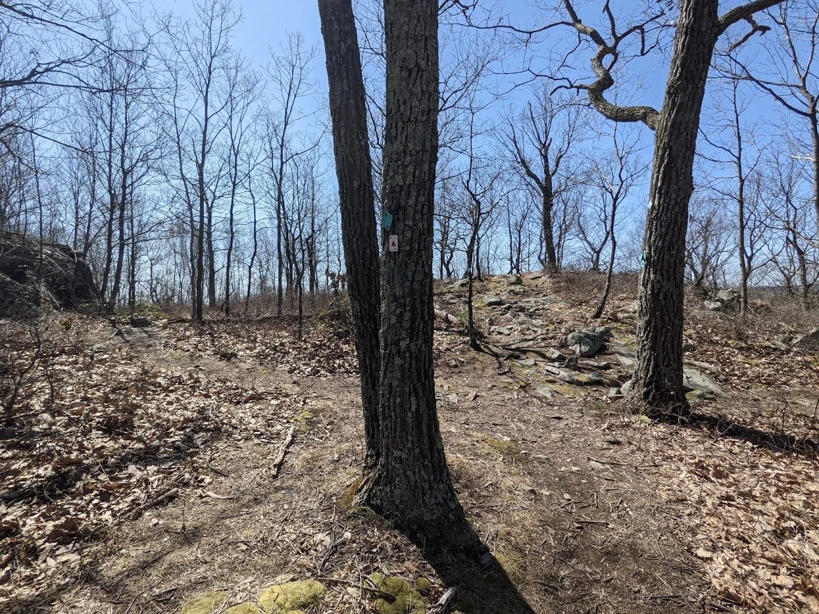
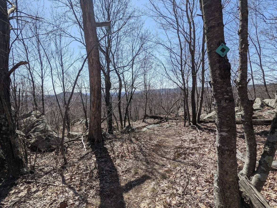
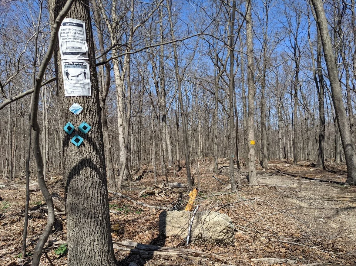
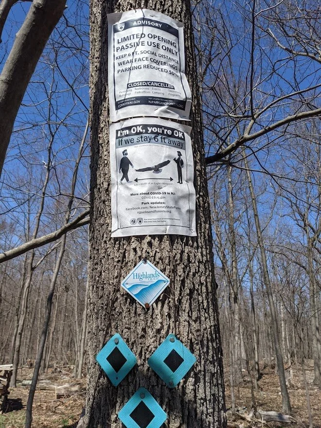
Speaking of Highlands… outside of the two spurs that took me in and out of the trail, I stayed on the Highlands Trail (teal blaze), which shares it’s track with the Stonetown Circular. But to make it less confusing, I’m just going to call it the Highlands Trail, since that is the primary blaze.
You remember how much I love this trail, right? It’s always a surprise: when I think it’s going to be wicked, it’s easy and when I think it’ll be a breeze, it’s nasty. So I come to the Highlands with an open mind and ready to handle whatever it throws at me. You have to be adaptable when you’re hiking the Highlands.
When you look at the NY/NJ Trail Conference map #115, you see the contour lines of this hike are pretty close together on Board Mountain, meaning it’s steeper than most. The contour lines don’t look nearly as close on Harrison, yet I thought Harrison was the more significant challenge of the two: both up and down.
Good thing I’m bull headed enough to not give up. Just one slow foot fall after another - plodding up the hill, panting. Eventually I made it.
I probably should have used trekking poles for the climb of both mountains, but I only used them on the steep descents. I would not want to descend Board Mountain without them, and I wouldn’t think of tackling Board Mountain on rainy days when the rock is slick. No, no and nope!
However, I do want to tackle them both again, because of the circumstances of my breathing, to see if it’s better the second time around. And I’ll have that chance: I have two missing sections of the Highlands both to the north and the south of these two mountains, and the only way to get reach those missing pieces is back up.
But it was a beautiful day and I was feeling exuberant. As spring comes in, my joy has flushed, alongside the trees.
North Jersey District Water Supply Commission and Long Pond Ironworks
Highlands Trail - Board Mountain and Harrison Mountain

Total Mileage:
5.54 miles
Total Elevation:
1,434 feet
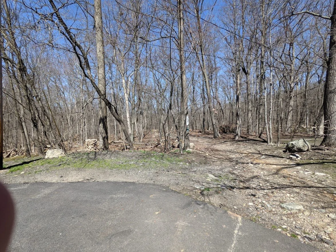
I started out early, parking on the side of White Road off Stonetown Road. There is only enough parking for a few cars. I didn't photograph the parking area because there are several homes here and I wanted to respect their privacy.
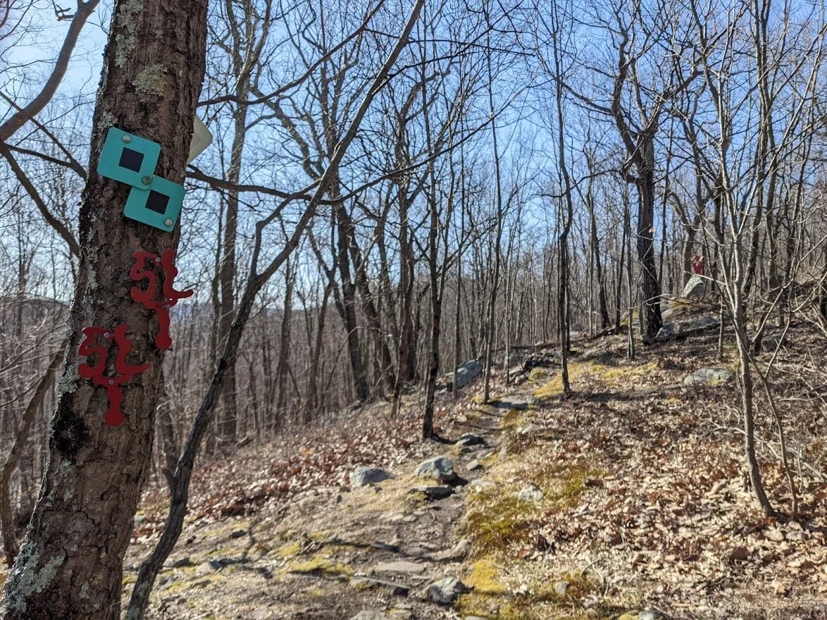
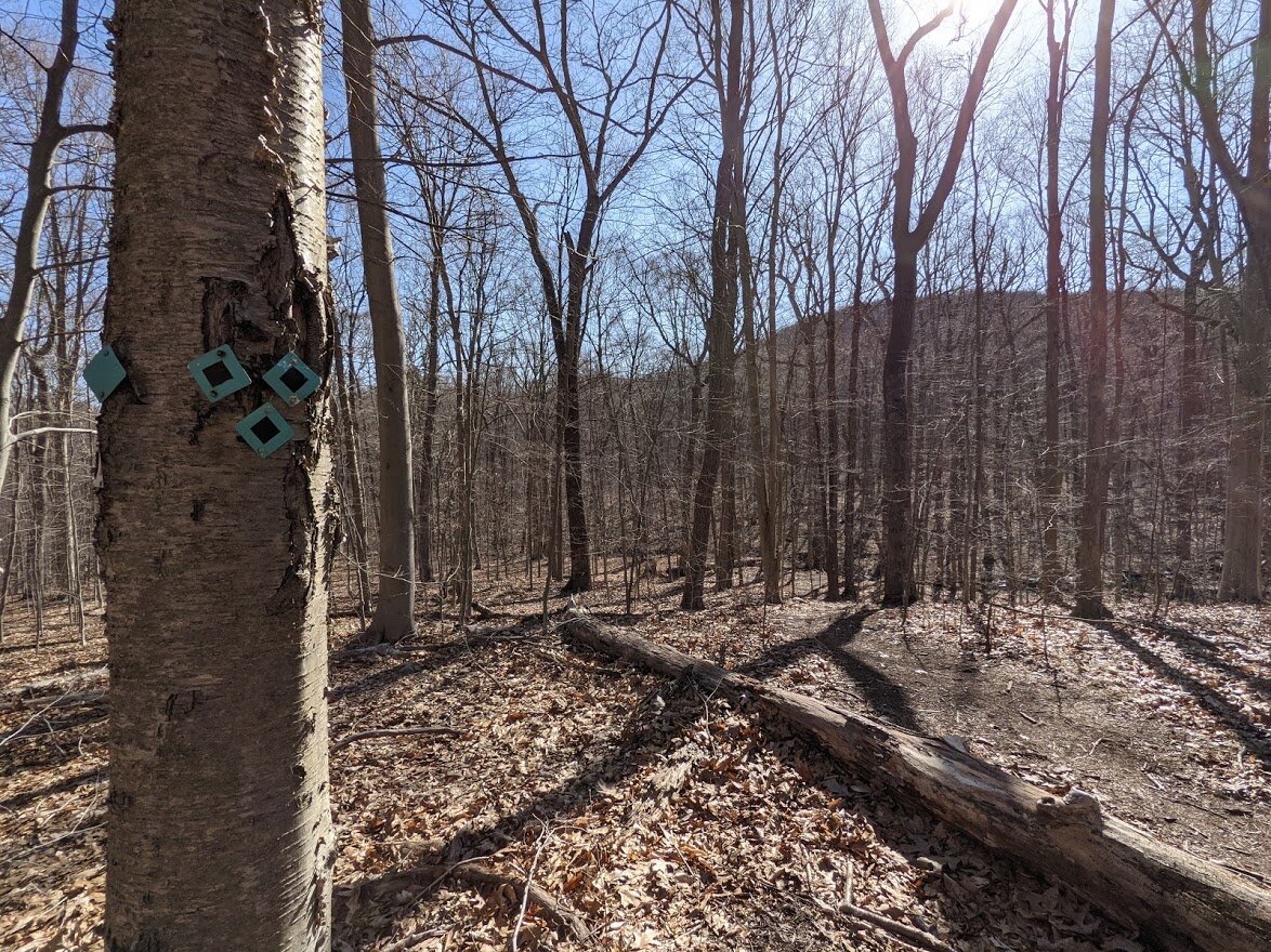
This red trail marker is really interesting, no? I have no idea what it is, but it is a clearly blazed trail. Not on my map, and my research hasn't turned up any results. But it seems to be an art related trail....???
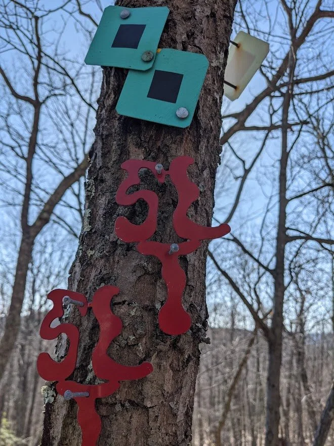
The markers themselves are little works of art.
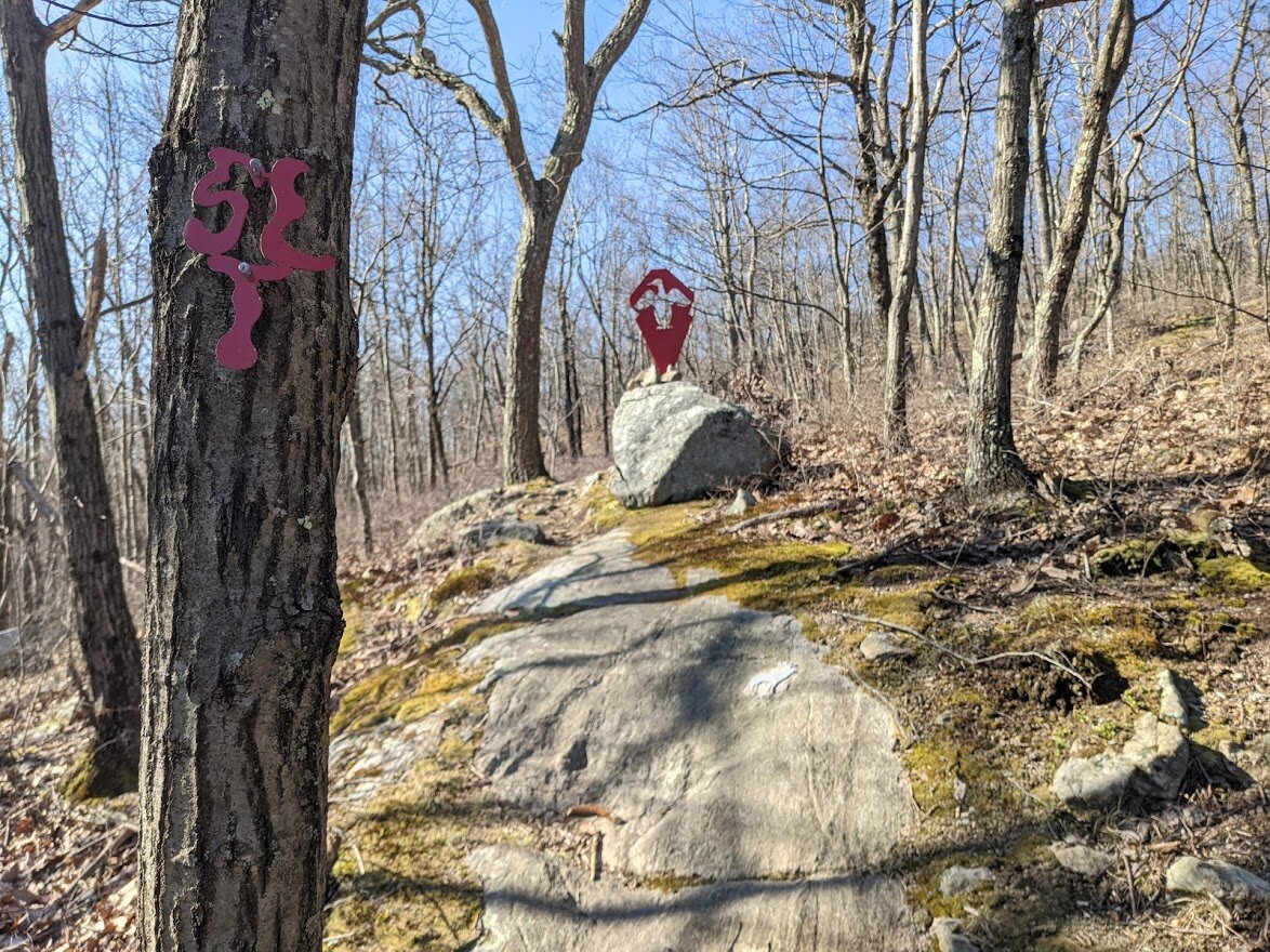
This unknown trail parts from the spur quickly after you meet it. The first thing I saw were these metal sculptures.
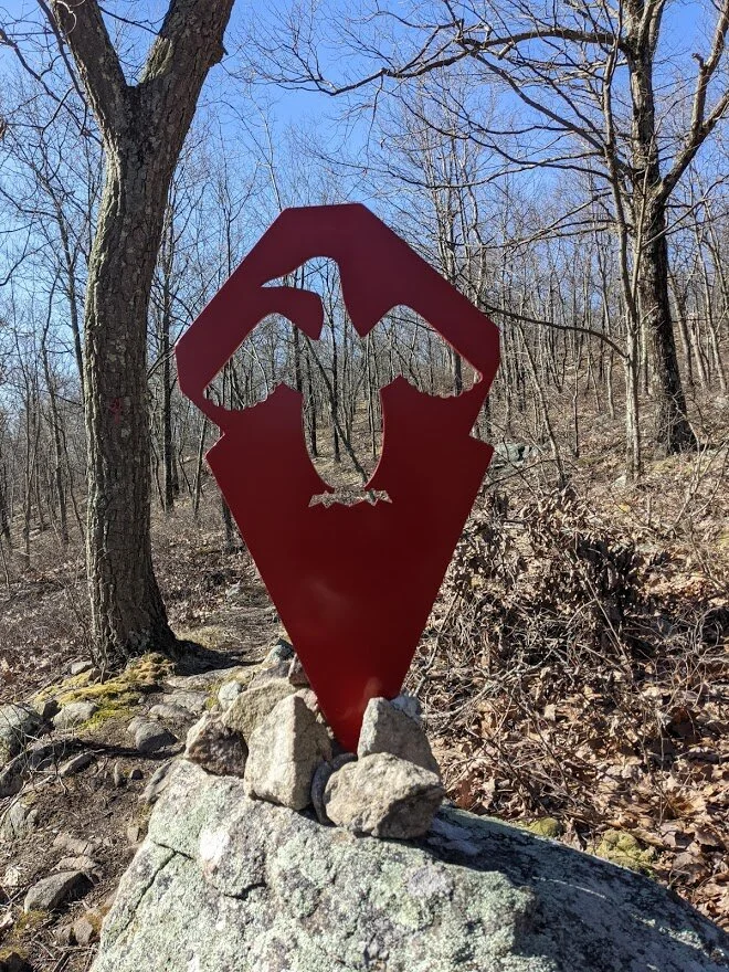
If anyone knows anything about this trail, will you please email details? I would really like to know. highlight@highlighthiker.com. Thanks!
Such an interesting trail. I really need to explore it!
I didn't go much further than this. I knew I had limited time, so I had to leave this for another day without knowing where it went.

Back on the spur...
It's a pretty short spur that just takes you down about 100 feet.
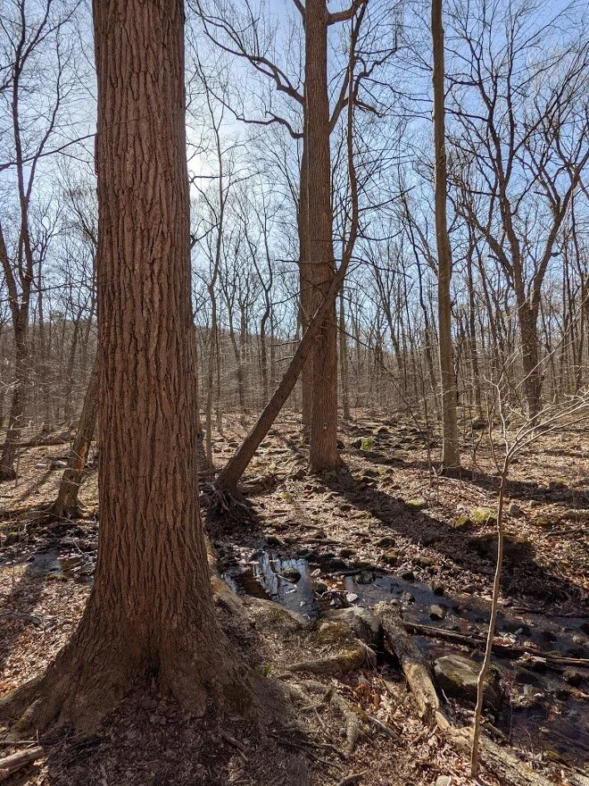
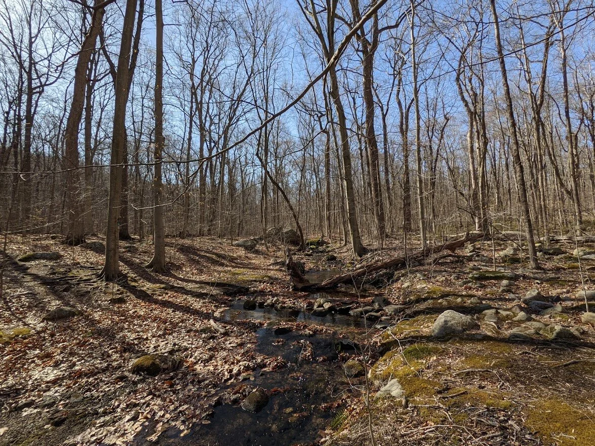
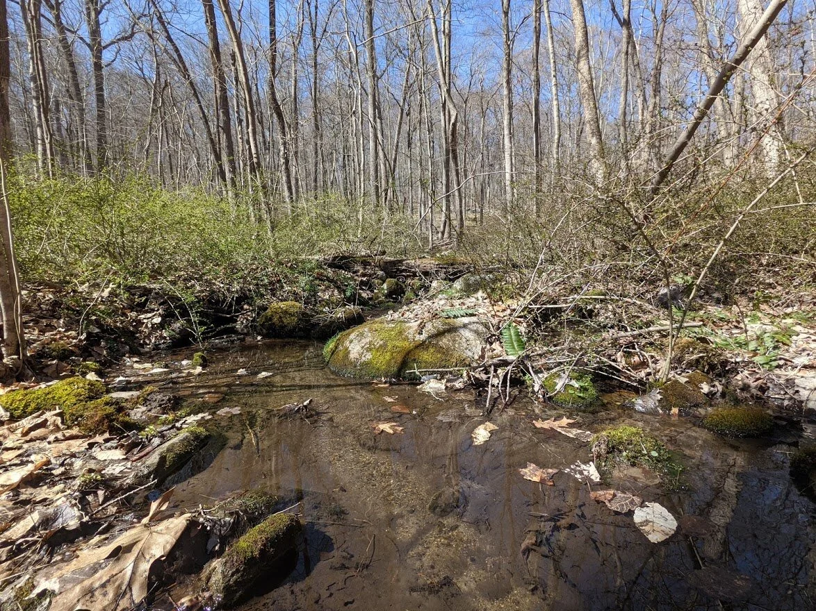
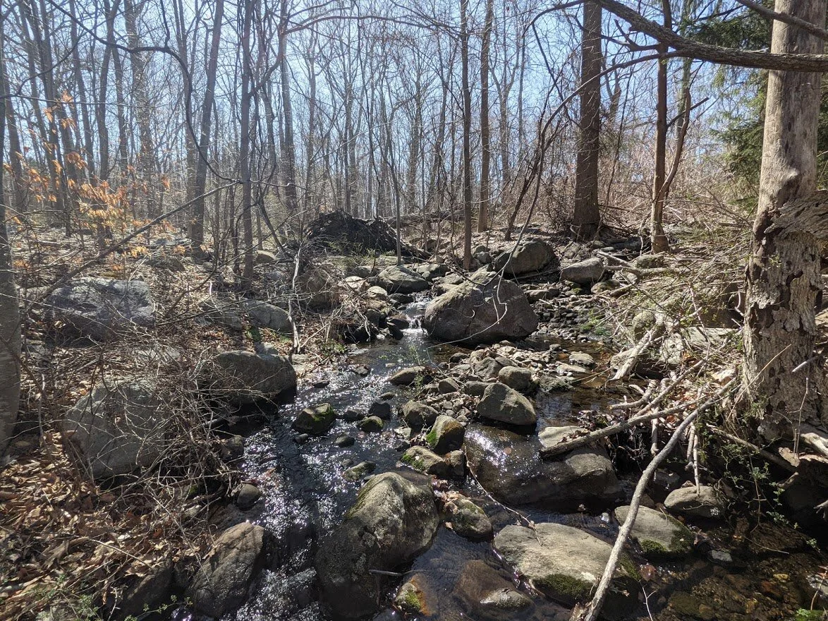
You cross two little brooks, and between the brooks you'll find....
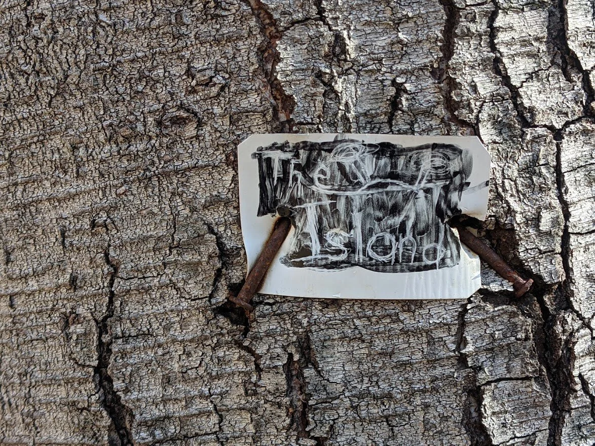
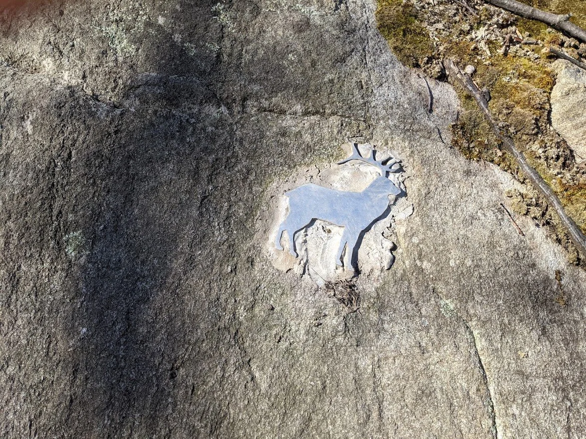
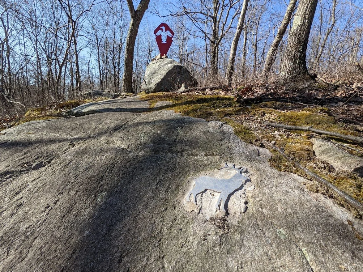
... THE ISLAND. I have no idea who put this marker here, but I liked it.
The is THE ISLAND.
The second brook crossing, looking south.
Second brook crossing, looking north.
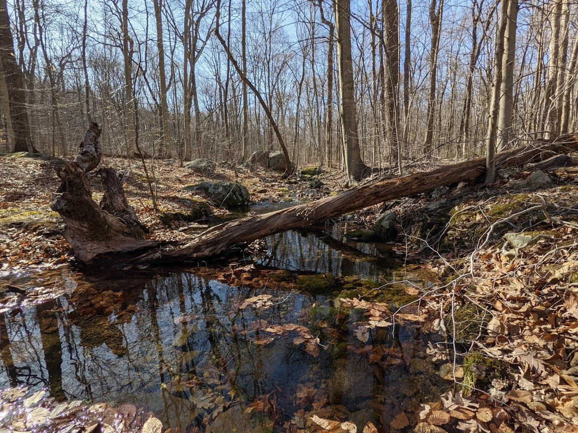
I loved the reflections in the water.
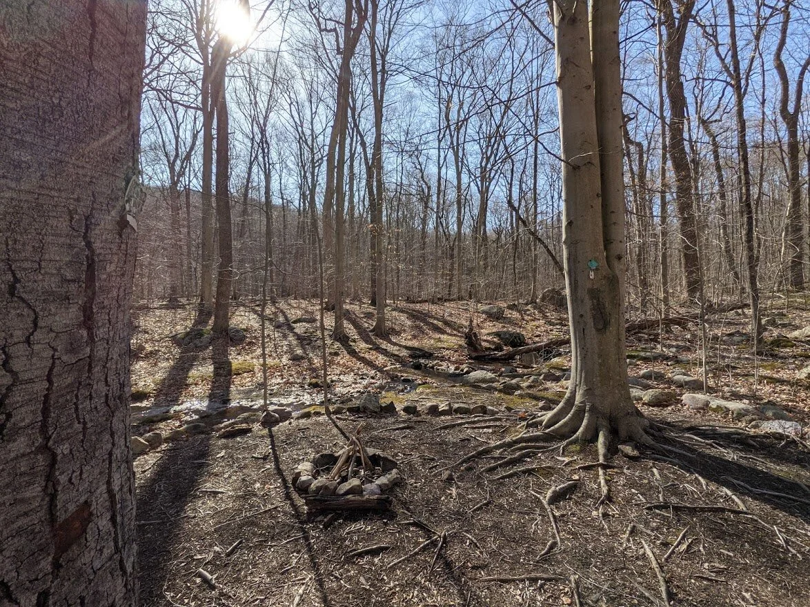
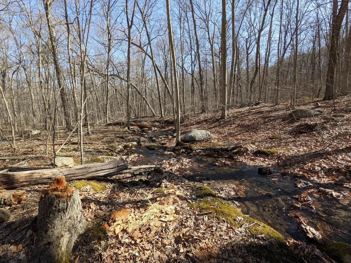
The moss gets greener every day with the coming of spring.
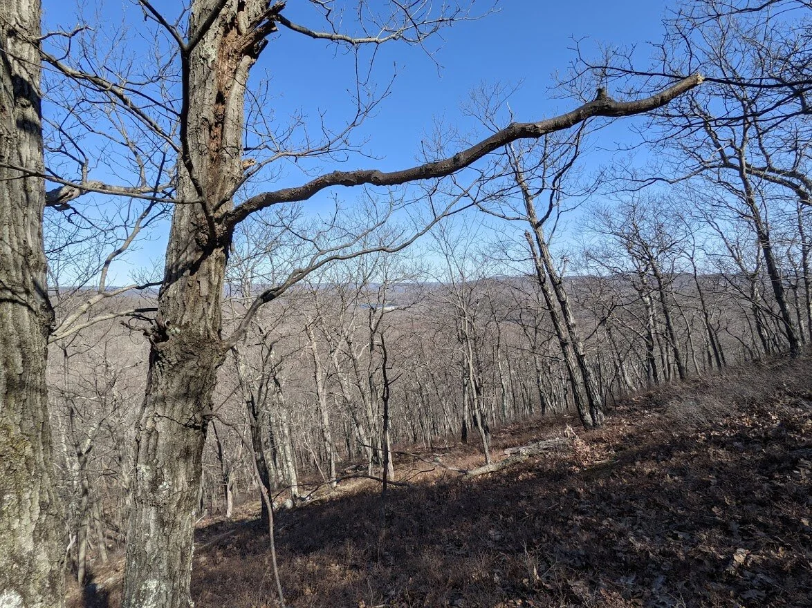
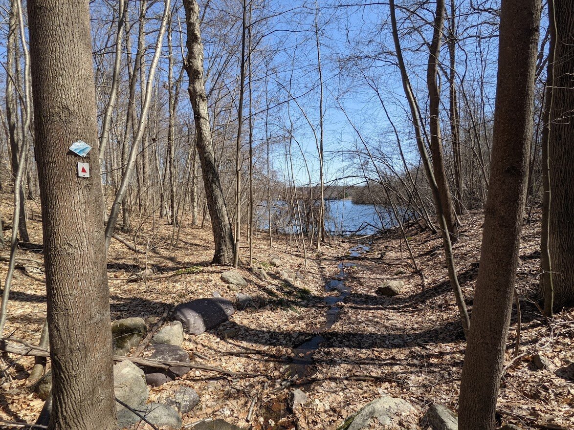
Right after you cross the second brook, you immediately begin to climb. it's approximately 300' on the map, but my Garmin clocked in at 418'. Midway, I was able to look through the trees.
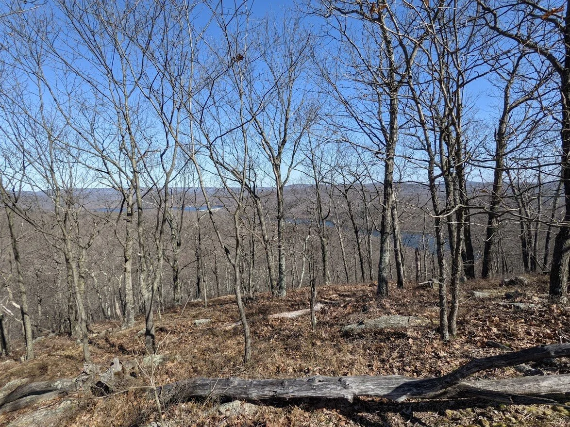
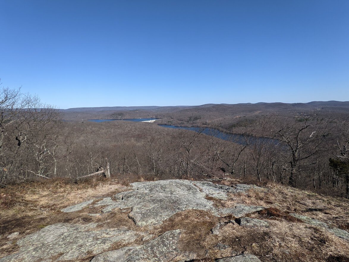
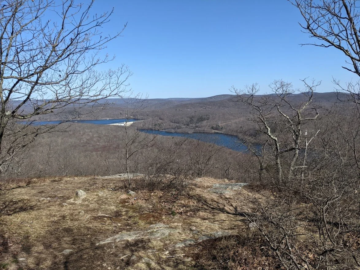
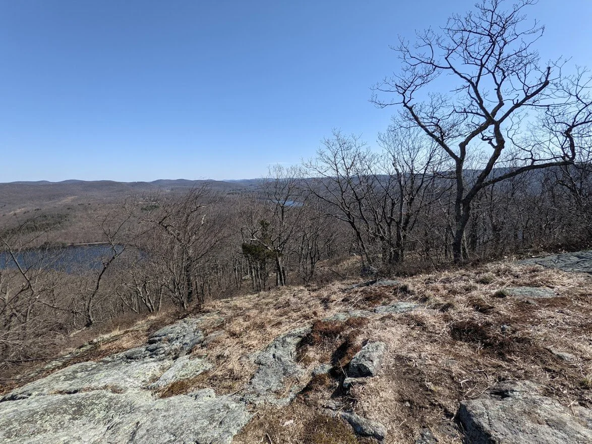
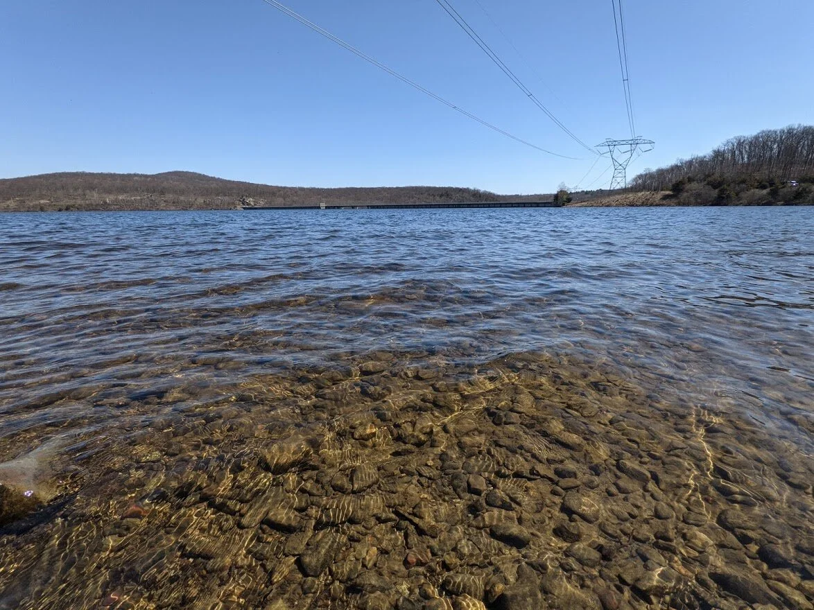
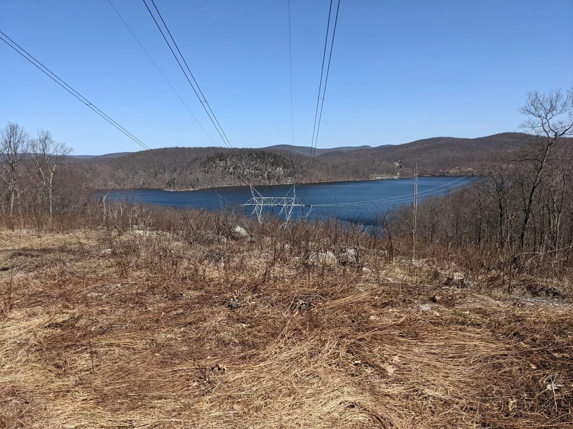
Stopping to catch my breath, I could see the reservoir in the distance.
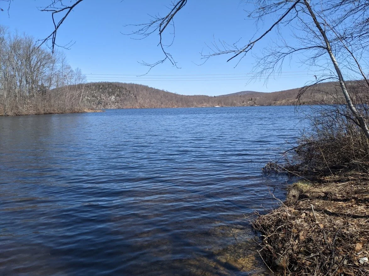
Looking over Wanaque Reservoir, Monksville Reservoir, and the Monksville dam at the scenic viewpoint shown on my map.
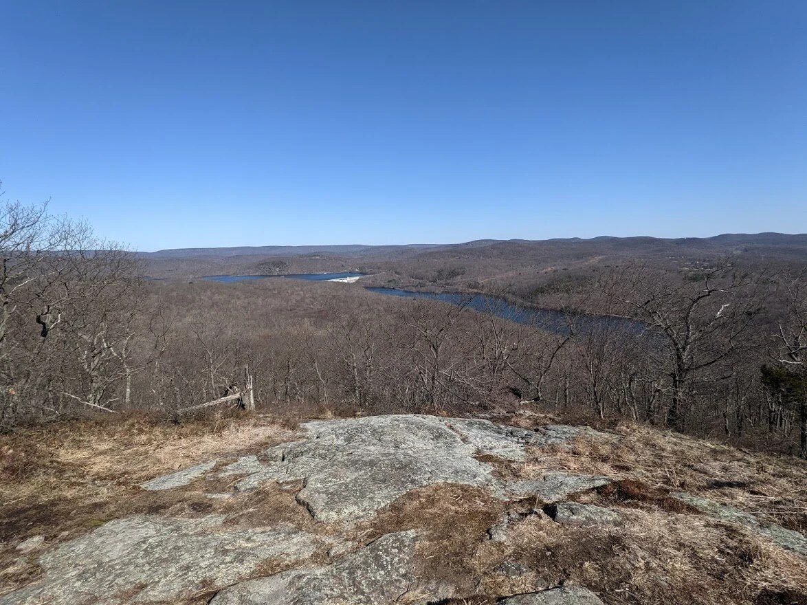
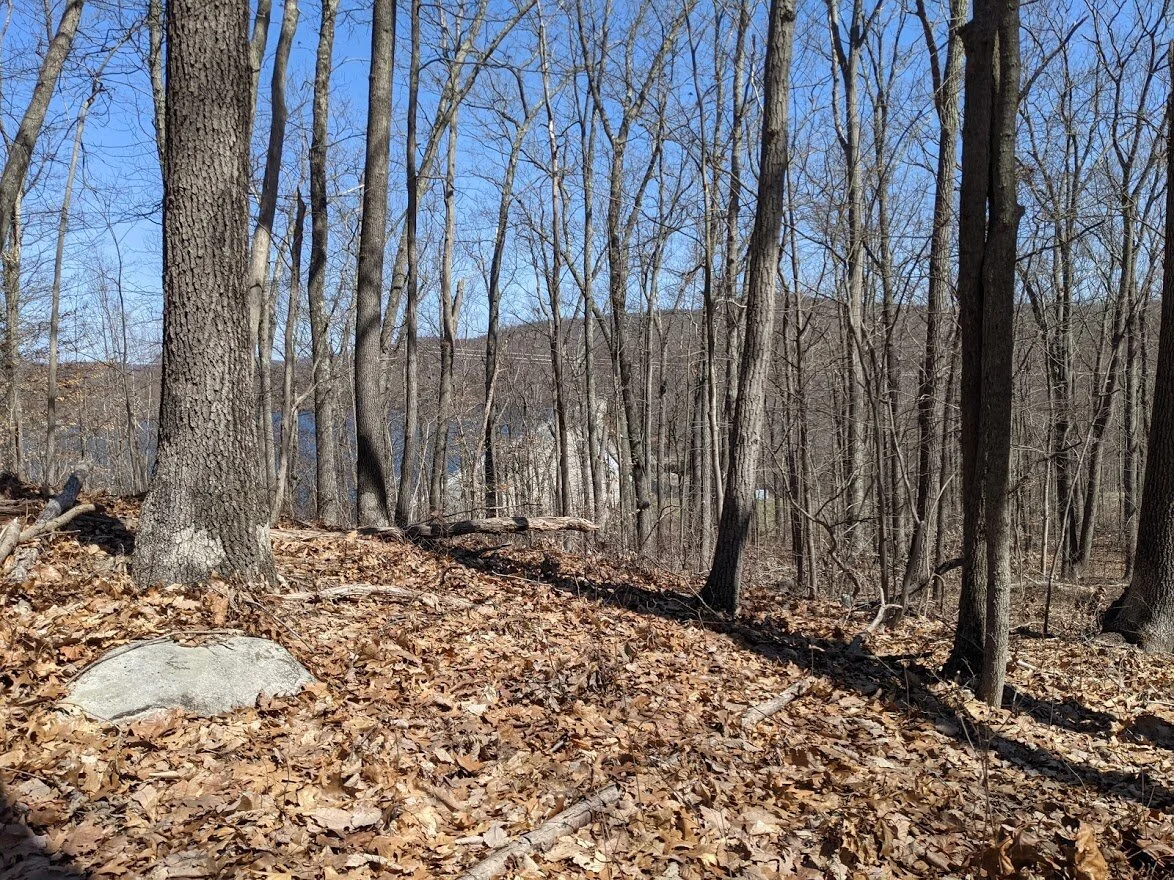
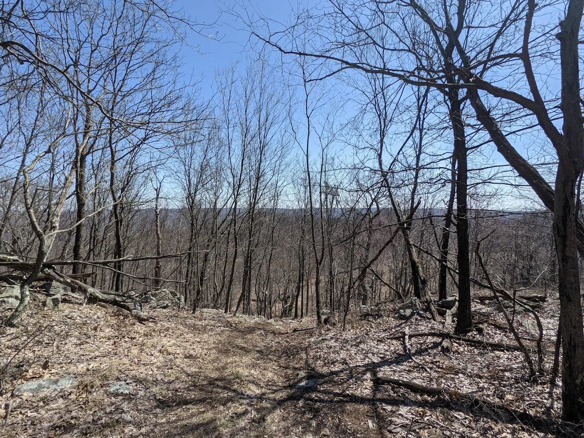
The highest point is just a little further uphill from the scenic overlook. You can't see much through the trees, but in person the water of Wanaque Reservoir was glistening from the sun.
I stopped to admire the view, and the wind was strong with a deep chill. Since I was drenched in sweat from the climb, I didn't linger long.
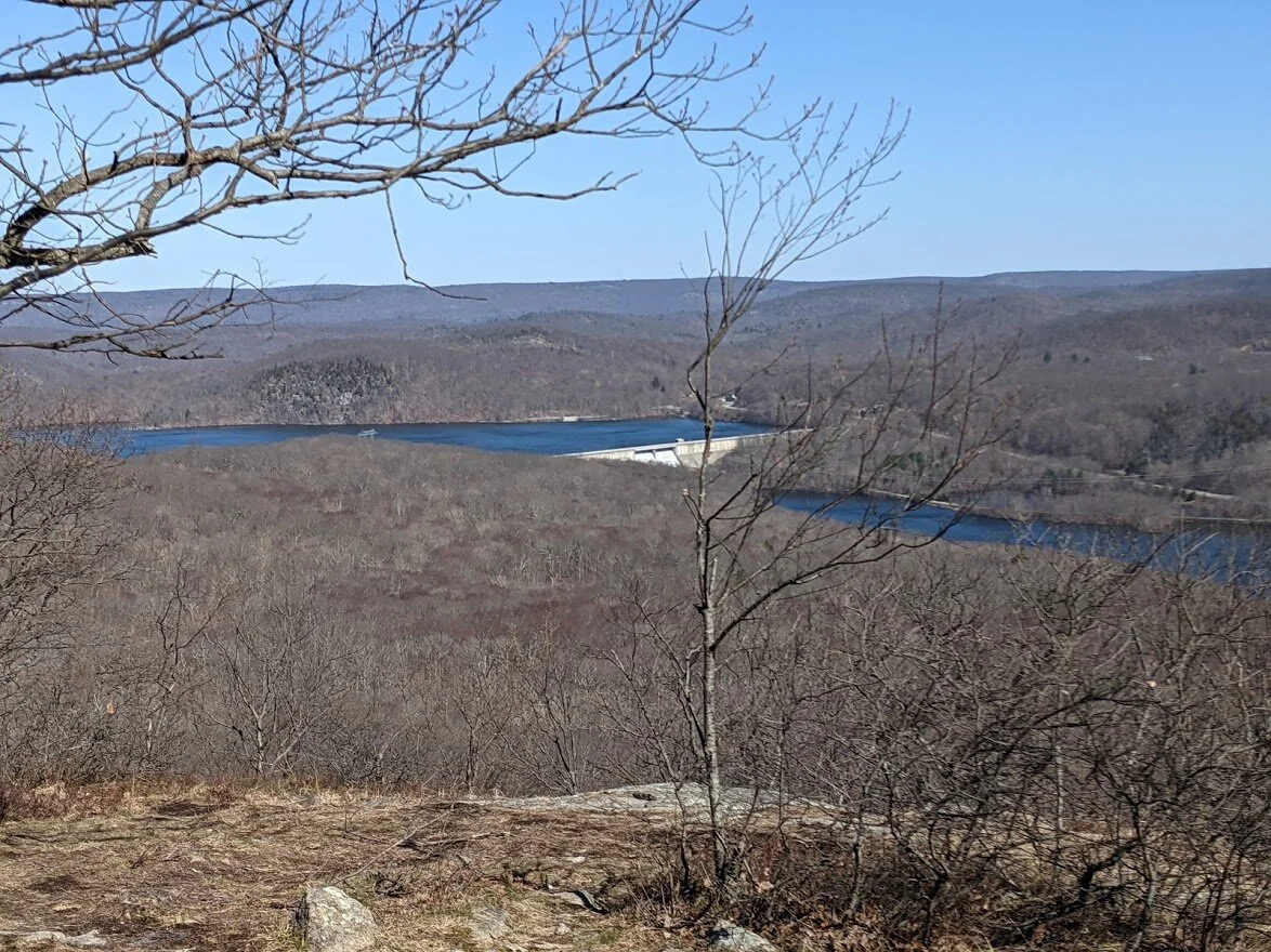
It is a very impressive view, even if it is under 1,000'!
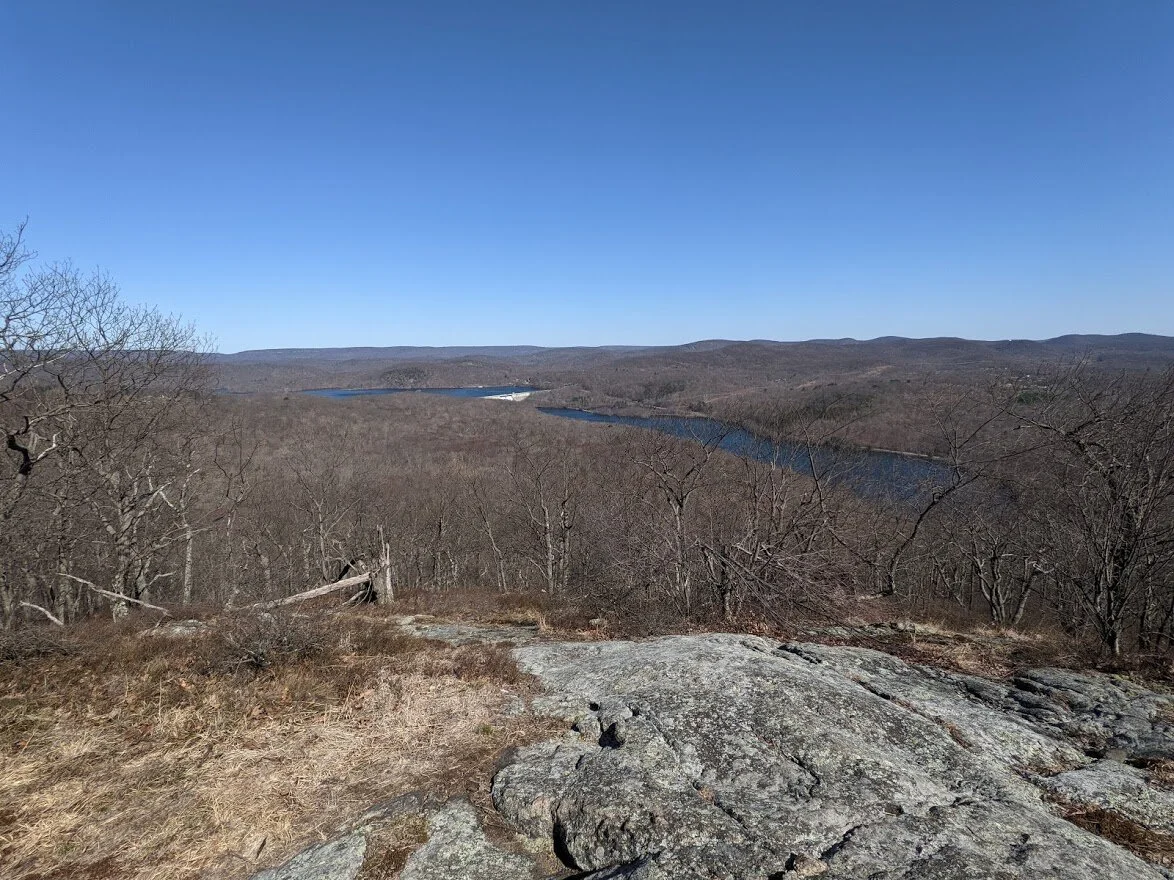
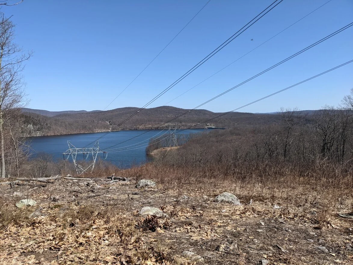
Part 1 of my panorama...
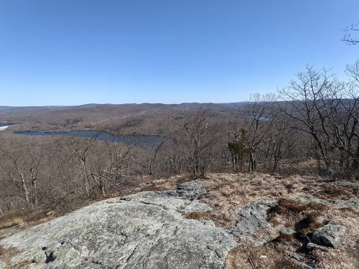
Part 2...
Part 3...
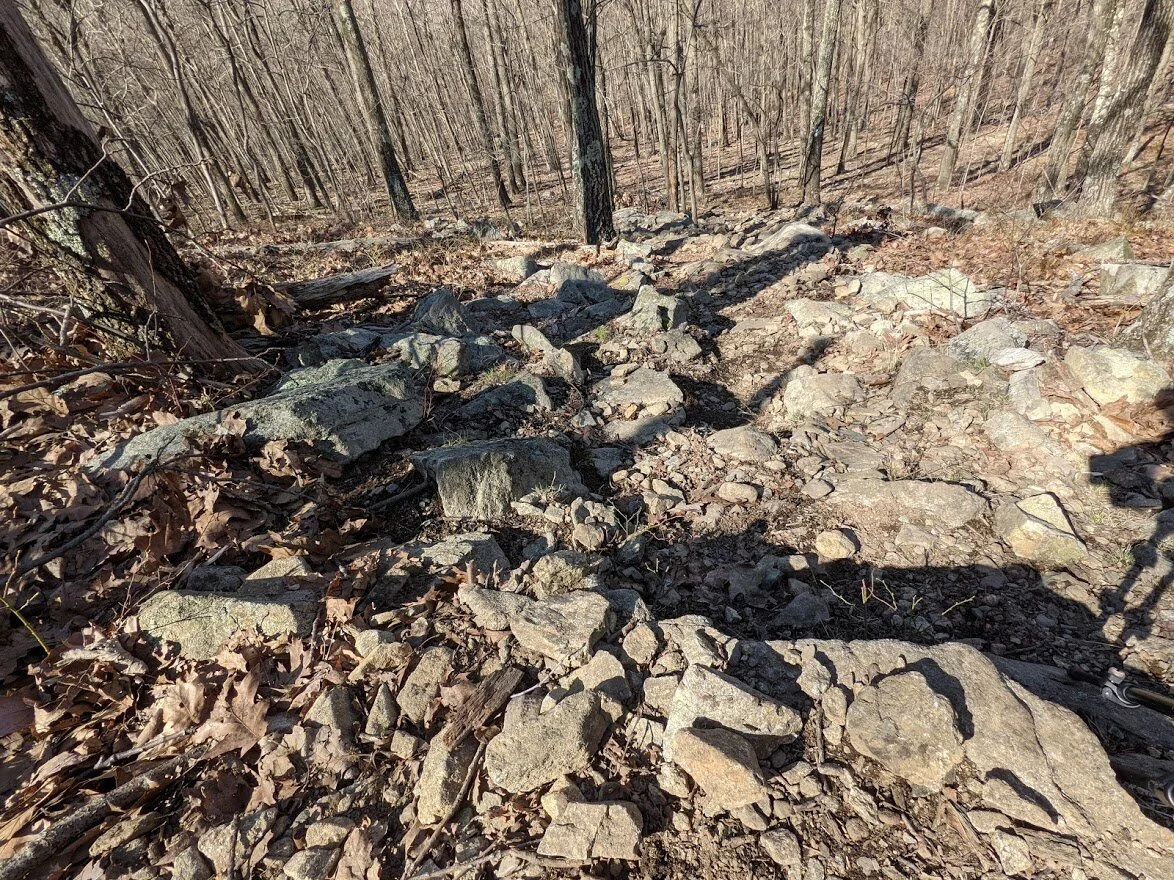
Then down. These are the rocks I was telling you about. They are loose and you can easily lose your footing. Bring trekking poles unless you're a mountain goat.
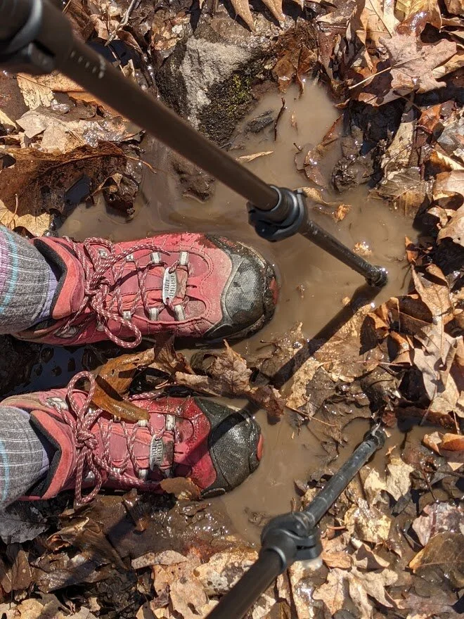
Speaking of trekking poles... they came in handy while walking through the swampy bits. I had no idea how deep the water was. With my Oboz I really didn't need to worry, though. My feet were dry!
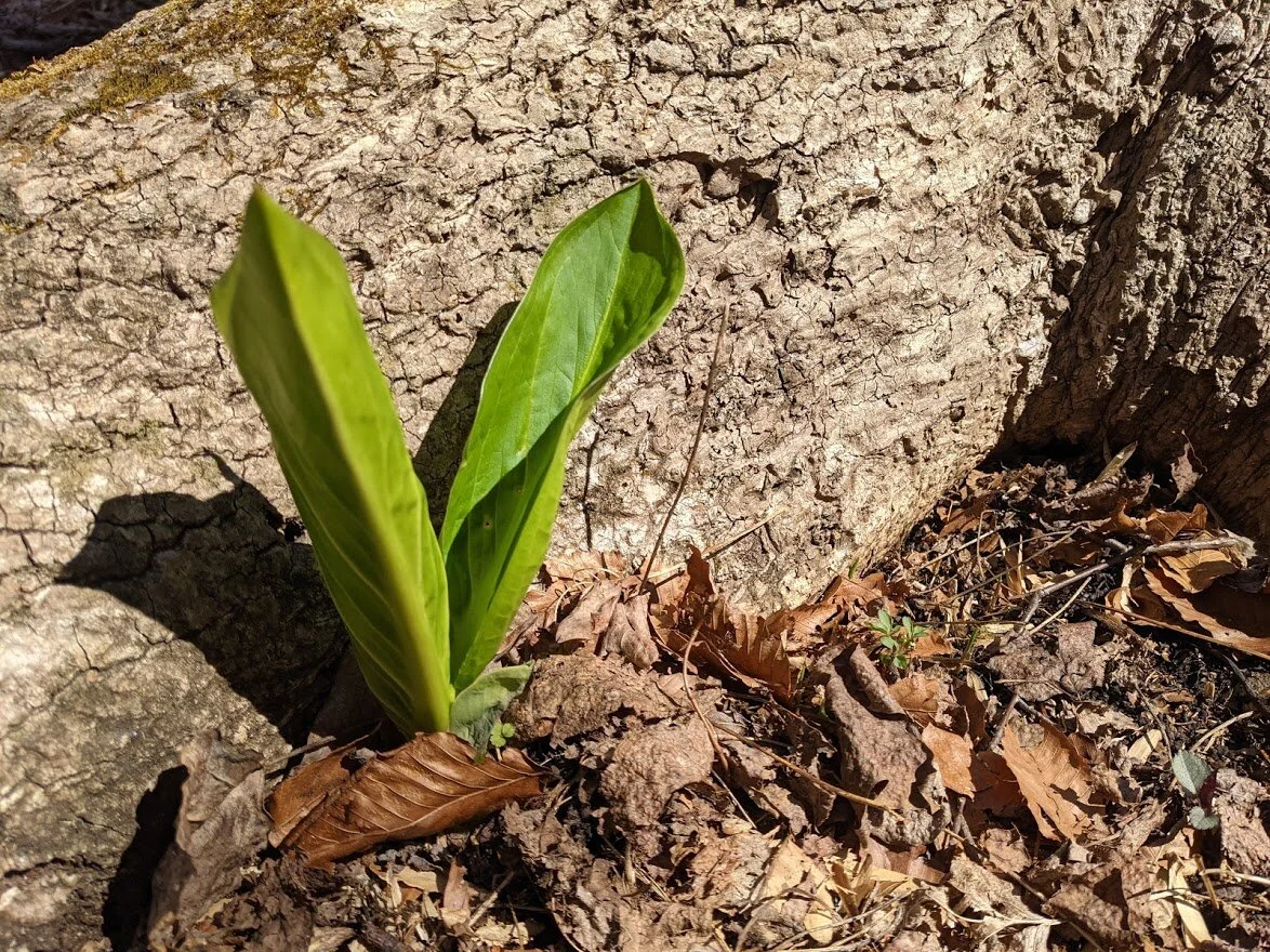
Signs of spring!
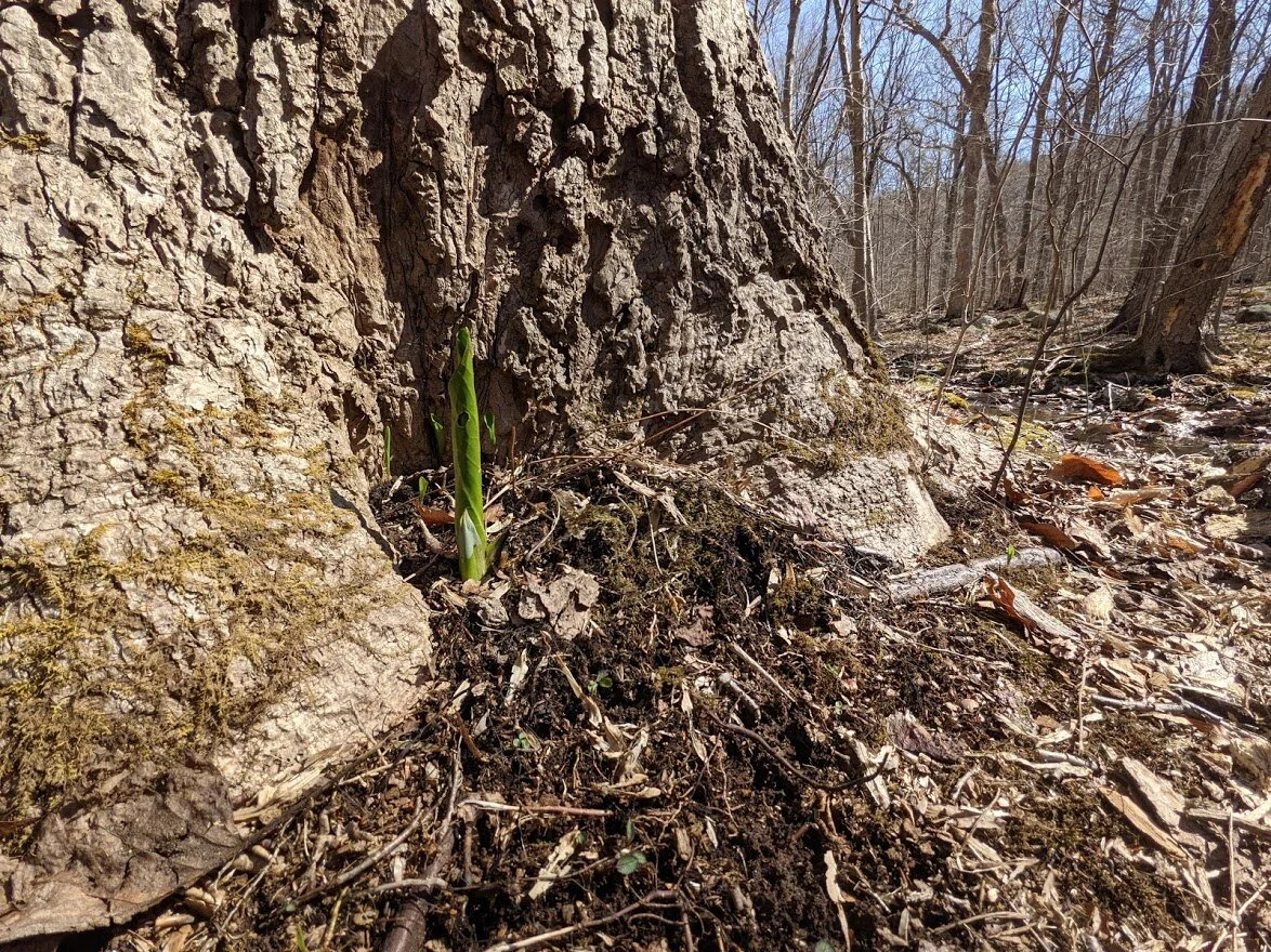
Just a little bit of green isolated in a field of winters leftovers.
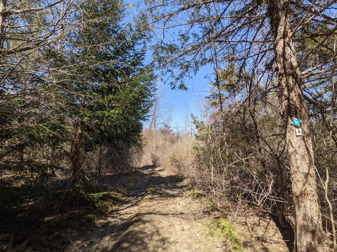
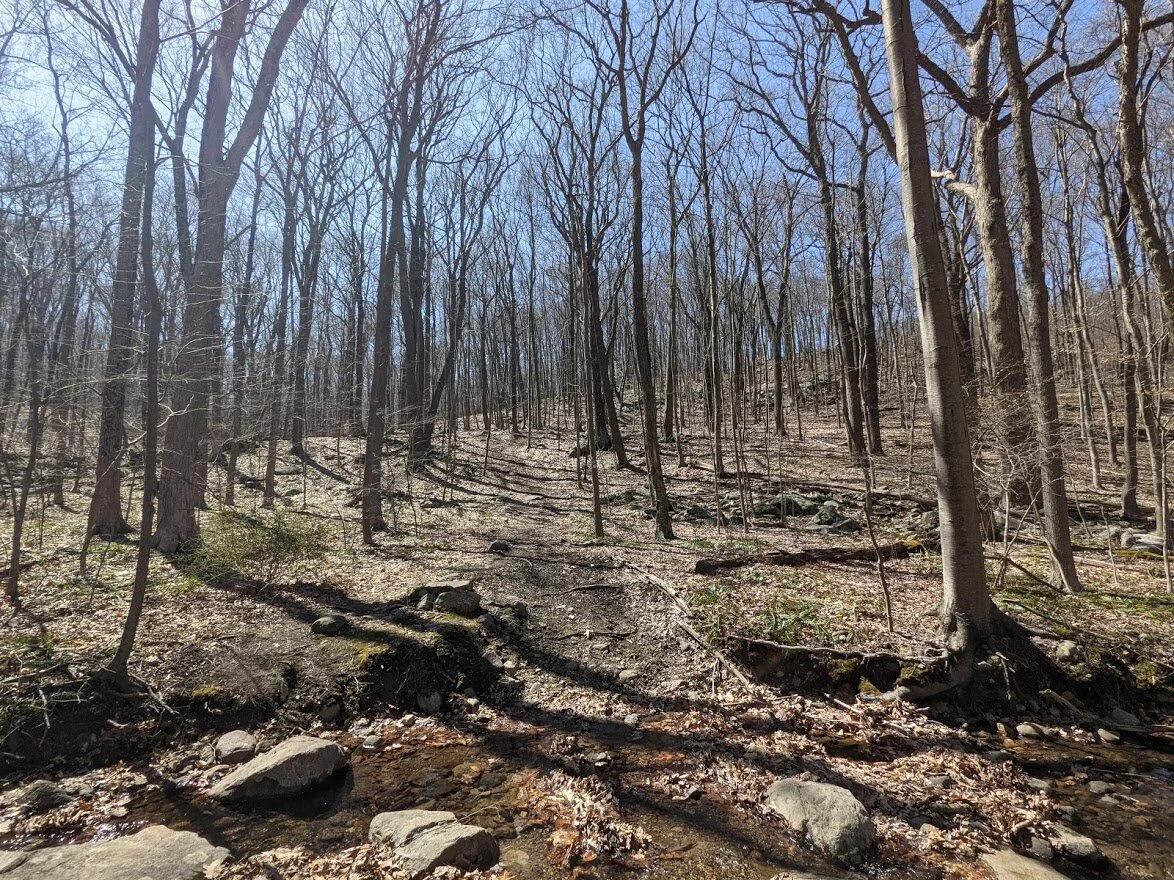
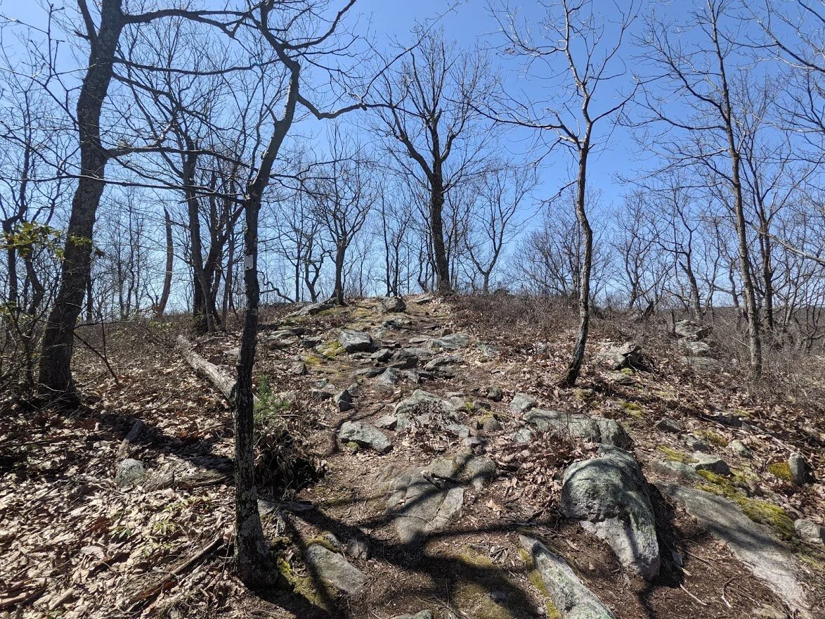
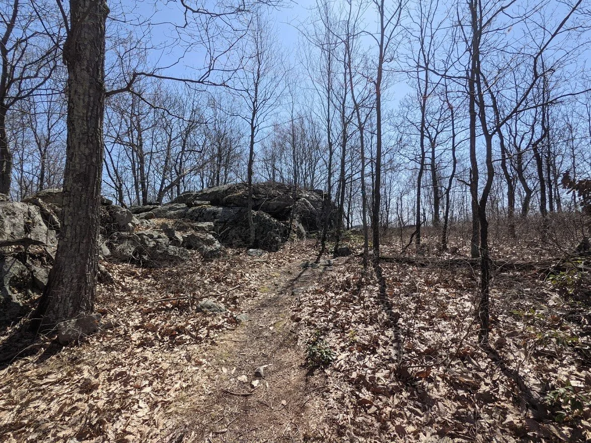
There were some sections like this along the Highlands... which really isn't surprising. This is what you have to expect from this region.
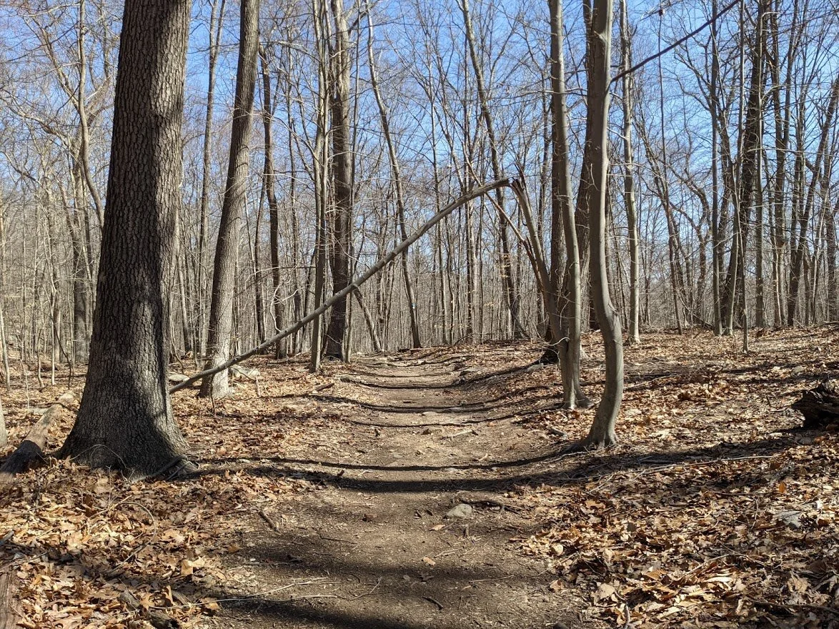
And then this happened!!!! I was so excited to have easy terrain that I had to photograph it! I was grinning from ear to ear!
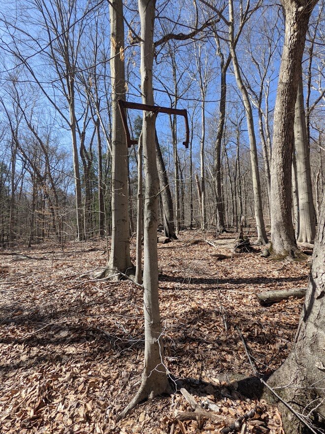
Nothing to see here. Just some weird rusty pipe hanging in a tree.
The easy terrain made it simple to follow the blazes: I didn't have to watch my feet every step for fear of tripping over rock or root!
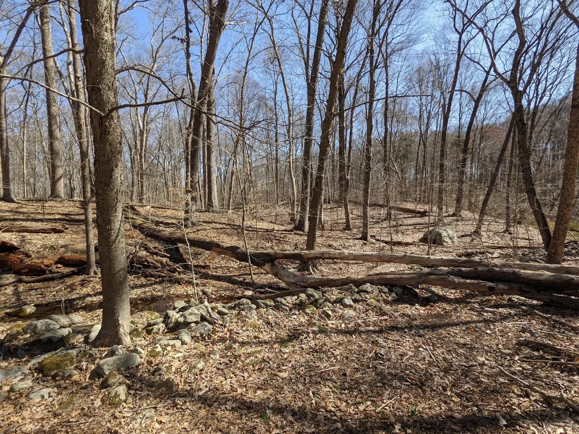
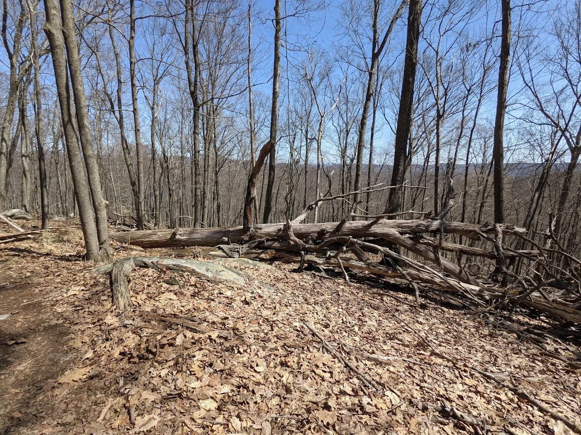
There were a few blow downs that you have to navigate around, but it wasn't difficult to find a path and get back on trail.
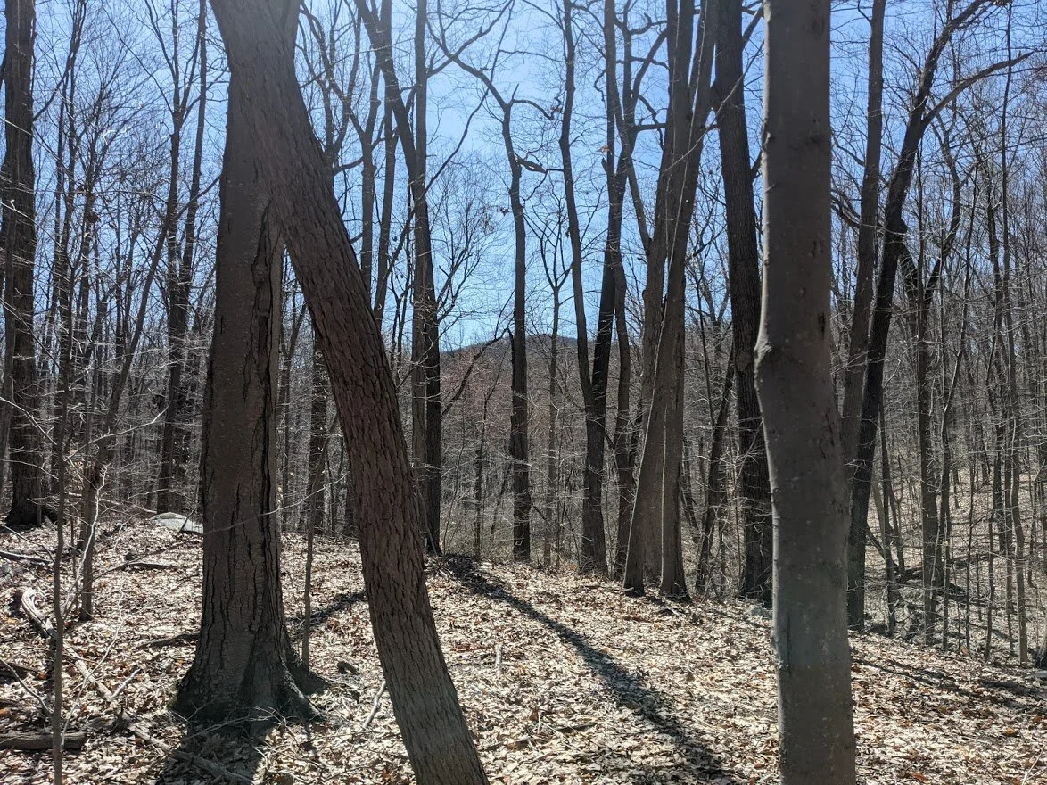
Hey look! Board Mountain! I was just up there looking down!
Ferns! Leaves! Water and warmth bring signs of life to the earth!
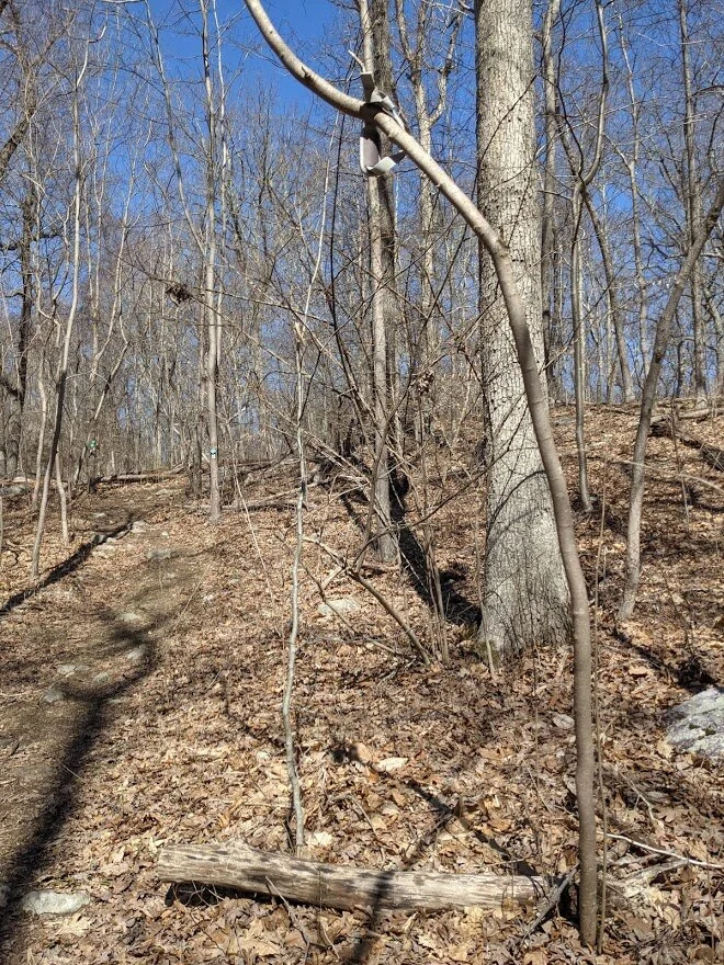
See the strap stuck in the tree? I couldn't reach it. I tried to untie it with my pole, but was unsuccessful. If you pass by and can reach it, will you please take it down?
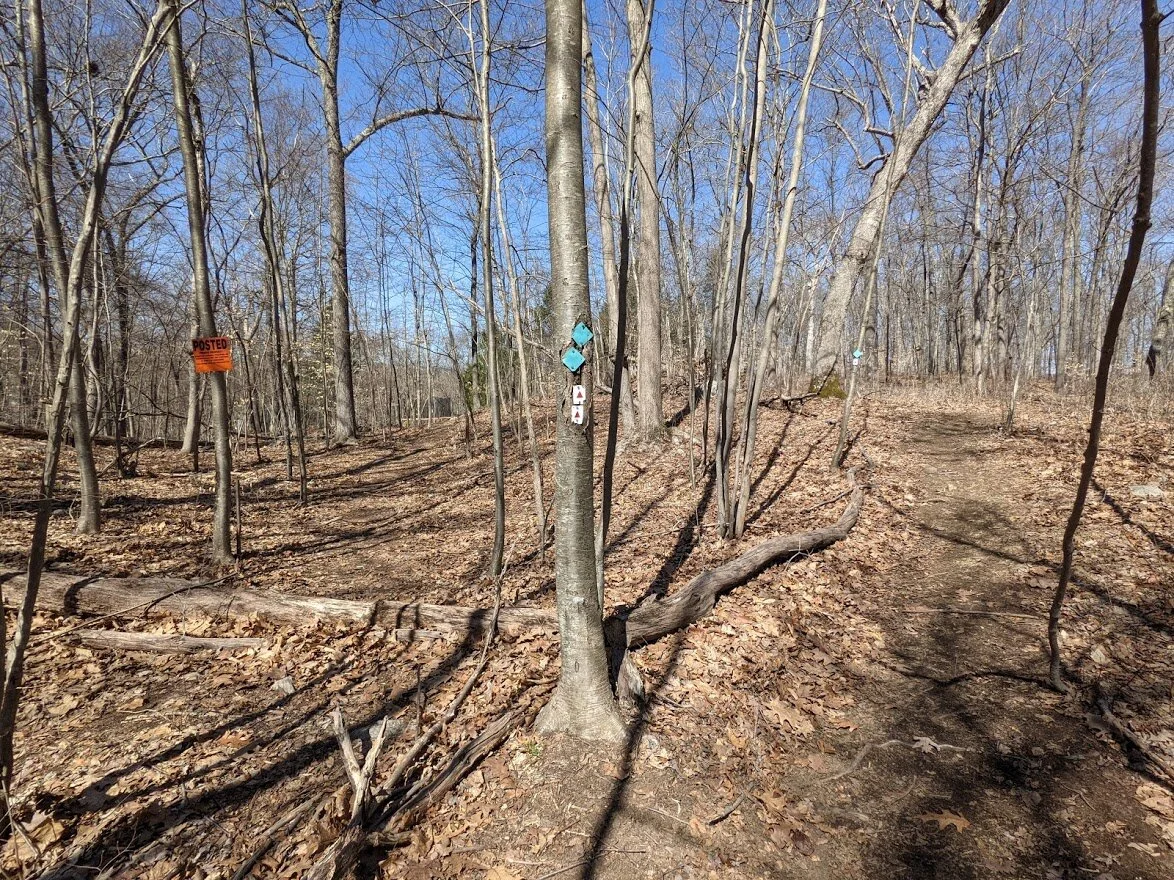
The Highlands and the Stonetown Circular share the same path until you get to the top of Harrison Mountain.
Isn't it amazing? I was just high above the dam looking at it from a distance, and now here I am next to it. It's fascinating to me how far you go simply by putting one foot in front of the other.
Though she be crooked, she is stable.
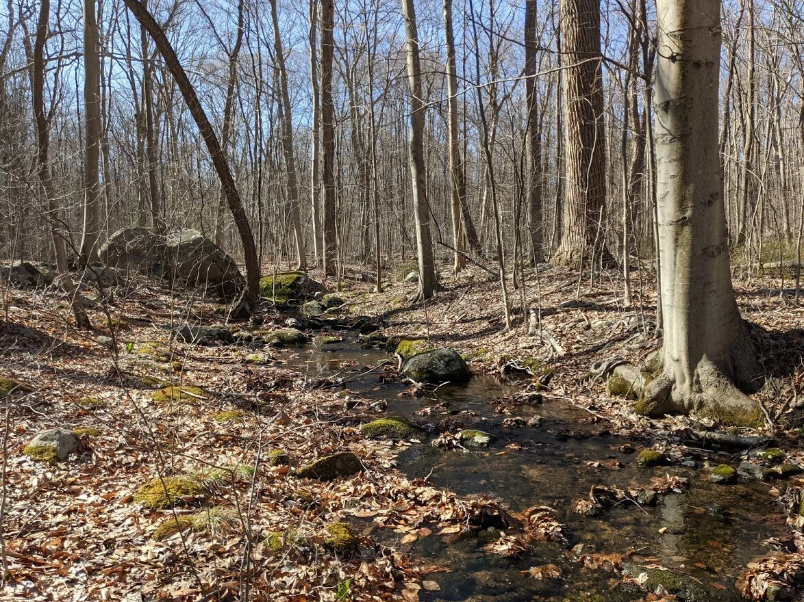
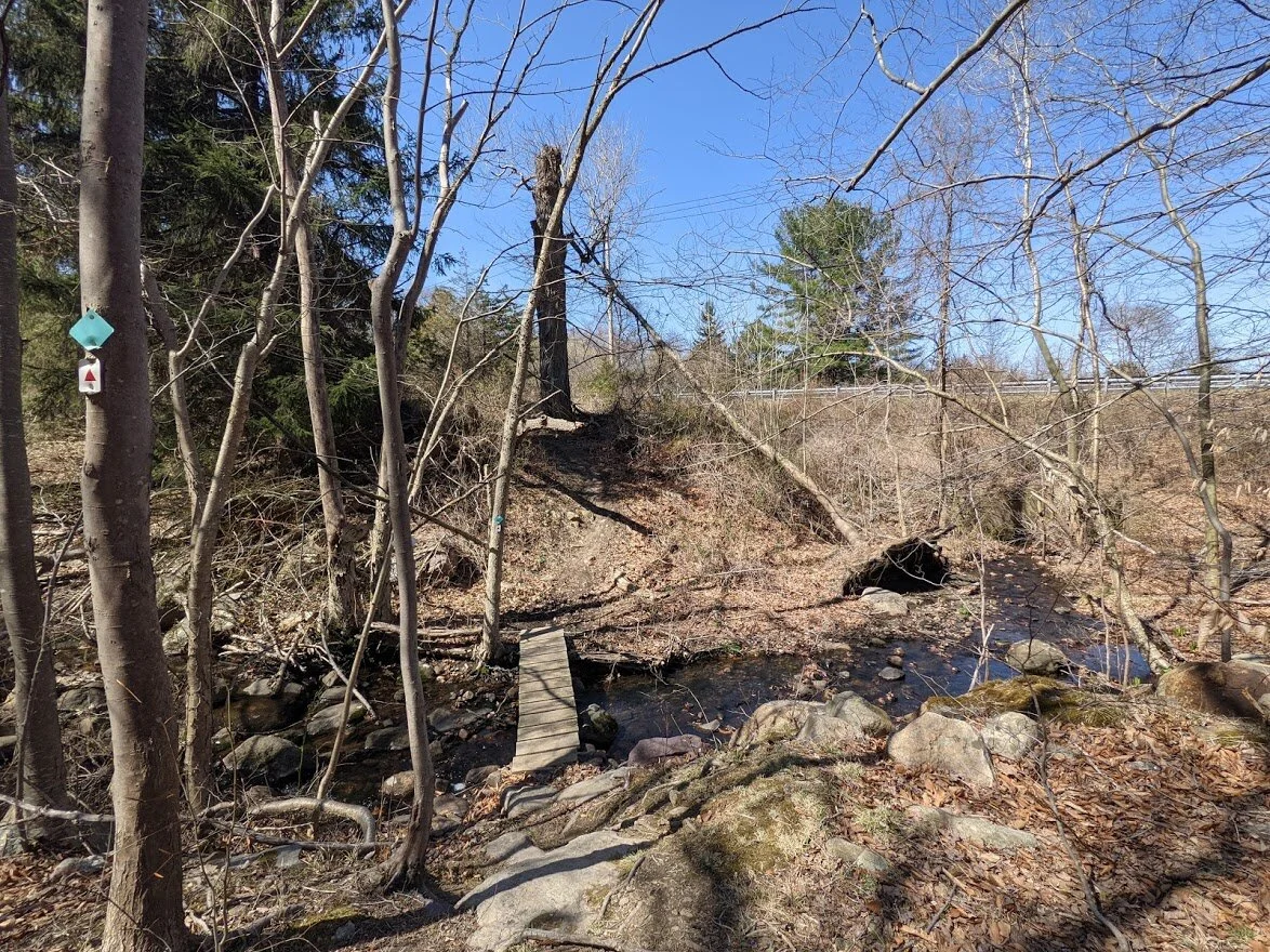
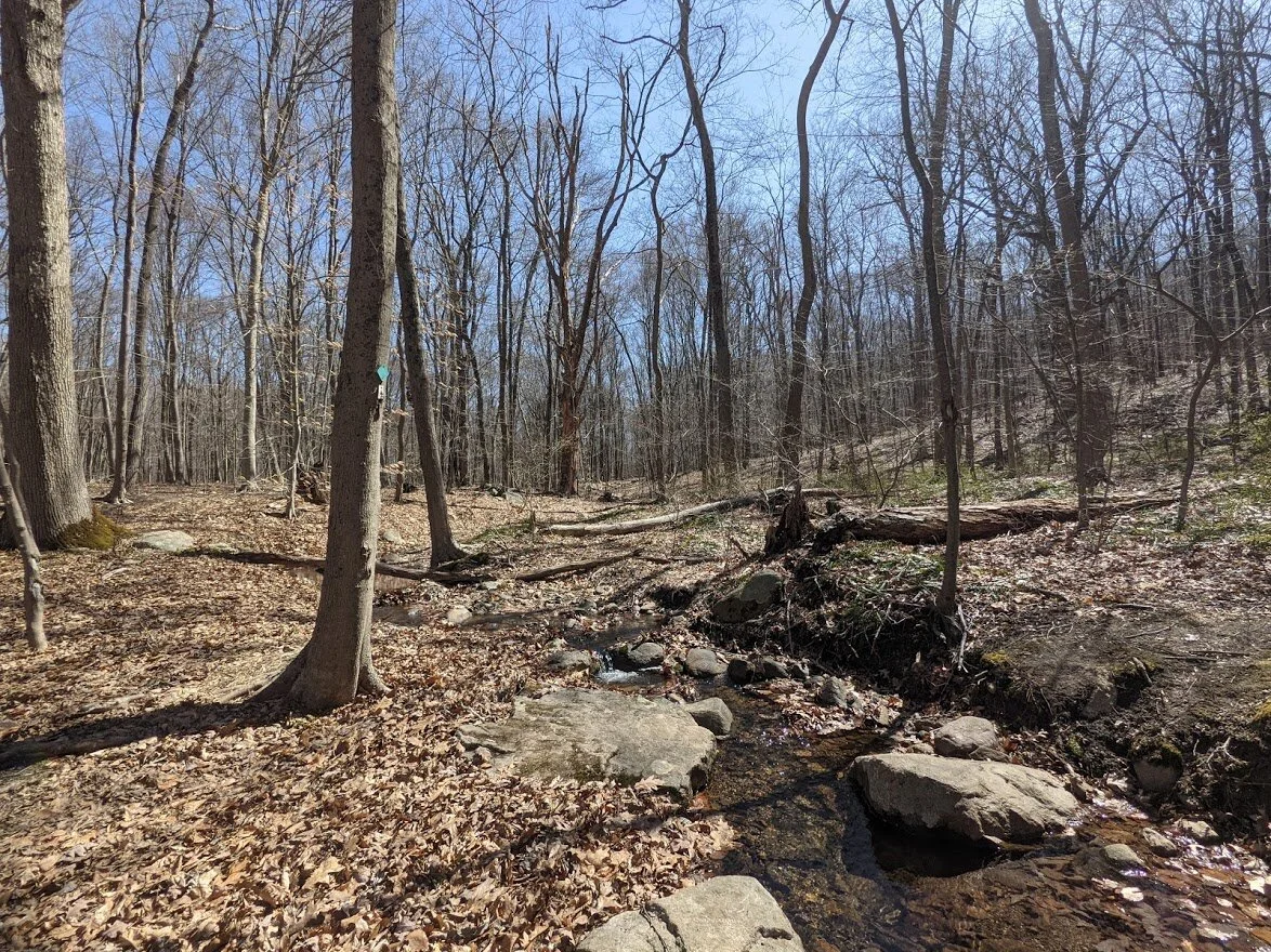
Crossing what I think is Ricker Creek.
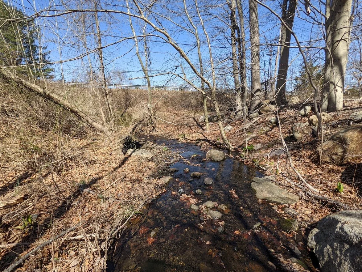
Ricker Creek funnels out of the Monksville Reservoir.
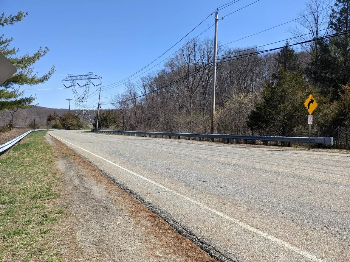
Midway through the hike, you have to cross Stonetown Road. You have the option to continue along the Highlands Trail, or you can head north on the footpath over the dam.
I opted to continue as I've walked the dam several times before. The trail isn't marked right at the road very well. You follow a short unmarked jeep road and then see the markers.
SPRING!!
Views of Monksville Reservoir abound on the walk to Harrison Mountain. Every little corner seems to want to remind you where you are. The mayflies have hatched, though, so when I stopped to take a picture or look at the view, I was covered with them in no time at all.
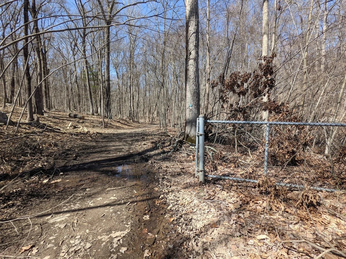
You'll go past the gate and continue on the access road around the reservoir.
A seasonal creek connects Lake Riconda to the Reservoir.
I stooped down to take this picture and put my foot in a nest of mayflies. I couldn't run away fast enough - they had covered my arms, face, and hair before the shutter closed!

LOOK AT THAT GORGEOUS TRAIL! This was maybe my favorite little section. So pretty. So full of bird song. With views of the water to my right.
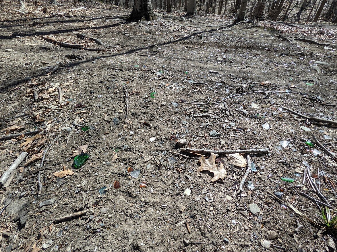
Buuuuut then there was the broken glass. Must be a party spot. There were smashed bottles, buried bottles, empty bottles... glass everywhere.
Crossing an unnamed brook.
It was easy to skip across on rocks, but I get the feeling it's pretty seasonal and in the heat of summer might be completely dry.

It's only wide from the tire erosion. The rest of the creek is slender and you could step over it.
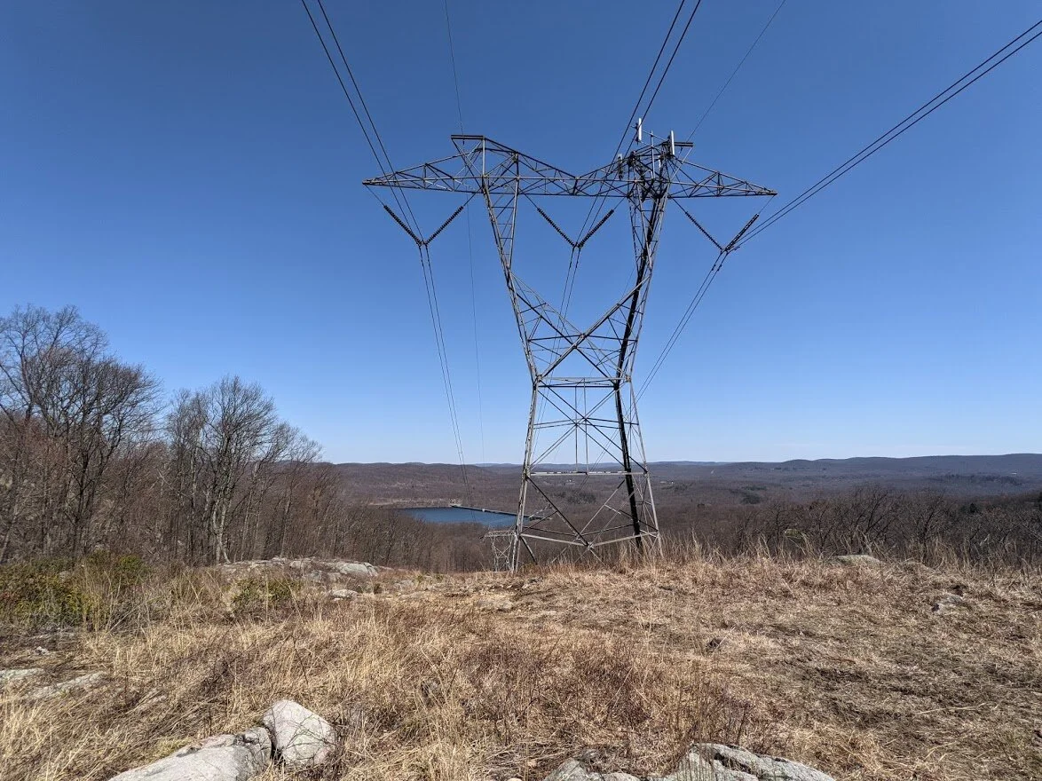
Then you start climbing Harrison Mountain. It's easy terrain but steady and kind of steep. Even when you make it to the scenic overlook at the power lines you're still climbing. There are no flat sections getting up Harrison Mountain!
Nice view of the Reservoir.
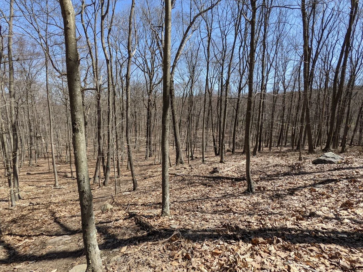
Through the trees you can see how far you've come, but you're not even halfway up. Just put one foot in front of the other and plod along. You'll get there eventually!
Between the last picture and this spot, I could tell there was something wrong. My breath was hindered and I was really struggling.
There are a few false tops on Harrison Mountain. You THINK you're almost there 2 or 3 times, but when you crest the top, you still have another 20 - 30 feet of climb to go. Sneaky little bugger!
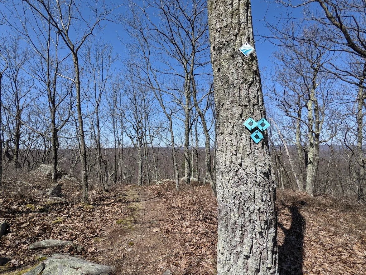
But then finally your misery comes to an end. You have three options: follow the Highlands Trail, follow the Stonetown Circular, or take the Highlands Spur to Lake Riconda Drive. You're looking at the Highlands Trail. If you were to take this north, you would get to Horse Pond Mountain.
Stonetown Circular
And the spur trail. Where, thankfully, I was headed. My lungs were killing me!
But please, this is New Jersey. You can't go down without going back up. Silly hiker.
I stopped here to take a picture of the drop off. The trail just goes DOWN. I took out my poles and drank some water. While I was doing these things, a little bee curiously flew around me. It followed me down the hill, and then back up the hill to the look out. Like a little Trail Ambassador.
You follow the trail steeply down to this look out where on one side you can see the dam...

... and on the other side you can see Harrison Mountain Lake, with Bear and Windbeam Mountains in the distance.

Board Mountain is there, too!

Look! My little bee friend! I had no idea he was such a camera hog!
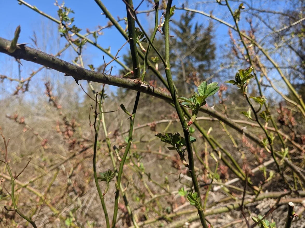
The descent from Harrison Mountain on the spur is about as much as the descent down from Board Mountain. Fewer rocks, but even steeper in sections, and the trail is overgrown with thorny plants. SO MUCH FUN! And when you're done with the descent, I mean.... you are done. D-U-N kinda' dun!
The spur ends at Lake Riconda Drive, which is a private community. Like White Road, the houses were right along the area for parking, which allows room for one or two cars. I don't know how the residents feel about hikers, so please respect their land: if this parking area is full, don't squeeze in. Find somewhere else to hike.
I liked the wingspan idea for social distancing.
Sorry about my thumb. I was trying to be quick and discreet. This is it for parking, and you can't block the road. It really is a tight squeeze.
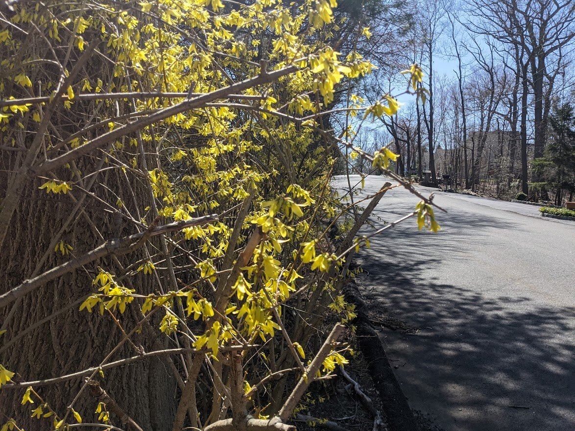
Forsythia blooming roadside.
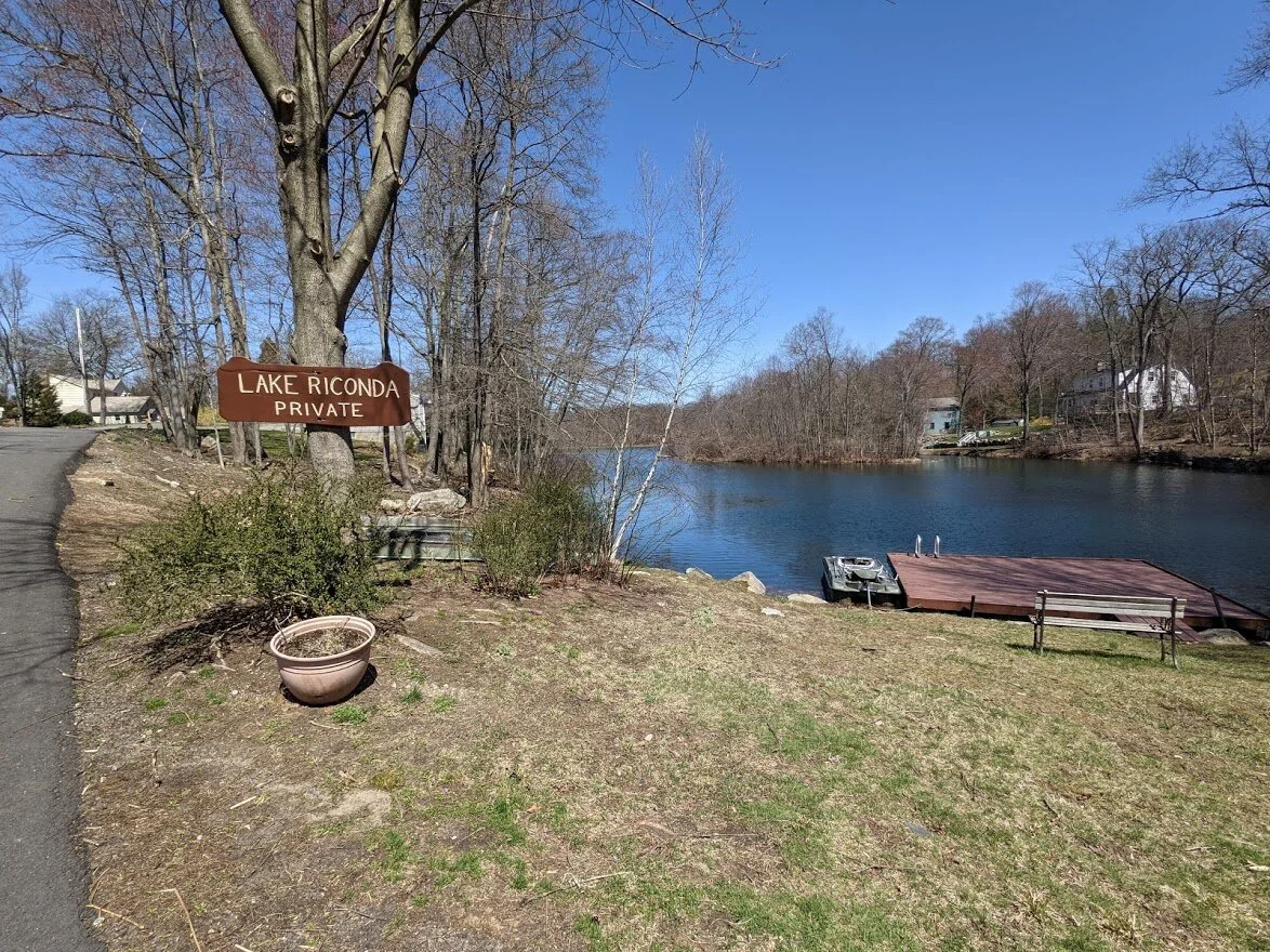
Such an adorable community. I would live here if I could. Nice homes. Nice land. Cute lake.
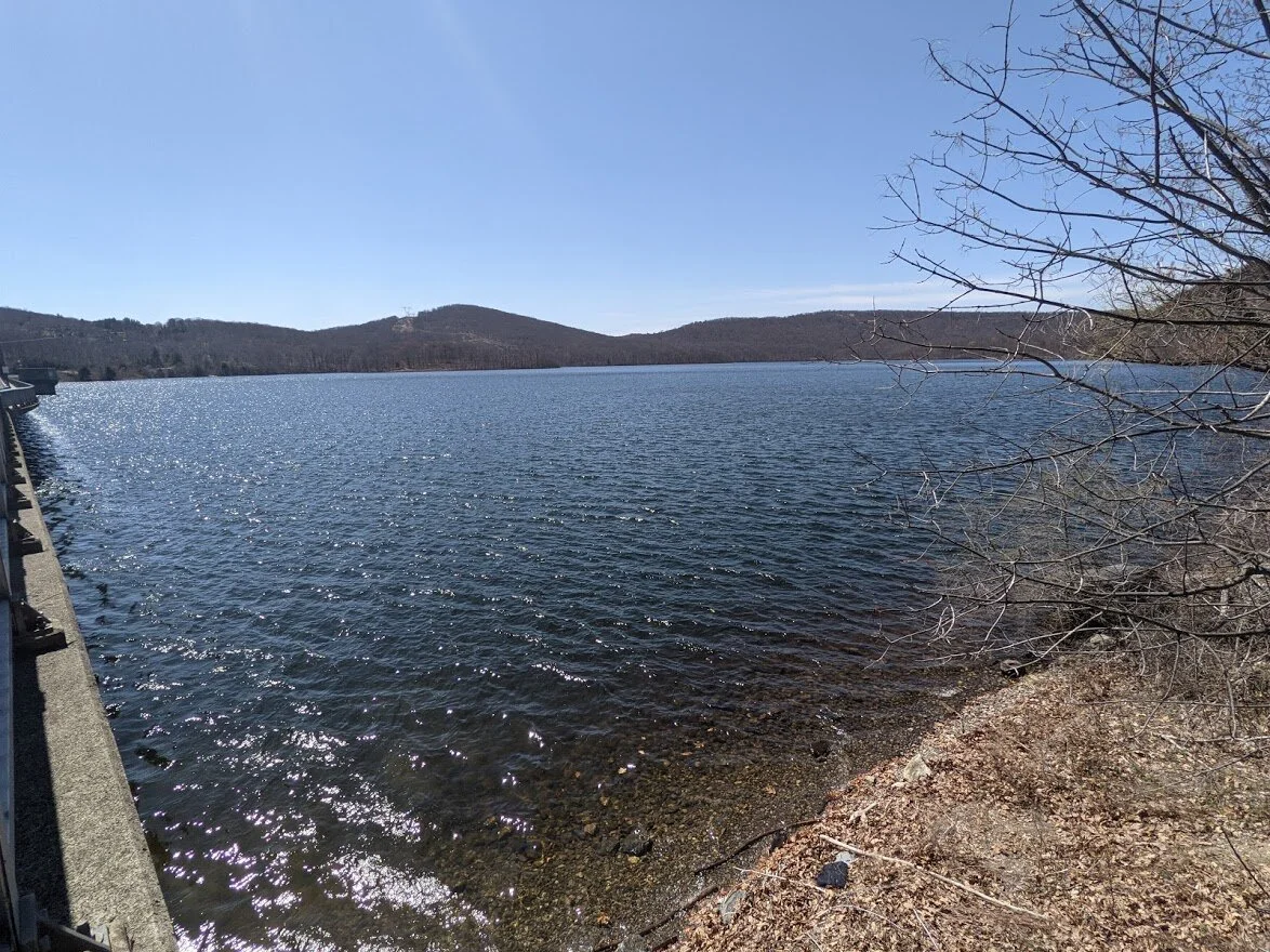
Once I got back to my car, I took Stonetown Road to get home, and stopped at the dam parking lot to take a picture. The mountain with power lines in Harrison Mountain. To the right is Horse Pond Mountain and the little lump on the very far right is Monks Mountain.