
Where am I going?
Highlight Hiker Blog
March 31, 2021
Long Pond Ironworks, Burnt Meadow Loop
I have many friends who say to me, “I would love to go hiking with you sometime.” It isn’t that I mind company when I hike, but that I haven’t found the perfect friend trail…. until now.
This trail has everything you could possibly want for friends who aren’t regular hikers: steep climb (but just a little bit for a taste of the challenge), a view that will really wow them, a trail with genuinely easy terrain where you can move quickly, a little bit of bad terrain for them to try out, giant mud puddles for funsies, brook crossings, an evergreen stand that smells incredible, and some regular old trail to boot.
I guess you could say I’m really in love with the Burnt Meadow loop.
Which is great on a personal level, because my last experience was… ummm… not so great. NEVER QUIT ON A BAD DAY. There’s always some joy just around the corner. Or in my case, a few days later. The beauty of being a day hiker.
But even without that previous experience I would say this is the perfect trail and you know why? Because the scenic view wasn’t littered with garbage, which to me means it is lesser known. I suppose that it is fairly popular based on the amount of road parking, but it isn’t a “party spot”, if you catch my drift.
However, the reward doesn’t come without its challenges to get there. They’re all about the same, but you can choose from several different ways to see the view on Horse Pond Mountain and to follow the entire loop.
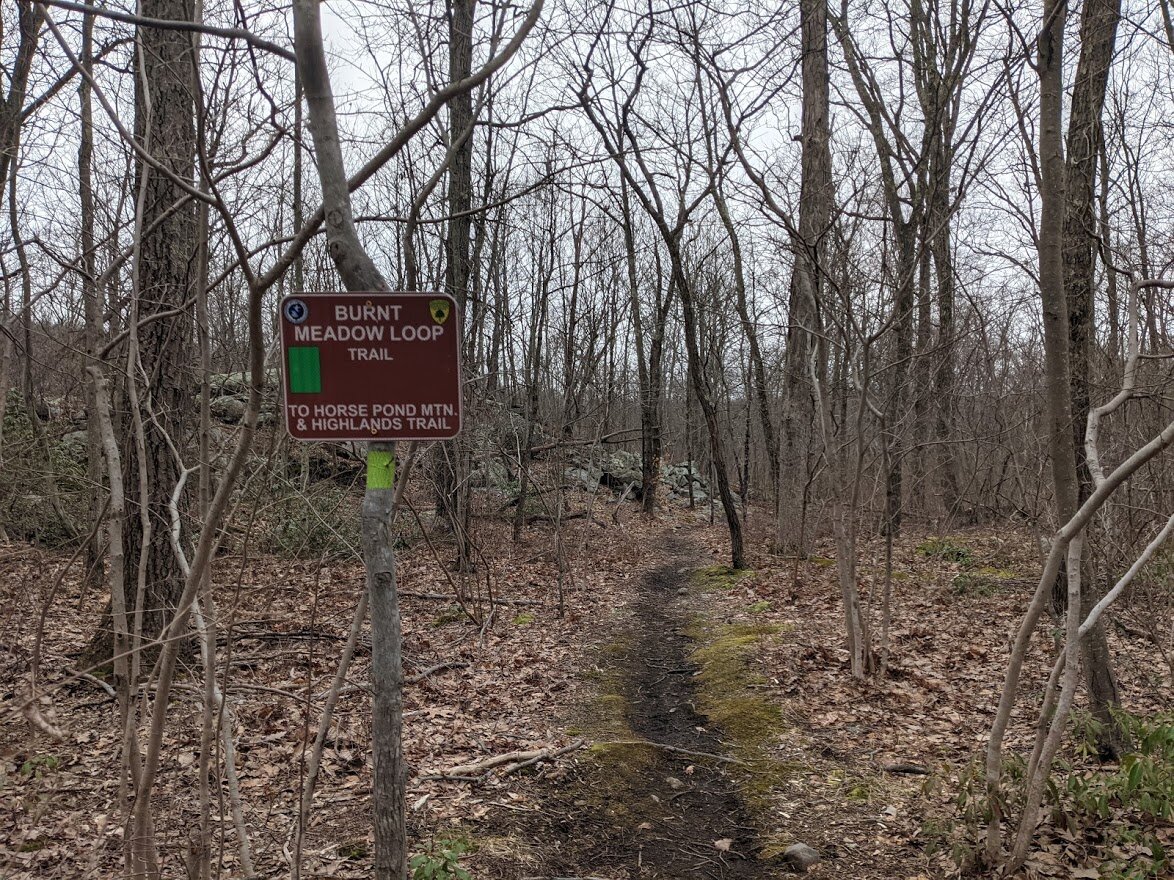
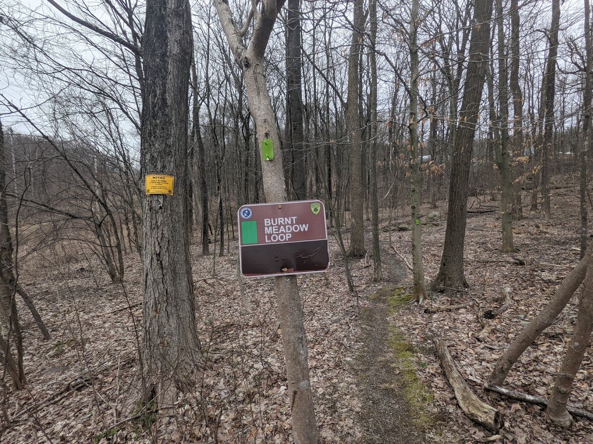
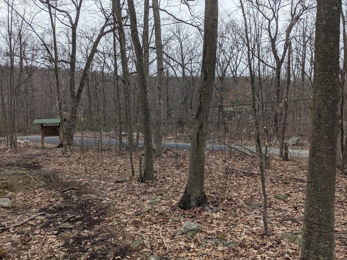
A. The Burnt Meadow loop (green blaze) south entry point (where I started). This entry point comes with a kiosk and a map, for those who need one. The climb is long, steady and steep with just a teensy bit of scramble in the middle for good measure. If you plan to walk the entire loop, I recommend this as your starting point.
B. The Burnt Meadow spur trail (green with black dot). If parking is at capacity at the south entry point, then by all means, park on the side of the road across from Shiloh Bible Camp and head up the spur. The sign is pushed back from the road. If you find the grate on the side of the road, look up: you’ll see the trail directly in front of you. This entry is a short, steep climb and there will be additional climbing once you get to the Burnt Meadow Loop.
C. The Burnt Meadow loop (green blaze) north entry point. No kiosk, no map, and not a lot of great roadside parking. I would make this your very last option. Climbing up from this point is a terrific mild grade most of the way up. When it gets steep, you know you’re close. There is also a peekaboo view along the way.
D. Highlands Trail (teal blaze) north entry point at Long Pond Ironworks (park at the museum), or the Highlands Trail (teal blaze) south entry point at Lake Riconda Drive. You’ll be doing more hiking, at least one mile from either direction, add on more from the south entry point for the spur trail. I haven’t hiked this portion of the Highlands yet, so I can’t speak to the terrain, but I have learned that the Highlands is mixed, mostly moderate. I’m assuming this holds true of this section. Also, the Lake Riconda Drive parking area is in a private community with roadside parking for one, maaaaybe two cars. I don’t know how friendly they are toward hikers, so if the lot is full: find a new place to park and enter. As you see, there are five options to choose from. I would only park at Lake Riconda Drive if you were intentionally meaning to hike in via the Highlands as the spur trail is quite lengthy as far as spur trails go.
The way the trail looks, I’m going to go out on a limb and say that most folks only climb Horse Pond Mountain for the view and don’t bother with the rest of the trail, but that’s where they are wrong because the rest of the trail is oh so right. Not many views, but who cares? You get to know the area in a way that most people don’t bother to know.
If you have a look at the photo gallery, you’ll see exactly what I mean.
PS. I’m a big fan of Avenza maps, because the NY/NJ Trail Conference maps for this area are free to download, but be aware that they have no contour lines and details that might be important for navigation. There are two points on this trail where it is not marked clearly, and the paper map may come in handy. Also, I had accidentally left my Garmin watch at home so I wasn’t able to track my mileage and elevation as accurately as I would have liked. I used AllTrails app to track my hike, which is why I used it as the link for the “Explore It” button. The elevation are non-specific but give you an idea of what to expect from this loop.
Norvin Green State Forest
Burnt Meadow Loop
Total Mileage:
3.3 miles
Total Elevation:
604 feet

You'll find the parking along Burnt Meadow Road for all entry points. The south entry point has the most parking available. One side of the road provides parking for 5-7 cars.
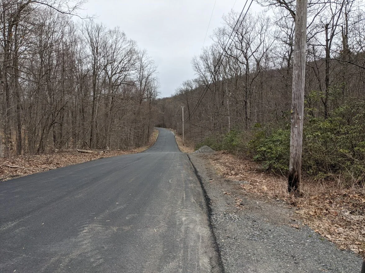
Plenty of pull off space just before the paved road ends.
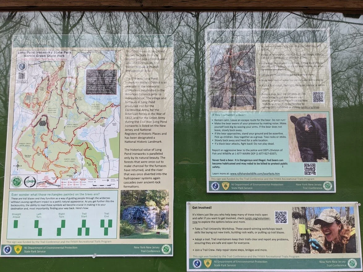
The kiosk provides the same information as the others: map, bear danger and NY NJ TC info.
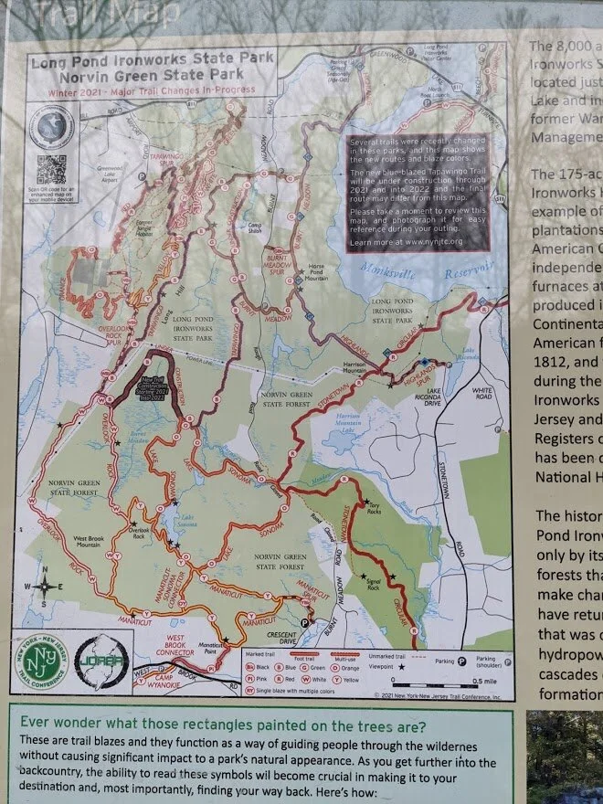
The new map (pictured above) differs from my printed version (2017), so this is a great reference to have. It is not a contour map, so using this in addition to either the paper map or an app such as AllTrails will help if you get turned around on your hike. The Avenza map is the same as the kiosk map, if you have previously downloaded the Long Pond Ironworks map.
The south loop entry point, headed east toward Horse Pond Mountain.
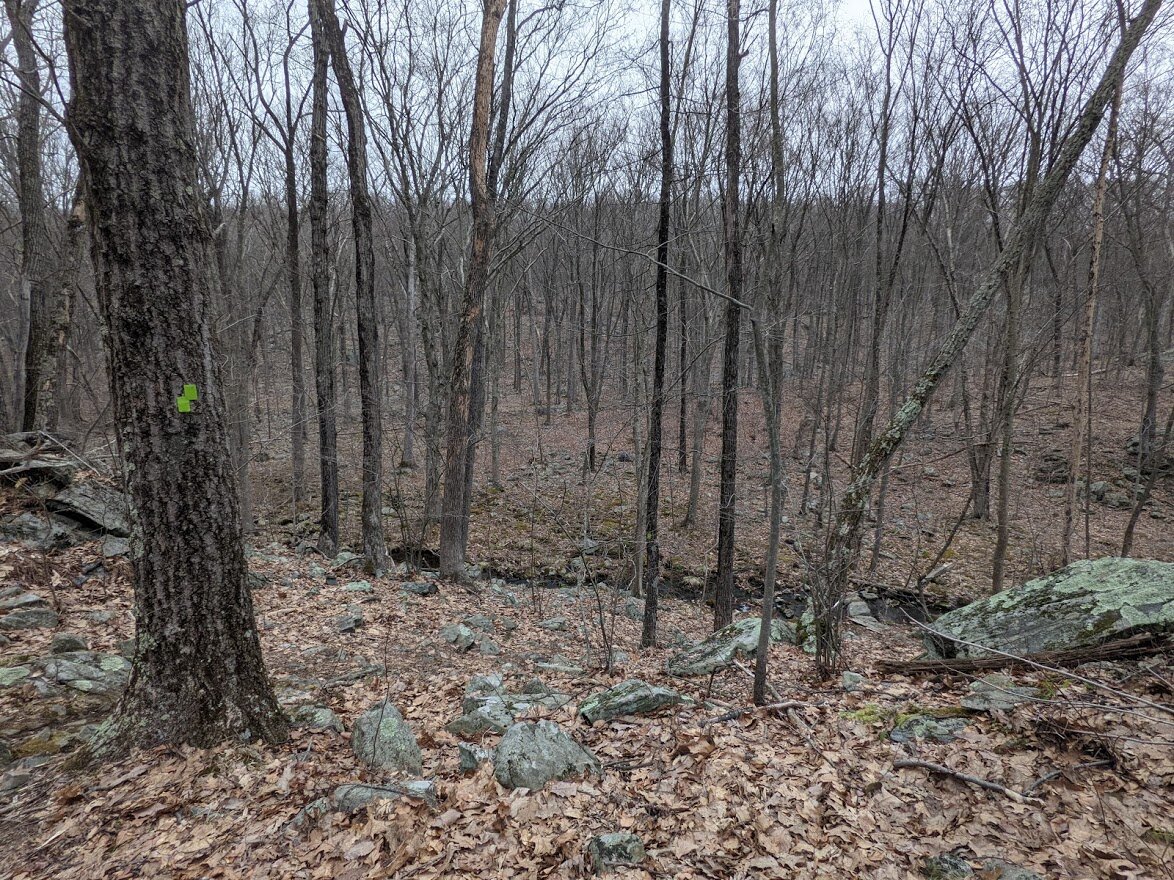
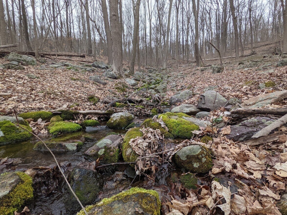
The trail starts out typical of the area: moderate rocky terrain and a brook crossing.
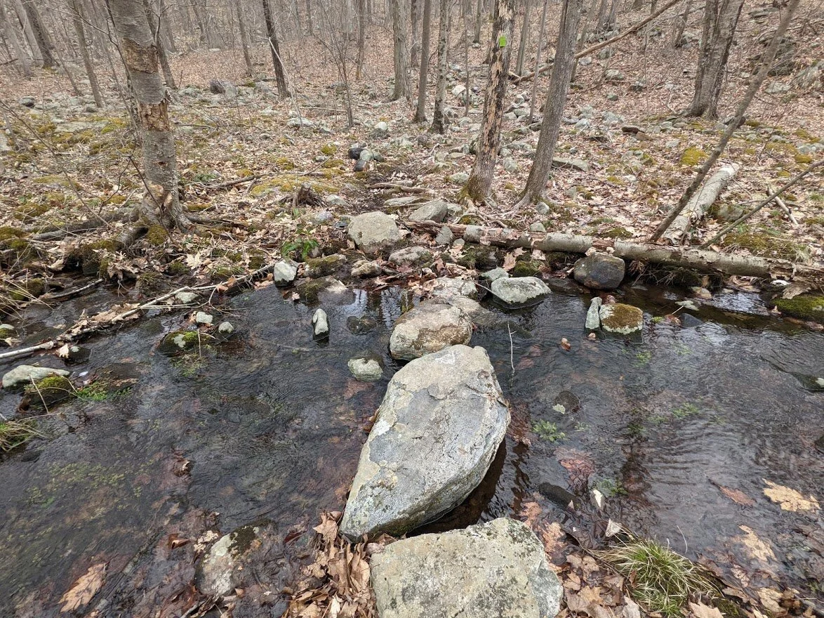
Hiker glee: when you have an easy brook crossing. Thank you maintenance crews!!
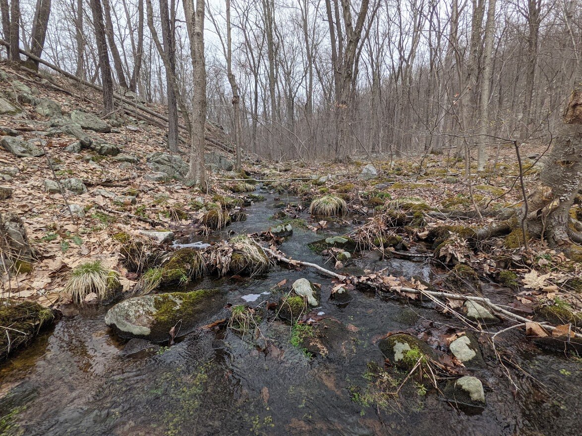
The very pretty brook turning green with the onset of warmer weather.
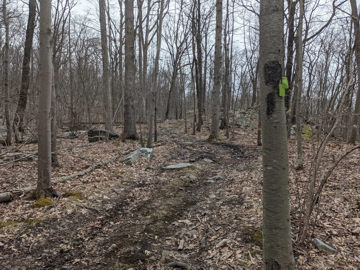
Though the trail has some twists and turns, it is not winding. You do have to travel in a southerly direction a piece before you head northeasterly (and up the mountain).
You'll also join, leave and rejoin woods roads along the way. These short walks on the road in the spring are littered with mud. Wear appropriate footwear to travel through the mud, not around it. Walking around damages the delicate ecosystem and widens the trail, which creates larger mud pools.
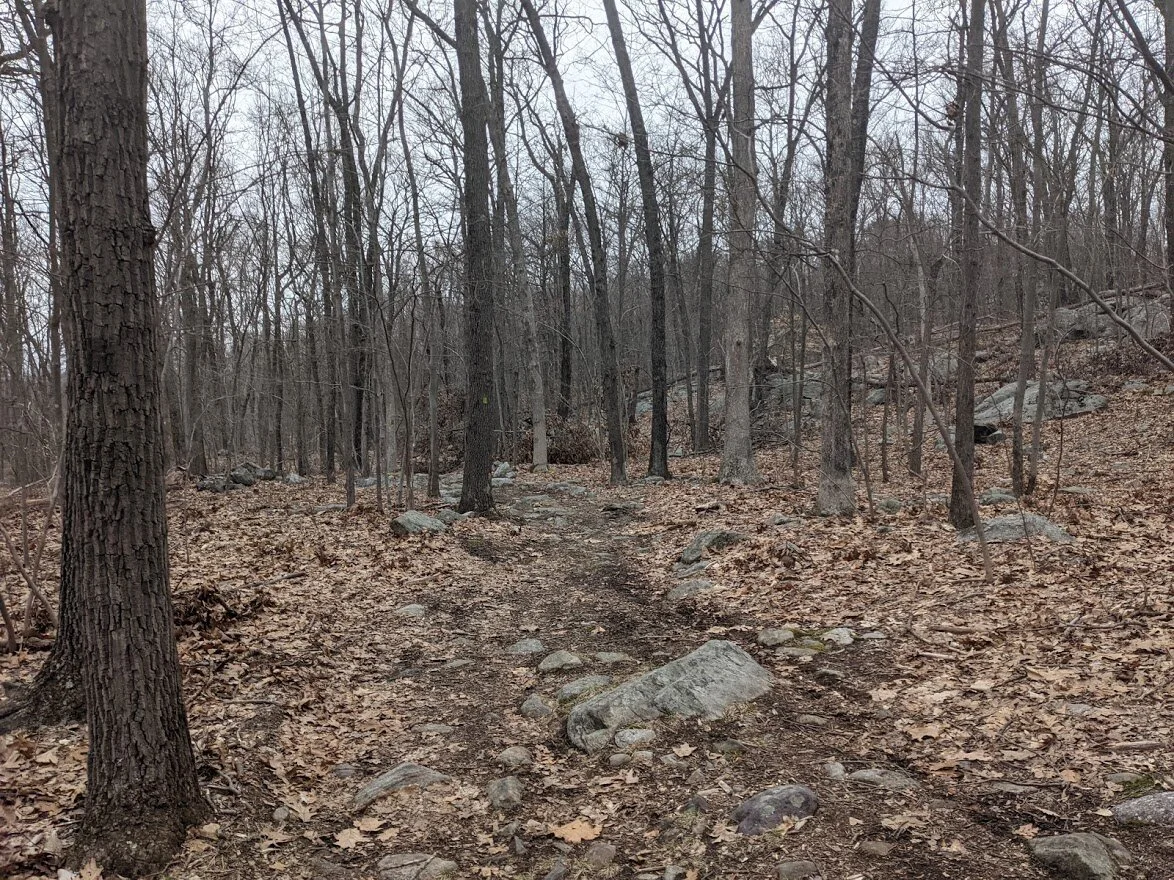
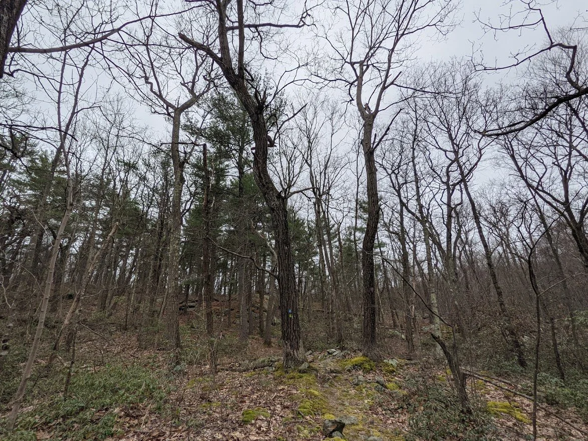
On this side of Horse Pond Mountain, rocks litter the trail. This won't be the case for your entire hike.

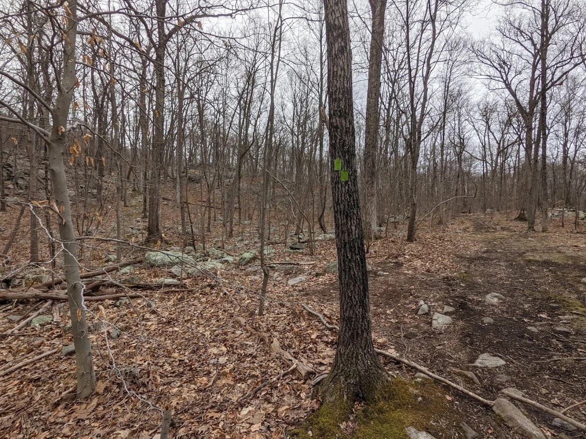
Large pools of muddy water along the trail in a few spots. In the summer months, these may dry up a bit but will always be soggy and muddy.
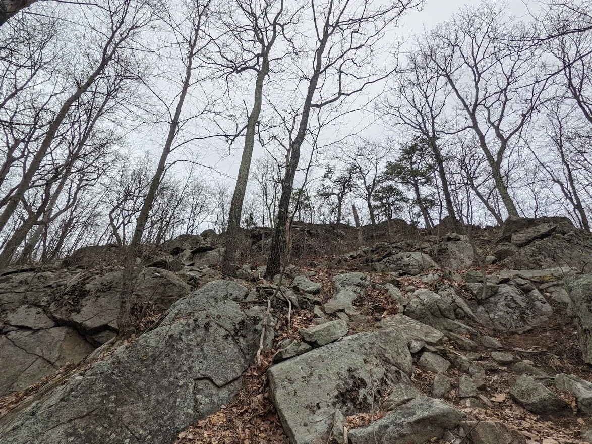
Yes! That is the trail! Only one spot where I used my hands to climb, and as always, that's because I'm short. It looks worse than it is. This is the fun part of getting up the mountain!
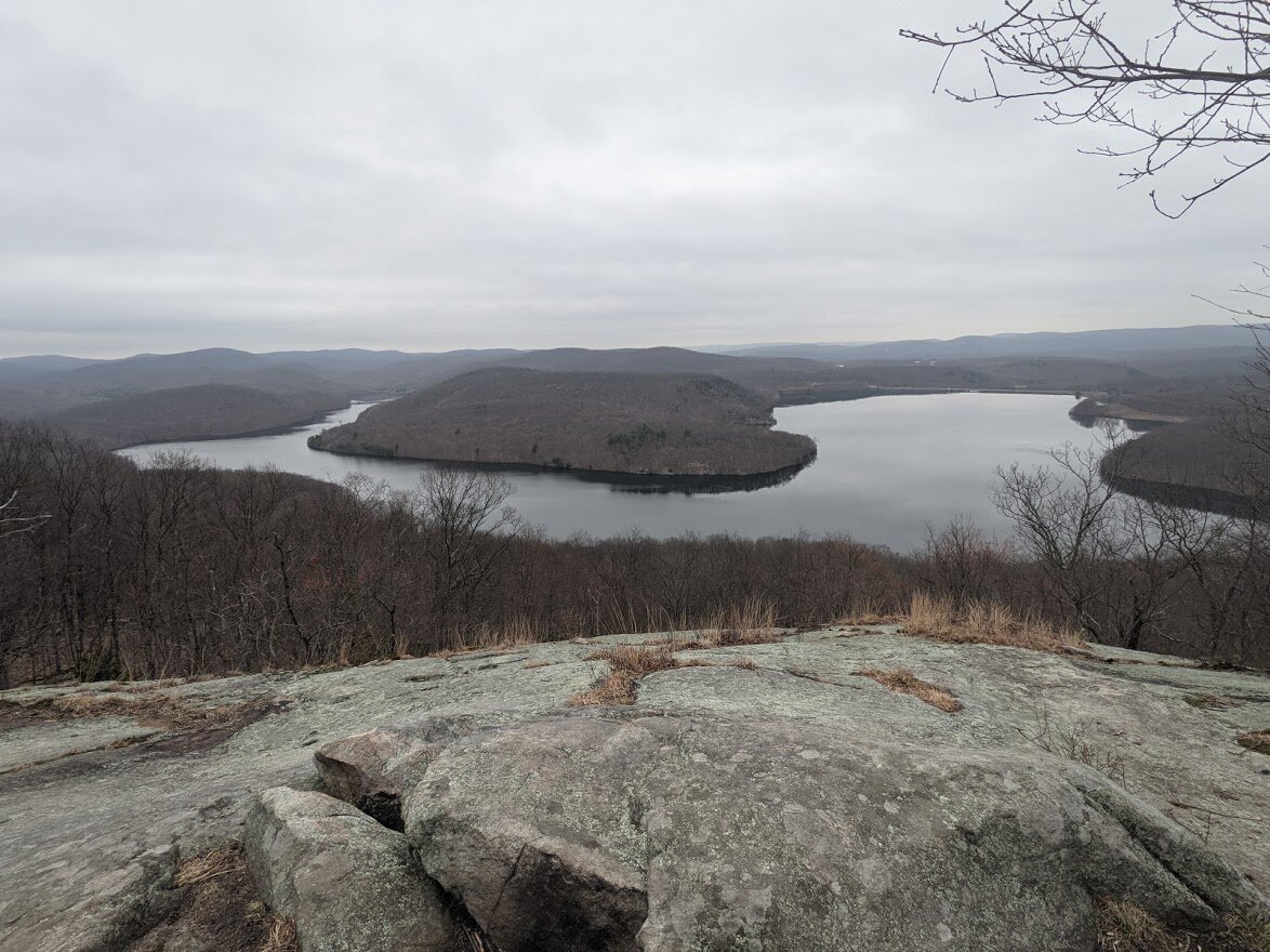
Once you pass the steepest portion of trail, you pop up onto this scenic view and join the Highlands Trail (teal blaze). If you remember my hike from Overlook Rock, you'll know that the power lines in the distance are the exact power lines you cross beneath on that loop.
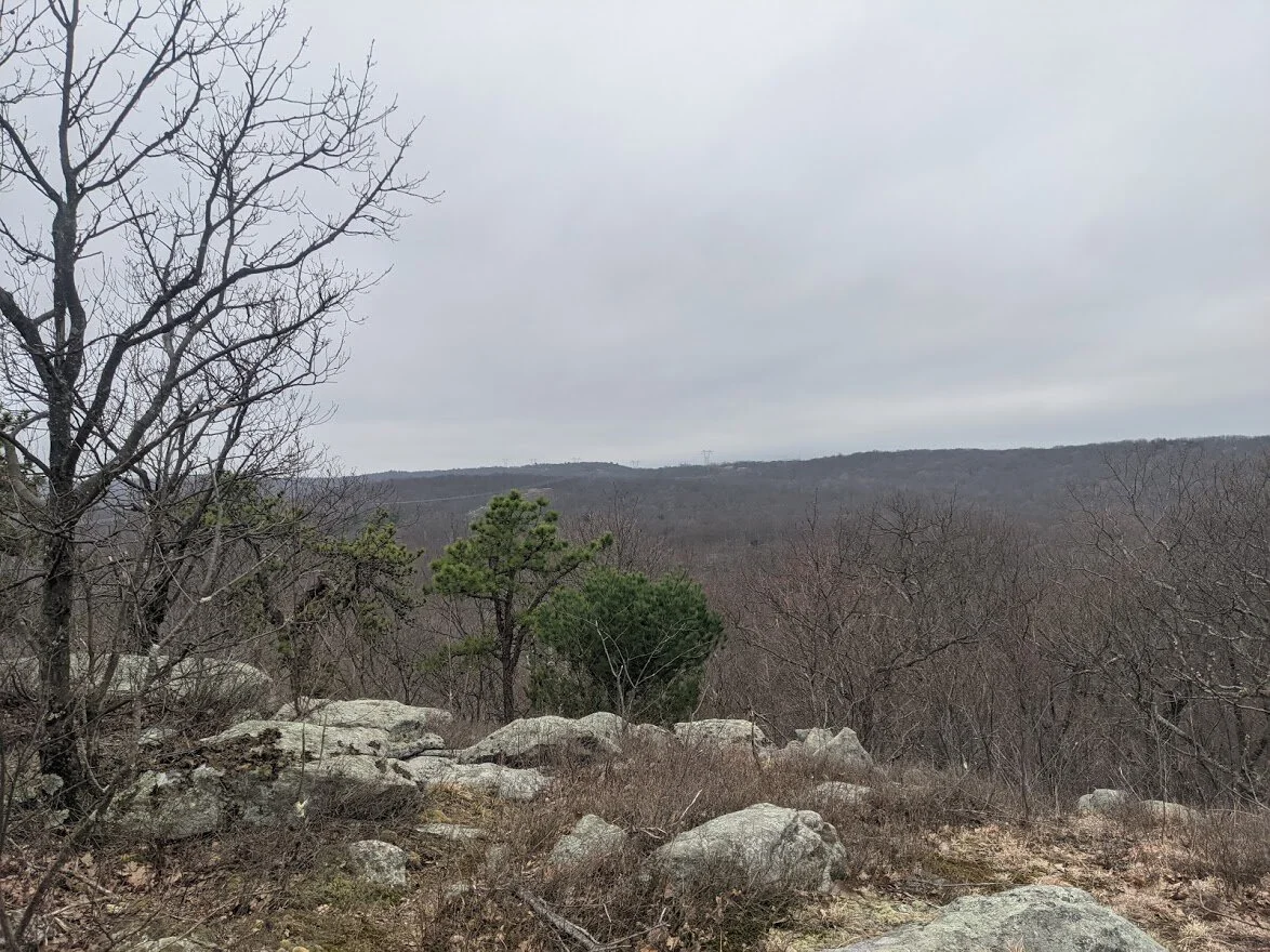
The view of Monksville Reservoir is just barely visible in the wintery months. It's very pretty but it isn't the wow view.
To get to the awesome view you first need to do a bit more hiking. You're climbing, yes, but for the most part its gentle. Some rocks to push and pull onto but it's very straightforward.
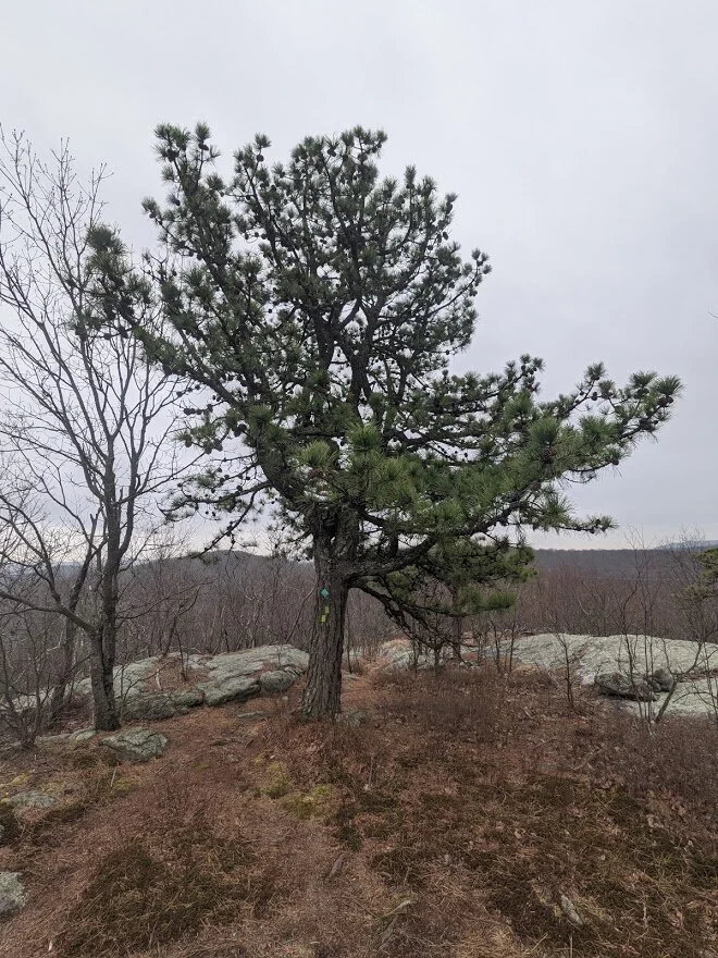
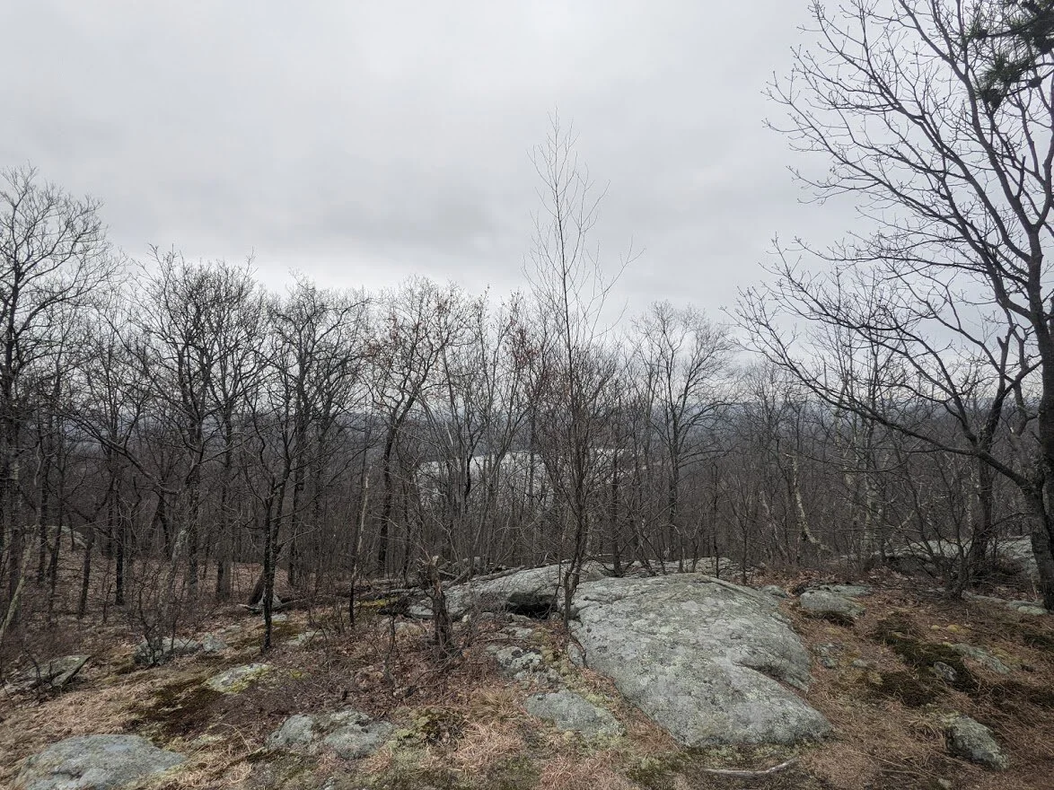
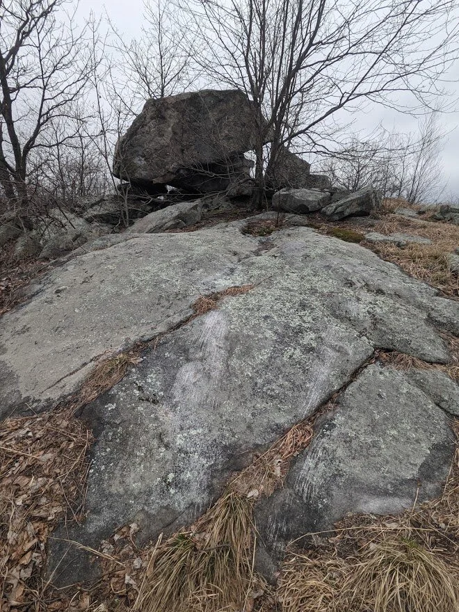
Were you to continue south along the Highlands Trail, you would pass this beautiful tree and immediately head down the mountain.
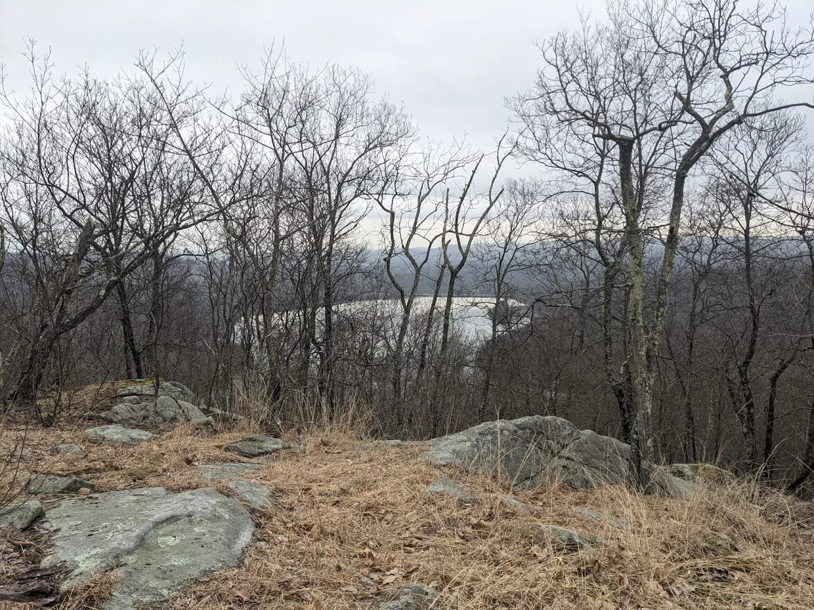
Just a little teaser for what is to come.
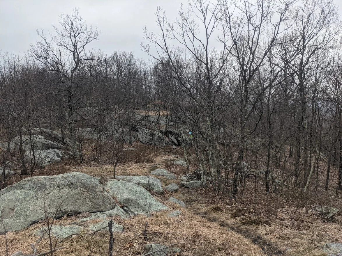
These teaser views are dappled along the trail, each one better than the last.

LOOK AT THAT GLACIAL STRIATION! Oooh! Ahhhh!
Ok, don't get distracted by the view...
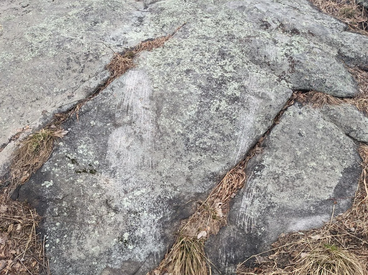
.. because there are more glacial striation marks all over this particular area.
What a beauty!
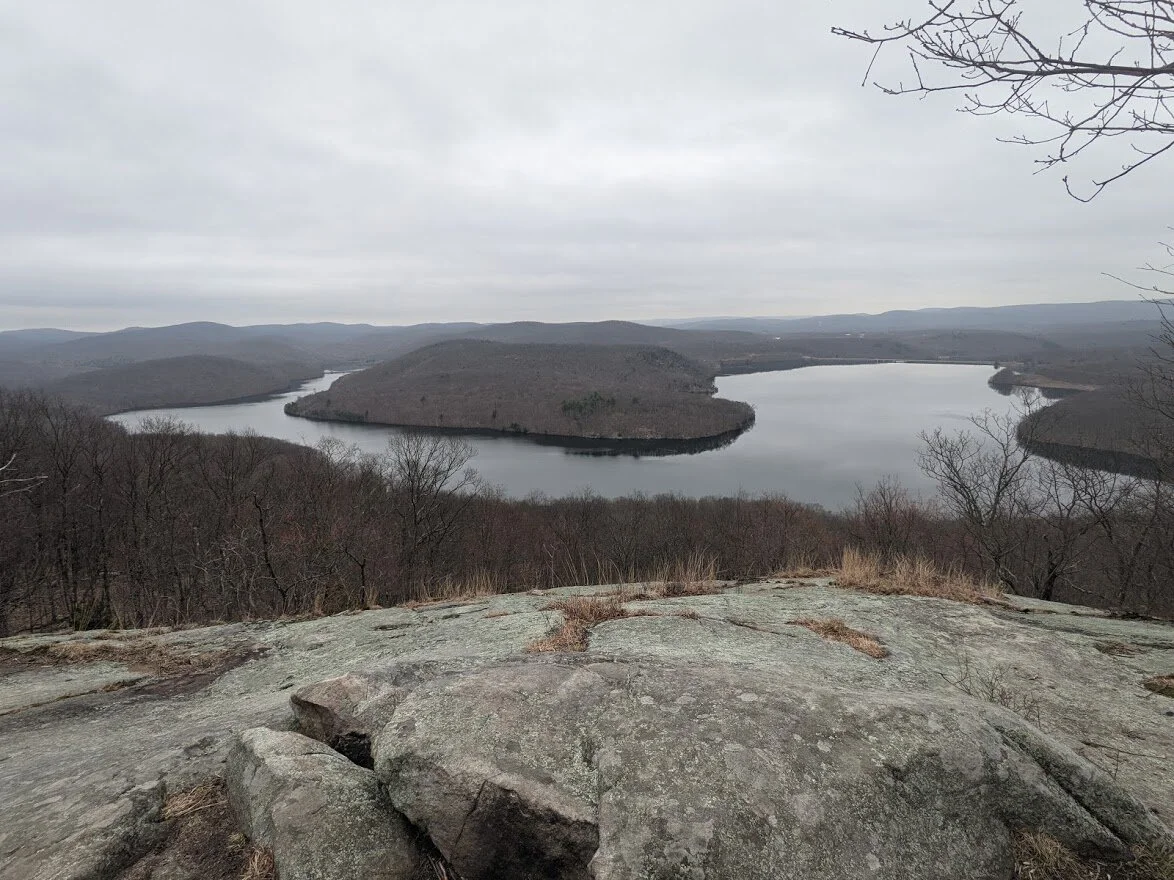
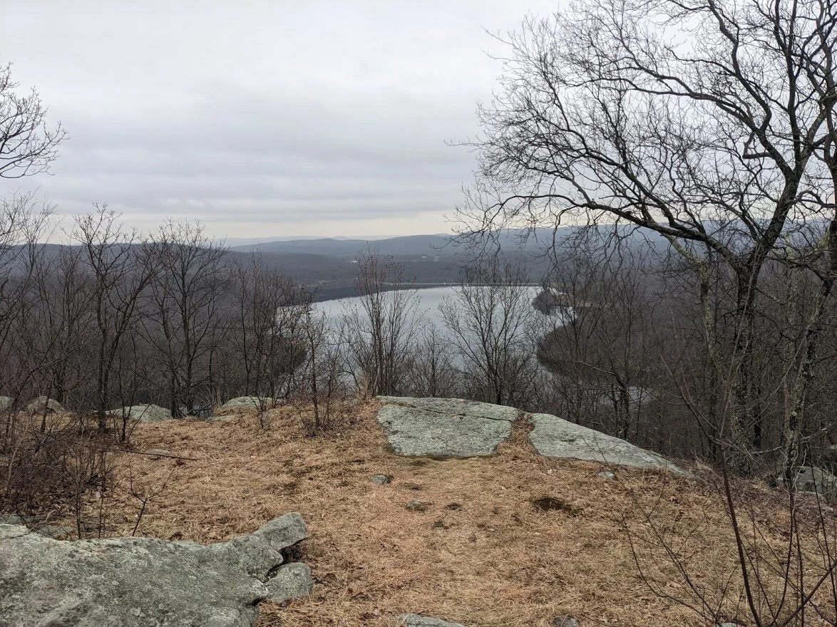
Oh yeah, and there is a view, too!

Monksville Reservoir, Monk Mountain and Monskville Dam are all visible. There was one lone kayaker in the water in a bright blue kayak. I watched it make its way around the shore line of Monks Mountain from here.
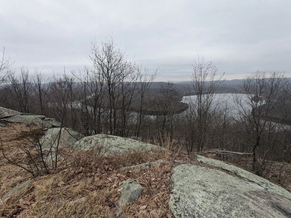
It's not a 360 degree view, so here I'm looking as far north as possible.
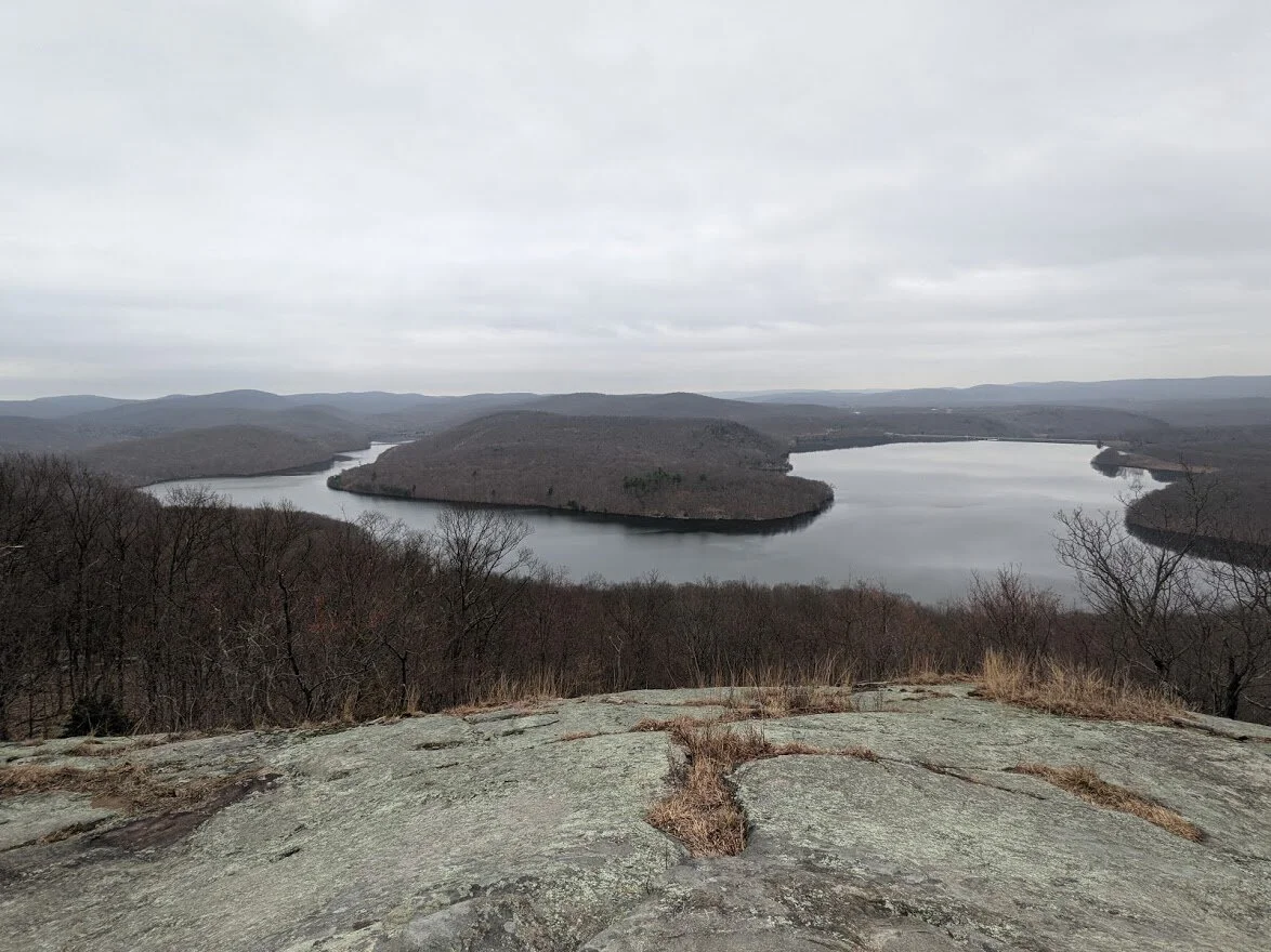
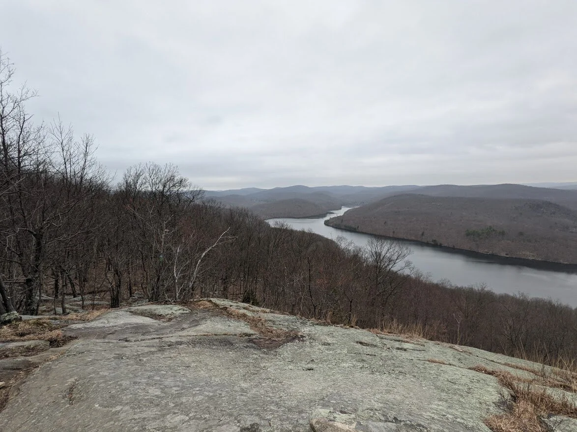
Straight ahead.
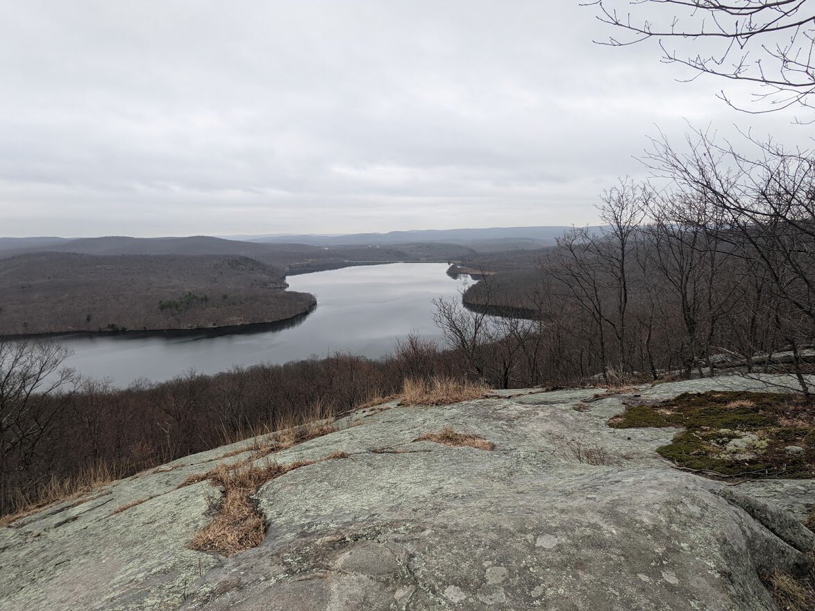
Looking south-easterly direction.
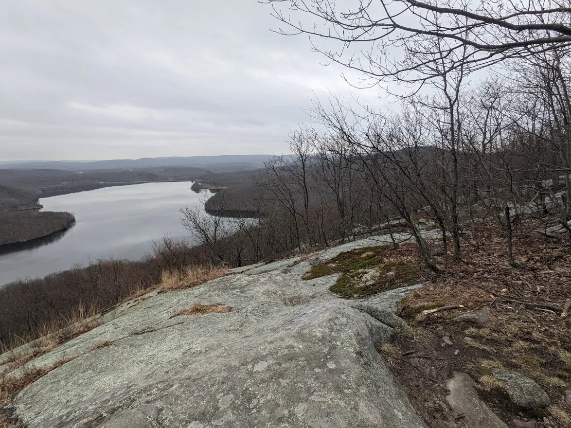
I visited this spot on another rainy day (rain doesn't bother me) but you can imagine the view on a gorgeous sunny summer day when the reservoir is filled with people floating in kayaks or inflatables, SUPs or the like.

Once you've taken in the view, it's a steady descent. At first steep, but then the grade really gets nice and the terrain is EASY (whaaaaat????) and you can make great time. I did take out my poles for the steeper section just for some reassurance.
As you get closer to the north portion of the trail, you start to see private property. You're walking in a small strip of land owned by the state between homes, so please be respectful. I liked this perch.
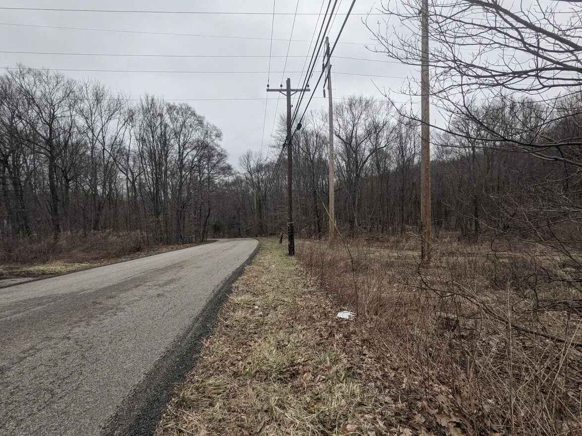
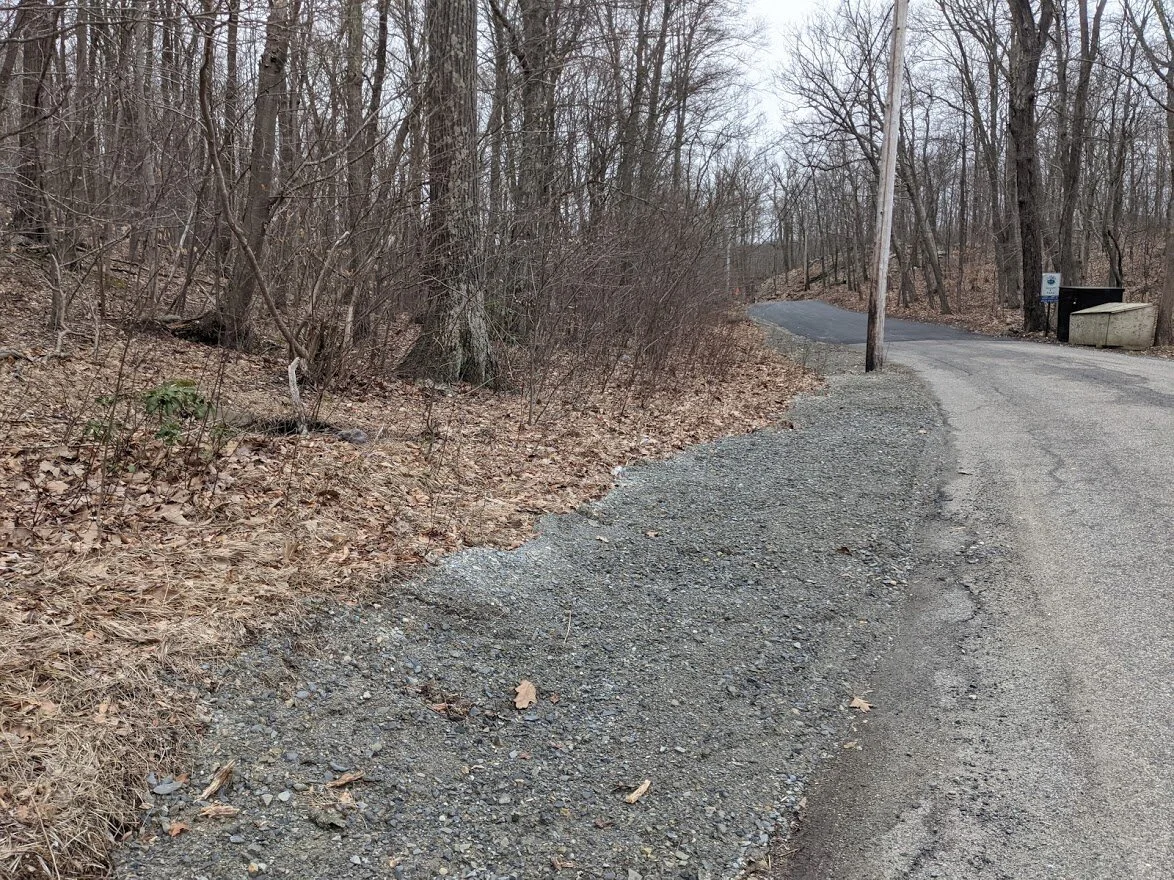
The Highlands Trail joins the Burnt Meadow loop not far from the northern road crossing. The signage from the road is decent. No kiosk, no map.
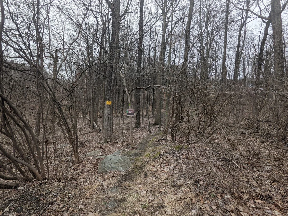
You have to be on the lookout for the signage if you're trying to find the trail while driving as it is set back from the road.
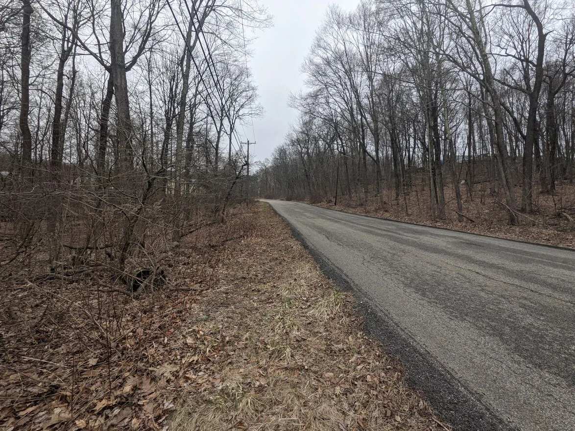
Just enough pull off space for one or two cars. The other side of the road is not good for roadside parking. Not far from here is a woods road for the power lines. DO NOT BLOCK that road even though it looks like a great place to park.
Here is spot #1 where the trail is not well marked. There are 0 green blazes anywhere on the continuation of the Burnt Meadow loop. Looking at my map it was easy to see that the trail follows the power line road for a short stretch. There are no visible blazes on the woods road, either, so just keep walking. Eventually you'll see them.
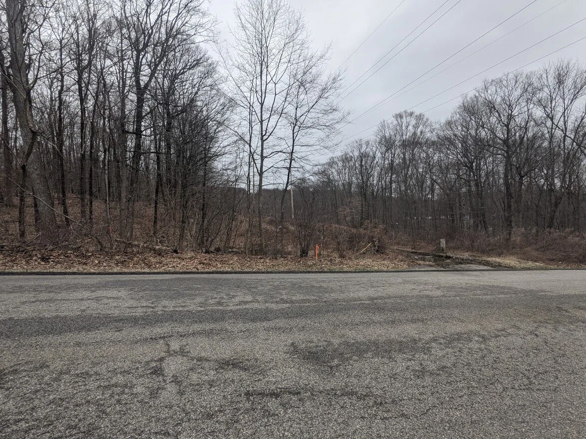
Looking at pull off parking on Burnt Meadow Road. It is deceptive because it looks like good parking, but in reality, it only will hold a few cars before you block the power line road.
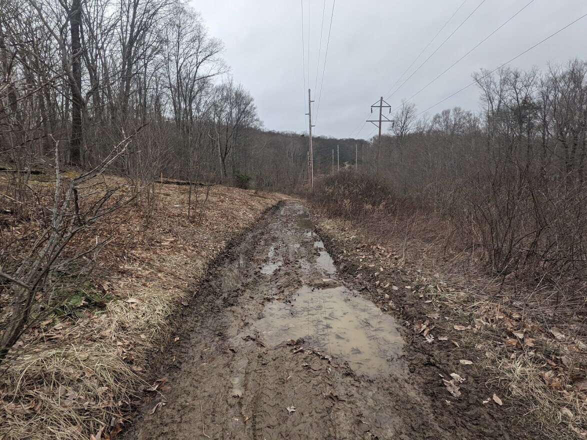
The road along the power line is a true example of mud season in NJ. This whole section, until you head up the mountain, is a slippery mess. Wear appropriate footwear and have fun splashing through the mud puddles!

Where the trail turns away from the road, flooding had occurred. It wasn't tough to get through, but it was pretty slick under the standing water.
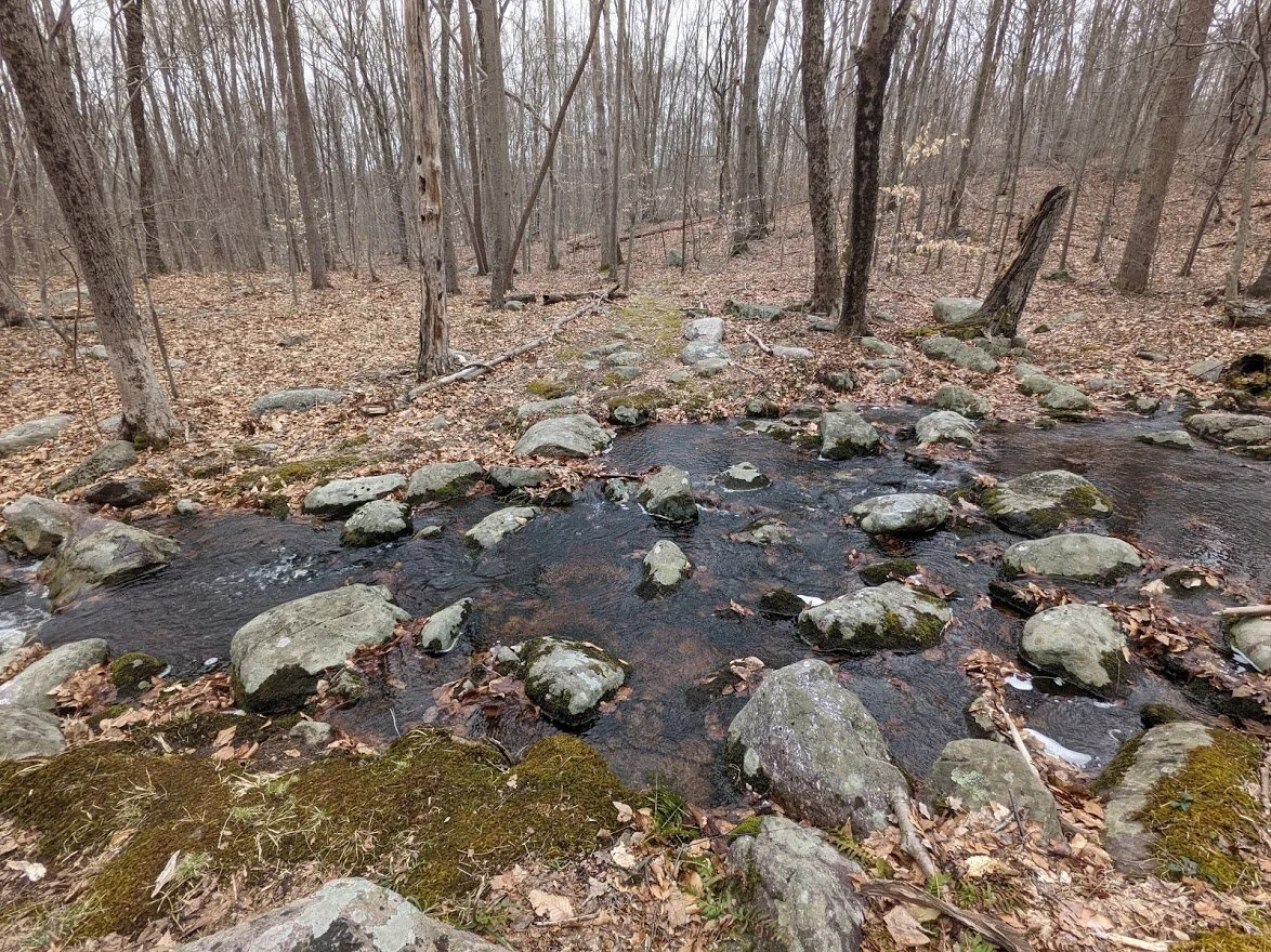
You'll cross this adorable brook easily.

The next crossing is a little bit of a different story as Doctor Wobblestone brought his entire family here.
Then it's up. And up. And up some more. Of course it is. You can't have a road crossing without a climb shortly after. This IS New Jersey, after all!

You're going to walk with the NEW Tapawingo Trail for a nice portion of the Burnt Meadow Loop. The Tapawingo Trail (blue blaze) will be completed in 2022, so if you opt to follow it, just know that it will dead end along the Lake Sonoma Trail. For the time being, treat it as an out-and-back.
Still climbing up, but as you can see, headed for pine trees and greenery. Which can only mean one thing: it's about to start smelling real good!!
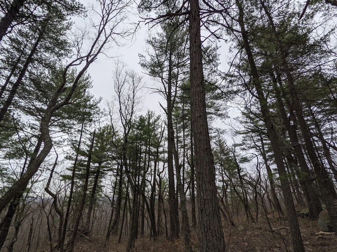
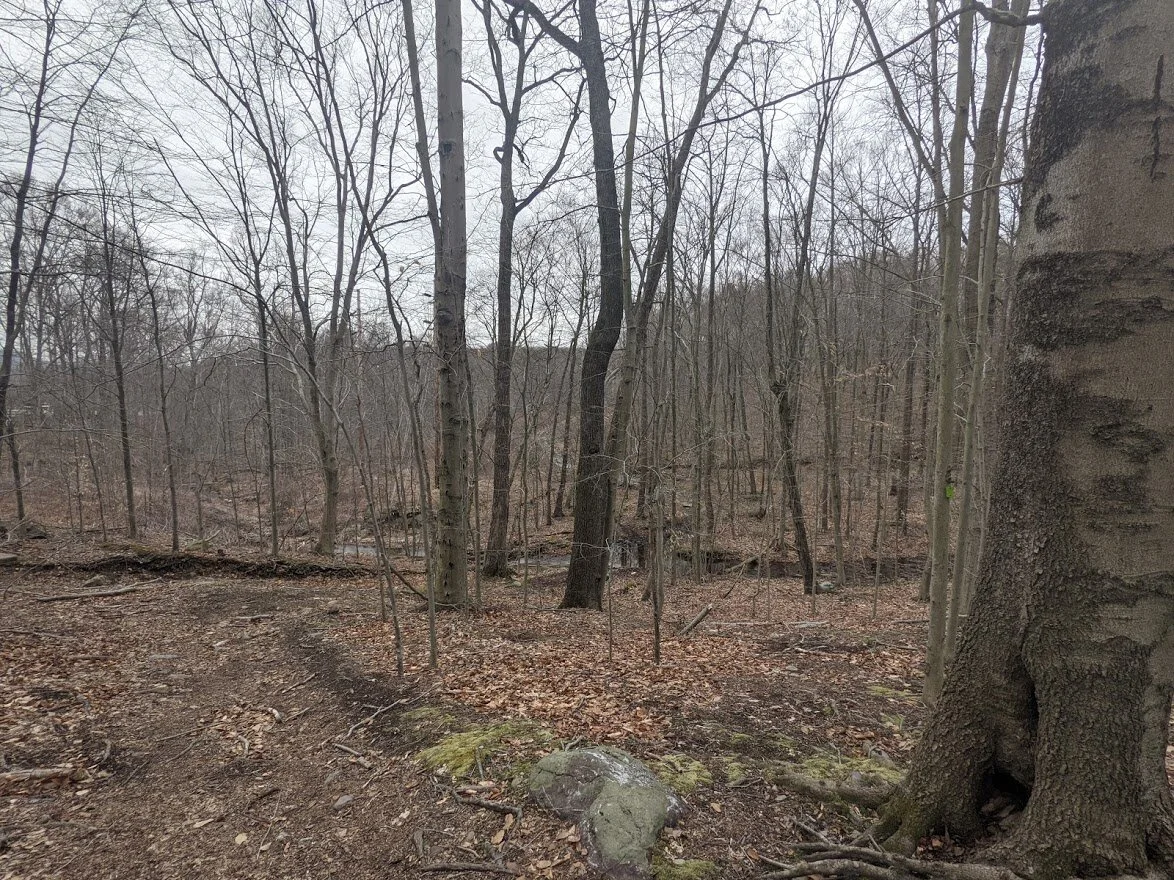
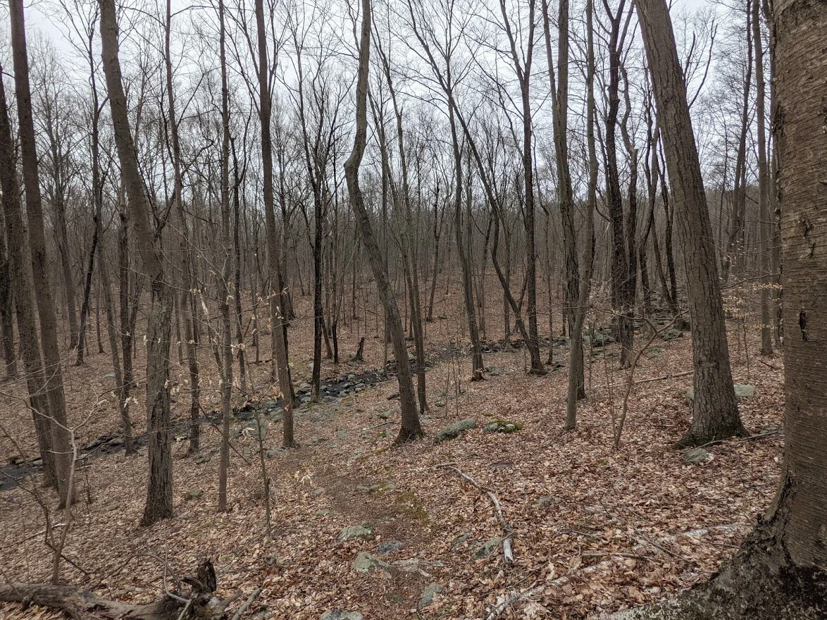
The majority of this trail winds through deciduous forest of mixed woods. This tiny portion is almost entirely pine. I love the pine sections the most.

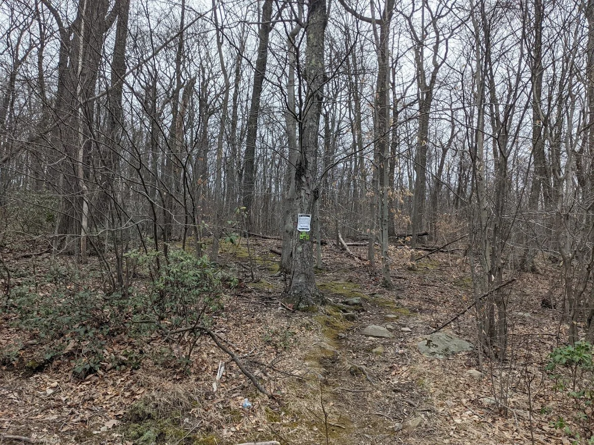
Here is spot #2 where the trail is poorly marked. You come to a fork in the trail, neither direction looks well traveled and the marker ahead of this fork only indicates to walk straight ahead. The actual trail turns a bit to the left. If you can't find the marker: follow the trail on the right between 100 - 200 feet and turn around, you should see a marker in the distance, even after the trees leaf out. The lesson here is, when in doubt: GO LEFT. I found an old thick dead branch on the forest floor and covered the path on the right. I'm assuming it's an animal path. Hopefully that will kinda' help with this confusing fork in the road.... errrr.... trail.
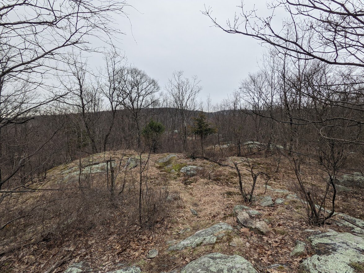
From the fork in the trail you start doing ye olde mini PUDs, which will continue until you rejoin the Tapawingo further along. At this little viewpoint, however, the Tapawingo will separate from the Brunt Meadow.

It's a nice little place to rest and have a drink or snack, though on this particular day, this was the point where I started to feel rain so I didn't linger too long.
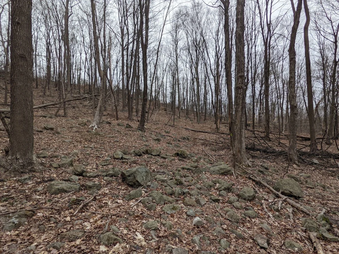
You go up just to go back down and the terrain gets worse as you move along.
You'll cross a few more seasonal brooks.
And then you head back up... just go to back down to cross another brook...
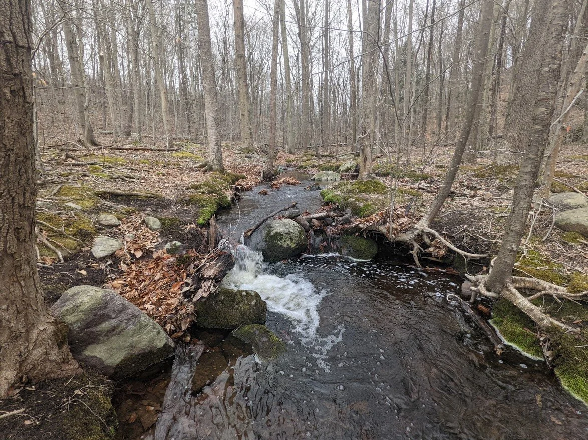
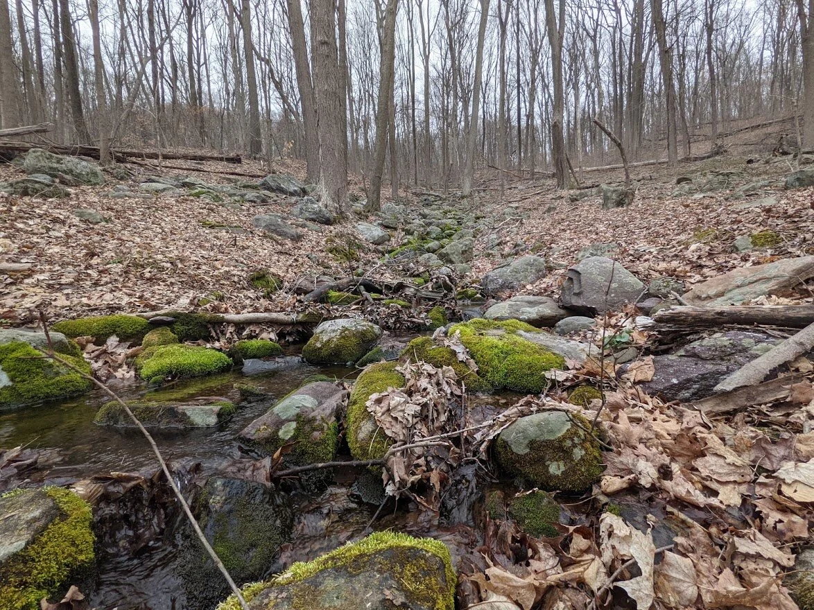
This brook is not so seasonal. This is the Burnt Meadow Brook proper and it means business.

But crossing wasn't bad. The rocks were stable, even if they were placed a little bitt too far apart for my stubby legs!
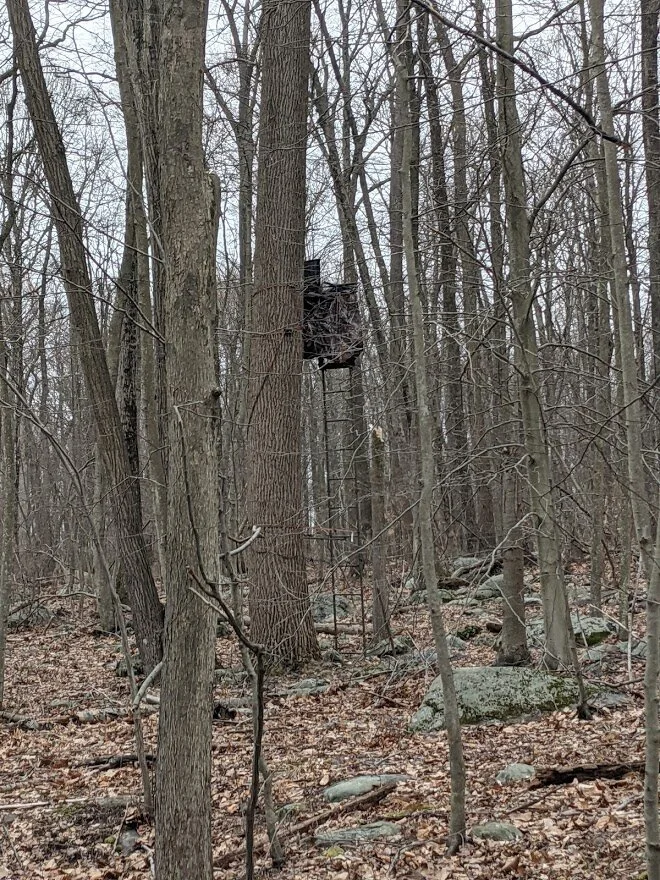
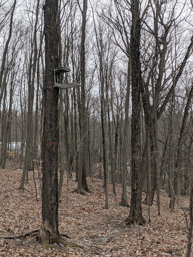
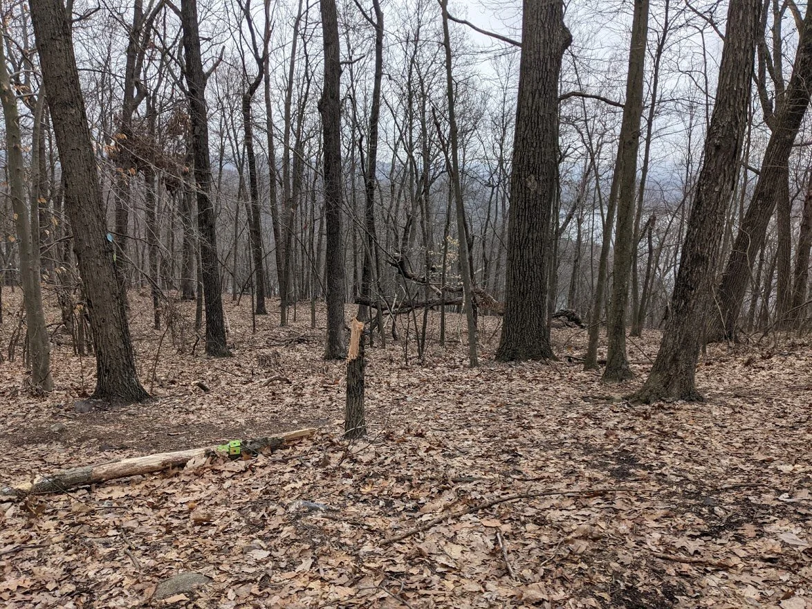
I thought this was interesting. Here's another hunting perch, but... what are they hunting? I know hunting black bears in this forest is illegal. Could it be for turkeys? Deer? I'm really not sure. I'm not a hunter, but I know a hunting blind when I see one.

Oh look! The Tapawingo. The new part is under construction still so the blazes just appear and then disappear again.
And just like that! Back at road! WHAT A GREAT TRAIL! I'm just pleased as punch with the Burnt Meadow Loop. Highly recommended!!
I missed the spur trail along the descent of Horse Pond Mountain, so I found it along the road. Just a little bit of roadside parking. Be careful - the bible camp is on the other side of the street, and I don't know how friendly they are to hikers.
The spur trail marking is not very visible from the road.
Super short trail, most of it up. But... this would explain why I didn't find the trail head on the loop!!

On my way home I pulled over at the boat launch and Monks Mountain parking area to see where I had been. This was the view from the parking lot....

... this was the view from the boat launch. The furthest mountain is Horse Pond Mountain, I believe. It's just as pretty from below as it was from above, isn't it???