
Where am I going?

Highlight Hiker Blog
April 27, 2021
Norvin Green State Forest
Highlands Trail NE Corridor
My original plan on beautiful April 27, 2021 was to take the Highlands Trail from West Brook Road all the way up and over Wyanokie High Point, then use the Hewitt-Butler (blue blaze) and the Mine trail (yellow blaze) back to the Highlands and my car. However, I failed to realize that I had to take a kid to an appointment until I was actually out there, and had to change plans mid-hike. Meh. These things happen. I started out too late and the Highlands in this section took me longer than I anticipated. As a result, you’ll see there are a lot of photos in the gallery until there aren’t. That’s because I was on a race against time to get home. Pat on the back: I made it. I was hot and sweaty, but I made it with time to spare!
But once again, the Highlands threw me a curveball. After all these years, I don’t often miscalculate how long a section will take me when looking at the map. The Highlands is the consistent exception to the rule. If you plan to hit this lovely section, give yourself a lot of extra time as the trail weaves back and forth and up and down and will take longer than you think. It took me one hour to get from my car to Blue Mine.
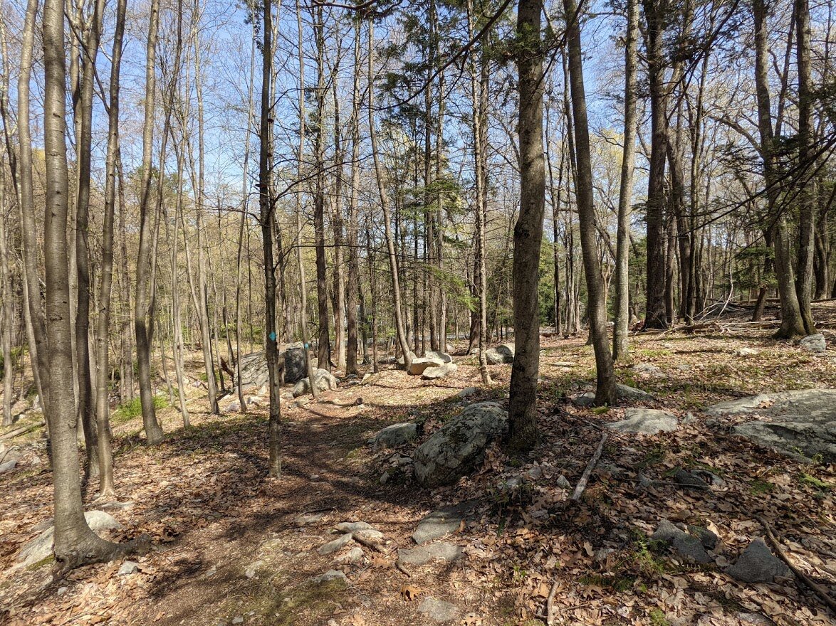
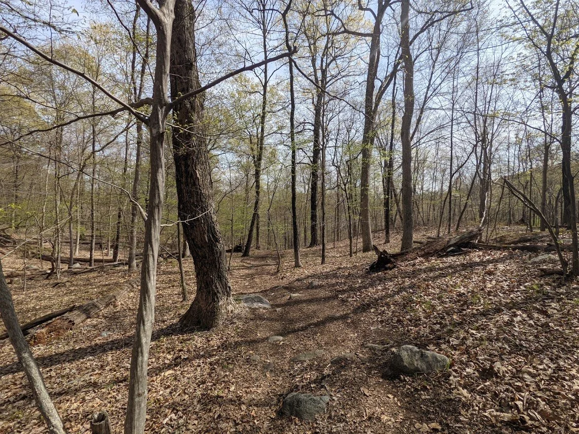
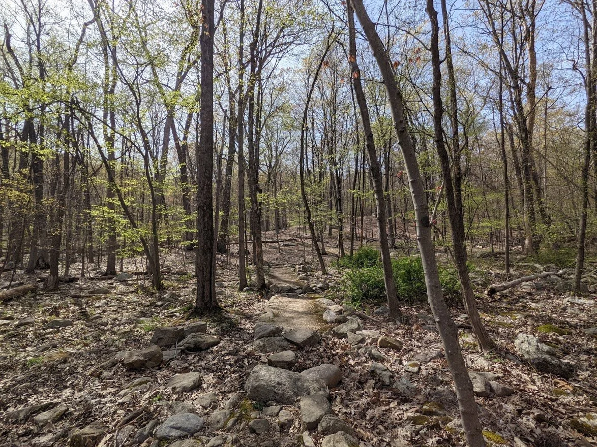
This sections of the Highlands is dappled with pine trees and glacial erratic and it’s easy to turn on the speed in sections where the terrain isn’t covered in rocks. Because there aren’t any specific viewpoints along the way, it’s a great single track off the beaten path, but as it gets closer to Blue Mine and the popular Wyanokie High Point, it does widen and you’ll meet folks along the trail no matter what day of the week you travel.
I visited on a gorgeous Tuesday afternoon and didn’t see a soul until I got to the Hewitt-Butler.
Road walking is… well, it’s road walking. Not my favorite thing. It’s loud, mostly, but this is where I interacted most with people, saying hello as I passed by ladies and gentlemen out on walks or sprucing up their yards.
Overall, I really adored this portion of the Highlands. I can’t say I would seek it out again and again, but the time spent here won’t easily be forgotten.
Norvin Green State Forest
Highlands Trail NE Corridor

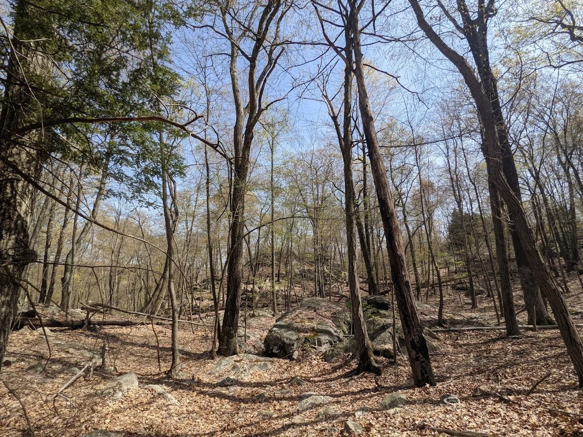
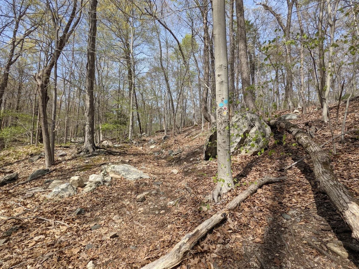
The trail starts out rather mild, but like all trails in the Jersey Highlands, you can to climb up to get in.
And per usual, the trail going up is amid boulders and rocks that tumbled down the mountains millions of years ago.
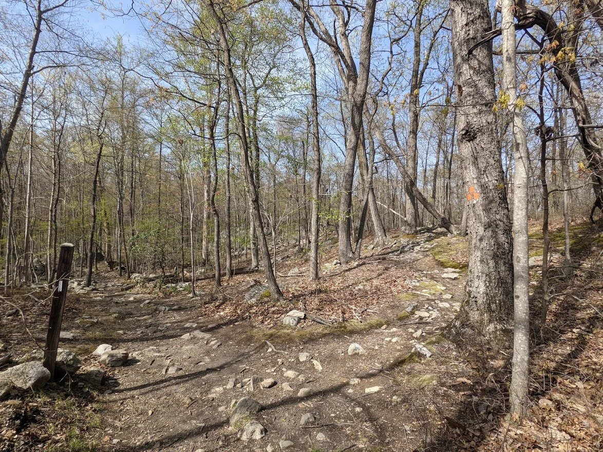
It doesn't take long before you run into the Roomy Mine trail (orange blaze).
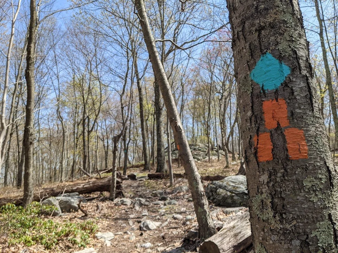
Teal meets Orange

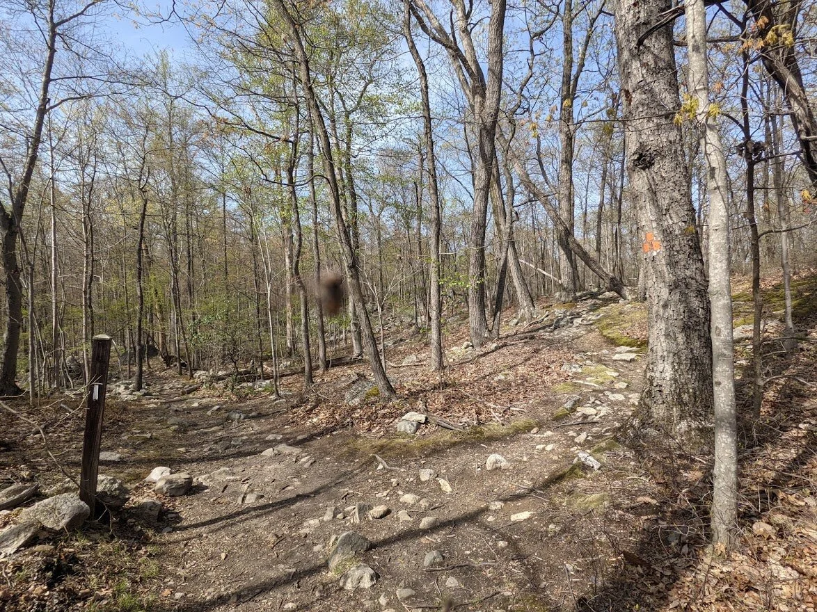
The Highlands heads southwest to the outer edges of the park.
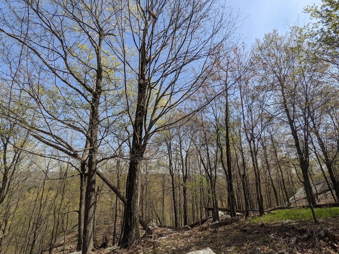
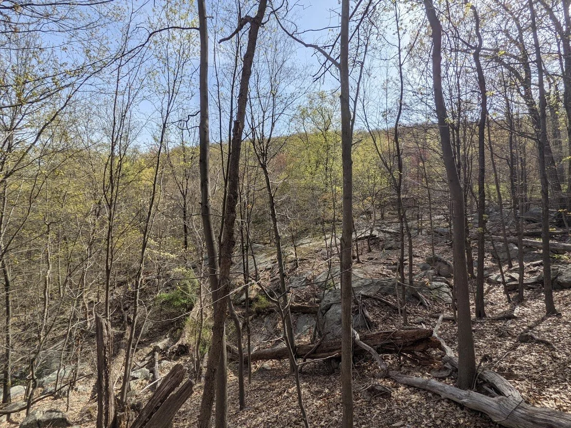
The trees throughout the corridor are amazing. If you're a tree lover, you'll like this section of trail as you're immersed in their world.
Some climbing up just to climb down, but nothing really difficult. This was about as steep as it got.
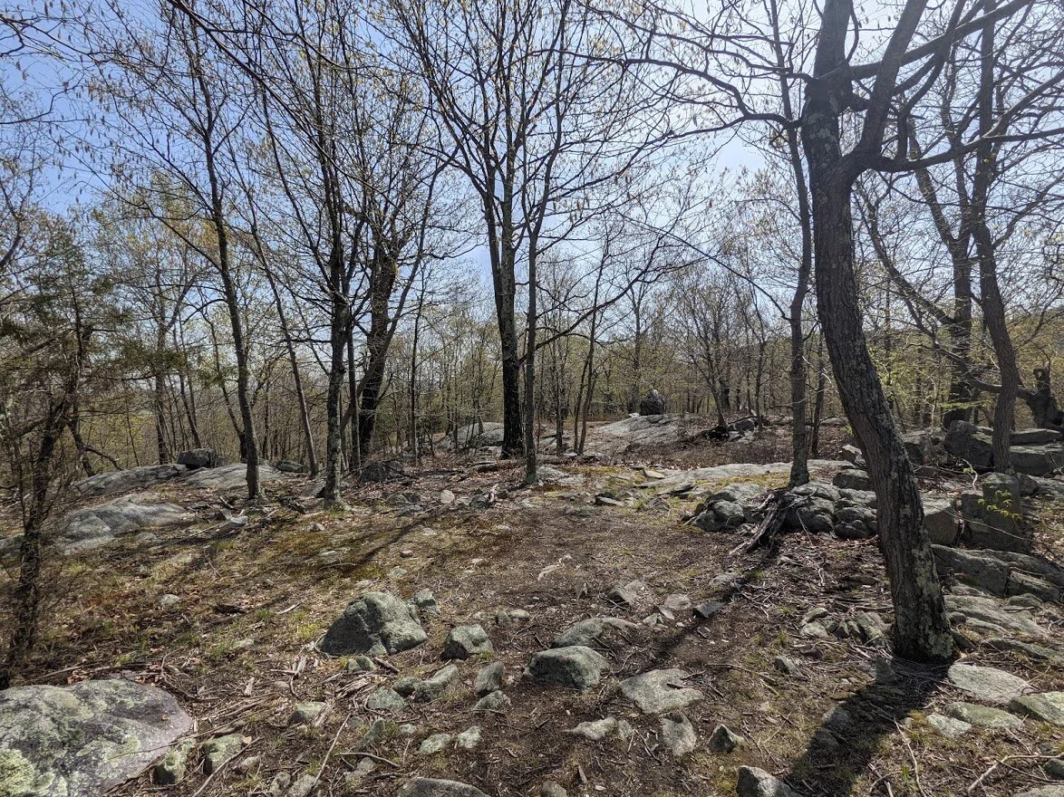
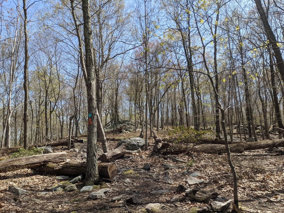
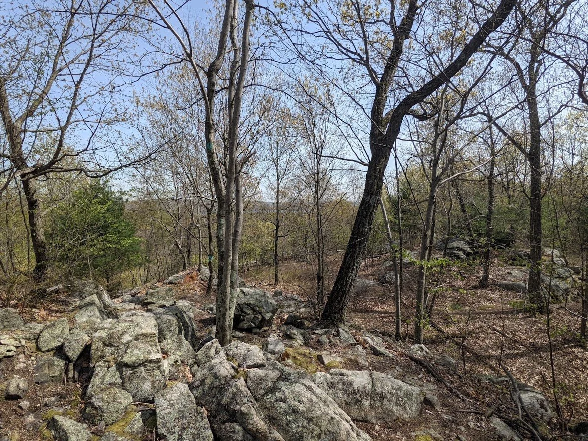
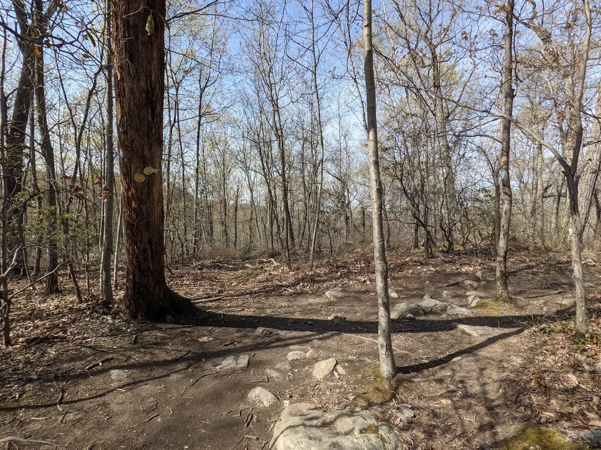
This hilltop along the trail was used for partying or camping, I think. I found not well hidden remnants of a fire pit (FYI: it's illegal in NJ to have fires in state land), and much of the grasses were flattened from use. Not sure why, though. There's no view and it doesn't seem much like a remarkable spot, other than the fact that it's flat.
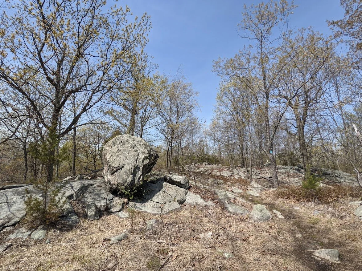
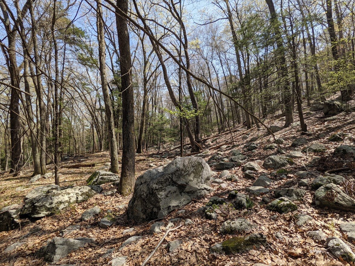
There was this really nice piece of glacial erratic though!!
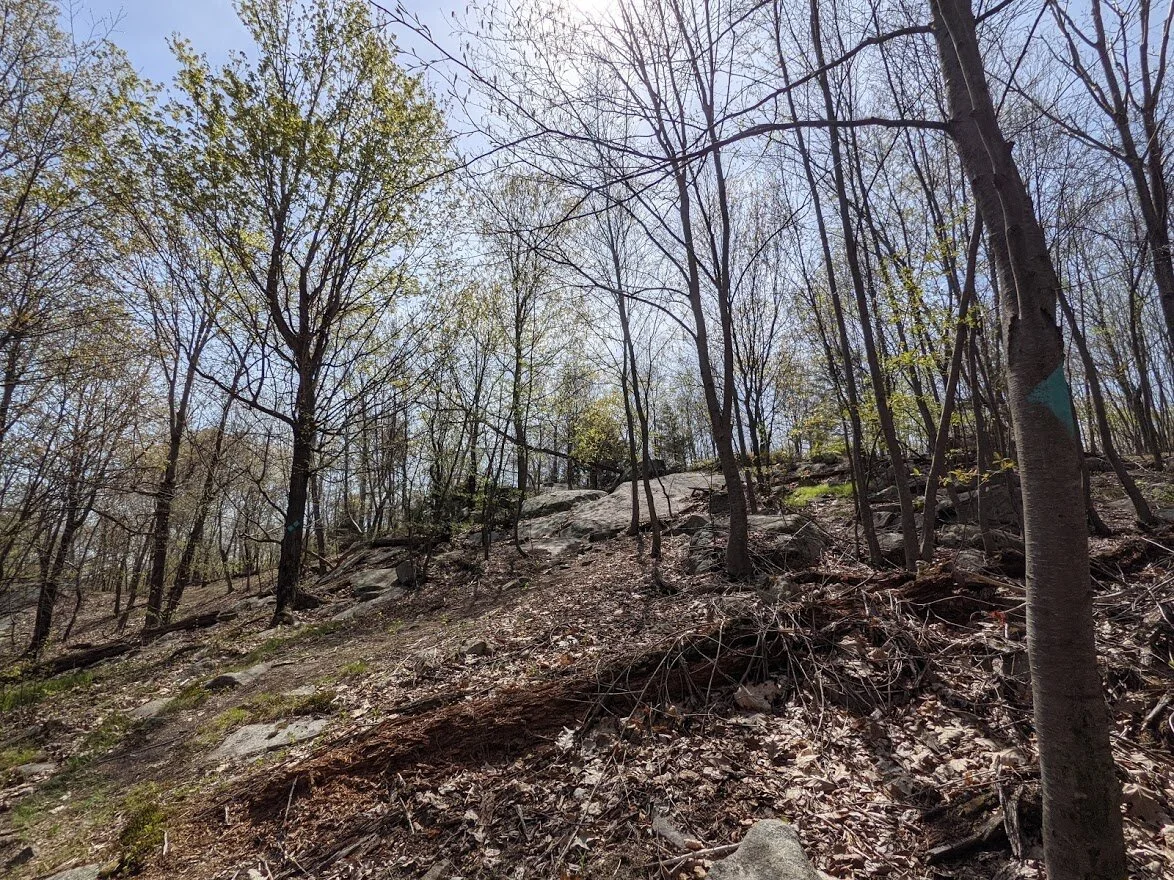
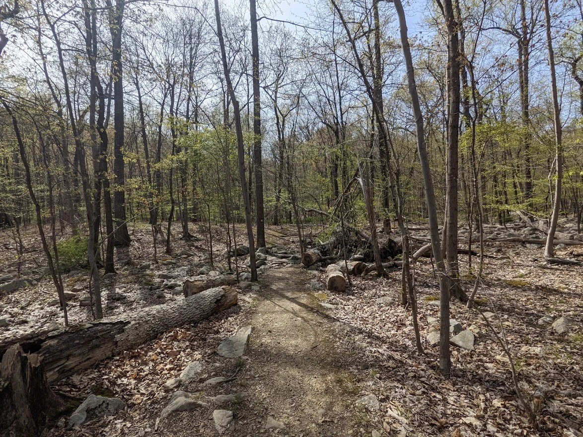
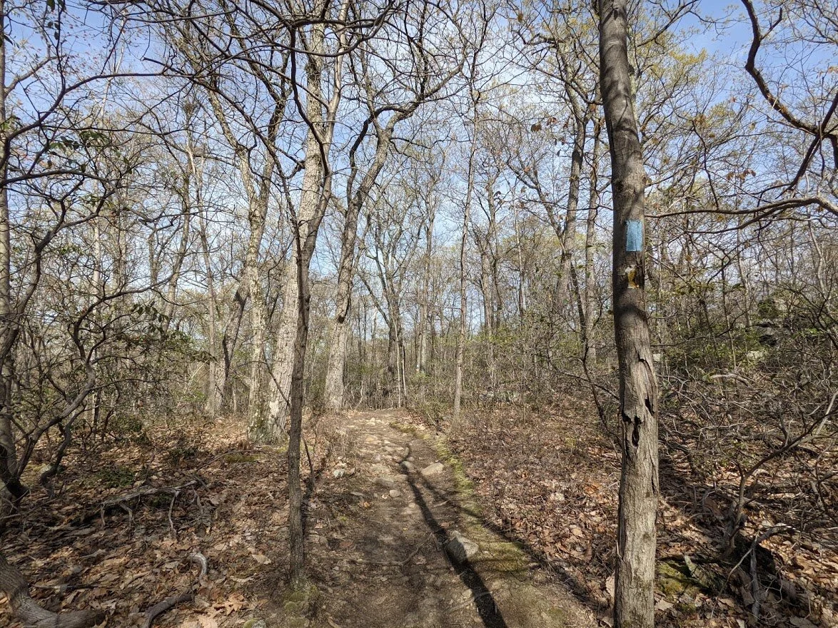
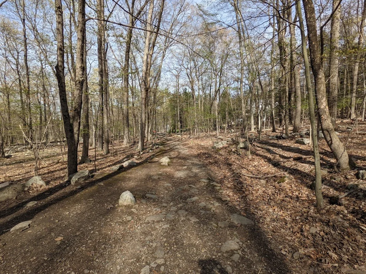
This is at the point where the trail earnestly begins to weave around while it cascades gently up and down.

See how nice the terrain was? It was great to find myself clipping along at a good clip in these sections of hard pack single track.

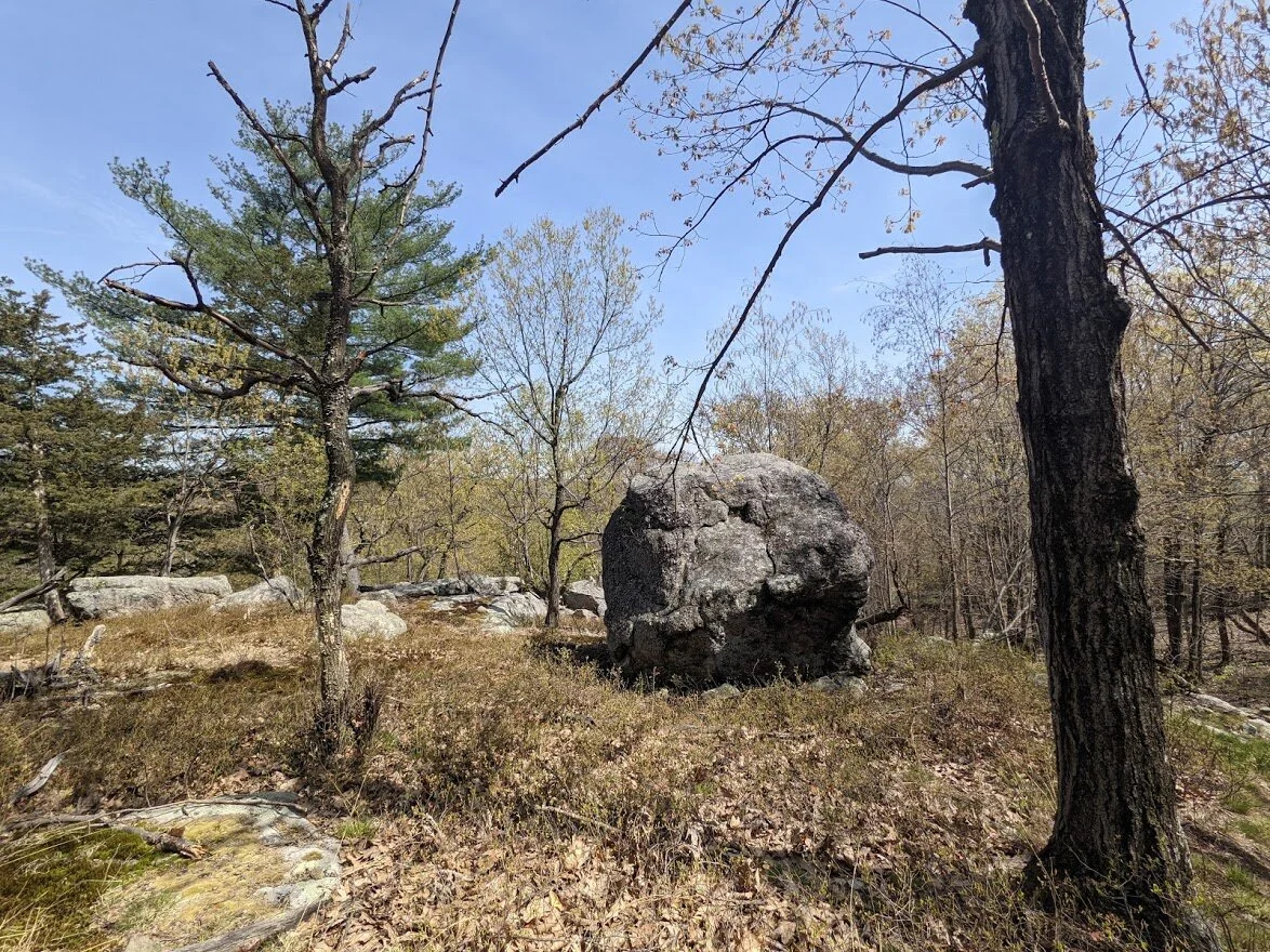
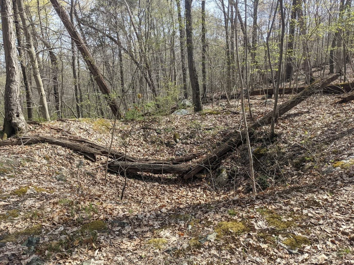
Another hilltop, but this one was not a party spot. If overnight camping were allowed along the Highlands, this would make a wonderful campsite, though.
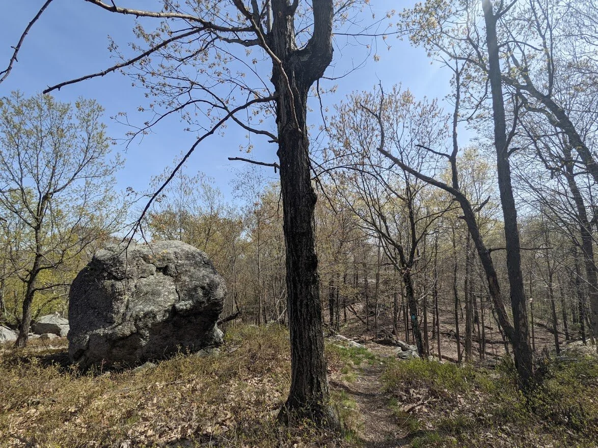
Be more erratic!
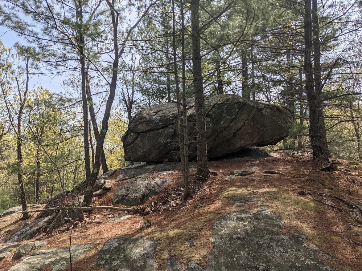
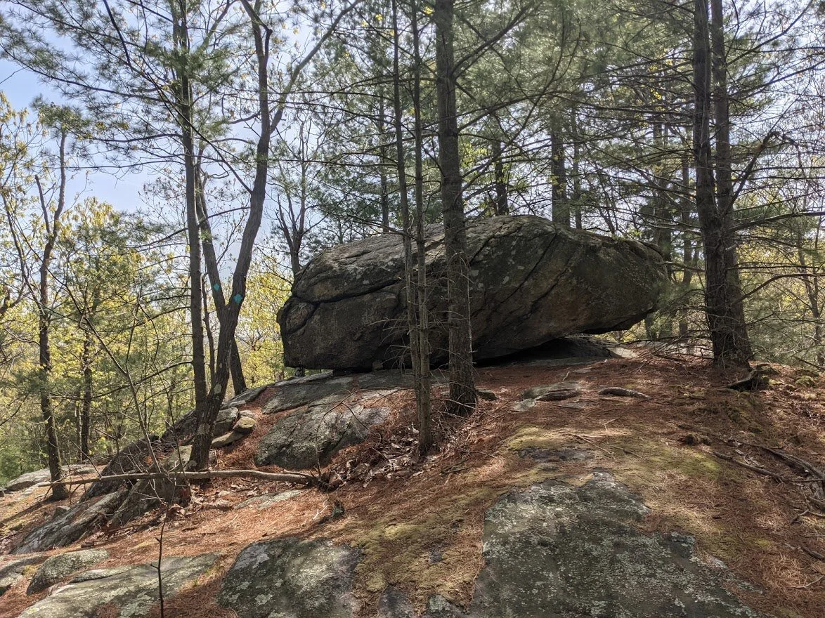
I loved this boulder.... but there is a reason why I took so many pictures of it...
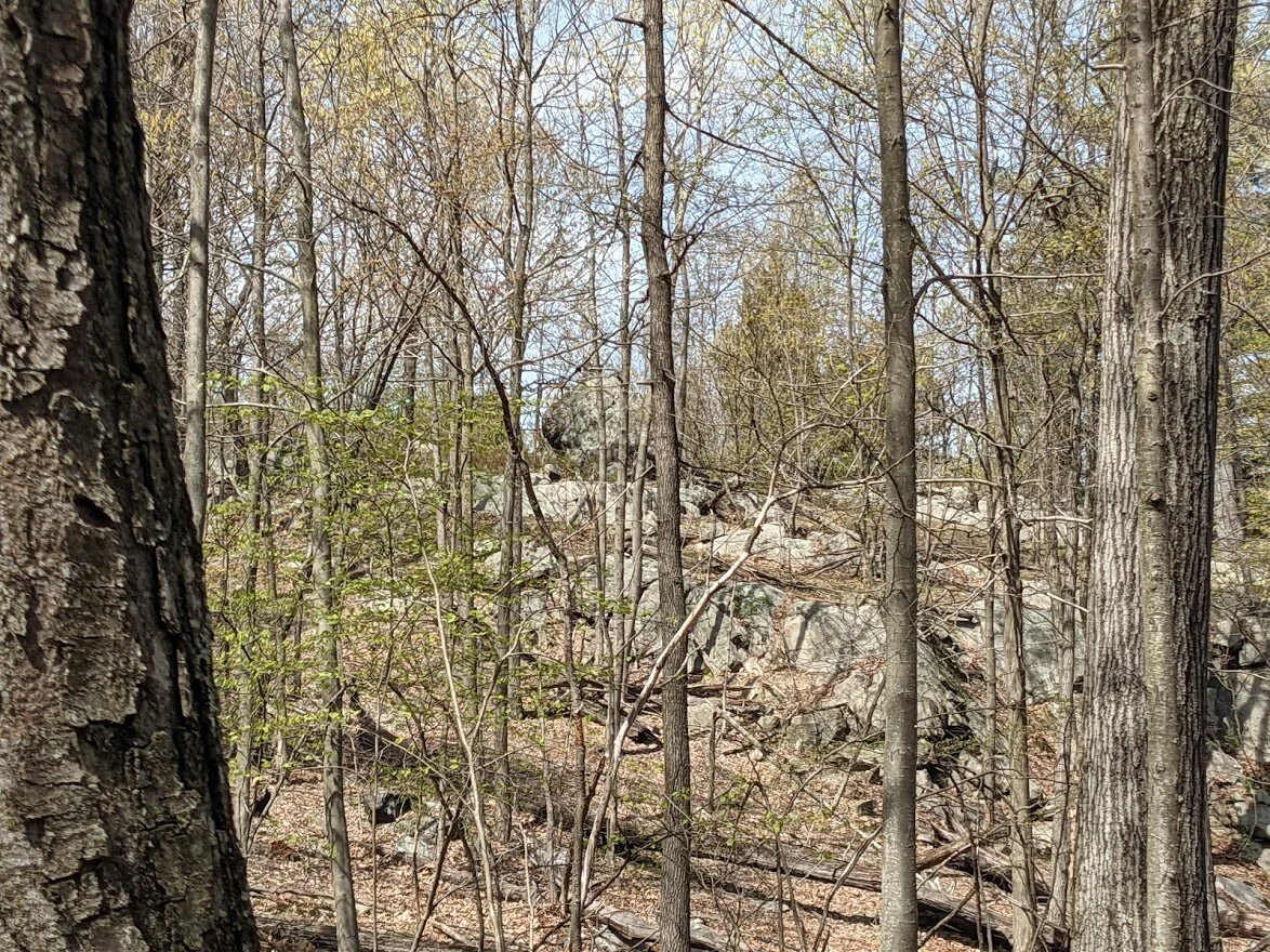
... see it in the distance? That gives you some perspective as to how much this trail weaves back and forth.
It starts out looking rather mild but as with most trails in the Highlands, you immediately begin with a climb.

Aaaaaand there it is again, even further this time.
As you undulate through the forest, you start to notice a pattern of which direction the views will be/rocks will be/climbs will be/erratic will be. The ice flow followed a very specific pattern, and if you pay attention, you can see it.
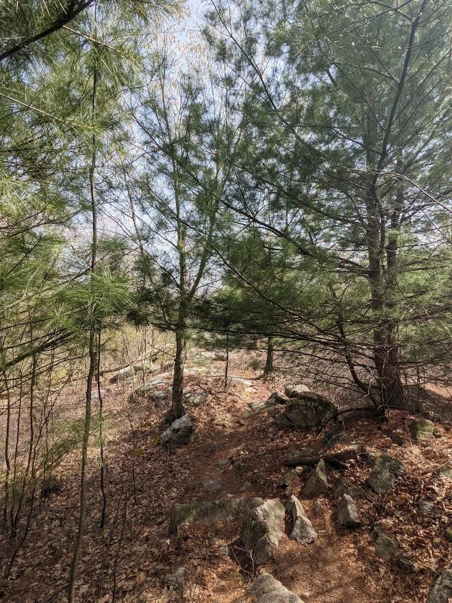
My favorite sections are the pine sections. They smell so good and the trail is so soft!
For those who love to boulder climb, this spot is for you!
As the trail gets closer to Blue Mine, it begins to descend and it also gets wider.

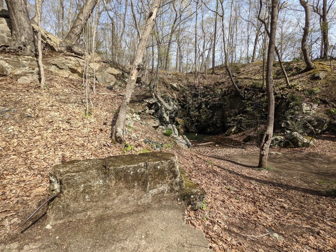
From above blue mine, you can see the influence man has had on this part of the land. Not just the mining industry, but the people who continually come out to explore these trails.
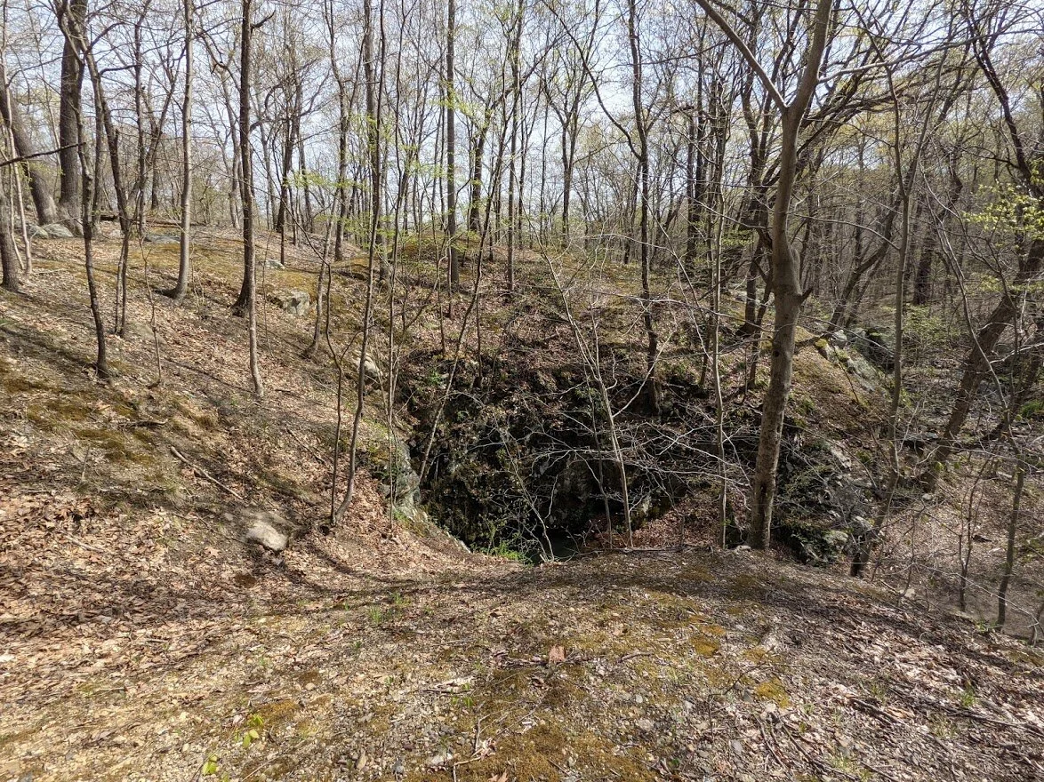
Looking at the mouth of Blue Mine from above is kinda' cool!
The points where all three trails converge is a very busy place, and also the location of Blue Mine.
Can you see the difference in wear and tear on the land from the left side to the right?

The way to Blue Mine is easily discernible.
Blue Mine.

Blue Mine.
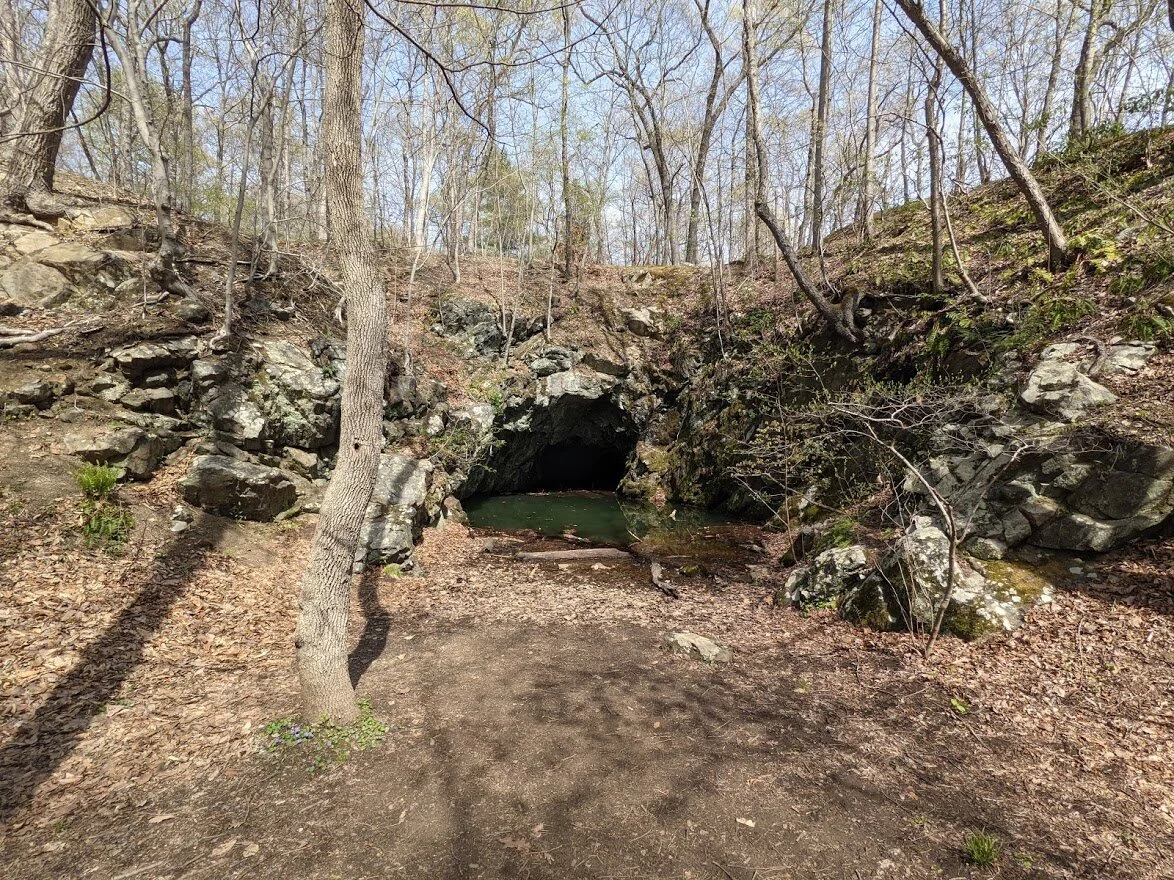
Blue Mine.

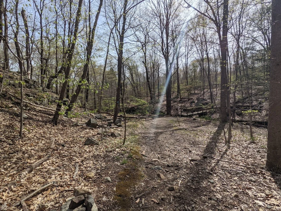
Blue Mine Brook.

Blue Mine from across Blue Mine Brook.
This appears to be a prospect mine on the side of the trail past Blue Mine Brook.
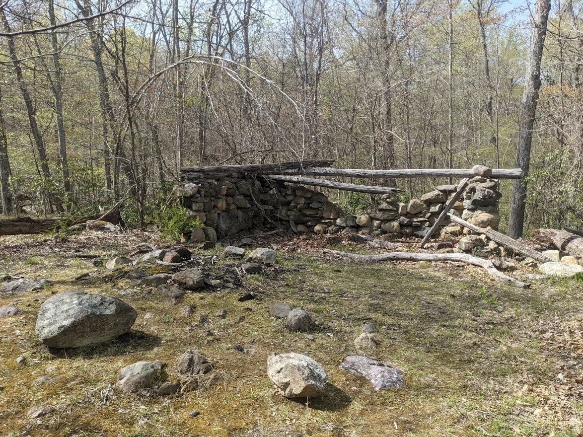
This was a shelter built in the 1930's by the Green Mountain Club.

Wide angle shot of the shelter. It was a very nice location!
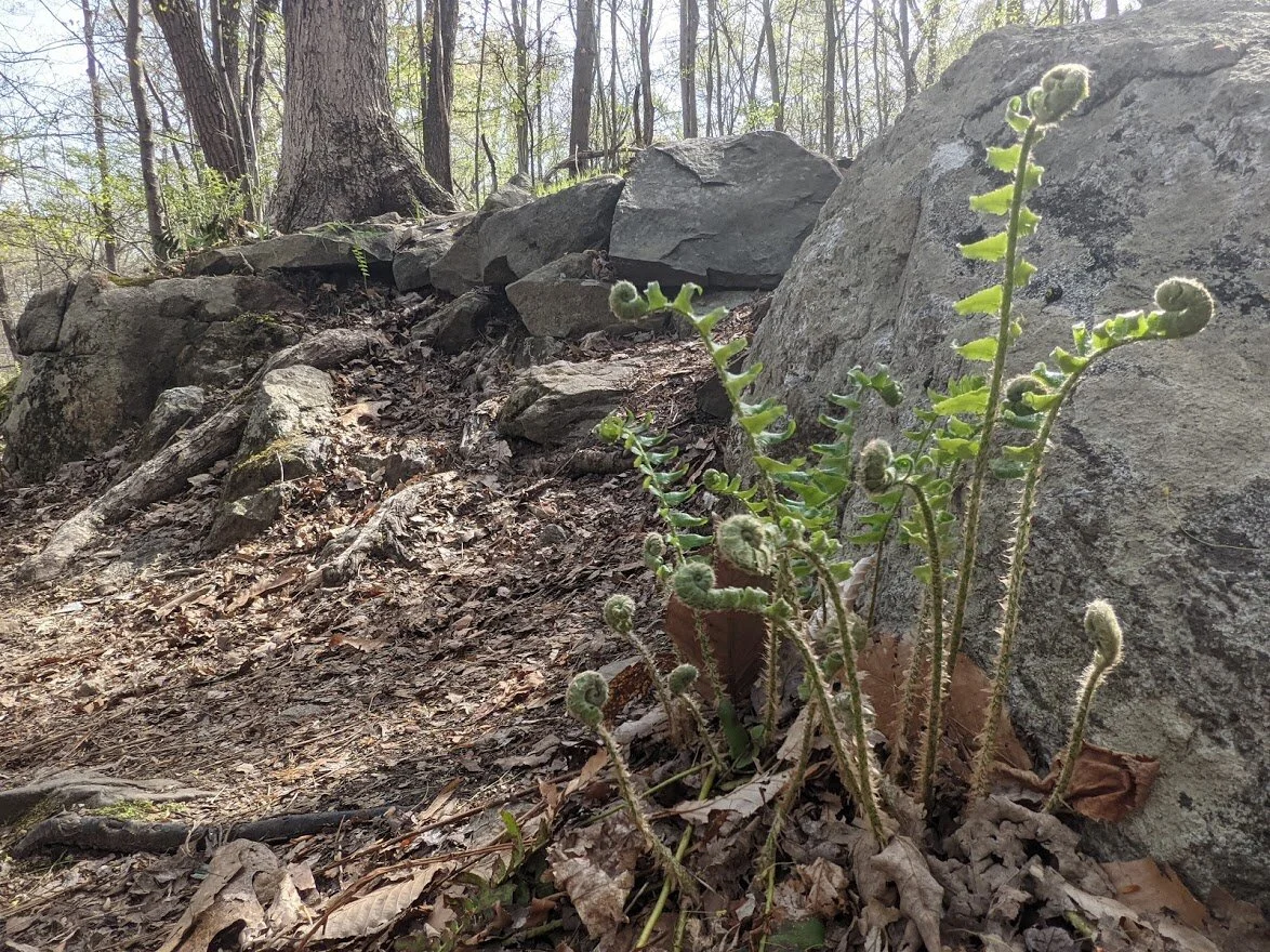
Fiddleheads growing trailside in the sun. It was right around here that I was reminded of the appointment. WHOOPSIE! Time to reroute and get home - on the double!
It was also right about here that the bugs came out for their nightly feast. And guess what was on the menu? HIKER BLOOD.
See? I wasn't kidding. They appeared in droves and followed me every step until I got down the Hewitt-Butler. I guess the bats haven't come out of hibernation yet...??
Following Mine Trail further, it was a very pleasant route, but heavily used.
But it made for a quick walk, and I needed to haul ass!
Looking up at Wyanokie High Point from the Mine trail.

I was making really good time on this path and every so often whipped out the camera thinking, 'I haven't taken a picture in a long time!'.
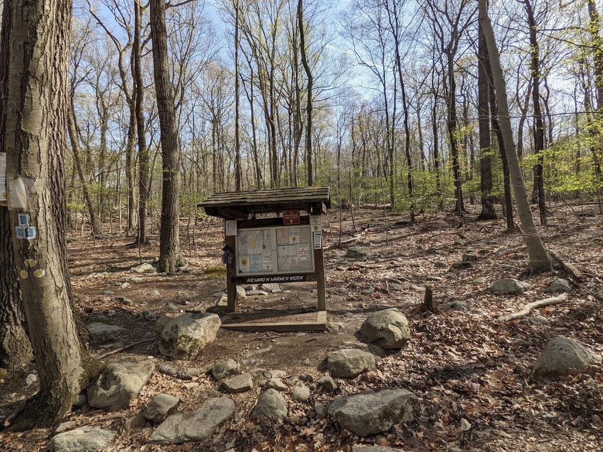
Eventually, the Mine trail met up with the Hewitt-Butler and from there is was the steep climb down to the Otter Hole kiosk.
I ended up taking Mine Trail (yellow blaze) to the New Weis Center and road walked. I figured it would be shorter than going back the way I came - and it was.
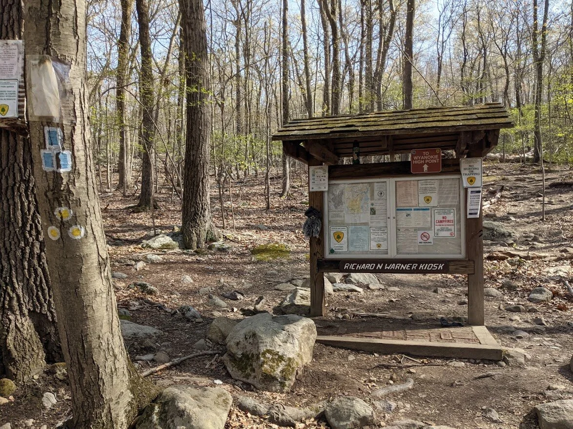
None of which I photographed. So here's the kiosk! lol
I climbed up this trail years ago when my kids were little. I remembered on my descent, just how strenuous a climb it is.

From there it was a short walk past the New Weis Center and the road.

I was clock watching but I knew I had time to make it.
Still, I put the camera at this point and walking as quickly as possible down the road back to the car.