
Highlight Hiker Blog

July 25, 2021
Pennsylvania
LeHigh Gap
Appalachian Trail
There are some very infamous places in the hiker world, and along the Appalachian Trail, LeHigh Gap is one of them. One of the more precipitous climbs, it takes the average person 1.5 hours to climb its 1,800’ in 1.25 miles. It’s daunting for the average person, but even moreso for the thru hiker who happens to be carrying their life on their back.
It’s a colossus climb.
Before attempting the climbs ahead in Colorado, I needed to make certain that I could conquer a mountain with an attitude. Tame a wild beast. Look into the fire and not get burned. And it so happened that I was headed in the direction of LeHigh Gap, so I chose my proving ground wisely.
In actuality I had the most amazing day. It was a very hot and very humid July day. I had dropped the kids off at Dorney Park and headed over to the LeHigh Gap Nature Center. I had come here once before on a recon mission. Now I was living the dream. I picked up a hiking map (pictured here) and drove over the bridge to the trail head parking lot. My backpack was heavy with 5 liters of water but I knew I was going to need it. I met people, talked trail, helped a hiker who was seriously dehydrated, passed out Tootsie Pops to thru hikers…. and was victorious in the battle of the Gap clocking in at the Winter Trail at one hour and forty minutes: only ten minutes under the average. Well, I was taking photos and talking to people so I figured my average time would have been a lot slower, but here we are.
I climbed up the Appalachian Trail but descended using the Winter Trail. Most people who climb (and a lot of them do) get to the scenic view point and then turn around and head back the way they came. I went further up to the Winter and came down that way. I was perfectly alone once I passed the highest point on the mountain. I only saw other people on my way down as they passed me (while, uh, I was going the wrong direction. Honest mistake: the trail wasn’t marked at an intersection. I guessed poorly.)
I was so proud of myself. I was grinning ear to ear. That morning I didn’t know what to expect. I didn’t know if I was going to have the fortitude to get up this mountain. So when I arrived back at my car I felt like such a success. I was hot, exhausted, elated, sweaty, smelly, and completely in my element. My hip was good, my knees were good. I was going on vacation with my family in a few days and had written a hefty check to buy a new house that morning. Life was really, really, really good.
Will I do the gap again? Oh yes. There are other trails that I want to do first on the other side of the river, but I will absolutely revisit that climb. The monstrous beast is now a friend.
LeHigh Gap, Pennsylvania
Appalachian Trail to Winter Trail
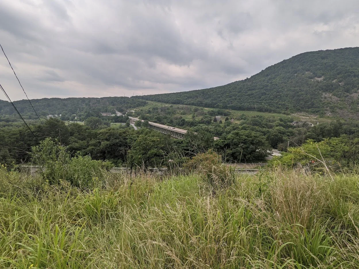
Before you climb up LeHigh Mountain, there is a viewpoint with some interpretive signs. This is the view from that area. The signs are a little bit old, but they have valuable information about the area nonetheless.
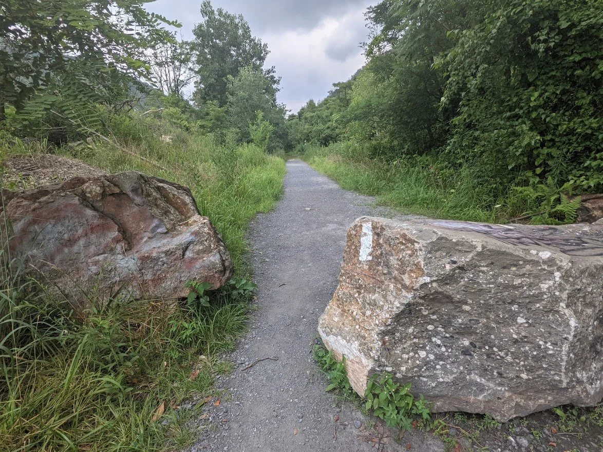
The hike to the base of the mountain is easy going and paved
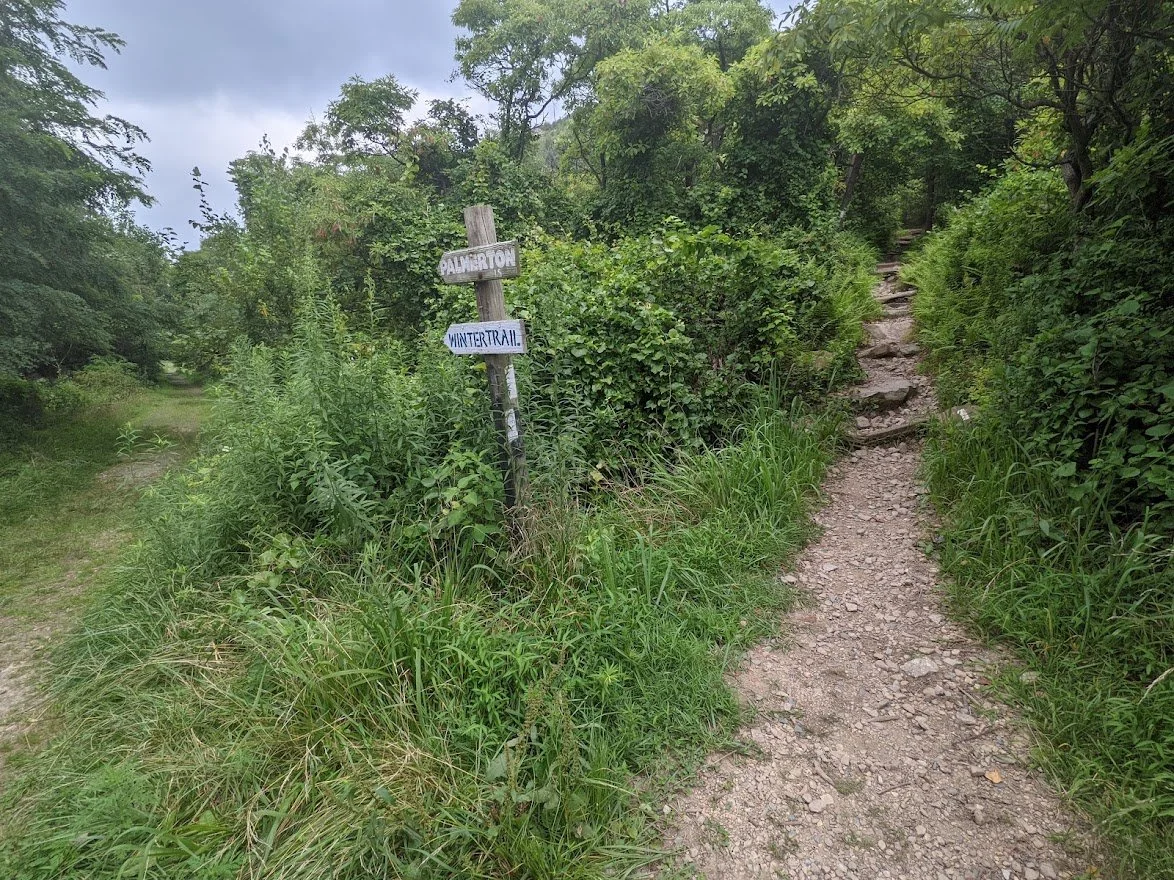
I told myself I would rejoice if I saw this intersection sign while on the way back from the Winter trail.

I stopped to get myself situated and to have a drink before I started up

because, we with all east coast hiking: when it's time to go up, you go UP.

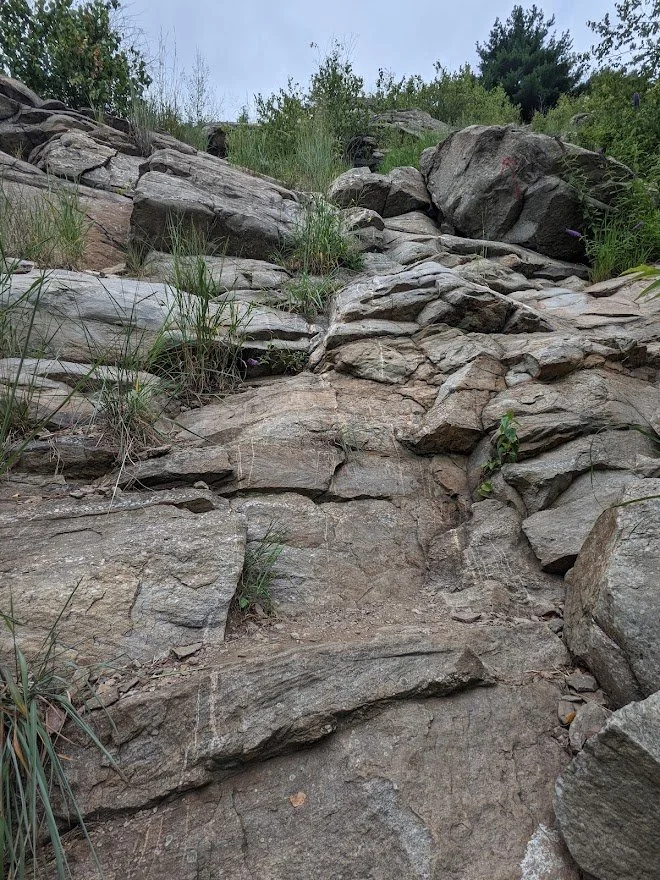
This is the terrain for the entire climb. Honestly. Maybe a little better, maybe a little worse, but all rock

I guess that's why this state is nicknamed "Rocksylvania" to thru hikers.

There are a plethora of viewpoints along the way. Some of them were so steep that I got vertigo dizziness looking down, so I just plowed ahead and poorly convinced myself there was no way I could fall to my death

The long views are even better when the clouds lift, but I love the misty look of the mountains in the distance

Up higher still along the portion of the trail that actually has enough room to switchback. That would end soon.

Straight up and hand over hand scrambling

A little more than halfway up the trail but the tough stuff is yet to come
Yes. Yes that IS the trail. And yes, I AM looking straight up at it.

Thankfully, it looked more formidable than it was. I got up this section slowly and carefully. But the important point is that I got up using my own power.

I'd like to say this is an exaggeration of the trail but it isn't

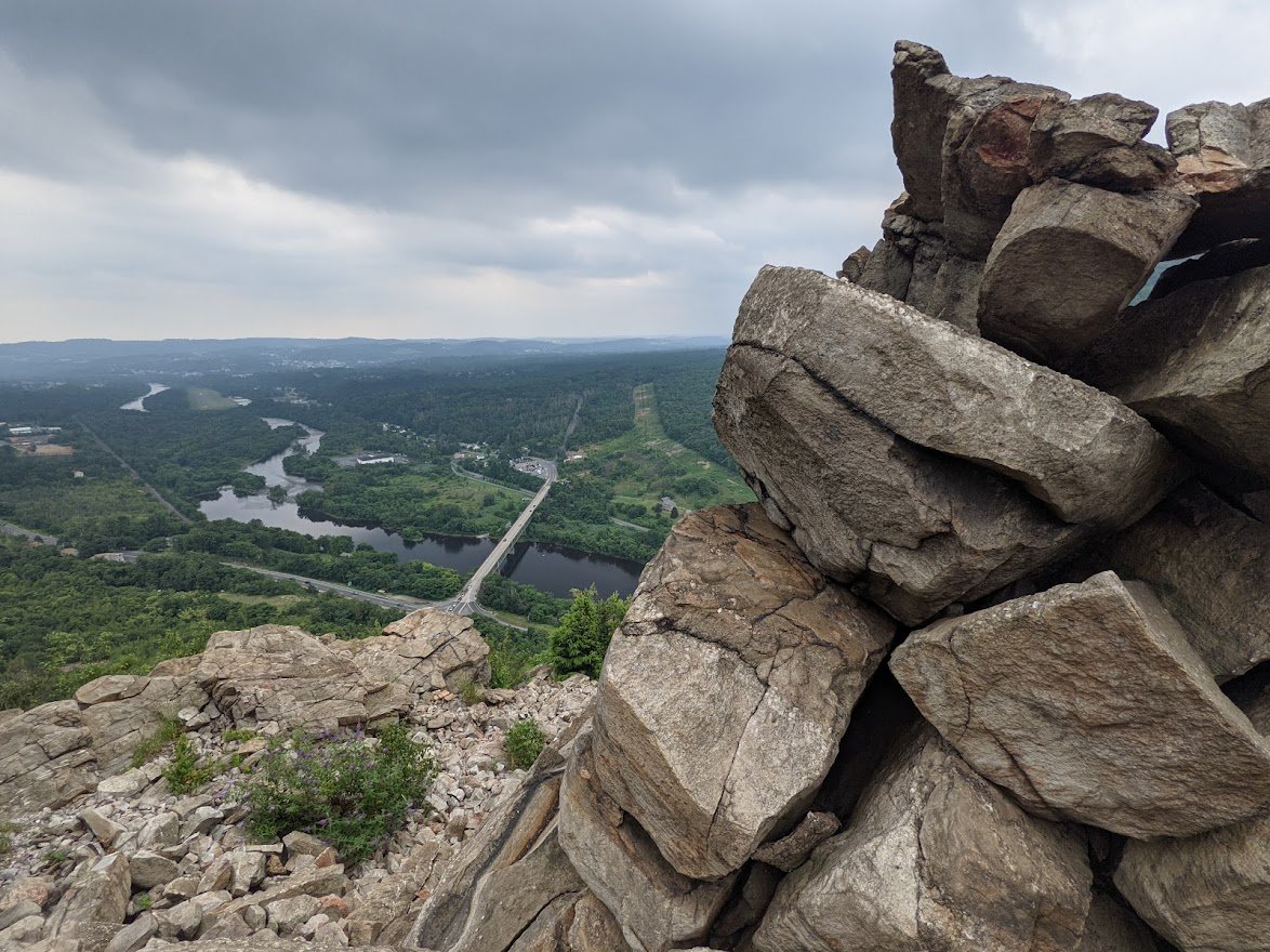
Then suddenly you make it to the famous viewpoint.

The long view of the valley below is positively stunning
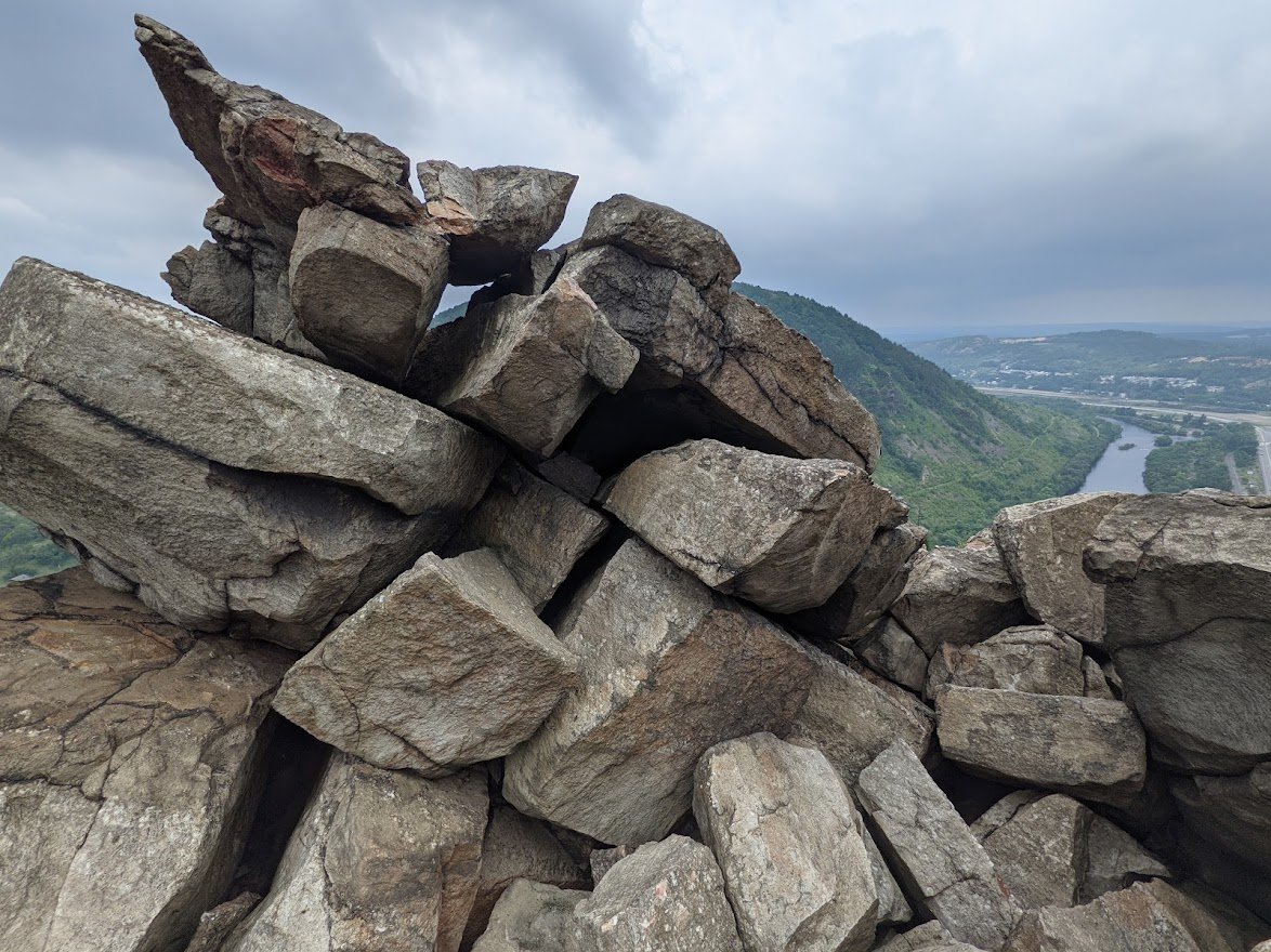
I still can hardly believe I made it up there

On busy days, you'll only get a handful of minutes at this viewpoint before allowing the next hiker the opportunity to enjoy it

I continued up
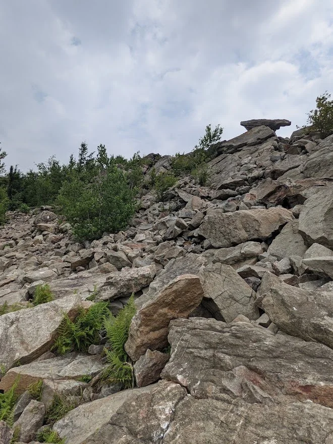
The rock was very unstable. I thought I'd be able to go bounding up because I was so exhilarated but the wobbly rock slows you down more than the climbing
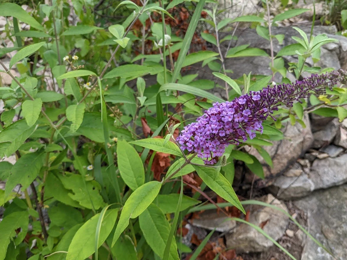
Blooming Butterfly Bush

The trail still climbs, but it does level out quite a bit. The challenge is getting over the heavy, shifting, slick, shale-like rocks

For my thru-hiker friends, it looks worse than it is. No, it isn't exactly stable but you won't be slipping with every step.

The closer you get to the Winter trail head, the more hidden the views of the river become

Example of the type of rock. I'm no geologist. I have no idea what it is, but I can tell you that it is very different than the rock we have in NJ.

When you reach the true top of the mountain, the rock falls away to actual trail and you look back and squeal "I DID IT!". Or...maybe that's just me...???

Wild Bleeding Heart

WINTER TRAIL HEAD!

And no ticks in the fern forest
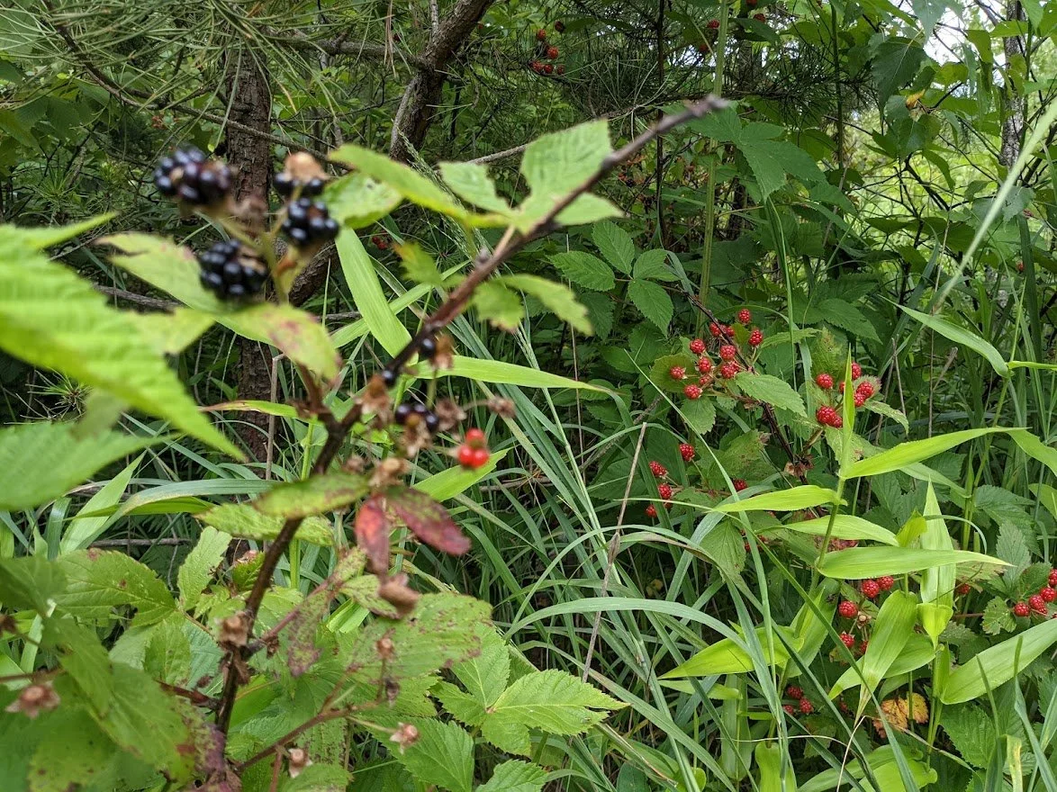
These wild raspberries were delicious

The AT thins out once the tourists fall away
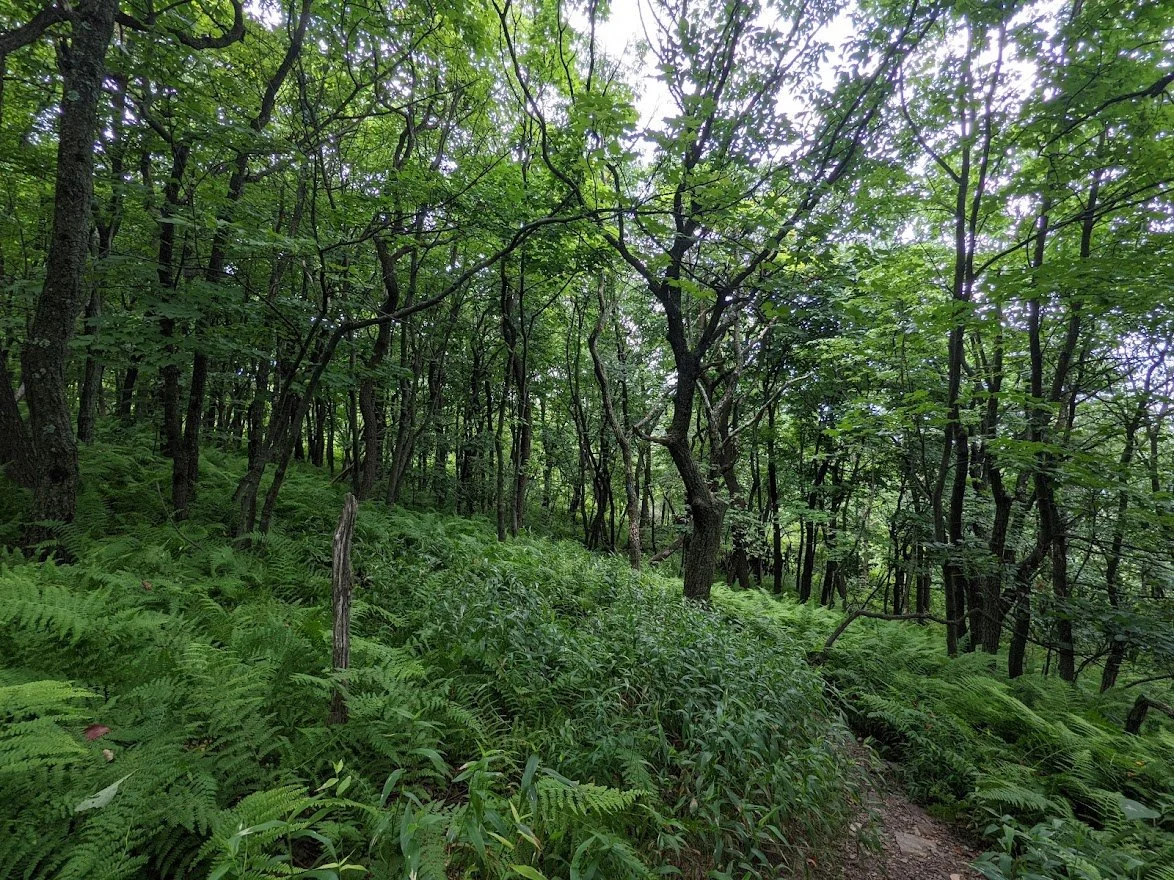
The winter trail is very different with gentle slopes (for a little while) and greenery and nary a rock to be seen

This is where I realized I had gotten turned around. WHOOPSIE!

So back to the Winter I went

The climb down feels quite short and in some areas, quite steep but nothing like the climb up. There are no rock scrambles, just switchbacks. What made it tough was the washed out trails.

When you come back down it is a long, exposed slog in the sun against the hot rocks which radiate more heat, which makes the temperatures feel higher than they are

On a clear day at the peak of summer you will want nothing more than to jump into the river to cool off!

The valley is a lovely place to be despite the heat. Bring enough water on this hike. I brought a guy some sugar and water because he was so dehydrated he kept having to stop on his way down. I was very worried about him and walked with him back to the parking lot.

This is the section I was referring to where the rock just bounces off the suns heat back at you. It's like you're walking in a toaster.

I walked across the bridge to check out the AT on the other side of the gap and pretty much made me next plan to hike here

Chain Bridge is pretty cool. And coolING.
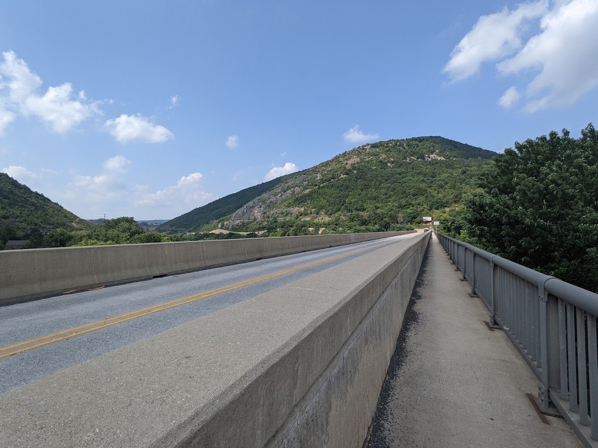
Chain Bridge
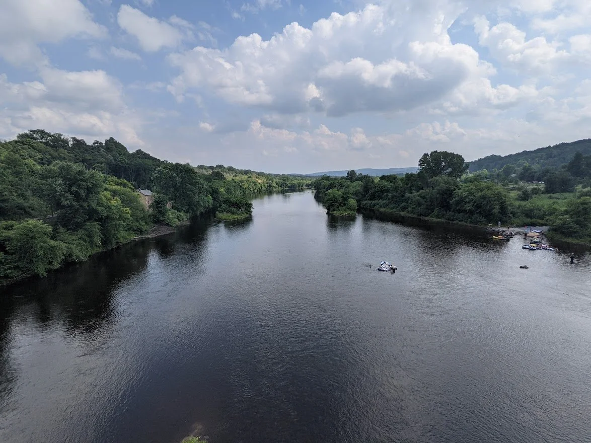
Tubers enjoying the LeHigh River

View from Chain Bridge

Looking back at Chain Bridge before hiking back up to the parking lot. What an amazing accomplishment. What an amazing day.