
Where am I going?
Highlight Hiker Blog
Bakers Pond, Orleans & Brewster MA
August 26, 2020
Ok.. so… ummmm…. Bakers Pond is my favorite hike on this vacation, but technically the majority of the trail is owned and maintained by Brewster Conservation Trust. A small portion of this park is in Orleans, but it’s mostly the parking lot and a little bit of trail with (once again) overgrown scenic views.
But it isn’t the maintenance that makes this trail special, it’s the length, the mix of vegetation, the viewpoints, the difference in terrain and… well… they offered paper maps. I know that taking a photo of the map at the kiosk is probably better for the environment, but darn it, my trail name is Highlight because I like to highlight maps! So BCT got a lot of bonus points from me for offering paper maps at the welcome kiosk. It’s the little things. But moreover, I got more out of my walk with a paper map. There were details and stories in the brochure, and all I had to do was take it from my pocket rather than open my phone, find the page, open the document, etc. etc. etc. I made better time here because I didn’t need to make extra stops to utilize my phone. A++, BCT!
When you combine both blue and yellow trails, you’ll be hiking right around 3 miles. This is the longest uninterrupted trail that I found in this region, which I enjoyed. And since the trail is loop vs. an out-and-back, it gets kudos for the constantly evolving scenery. This trail was the most like New Jersey that I found with mixed forest, a nice 120’ climb, true hard pack single track with a little bit of rock and root to keep it interesting. Huckleberry Hill is well named, as it’s thick with acres of huckleberry! In the fall, this plant turns the forest floor into a beautiful deep red. It must be quite a sight to see against the white birch stands.
I adored this trail, too, for it’s many rest stops. Just to remind you, rest stops are benches without views… they are simply there for you to have a seat and reflect on the beauty and serenity that surrounds you.
Bakers Pond itself is partially residential land, and partly conservation land. When you walk on the Bakers Pond Road sections, you’ll be walking on sand, some soft and deep, so a sneaker with a little grip or a hiking boots will be ideal for extra traction when you need it. It’ll also come in handy for some of the steep-ish (steep by Cape standards, not by NJ standards) rocky inclines that lead to the pond views in Brewster.
So, rather than my yapping on about it, why don’t you visit the photo gallery? Because the proof of how nice this land truly is, is best seen rather than heard. Though I will close in saying that a walk around Bakers Pond is like getting a long, warm hug from your favorite Auntie after an extended absence. There is something comforting and familiar that just feels good on trail here.

Welcome kiosk at Bakers Pond. It appears to be maintained more by BCT than OCT as the features were different, but the actual location is in Orleans.

The parking lot easily fits 10 -12 cars.

XXL parking lot!!

This is the section the is maintained by OCT. It's a short blue trail.

Here is the trail map, with town lines, so you can see how much is owned by which town.

PAPER MAPS!!! PAPER!!! MAPS!!!

Bakers Pond from the Orleans side.
The trails are typical of Orleans: hard pack, double wide, covered with pine needles.

Scenic overlook bench in Orleans.
The view from the bench.

The blue trail winds casually and is around 1 mile in length.

If you look closely, you'll see some sand mixed in with the typical pine covered trail. The sand is soft, but not deep, so it's easy to slog through. Aaaaand... a bench.

The view standing next to the bench, because the overgrowth covered both the bench and the view.

Once in Brewster, you'll diverge from Bakers Pond Road onto single track trail. There are two loops to choose from: the main loop (yellow blaze) and the shorter trail (blue blaze).

This is the official welcome to Brewster, even though you crossed the town line before this point.

See?

I opted to start with the shorter blue trail for the pond views.

Really nice little trail. It's a little wider around the pond frontage, but I'm assuming that's because the residents use it so much.

Bakers Pond has a little side pond, which goes by the same name.

Cool tree that had been hollowed out by woodpeckers.

See the rope swing? It's like out of a Mark Twain novel!
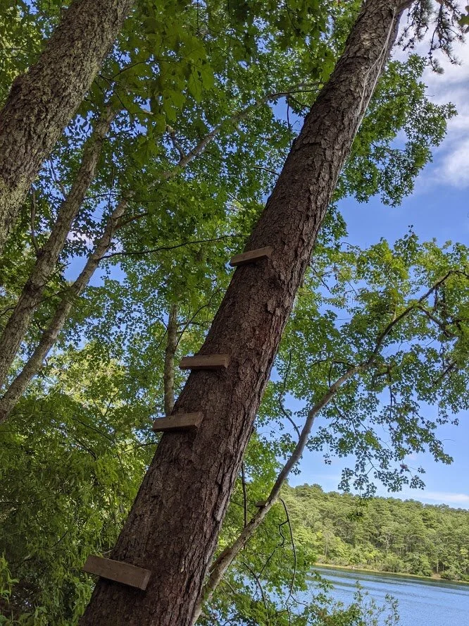
My feet hurt just looking at those rungs.

Bakers Pond from the rope swing.

Bakers Pond from the rope swing.

Once you get past the rope swing, the trail gets a little thinner.

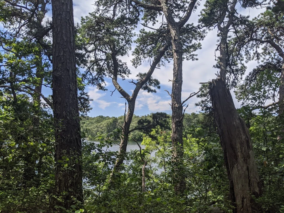
Second viewpoint on Bakers Pond is the east side.

Bakers Pond, east side.

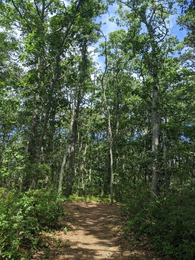
Once you turn around the corner from the two viewpoints, the trail gets to be real live single track through mixed forest.

Blue blaze Rest Stop!

View from the rest stop.

Sure enough! Here we are!

You come to a crossroads where the yellow blaze crosses Bakers Pond Road. This is looking south at the intersection.

You'll resume path walking in sun speckled forest, headed due west.

Looking south on Bakers Pond Road at the crossroads.

This from whence I came, looking east at the yellow blaze.

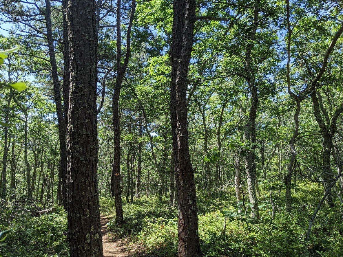
Walking toward Huckleberry Hill.

Nice, deep colored mixed forest with huckleberry floor.


Rest Stop mid-climb on Huckleberry Hill.

Look at how high the huckleberry is!

Huckleberry.

A great view of the huckleberry carpet.

Beech Tree stand.

Another rest stop in the beech tree stand.

I knew I was coming back to Bakers Pond Road and I was sad to leave this delightful forest walk.

Bakers Pond Road, headed back the way I came to make the complete yellow blaze loop.

Sassafrass.

Sandy Bakers Pond Road.

American sycamore
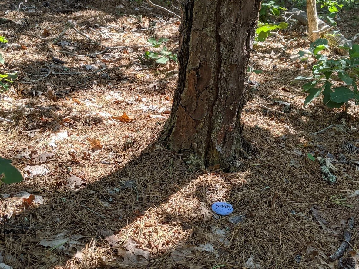
Another encouragement rock sighting!