
Where am I going?
Highlight Hiker Blog
March 27, 2021
Norvin Green State Forest, Manaticut and Overlook Rock Loops
While researching Norvin Green State Forest, I’d always see the description “rugged terrain”, and boy howdy! They aren’t kidding. Normally when I think “rugged terrain” I think backcountry hiking, or southern Maine or New Hampshire, but… yes. Having hiked this section, I would definitely put it in the category of “rugged”.
But this IS the Jersey Highlands, so no one should be surprised.
When you’re hiking in this area of New Jersey, you sometimes have to stop and remember that these mountains have been dated to be 1.3 billion years old. Most of these mountain used to be much higher, but because of erosion, they are now less than 1,400’. Which, I get it… places like the Sierra’s or the Rockies…. they scoff at our “measly” heights. But, when you’re hiking in northern NJ and southern NY you aren’t climbing short distances on easy terrain. These trails aren’t smooth. They are packed hard with rocks and roots of all sizes and shapes that aim to trip you up at every step. Even when you want to look up, you have to stop to do it because if you misstep, you’re going to trip and fall on several rocks. I’ve done it. It’s painful.
Hiking in Norvin Green is rugged. Some trails moreso than other. I’m finding that Norvin Green has some of the most rugged I’ve yet experienced. I’m ok with that, though. I have great respect for these ancient places and am very grateful that I have the opportunity to wander here where history happened long before human occupation.
“So, Highlight, what exactly happens when you hike on rugged terrain?” I hear you ask. For the most part, it slows you down because you’re having to pick your way across loose rock, large rock, roots that have grown over the earth and in many places all of the above. Here’s some context: in 2020, my first hike of the season was on March 27th in Waywayanda State Park. I hiked 6 miles in 2.5 hours. In 2021, hiking the very different Norvin Green, I hiked 7.5 miles in 5 hours.
And you could argue that I was slower because I didn’t use trekking poles for any of this hike (I didn’t use them in 2020 either, though). And I stopped for lunch. And a snack. And I took a crap ton of pictures. Lastly, because it was a weekend I stopped to talk to a lot of other hikers (except the super fast group I saw in the morning). but still… I didn’t double my miles, just my time. All of those factors combined wouldn’t accumulate to the addition of that much time. So hopefully that will give you a general idea of what I mean when I say it’s rugged terrain.
Having said all of that, I’ll add here that it was worth it. It’s true that there plenty of other hikes that I would choose over this loop, but younger, stronger people who love scenic views and ambling ups and downs will appreciate what this trail offers. It’s a little bit of everything Jersey Highlands and a lot of fun.
Norvin Green State Forest
Manticut and Overlook Rock Loops
Total Mileage:
7.56 miles
Total Elevation:
1,913 feet

Remember the rain I had a few days prior? Even on the spur trail I could tell that between the spring thaw and the previous rain, the unnamed brook was flowing wider, faster and deeper than the first time I'd ventured out here.

You guessed it! The waterfall inside the rock tower again! Different time of day, different angle of sunlight... still the same waterfall!

The unnamed brook on the Manaticut loop trail (headed toward Manaticut Point).

Same spot, looking east toward the rising sun.

I really appreciate the geology of this area.
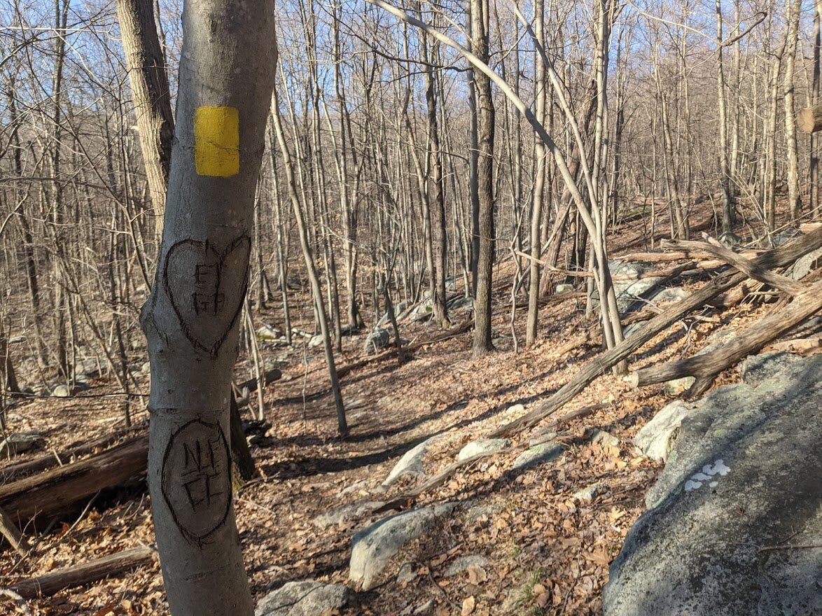
Let's just hope their love remains. Poor tree.
and to think... this is one of the less rugged sections of this trail...

Reaching Manaticut Point. For some reason the sun invigorated me and I took a lot less time to climb up to the point than on the cloudy day on the 24th.

The mountain top in the distance is where I'm headed and the felled tree points the way. Thanks, tree!
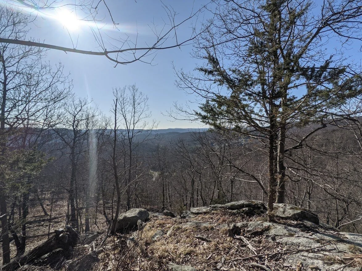
The preview view of Manaticut Point.

The steepest part of the climb is (of course) the portion just below the peak.

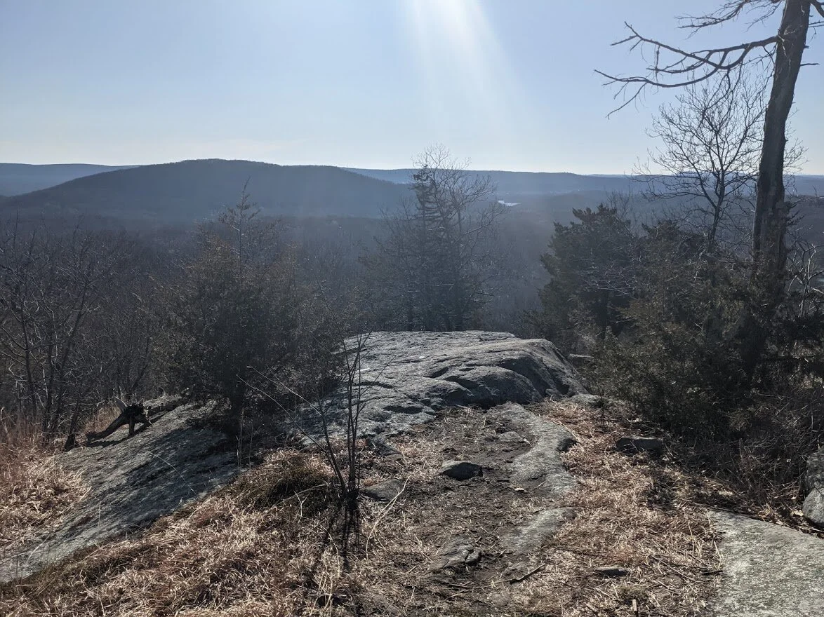
The view from Manaticut Point.

It was different from the other day. I could see a little further, but the biggest difference was the morning sun. It was quite warm up there that morning, unlike the previous hike where it was cloudy, windy and chilly.

The view from Manaticut Point.

Pretty view. I imagine in the summer, this would be a spectacular vantage point.
Since I'd been here before, I didn't stay long. I snapped these few pictures and moved along.

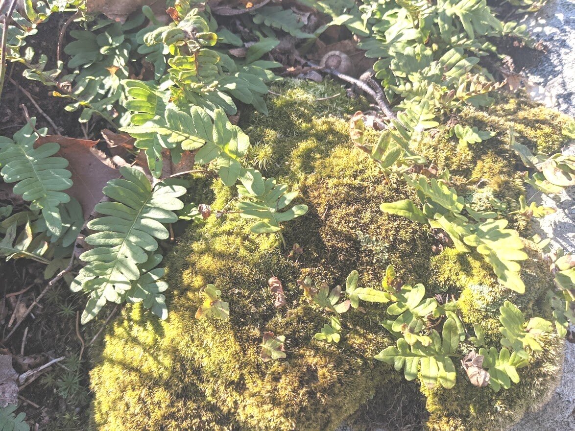
Signs of spring living in the rock!

This drop off looks much worse than it is. It's a very easy climb - no hands or poles required in either direction.

It looks more intimidating than it is, but it's just one of countless PUDs (pointless ups and downs)

You walk down to this pretty little private lake. It must have a name, but it isn't listed on my map. The point is, this is private property. It is not part of the state forest and you can look, but don't touch.

A private road leads to the lake and it's hiker temptation:

THE GAZEBO. Buuuut, it's private property. So no exploring, hikers!

WHAT? A part of trail has no rocks or roots and you can go really fast for about 5 feet???

Manmade perch in the state forest. Curious.

The climb up West Brook Mountain is kind of annoying, but there are several scenic viewpoints not listed on the map where you can stop and catch your breath while you look over the land. This would be a spectacular view in the fall when the leaves are at their peak color.

Same spot, just a few feet further along the trail. Nice views!

See what I mean? Other than two visible homes, it's all trees in every direction you look. Perfect for viewing fall foliage!
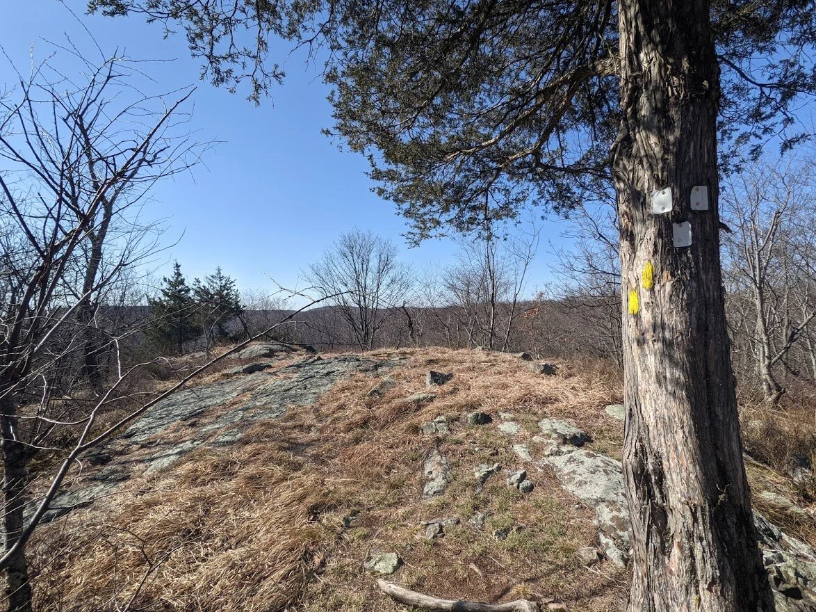
So this intersection marks the halfway point on the Manaticut Loop trail (yellow blaze), and the beginning of the Overlook Rock trail (white blaze). I continued on the Overlook Rock trail, and came back to this point.

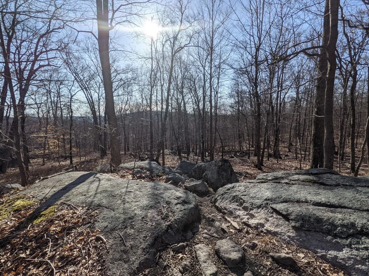
So this is where the majority of the PUDs begins. You go up just to go down throughout this entire loop. Not huge ascents or descents, but never ending. There are very few flat stretches and all of it is covered in rocks from small loosely packed stones to rocks the size of a medium sized dog, to flat tops like this one.

I know it's kinda' tough to see in this picture, but this is a descent. It's a wee bit disorienting with a steep drop to the west (left) of the trail. I picked my way very slowly down West Brook Mountain.

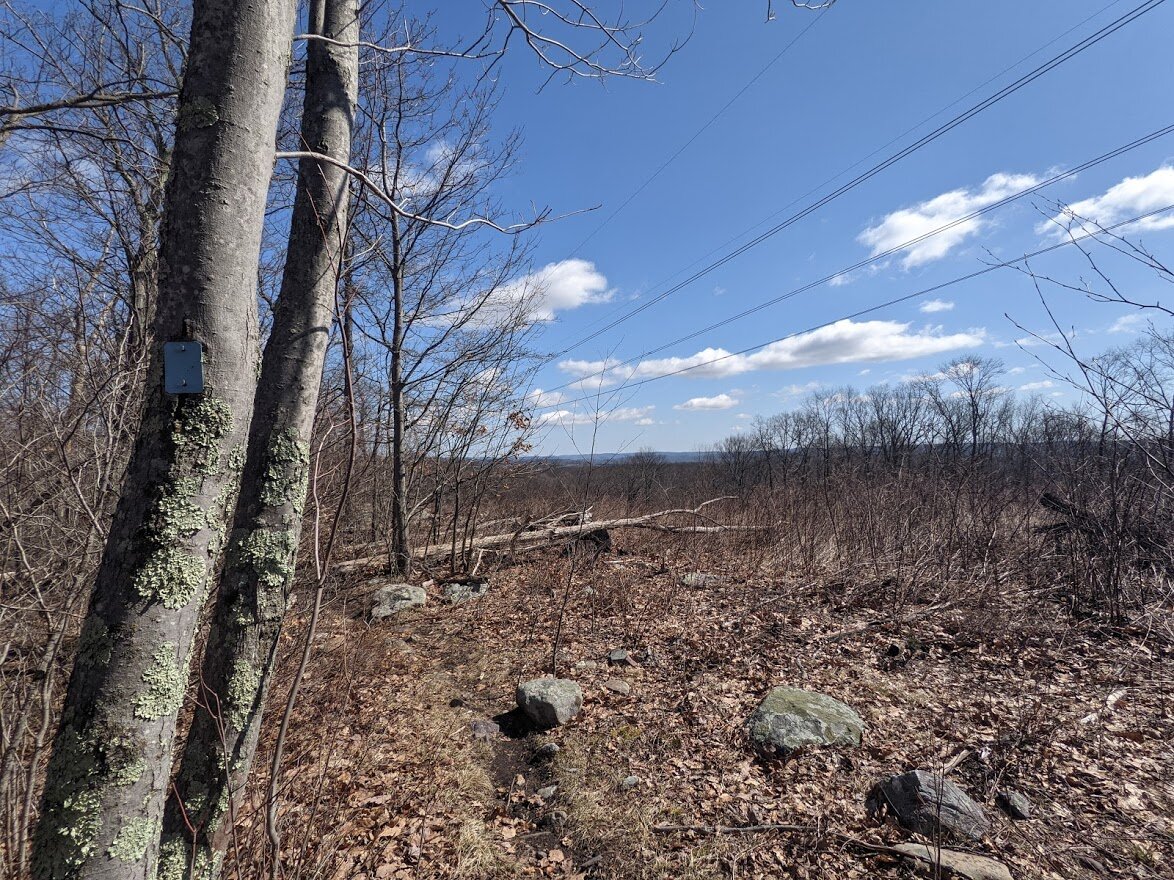
On the western edge of Norvin Green along the Overlook Rock trail (white blaze) you'll cross under power lines twice. Before you reach the lines, you'll find this section. Take your time to stop and have a look of the view west, it's quite lovely, even with the power lines.

It's not a 360 degree view, but it's worth stopping for.

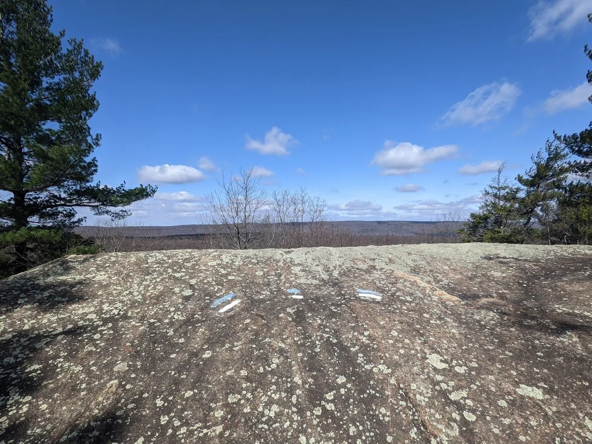
The Overlook Rock trail (white blaze) shares its path with the Hewitt-Butler trail (blue blaze). Yes! The same Hewitt-Butler blue blaze that I was on when I visited Torne Mountain and Osio rock!

Fascinating, aren't they? They hum and buzz and make a racket, but they sure are cool to look at!

To the west of the power lines, you can tell that this mountain top is not sheltered by the shape of the trees. The wind blows to the east.
This is the scenic view marked on the map.

This is me standing on the trail markers. Once you get over the shelter of the rock, the east wind blows continually and without sun, it is a very cold, constant wind. I originally was hoping to stop here for lunch. But I moved on in search of a better spot.
The trail hugs the power lines, but they aren't a sound disturbance to you unless you're right under them.

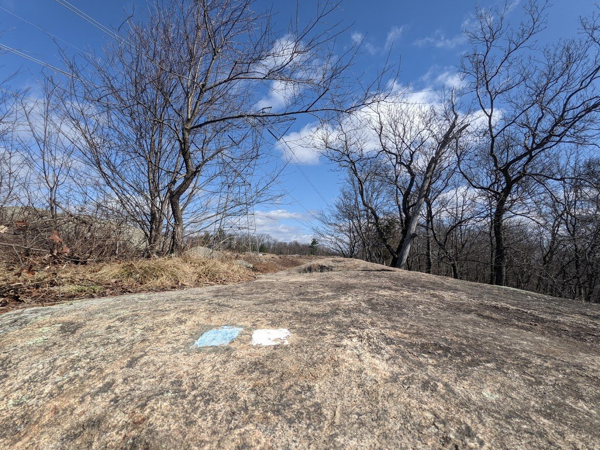
I thought was interesting: the map clearly indicates that the white blaze and the blue blaze run concurrently but when you get to the northern edge of this section where they split, the marker indicated the trail head for Overlook Rock trail. My educated guess is that, at some point, this trail was not a loop, which means these trail markers are old!

The second crossing of the power lines.

It's interesting, because just a few hundred feet from the windy western edge of the state forest there is no wind, and with the clearing of the forest for the power lines, the sun is relentless and warms you right up. I decided to stop here for my lunch break. It was just the prefect rest spot I needed.

I loved the old stone wall. I could easily sit on it and it wasn't an uncomfortable place to picnic.

Alright, so this is going to be long. The trail follows an old woods road down the hill for some way, then it turns off the woods road and becomes single track again. This was the last photo I took for a while because as soon as I turned back in on the trail, there was were two humans mating. I was mortified. I didn't know what to do. I couldn't go back the way I came. I was already parallel to them. They must have been 100 feet off the trail...? I get it: it's springtime. But... there is no tree cover and nowhere to hide and honestly, seeing them kinda' ruined my day. I was embarrassed and I didn't know what to do. So I just walked past them as quickly as I could. The trail under my feet was slippery thick mud and I put my head down and barreled through it. Because of the descent and the turn off the woods road I literally just came upon them. No warning. I've seen black bear, rattlesnakes, been bitten by ticks... this was hands down my worst hiking encounter ever. It was a SATURDAY! Like, the most popular hiking day! Why would they...? Whatever. Awful experience.

It wasn't until I reached the Burnt Meadow overlook that I stopped. I just walked as fast as I could away from the couple in the woods. I didn't take another picture until I made it here. I was dying to sit here to reset, have a snack and talk to other hikers - anything to take my mind off of people copulating in the woods. But I was the only person here. I took a few pictures for posterity, but I can't remember being there now for the life of me.

It was a pretty view, but I was ready to keep moving.

I don't think it would pack as much of a punch if the leaves were out. It's becoming quite overgrown.

Looking out onto Burnt Meadow.

As I climbed down from the Burnt Meadow overlook, I turned to look behind me and I really liked the way the rock looked in the sun.

Headed back toward Overlook Rock, you'll cross an arm of Burnt Meadow swamp a few times. The crossings have become deeply rutted thanks to illegal ATV and dirt bike activity.

Dotted with little waterfalls, the brook dances south down the mountain.

AND WOULDN'T YOU KNOW IT...! 5 dirt bikes and 1 ATV'er passed me on the woods road section. I love how they wave at me, like I don't know that A. they're here illegally and B. they are ruining the trail.

Clearly my mood was souring as the afternoon stretched on. Not even the sun dappled brook would cheer me up.

But then I got to Overlook Rock. I sat down and really was able to reset a bit as I had a snack and talked to two hikers about anything other than copulating humans and motorized vehicles. Later, a couple looking similar to the "the" couple came up on to the rock. I don't think it was *the* couple, but I was so embarrassed that couldn't look at or speak to them, so I packed it up and sped out of there, desperate to get back to my car and drive away, leaving this hike behind.

From Overlook Rock you can see Lake Sonoma below you and Harrison Mountain in the distance.

The beautiful view from Overlook Rock. The hikers that I nervously talked to here were really kind to me. They had no idea why I was chattering away, but they didn't seem to mind it, thankfully. They'll never know how or why I was so glad to have someone to talk to. Thank you, people. Whoever you are.

The sky was gorgeous, but I just wasn't in the mood. I didn't take any more pictures. I just hiked back to the car via the Manaticut Loop (north end). I met a really nice group of 4 young men en route. Once again, I was relieved to have some people to talk to. I would have hiked back to Crescent Road with them, could I have kept up with them. But they were gone in a flash and I was alone again with my thoughts. It was a weird day and as long as I live, I hope it will never be repeated.