
Highlight Hiker Blog
May 26, 2022
Long Pond Ironworks
Tapawingo Trail
foot traffic only
Fan of my website? Then you know that’s I’ve already explored some of the freshly blazed Tapawingo Trail in Norvin Green State Park on April 2, 2021. This little bit that I hiked (and it was just a little bit) was freshly blazed. It’s combination of previous unmarked single track, freshly blazed single track and what appear to be old carriage roads.
I like Long Pond Ironworks overall. I think that it is a bit underrated next to it’s larger neighbor, Norvin Green. I personally prefer LPI to NG (with the exception of the Hasenclever, which while great in theory to have an historic trail, ends up just being creepy and making me feel like I’m being watched) for it’s solitude and types of trails and terrain. I may be in the minority in thinking so, but being an underdog myself, I have a deep resounding love of the underdogs and therefore adore LPI. My favorite portion of this section of the Tapawingo was the carriage road. Despite the fact that it was thick with mud and puddles the forest was dense and quiet and green and healthy. Abundant in color and texture and skittering creatures and flying birds. And then of course there were the pine trees further up the hill with their soft, coated ground and scented air. =sigh= So delightful.
The only component we’re still waiting for is the spur trail that gives the Tapawingo access to Jungle Habitat. In the summer of 2022, it still had not been completed. Hopefully this season (as I write this is February of 2023) we will get to see the trail completed and will have the potential for bigger miles by enjoying both parks in one day.
Since a picture says a thousand words, I’ll stop my yapping now and let you go have a little looksee at the gallery! ENJOY!
Long Pond Ironsworks
Tapawingo Trail (north end)
Poor kitty. I hope it was found.
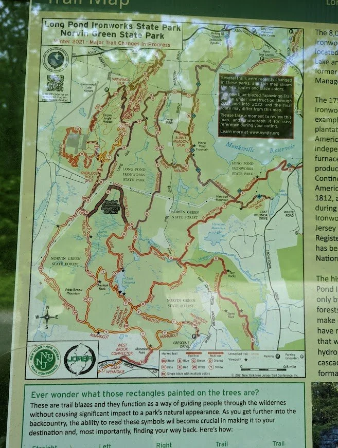
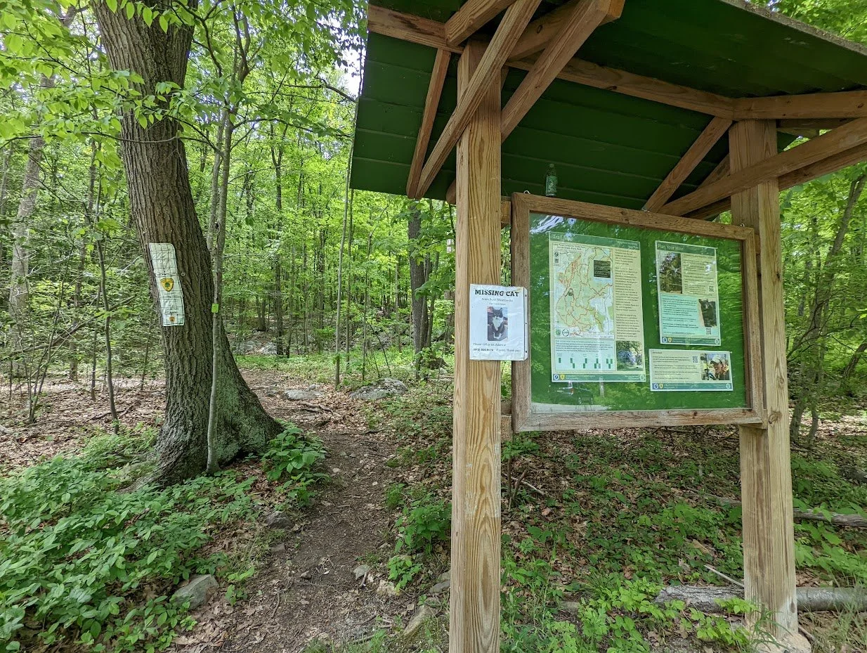
OKAY! Here's the map at the kiosk with the new Tapawingo in plain sight.
I started ont he Burnt Meadow Trail and since I've photographed this section of the Burnt Meadow trail at least 50 times, I decided just to move quickly and get to the Tapawingo. This is where Tapawingo and Burnt Meadow meet. They travel together for a short distance.
This is what May is like in northern NJ. Pretty, but most likely full of ticks.
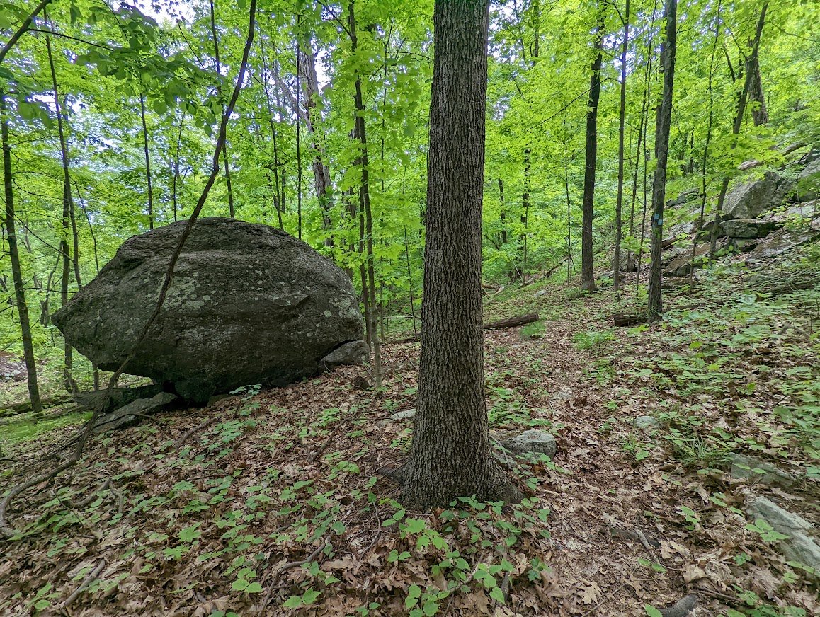
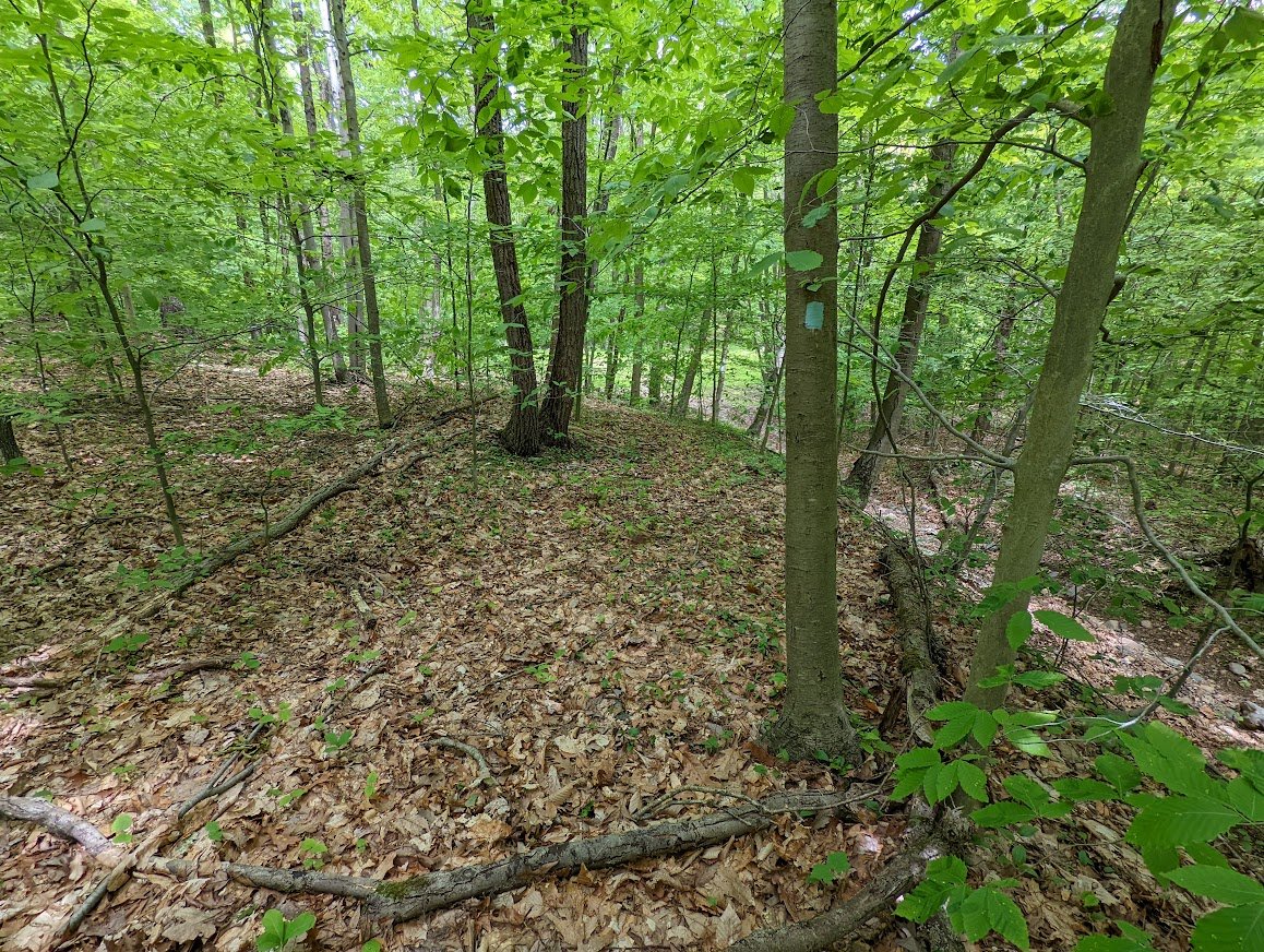
The mound on the right doesn't look natural, does it? Looks kinda' man made. Like that pile was made by miners who were mining. Am I accurate? Who knows. Not me.
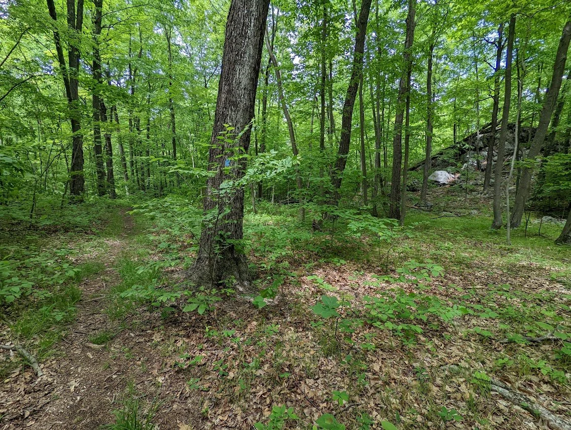
And here is where the new Tapawingo separates from the Burnt Meadow. The Tapawingo moves in a northerly direction.
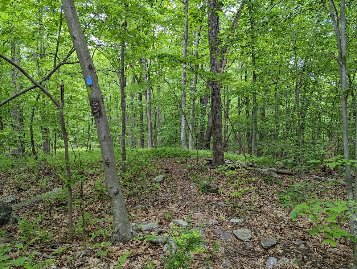
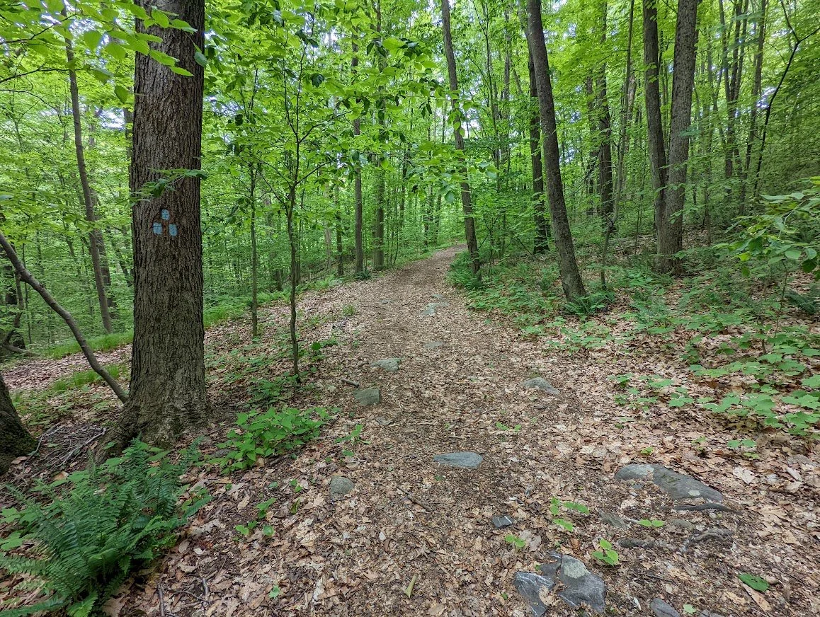
Newly blazed. Still needs more human traffic to make it more visible but the blazes are close enough that you can make your way just fine.

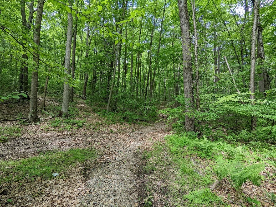
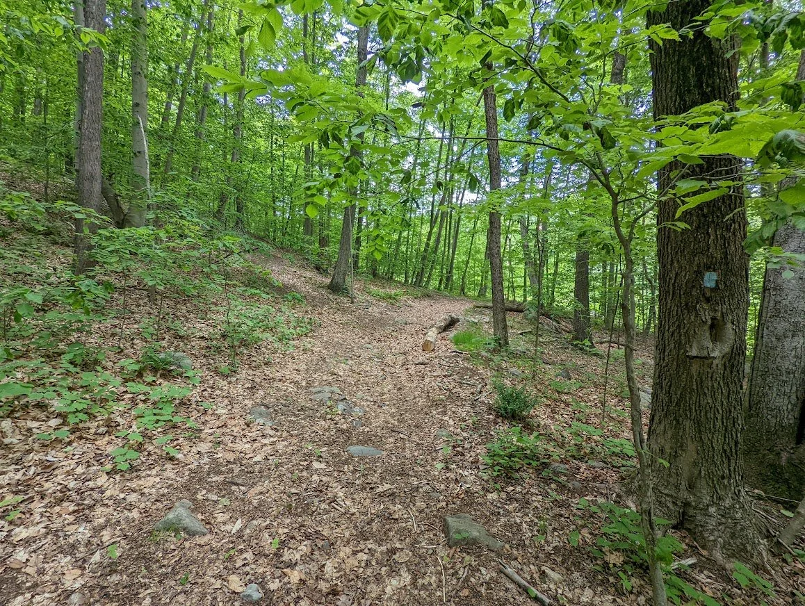
The trail becomes a trail and it appears to be an old trail. So whether this was a once marked trail, or if it was an unmarked trail previously I am not sure but it certainly existed before the Tapawingo blazing.
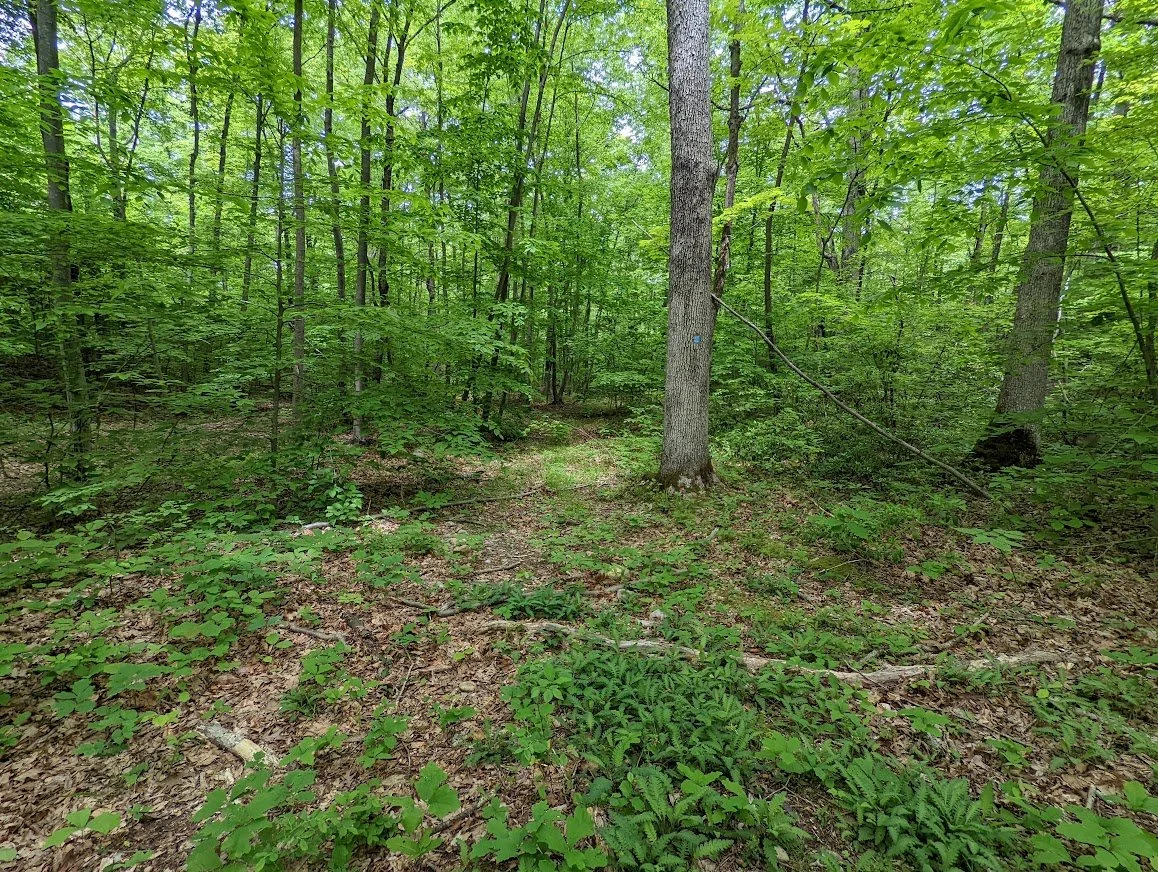
From this photo you might wonder if the Tapawingo rises above a drainage, and that perhaps in the wet months, what appears to be a foot path is actually a pathway for water.
Here's the point at which I though the Tapawingo was at its peak beauty. The trail skirt off to the left, but there is clearly and unmarked trail to the right.
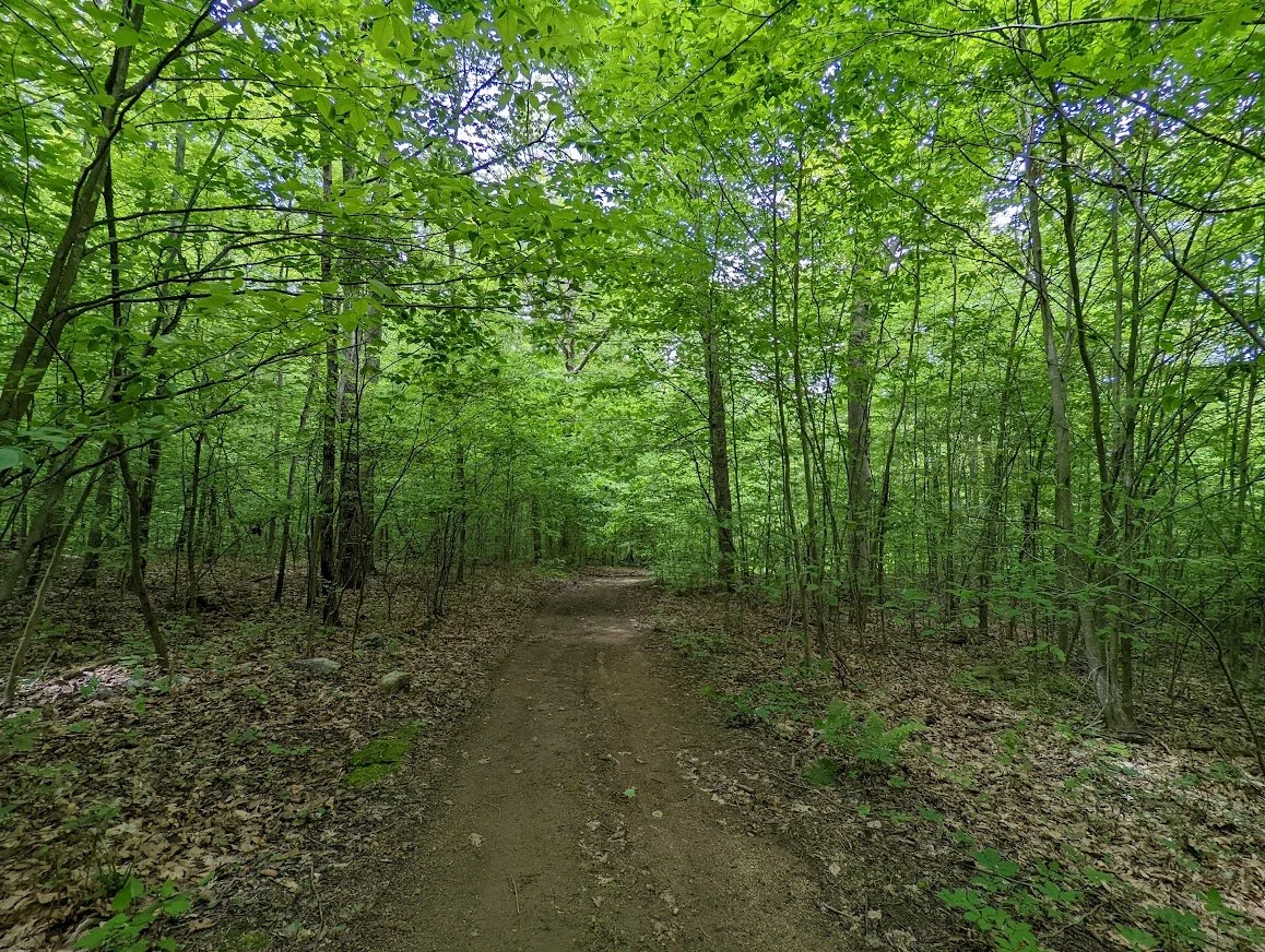
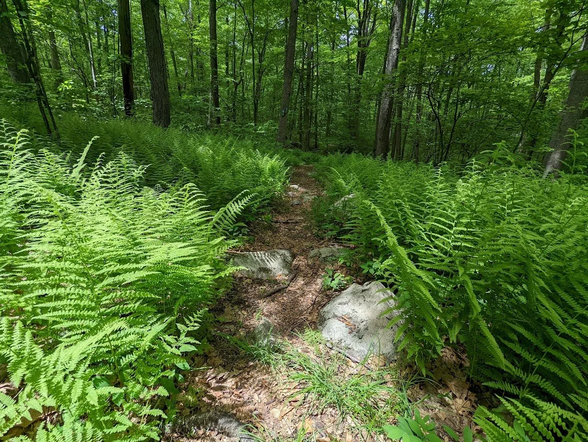
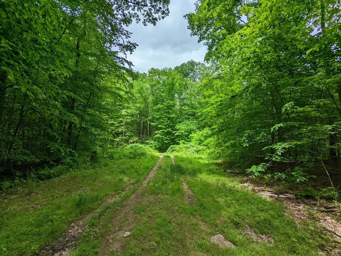
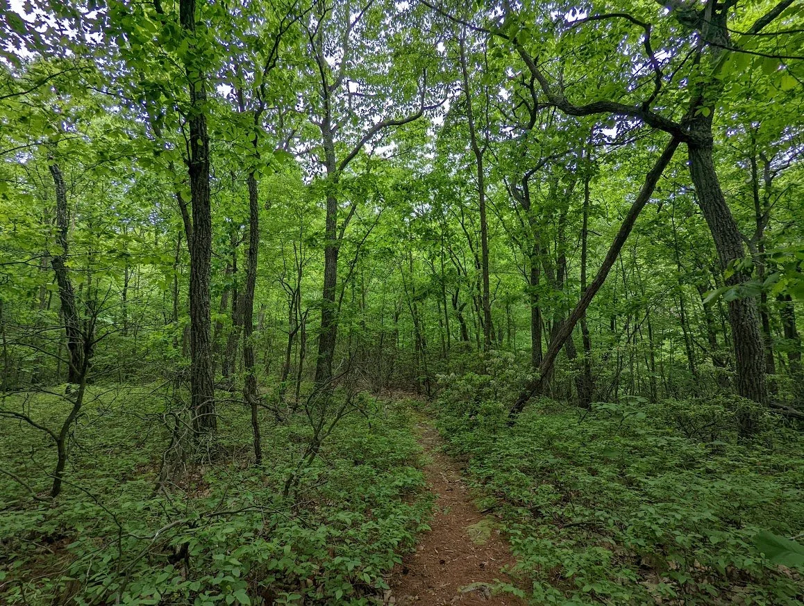
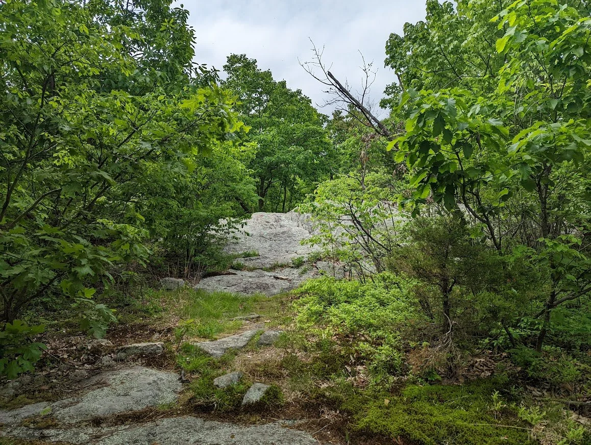
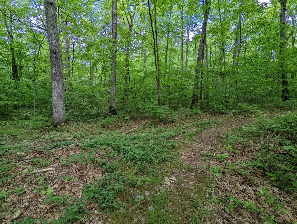
And the Tapawingo becomes a beautiful woods road or old carriage road with a thick, green canopy that is lit from the sun above.
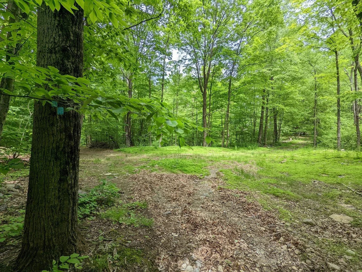
Suddenly that forest opens and there is a tiny little meadow ahead, that thrives on the sunlight.
A recent rain flooded the trail.
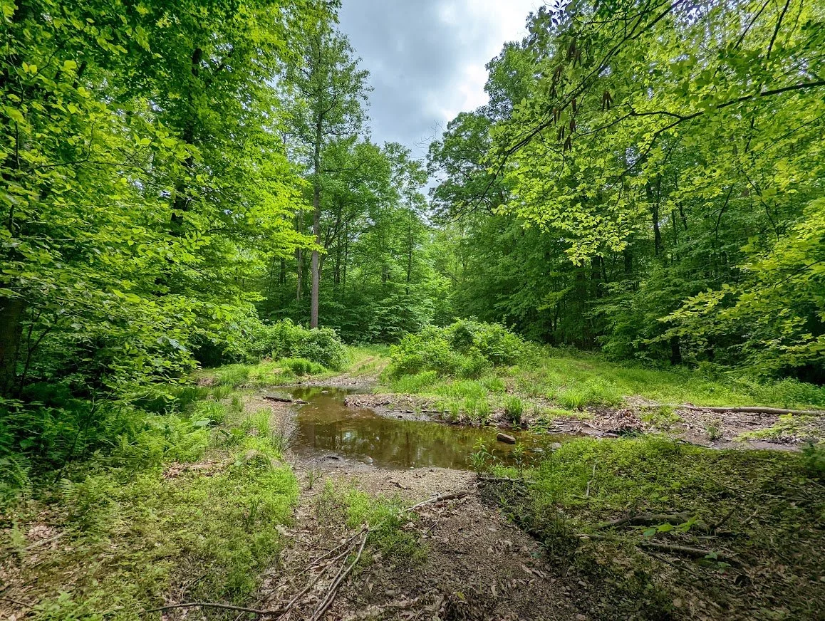
It wasn't terrible to get through, just unexpected. Lots of frog song in this section!
The trail moves forward and dodges back into the thicket of forest
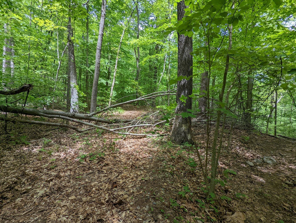
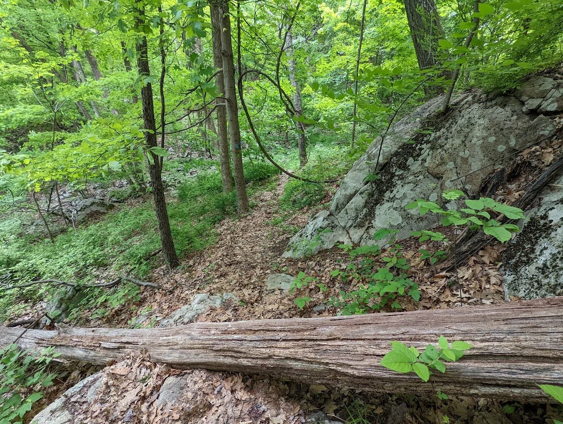
With only a little bit of unmaintained blow down Very easy to get around, though and not a huge concern.
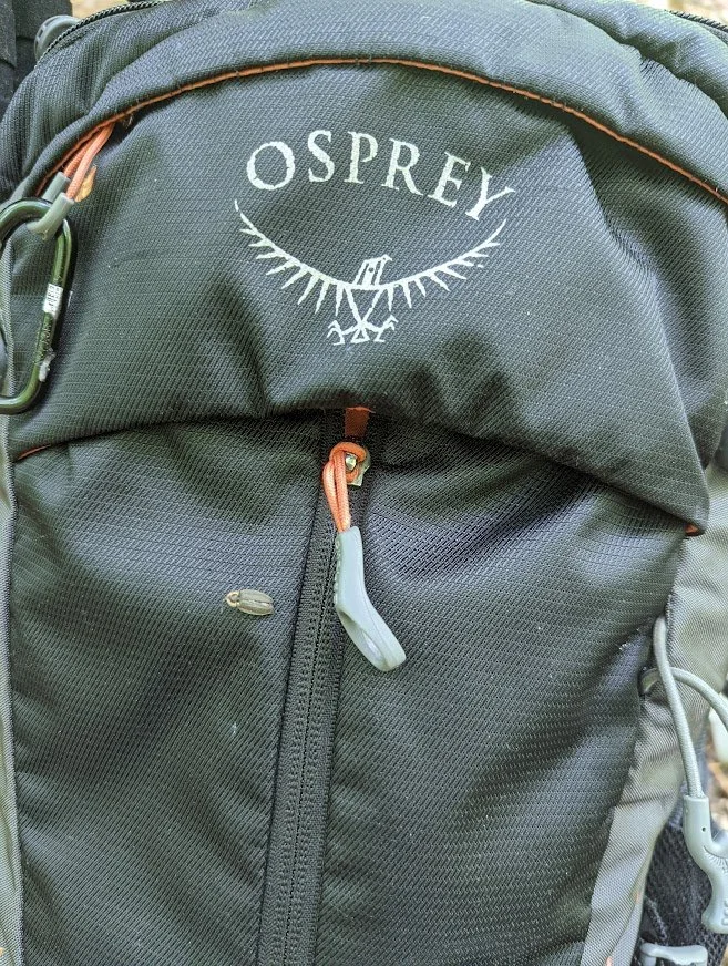
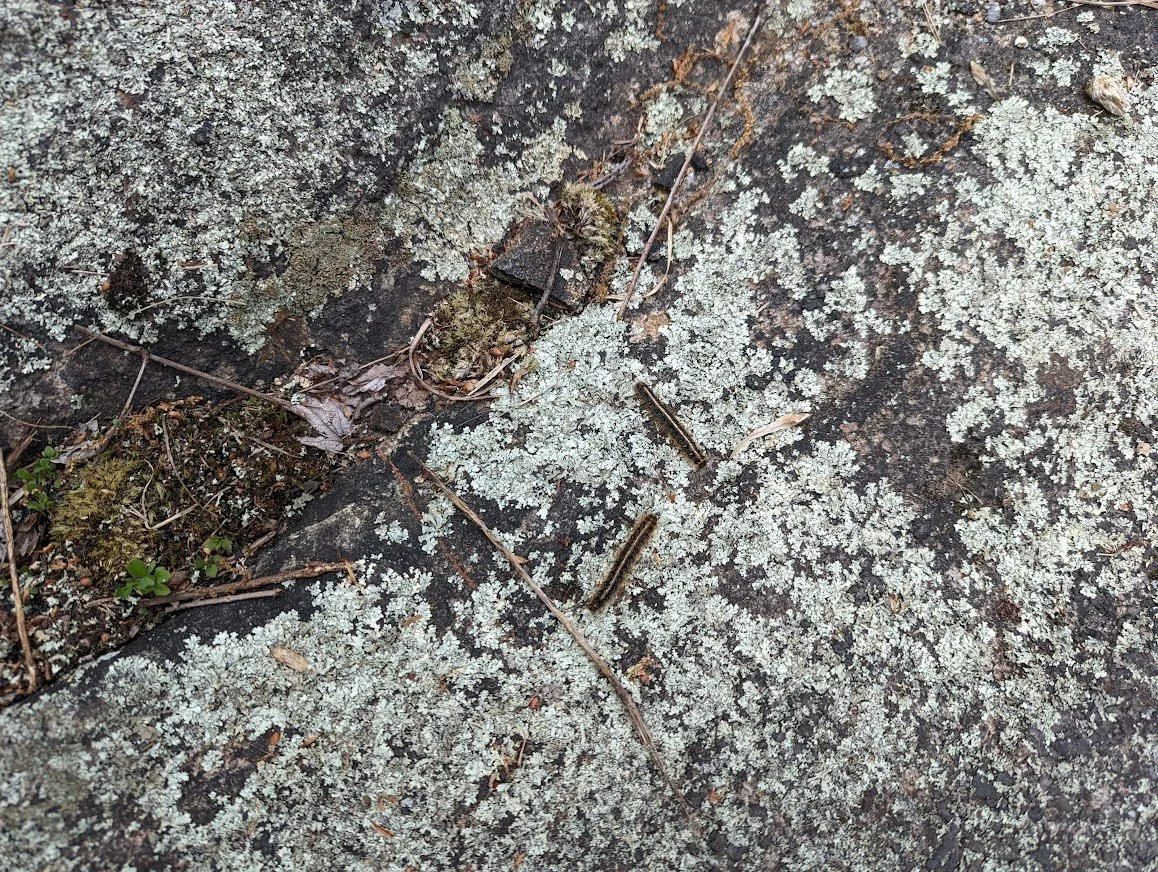
This one was freeloadin' on my pack!
The trail marker is misleading. This is not a trailhead for the Tapawingo. It may have been the trailhead for the previous Hewitt trail, but no longer. The Tapawingo now will bend to move with the Burnt Meadow in a southerly direction, up and away from Hewitt Creek, and eventually move south to the border with Norvin Green State Park.
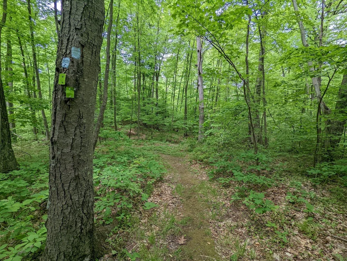
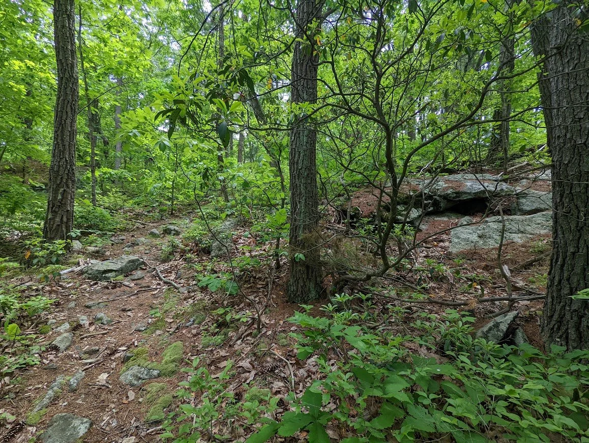
The two trails coexist and climb through the forest.
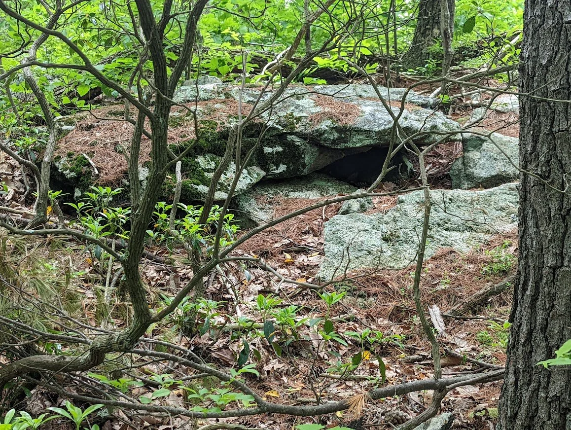
That's a nice looking domicile for a small animal! Who do you suppose lives there?
Hello? Anybody home?
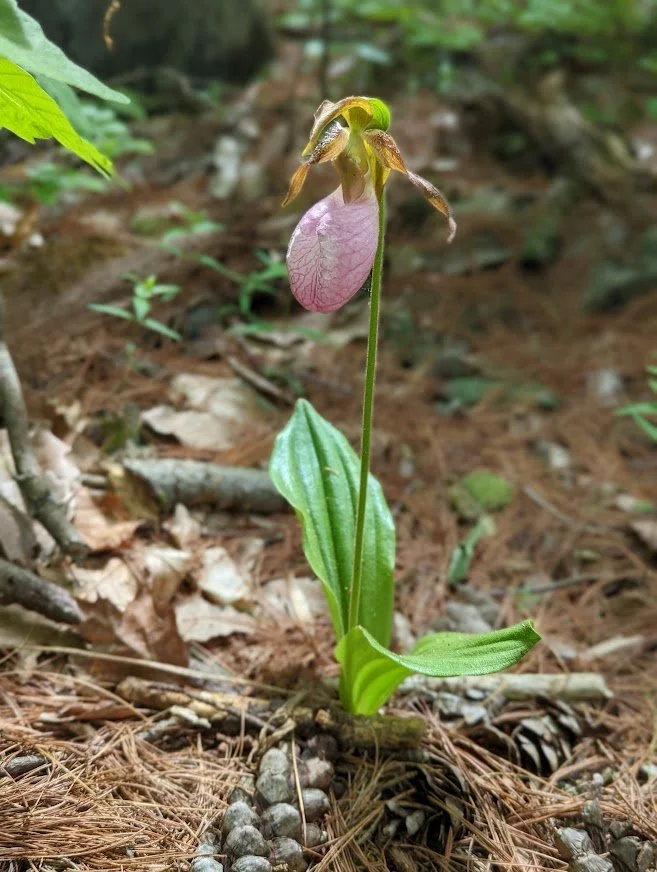
Isn't it beautiful? This is the pink Lady Slipper flower sitting so gracefully right along the trail.
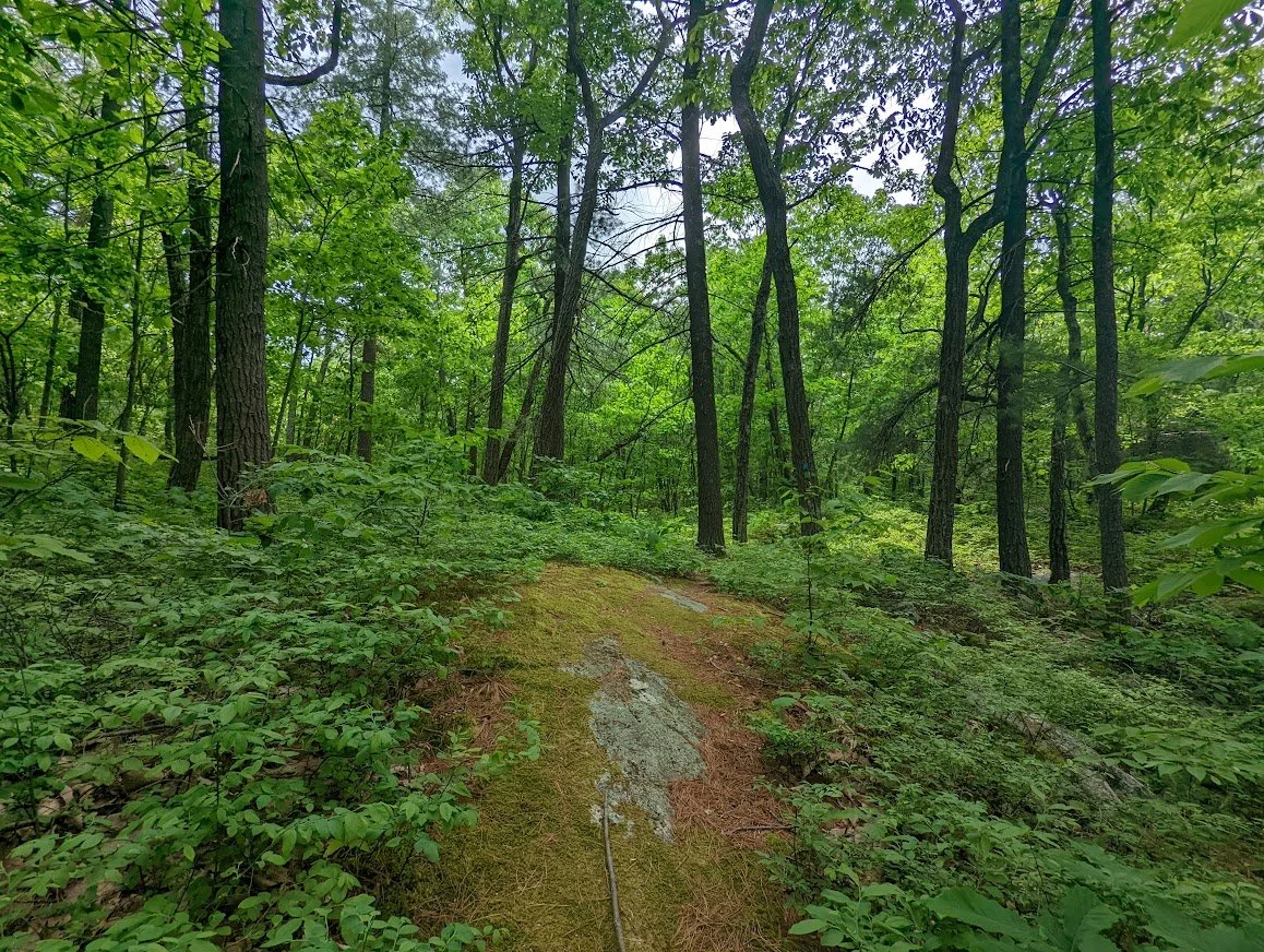
Oh! This section! It's like a magical fairy forest. It's a little piece of perfection. I wish this section was longer. It's wonderful.
The well traveled Burnt Meadow and new Tapawingo have ups and downs but also have this: the welcomed and appreciated flats!
Just a little obstacle to keep you on your toes.

BE MORE ERRATIC! (I really should have a tshirt like this)
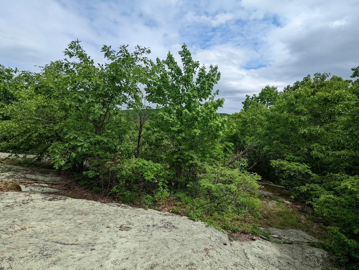
The viewpoint becomes more and more overgrown as the years pass. You can barely see a thing through the trees this year.
The Tapawingo continues south from here toward Norvin Green. I was not headed that way today. This was a quick trail completion hike. From here I would rejoin the Burnt Meadow and head back down the mountain toward my parked car.
Hello, friends!
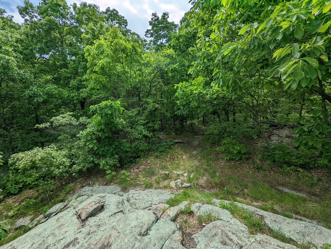
Looking back toward the scenic viewpoint you can really see how thick the growth has become.
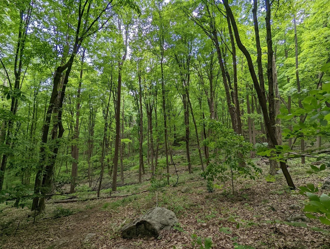
The forest is much more open on the Burnt Meadow trail as it moves down the mountain back toward Hewitt Creek.
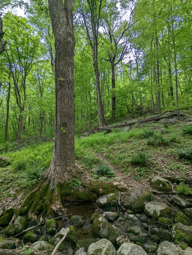
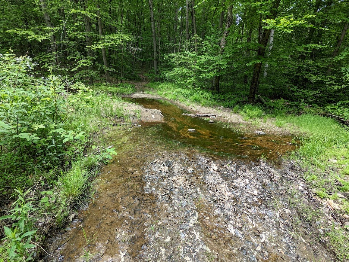
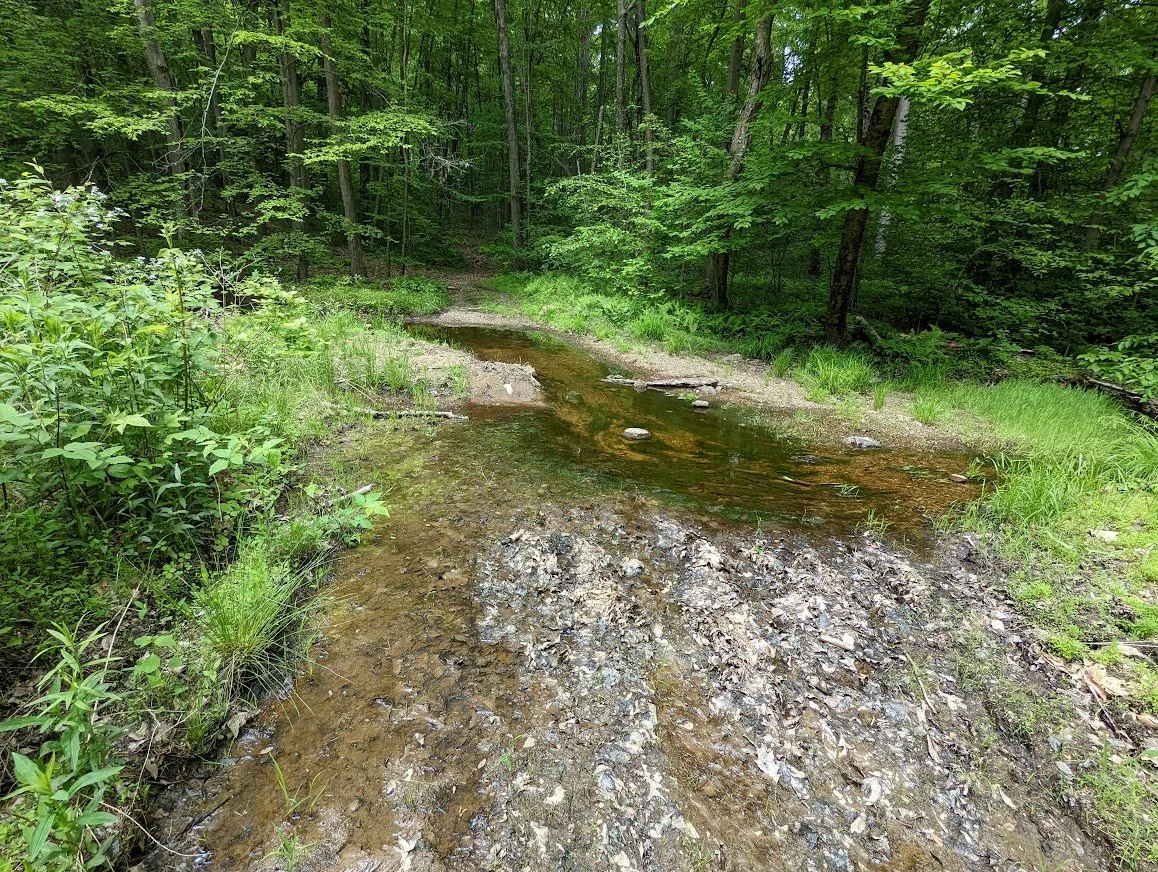
You'll cross the creek easily and maybe find a troll living in the tree.
And this is where I began (just looking in the opposite direction) where the Tapawingo diverges from the Burnt Meadow to head north in a very pleasant loop.