

Where am I going?

Highlight Hiker Blog
April 8, 2021
Norvin Green State Forest, Otter Hole and Wyanokie Crest West
I love the people I meet on the trail some days. Normally if you were to cross paths with me on the trail, we would just smile at one another and exchange pleasantries and move on our merry way. I’m a pretty shy person, to be honest with you, and while I loooooooove talking trail with people I don’t typically generate conversation. It’s typical to ask other hikers questions about the trail, “Is the blue trail very far ahead?” or, “Watch out for the brook - it’s flooded!” but it’s rare to find a friend while on a solo day hike.
But I had the nicest time leapfrogging with three ladies (pictured above) on this particular day, that I actually made… a friend!
I met them in the parking lot. They pulled up at the same time I did and we chatted briefly in the lot. As we walked from the overflow lot at Otter Hole to the trail head, I was up ahead but I could hear them chatting behind me and got the feeling we were doing the same trail.
It was glorious outside: a sneak peek of summer with a cloudless sunny sky and comfortable temperatures in the high 60’s. Even though the trees were only budding, there was still plenty of shade in the forest and gentle breezes at the higher elevations. It felt magnificent to be outside on a day like that after being cooped up from a harsh winter during an isolating pandemic; I just wanted to talk to people and share my joy.
Two young ladies with three dogs were stepping out for a walk when I arrived at the trail head. They seemed really kind, too… and I talked to them! Ooooh. Aaaaah.
The three ladies zoomed up the trail ahead of me, and I didn’t want to wait to get my first photo of the trail head, so I just took it when I thought they were far enough ahead to still keep their identity private.
When I reached the point where the Wyanokie Crest trail turns to the left, I found the three ladies there, chatting it up and getting situated for the big climb ahead. I was headed in the opposite direction on the same loop, I learned. We cracked a few jokes and then I went on my way, really pleased that I would see them at some point during my hike.
Past my midway point, though, I got nervous. Look, people, I’m really slow on the trail. Not only is my pace slow but I stop to take pictures and videos and write things in my journal. I’m like, epically slow. But I’m totally fine with that. It’s my pace. I like to drink it all in and take my time. Because these ladies zoomed so far ahead of me, I thought they would meet me well before I got to my halfway point. I was sad because I thought maybe they took a detour and I missed them. But just 2/10th of a mile up the trail past the halfway point, I met up with them.
They were taking another break, and a young lady was with them. She was trying to choose her route and didn’t have a map. I let her take a picture of my map. We all talked trail for a bit. And then we all took our leave. But I really wanted to take their picture together. They were friends, you could tell, and they loved hiking. And while they were older than me, they were having just as much (if not more) fun than I was out there. They weren’t rushing to get to the end. They had a plan and they were enjoying it.
But I was too shy to ask them if I could take their picture. Curse you, shyness!
After I climbed up and then down Buck Mountain, I had mad respect for these ladies who conquered the steep ascent and continued to barrel up the trail. I was alone and had to singularly make decisions for myself whether or not I should skootch down the steep rock on part of the descent (I did. Twice.). It took me a long time to plan my route and pick my way down, using itsy bitsy switchbacks of my own making between the toaster sized rocks jutting up sporadically on and to the side of the trail. I thought it must have been much easier to get down. They went UP. I don’t quite know how they did it! I would have been stopping every step to catch my breath! I imagined their friendship and camaraderie helped propel them up those 260’ (under a half mile). And while trail pals are something that I lack, I’ve given it a lot of thought and I’m ok with that. I covet my alone time. It gives me an opportunity to think out whatever ails me. It’s given me a lot of self confidence.
But…. when I got back to Otter Hole, I just wanted to congratulate all four of us on our success climbing up/down Buck Mountain with high fives and cheers. My trail friends hadn’t reached the parking lot. They were adding a scenic loop to their route, which would prolong their hike. And for the first time in a long time I felt… lonely.
So I did something completely uncharacteristic of me. I left them….
A NOTE.
Yes, I left perfect strangers a note on their windshield. ME. I gave them my email address. I told them I had a picture of them.
And one of them replied.
Norvin Green State Forest
Otter Hole and Wyanokie Crest West
Total Mileage:
5.03 miles
Total Elevation:
1,220 feet

We all started out on the blue Hewitt-Butler, which from the point crosses the parking lot and road and goes to Torne Mountain and Osio Rock in the opposite direction we were all headed.

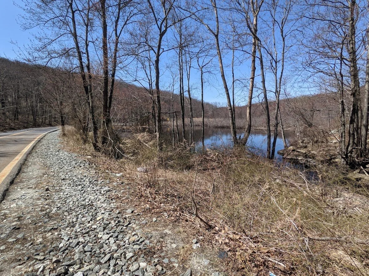
Posts Brook is a chain of small waterfalls and rushing water that leads to Wanaque Reservoir.
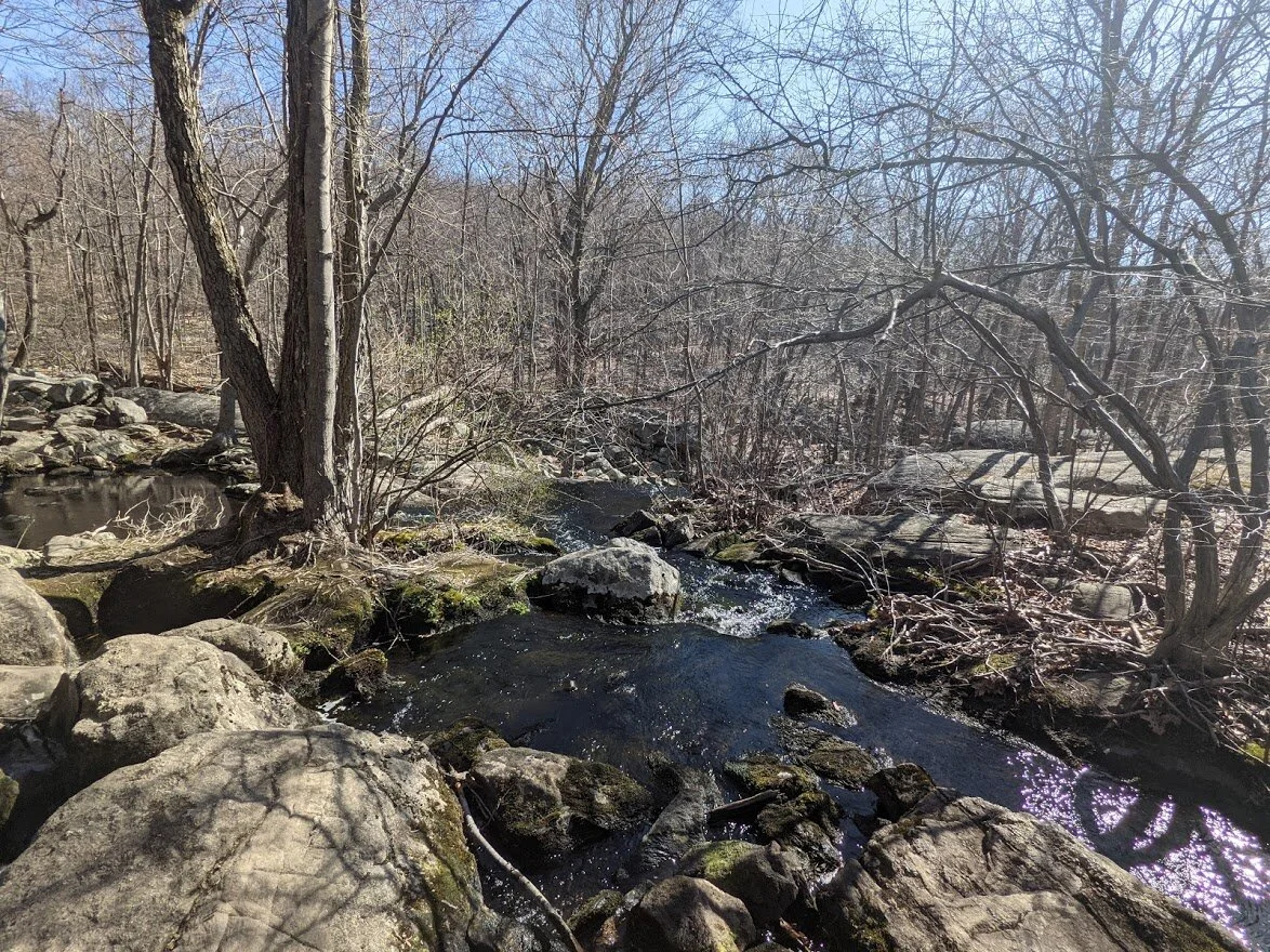
There was a lot of spring run off but the day was dry and I saw the water levels dip throughout the park in the amount of time I was out there.

It's very easy to skip rocks across Posts Brook by the Otter Hole parking lot. But that doesn't mean that the water is warm, nor shallow before it crests the rise and tumbles down onto rock. So... y'know... don't fall in.
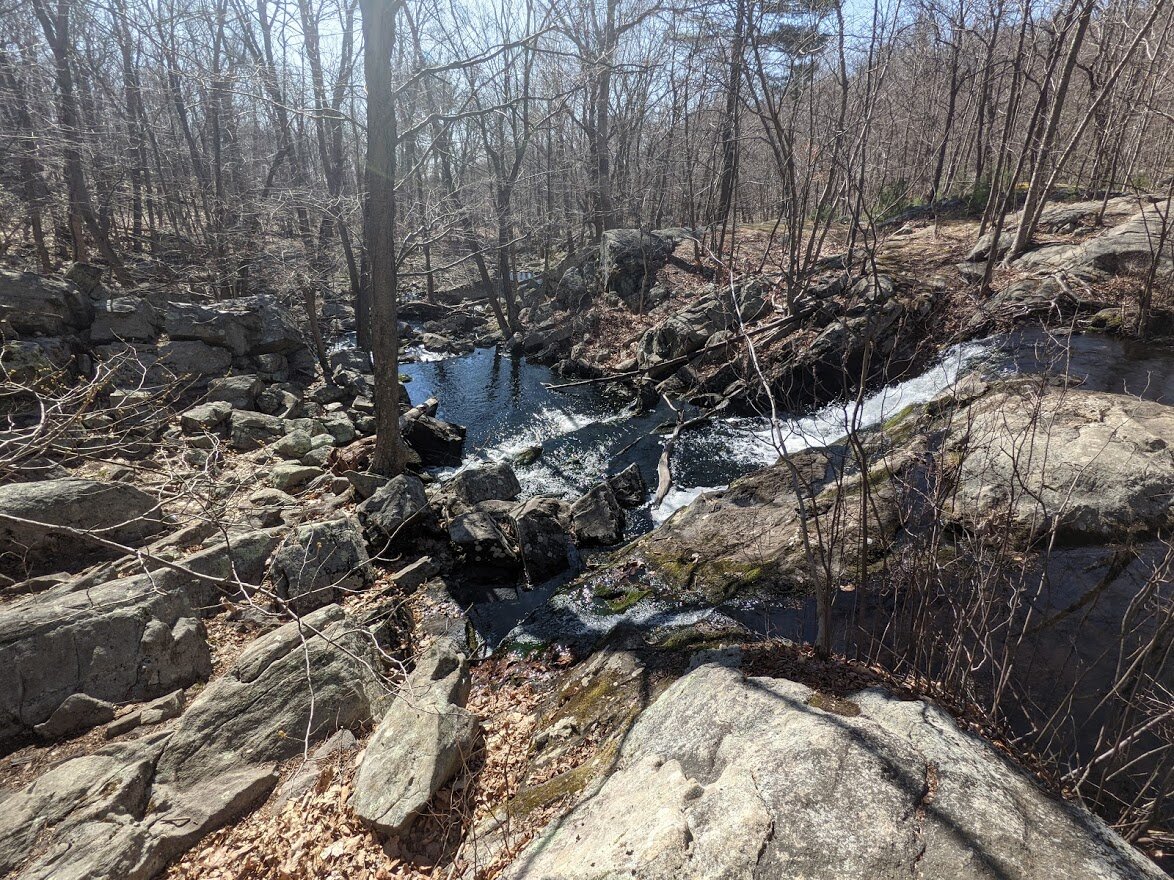
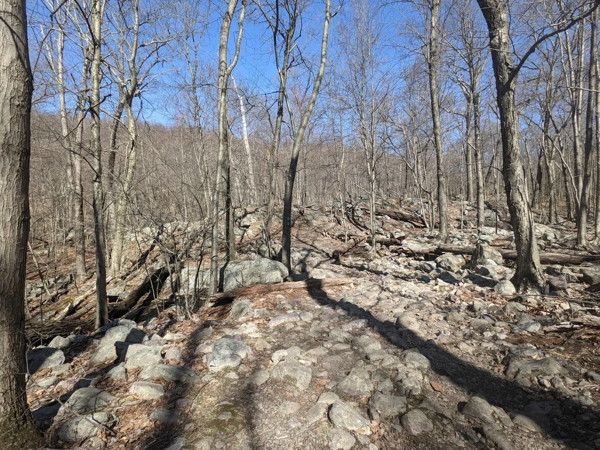
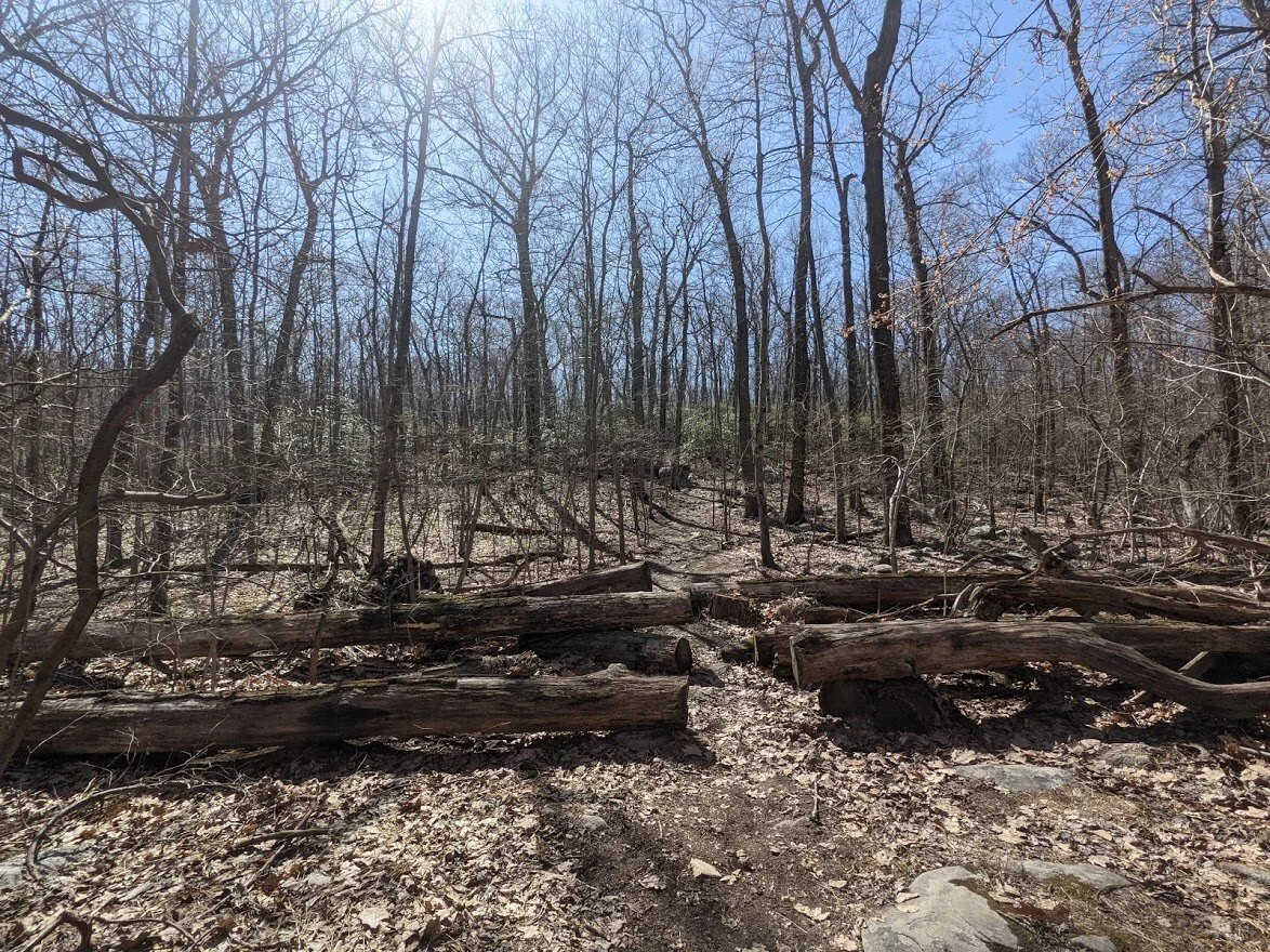
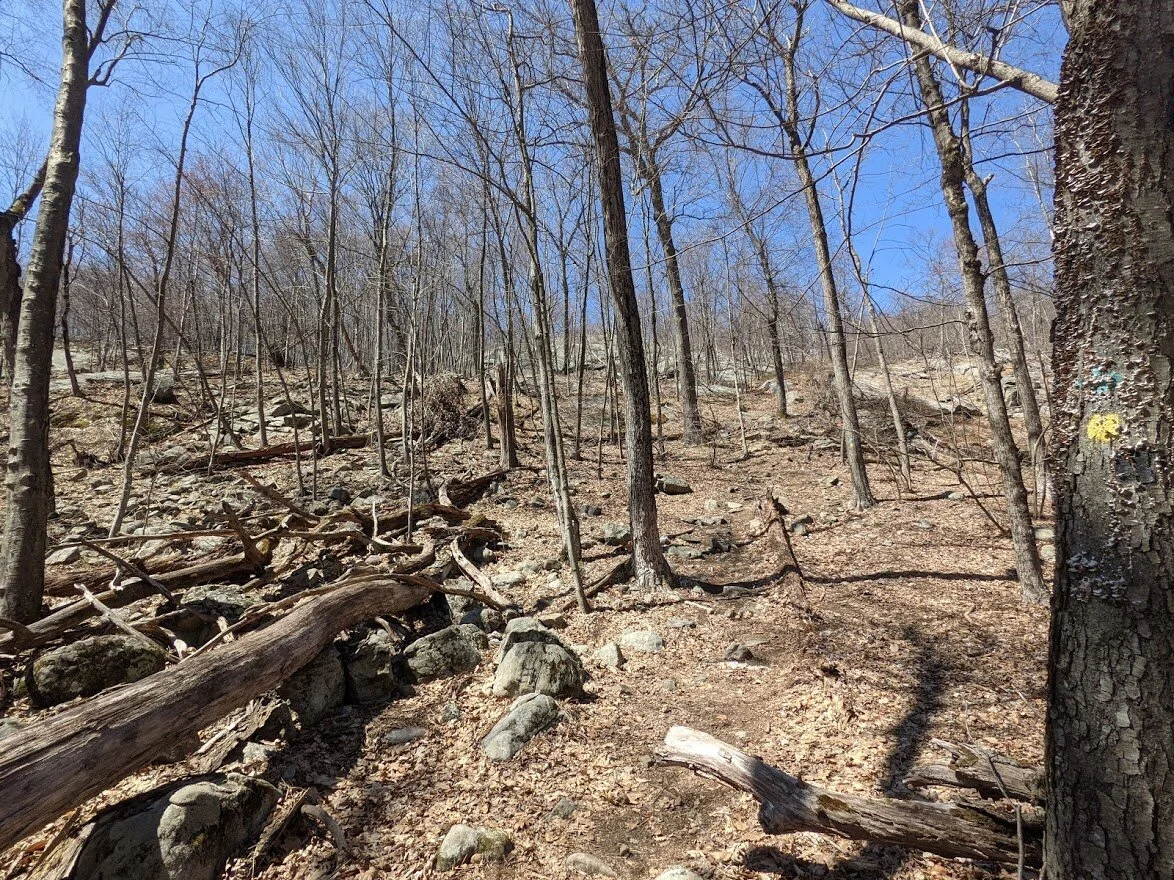
Posts Brook is full of rock and falling water. The trails here that follow the river have moderate to difficult terrain looking similar to this for it's length.

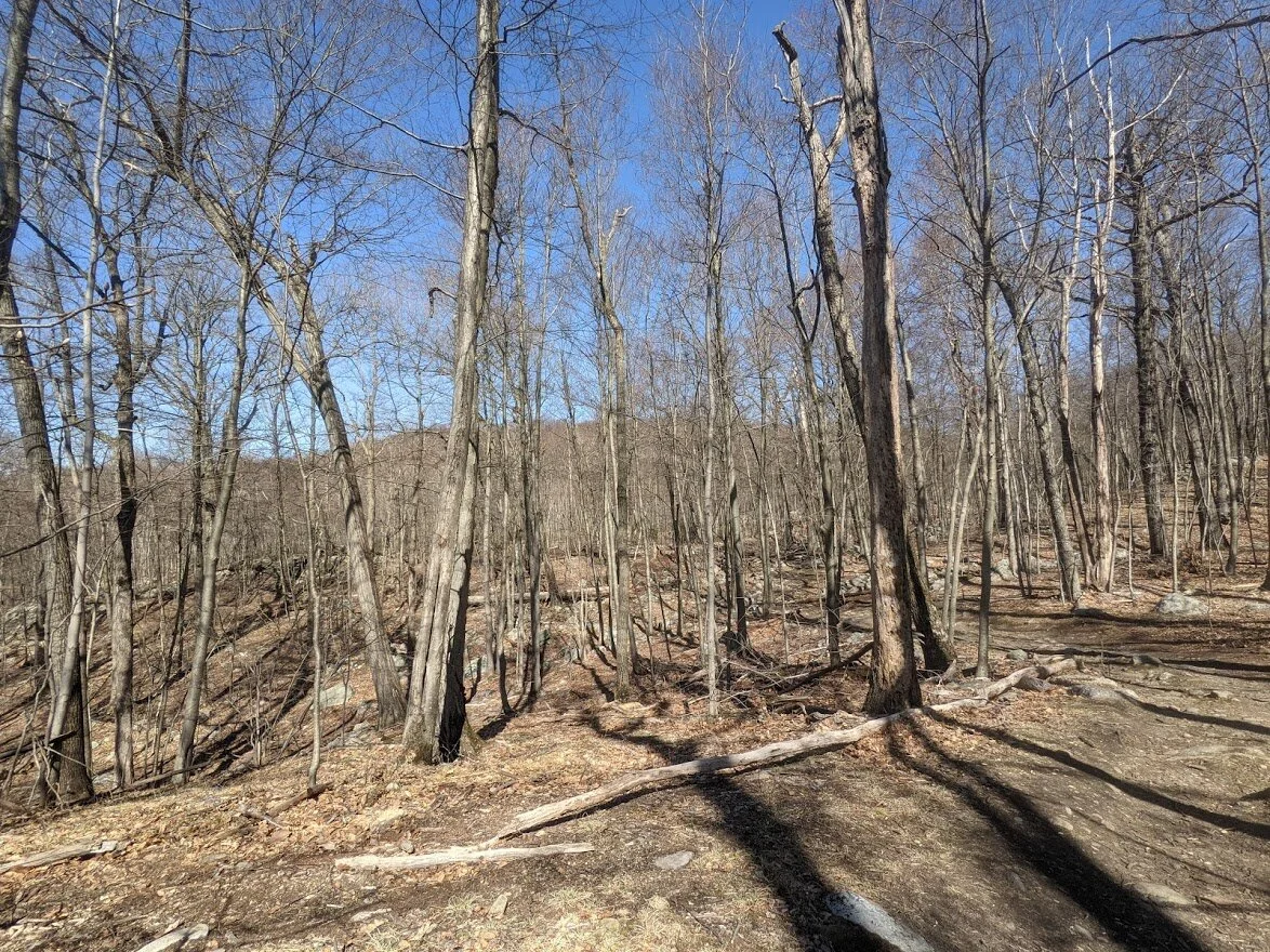
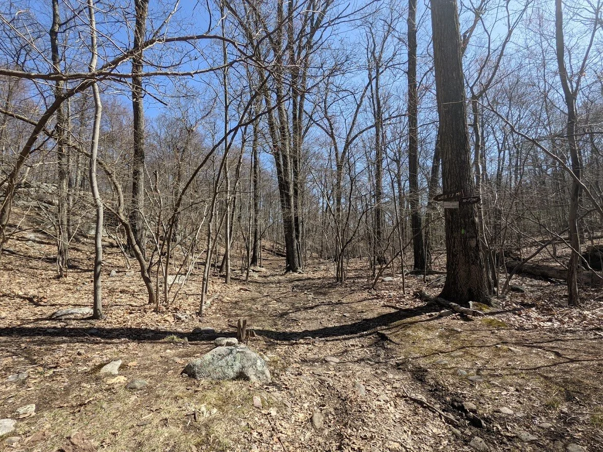
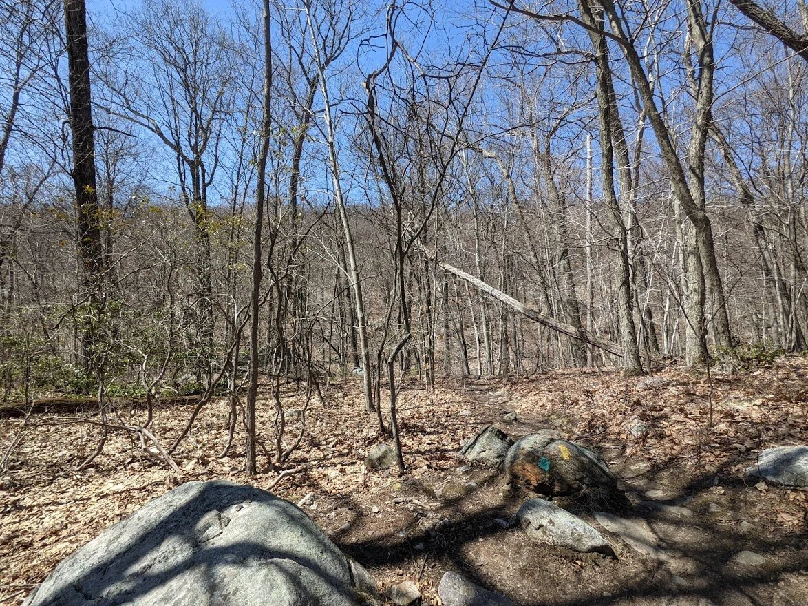
Just a little further and you reach, what will become an intricate and well worn trail system with packed single track, double width track and rocks galore.

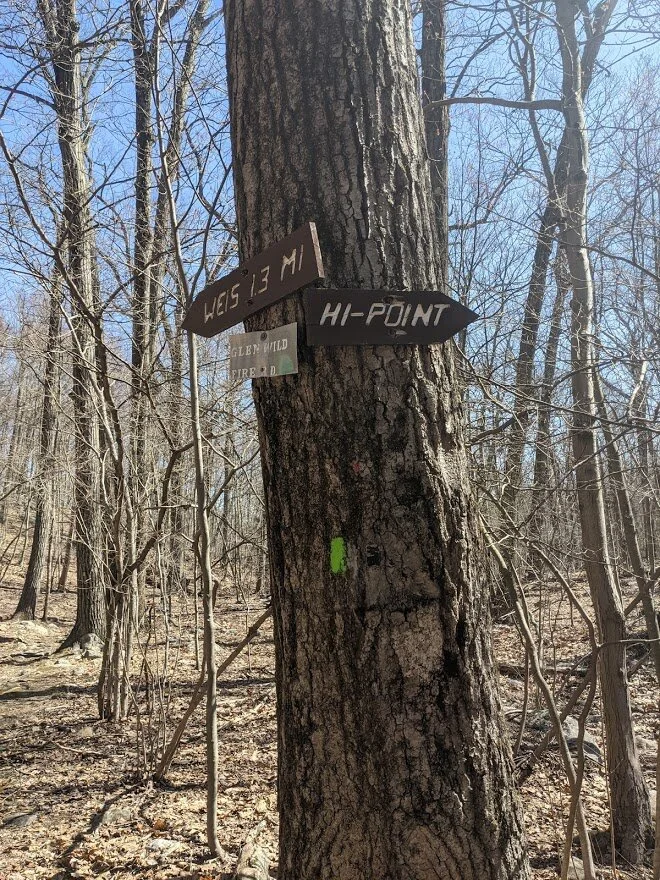
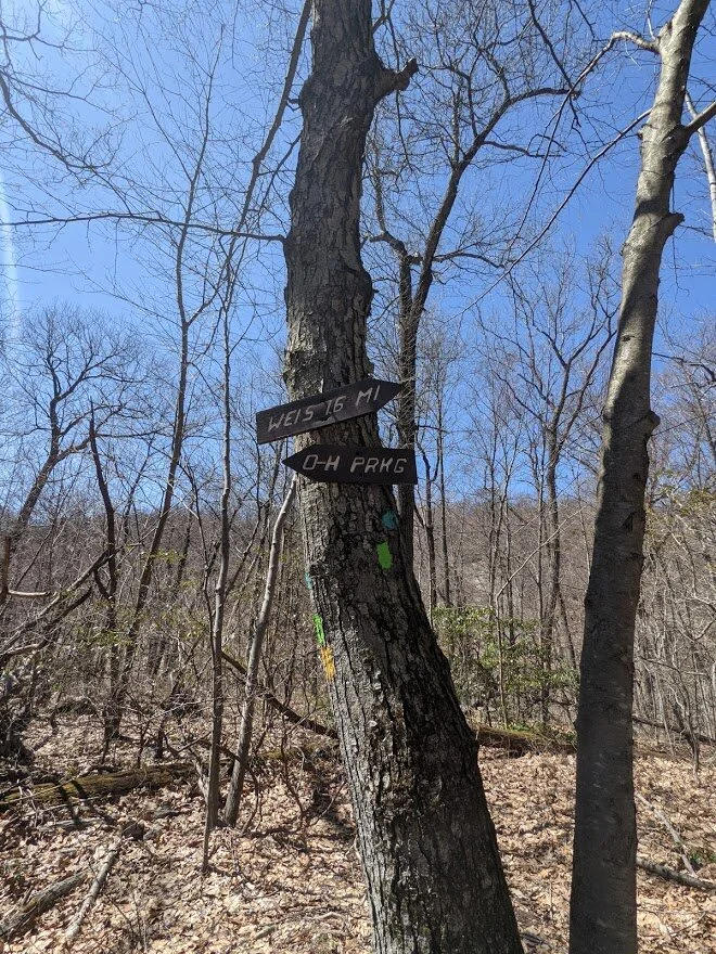
Not all trails are marked quite like this, but most trail intersections do have signage to let you know what you're headed toward and how far.
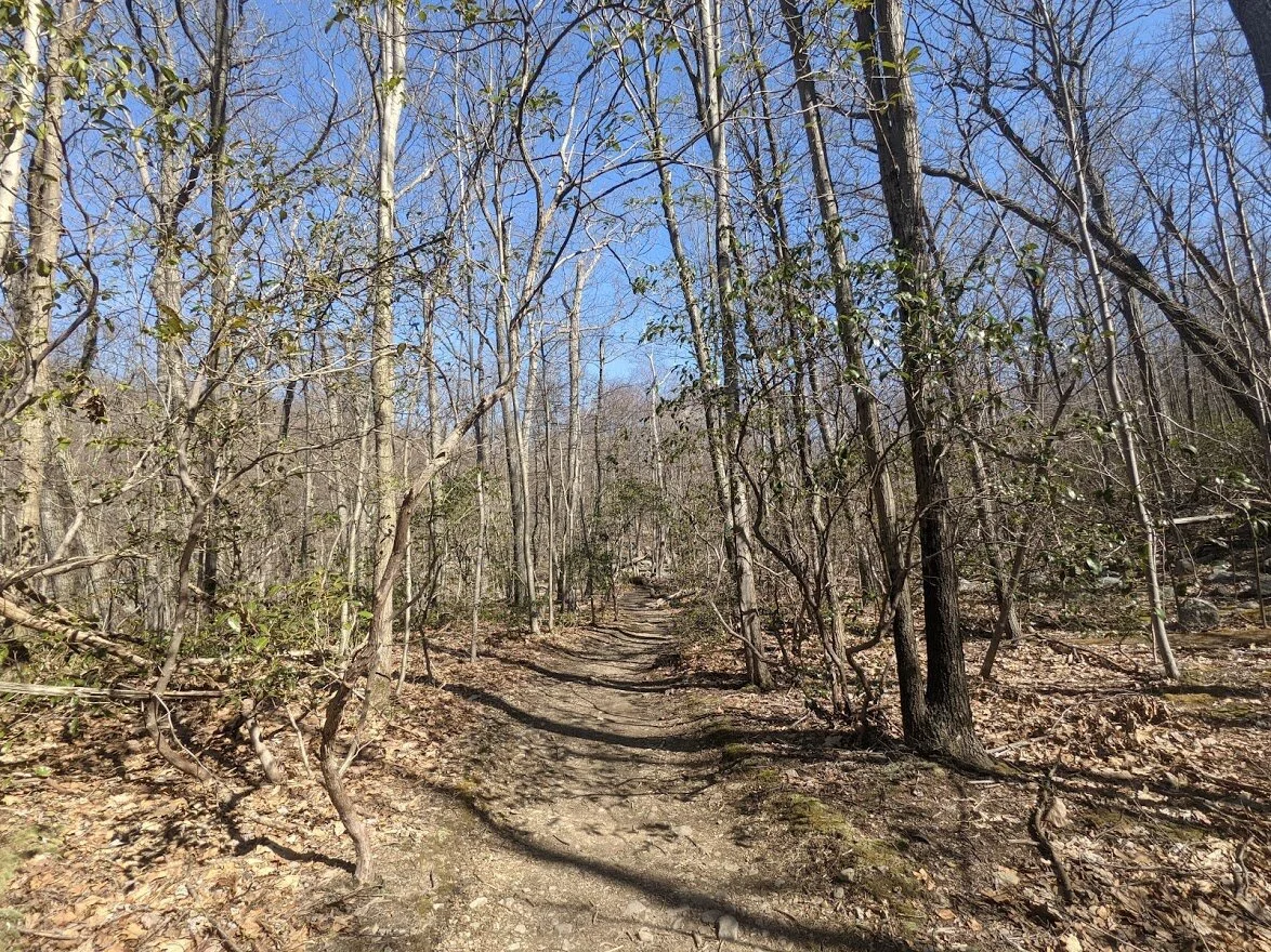
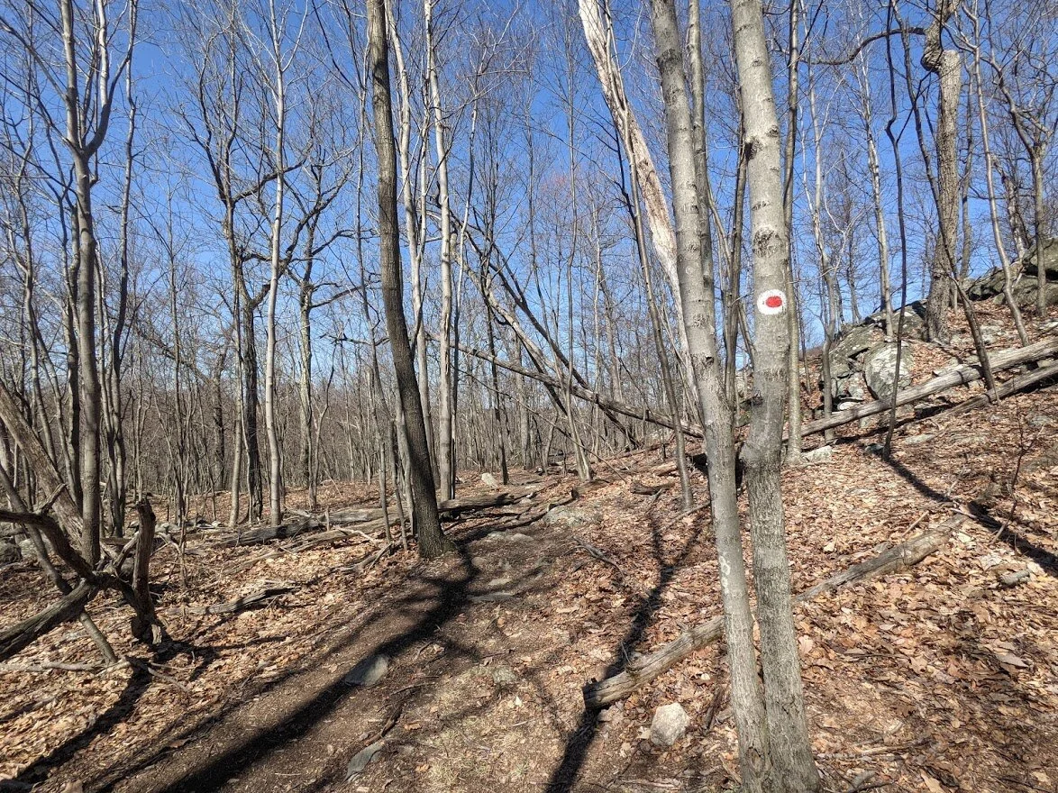
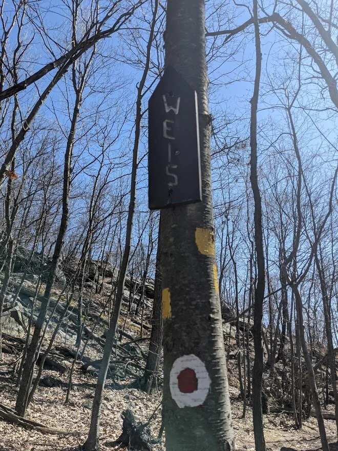
Otter Hole (green blaze) is a fire road, and it looks like it! The wide, densely packed wide trail cuts through the heart of Norvin Green State Forest to be the most direct route between Otter Hole parking lot to the New Weis Center parking. It is heavily used.
But that doesn't mean there aren't boulder fields along the trail!
A very rare portion of easy terrain on an very gradual grade. Enjoy it while it lasts (which isn't very long)!
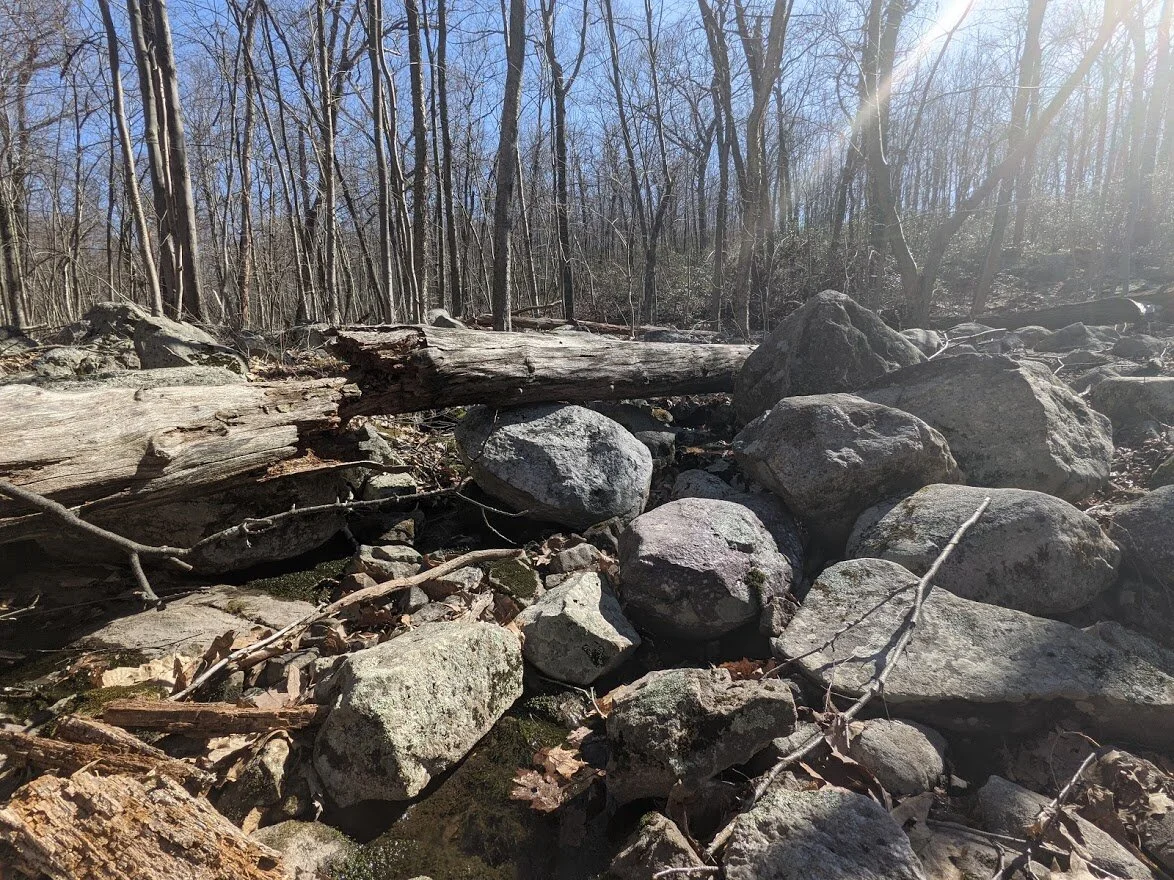
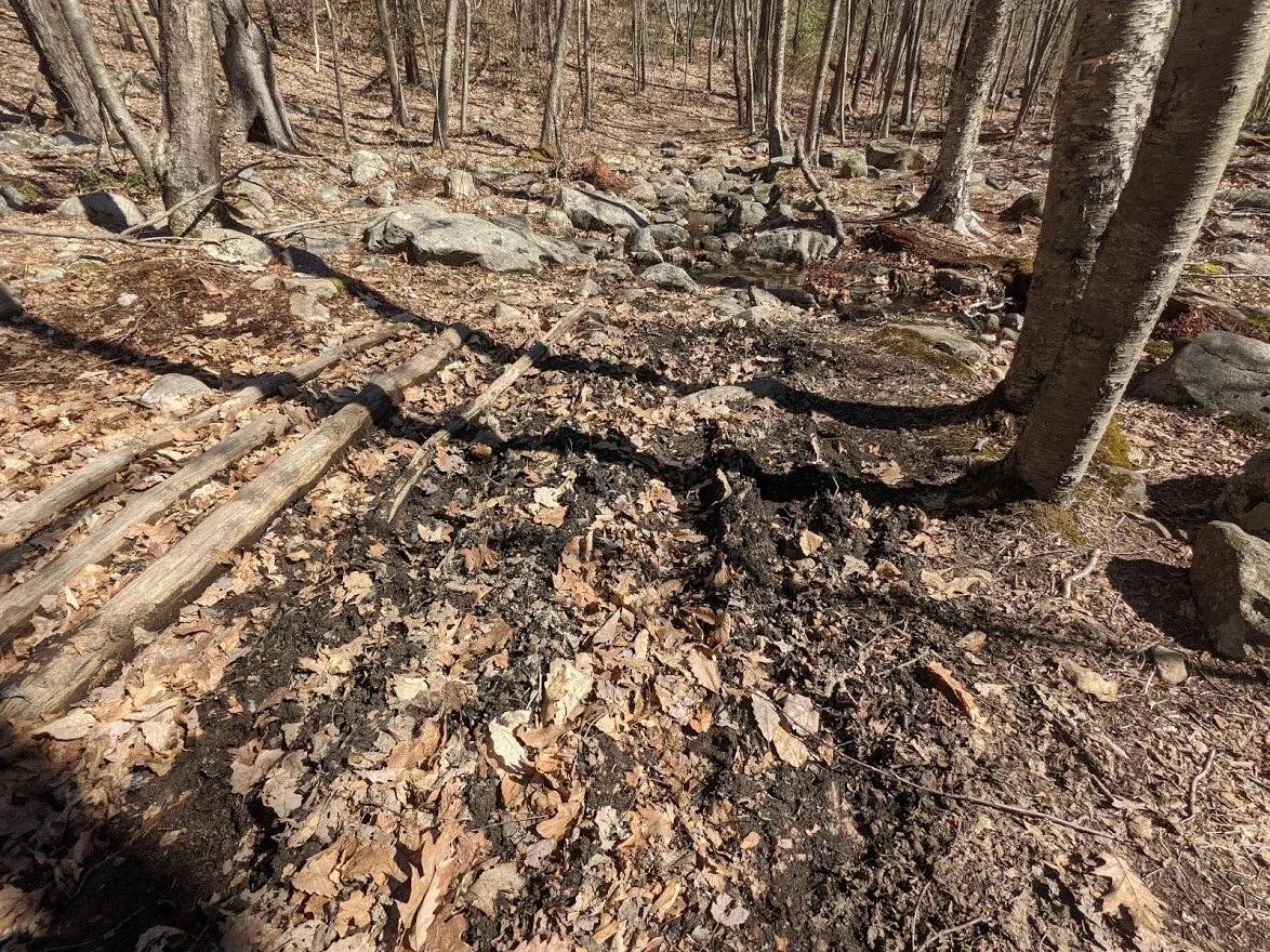
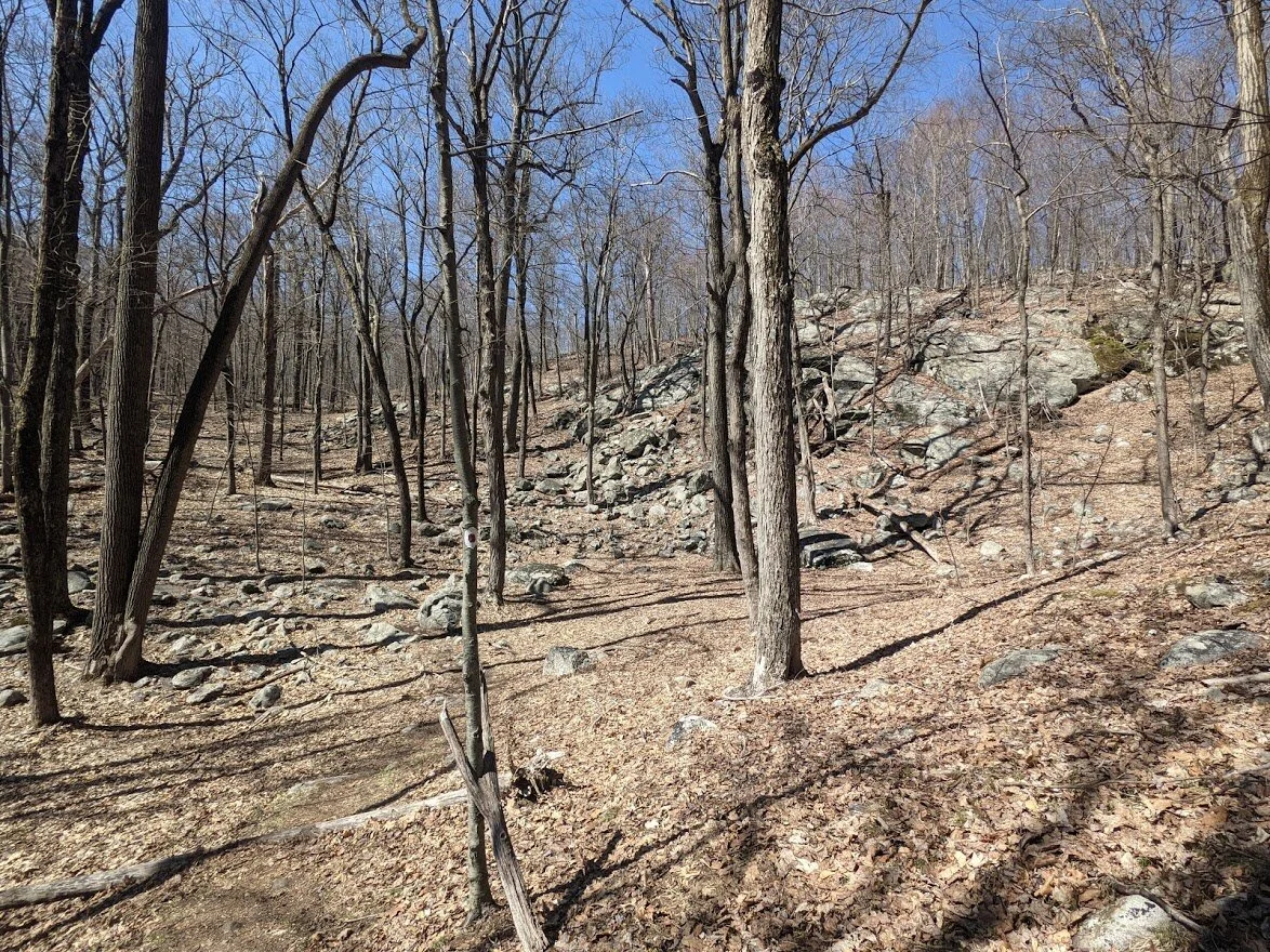
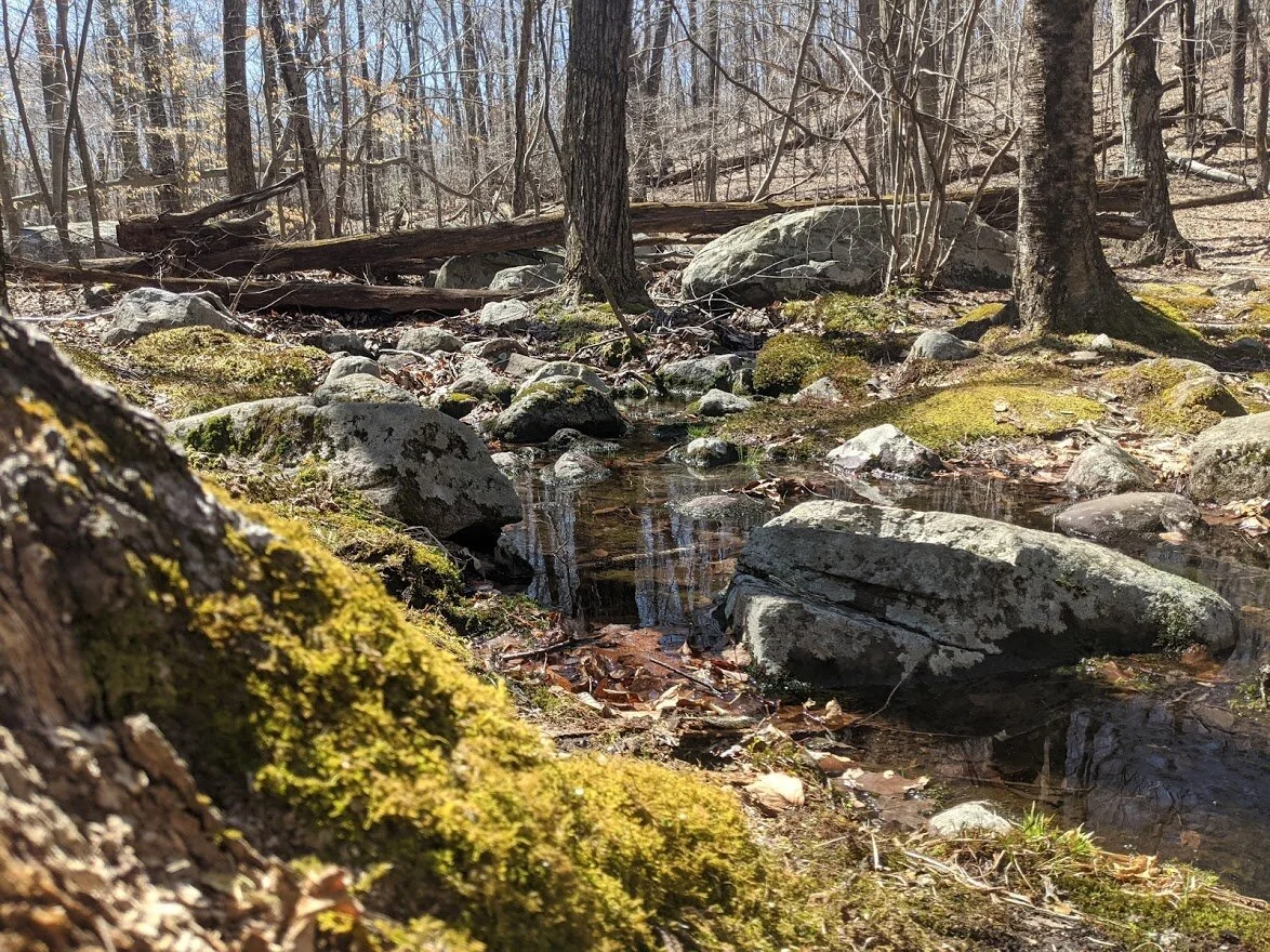
This seasonal water crossing leads down into a ravine, providing cool shade and a nutrient rich habitat for wildlife.
And really big rocks to cross.
I moved aside for the two ladies with three dogs to pass. The three hiker ladies were long gone up ahead on trail.

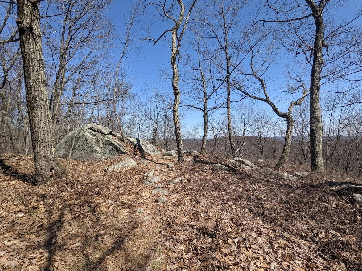
The trail stays wide as it climbs up to the first scenic viewpoint

You climb steadily up a gradual incline.
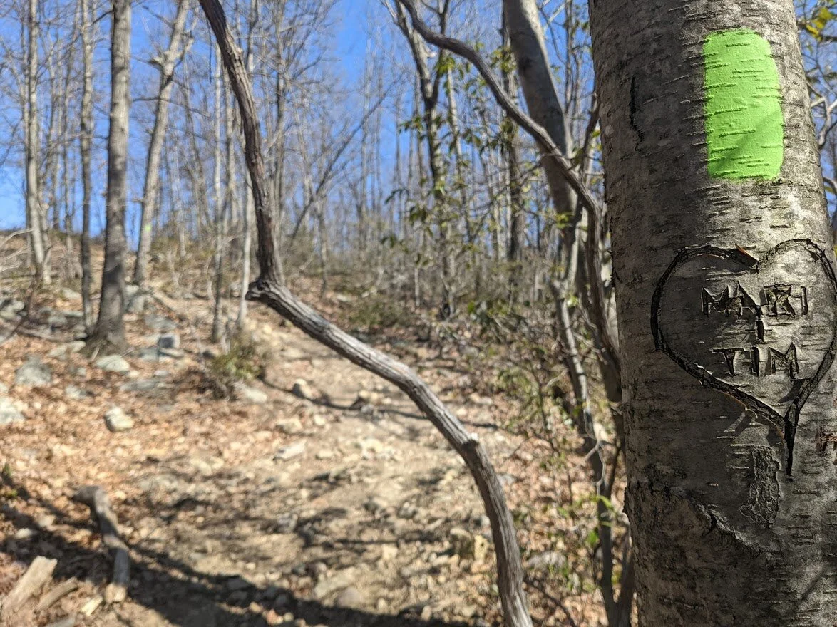
Hope their love was worth it. Poor tree.
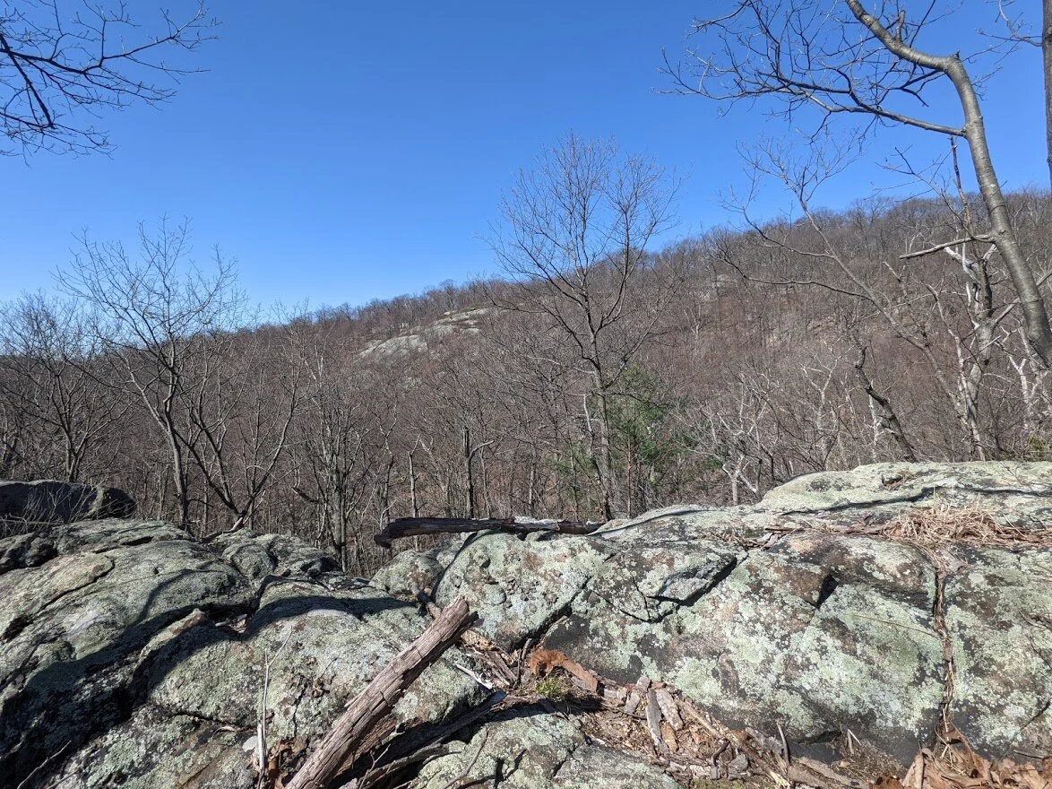
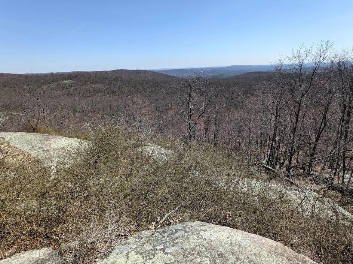
The scenic view overlooking Buck Mountain. It's not a bad view at all with the deep valley separating the two.
All I could think when I was here was how this spot would be crawling with people on a summer weekend day. =shivers to think=
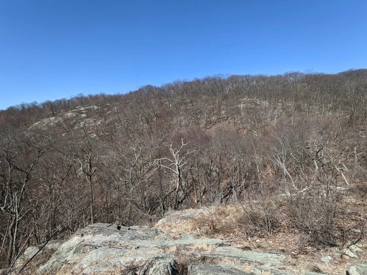
Buck Mountain looks a lot less menacing than it is here. Luring you in....
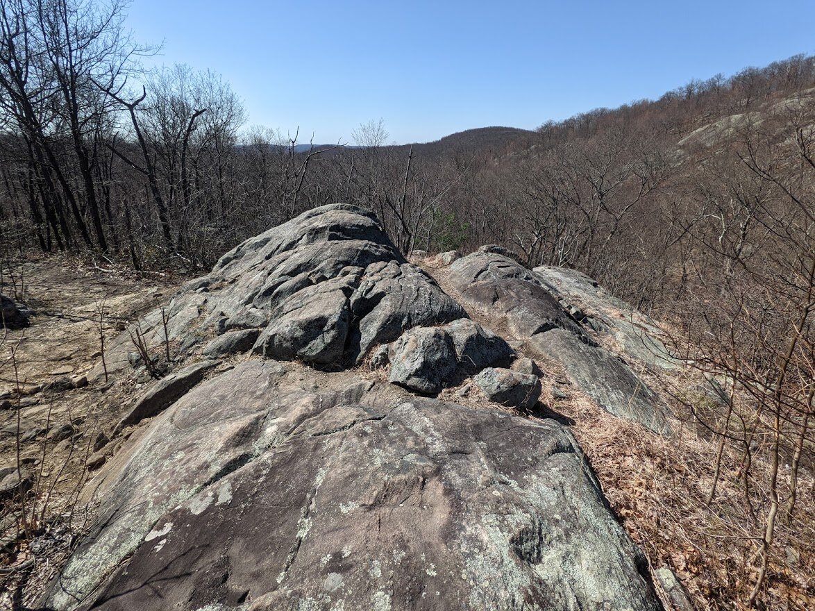
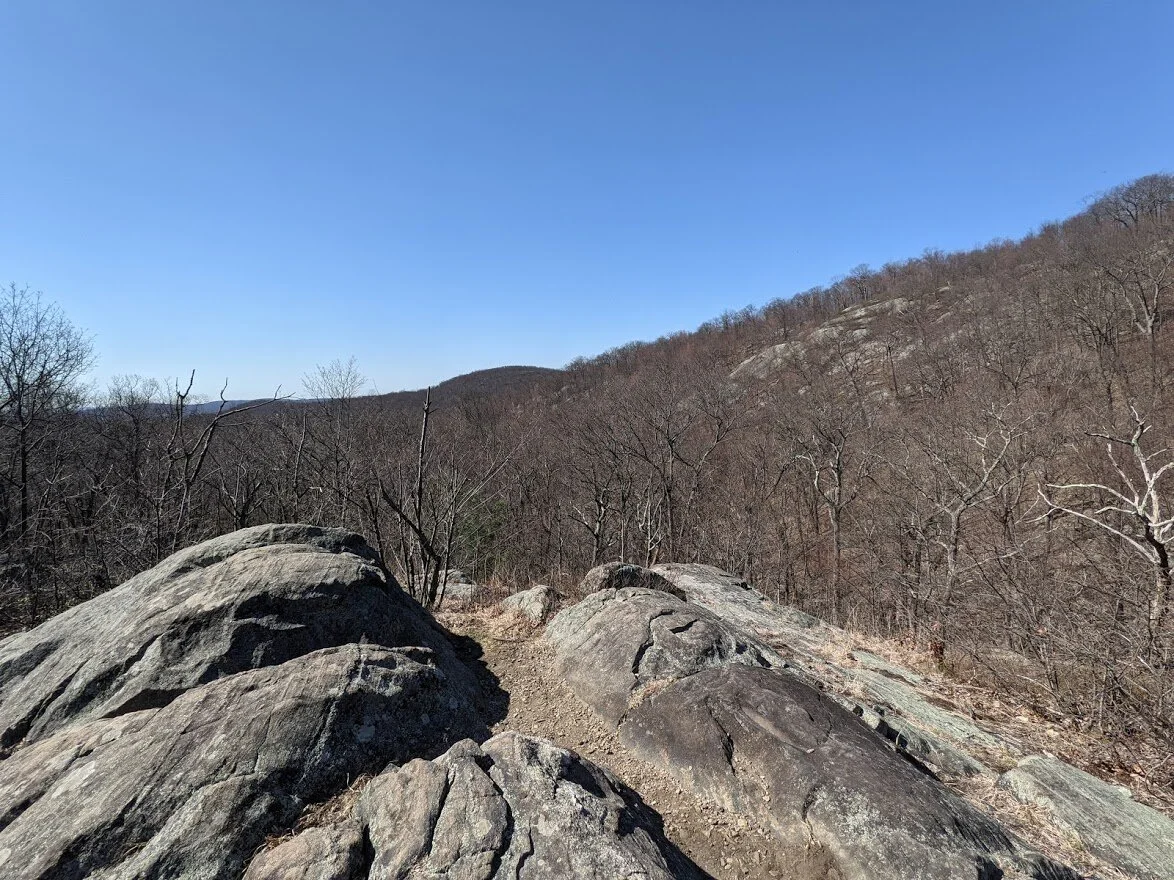
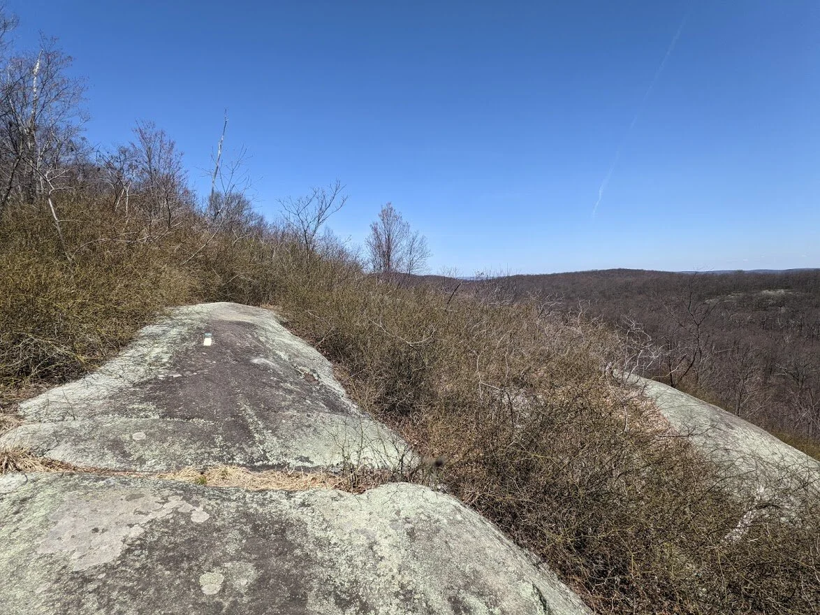
This is the primary viewing spot.
But there is more room over here, to the right of the first spot.

And the view is nonetheless spectacular from the secondary spot.
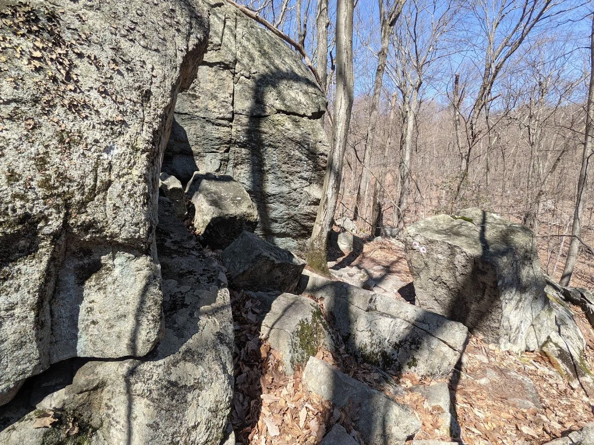
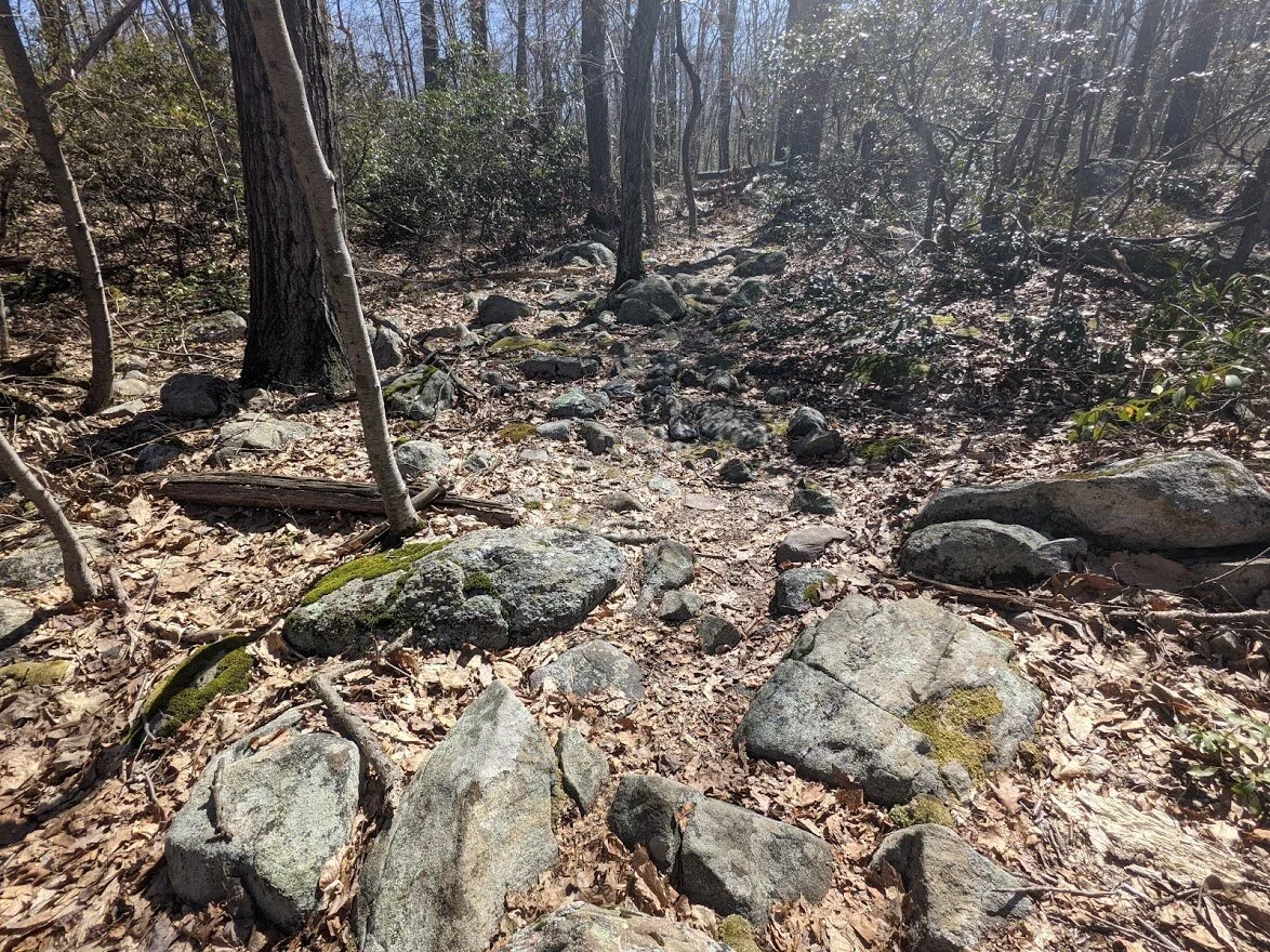
There are dozens of seasonal creek crossings that are nothing but a jumble of rock interspersed all over the state forest - not just this trail.
With trail like this, it's helpful to have mid-height waterproof boots!
Once you come down from the scenic viewpoint, you walk through a gorgeous valley.
Jumbles of rock are everywhere.
In addition to being a fire road, the trail is heavily used and hard packed. No trouble maintaining social distance here!
It's a quick walk through the valley and then then you're met with the intersection of the Wyanokie Circular (red blaze). This isn't the only way to get to Wyanokie point from the Otter Hole trail.
This is looking east, on the Wyanokie Circular trail that leads to Wyanokie Point.
This is looking north on the Otter Hole trail (green blaze) toward New Weis Center.

This is the direction I was headed in: west, toward Assiniwikan Mountain.

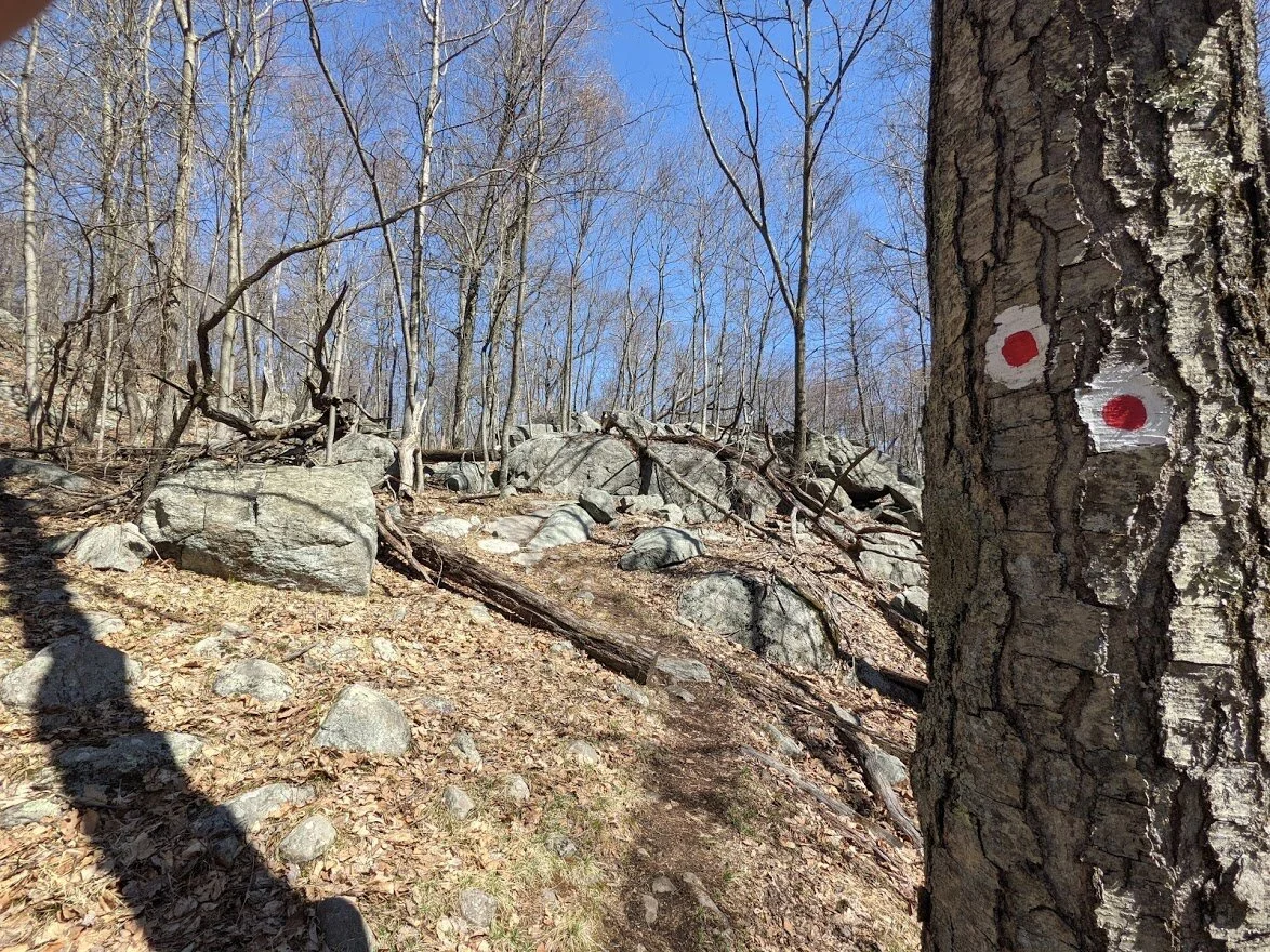
Remember the fried egg trail? Yeah, this is it's distant cousin... the... uhhh... red egg trail.
Heading up a short little stubby hill on the Wyanokie Circular.
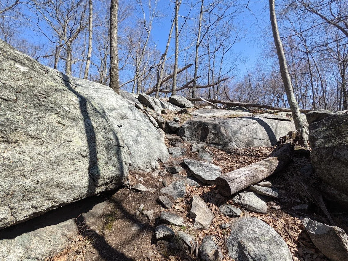
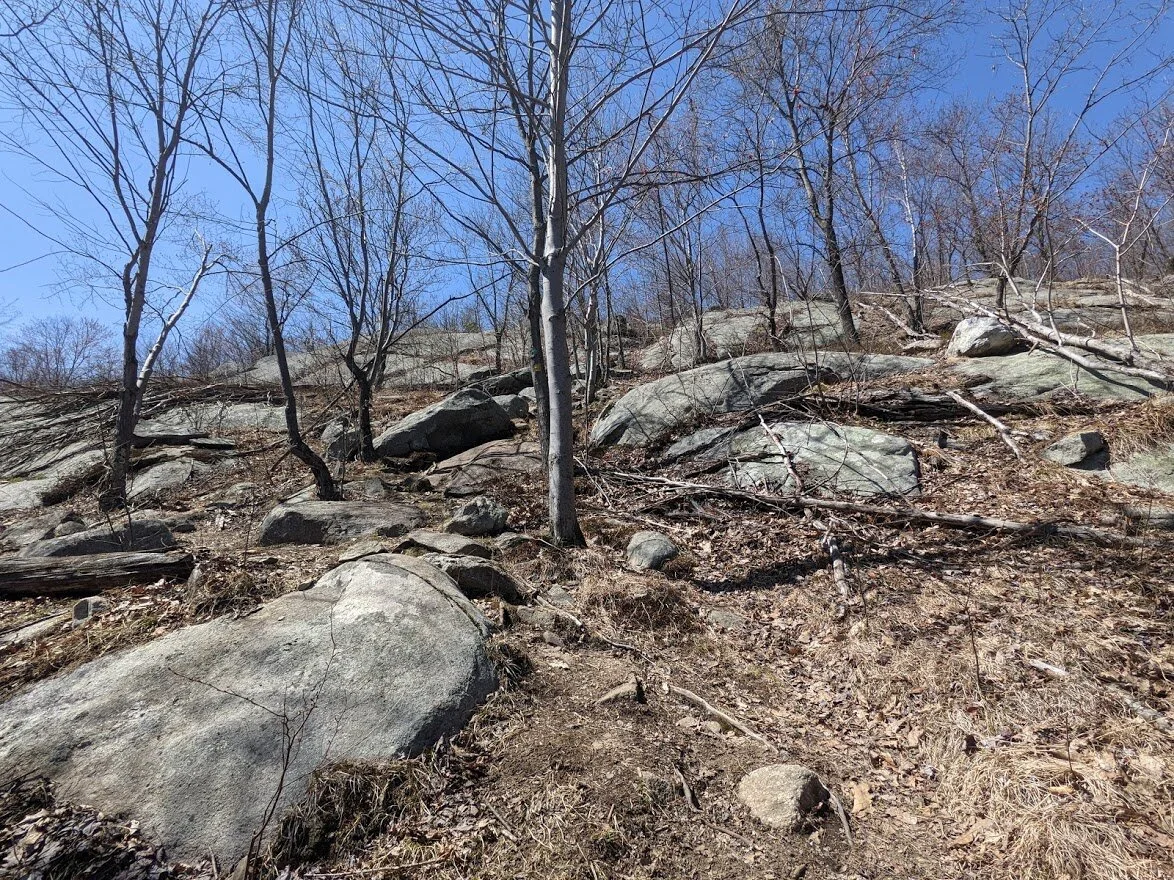
This is where the real fun stuff begins. You dodge between magnificent boulders of all shapes and sizes.
Oh! I even got in some ridge walking!

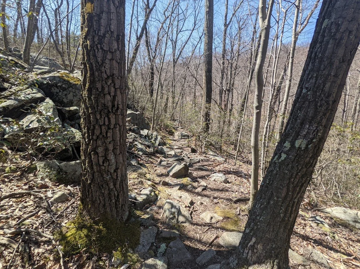
This section of the trail was my favorite (and not because it was downhill, either). Weaving in and out of rock and not knowing what was around the next corner was exhilarating.
Anyone who loves bouldering would have an excellent day on all these rocks right along the trail.

Continuing downhill... I'll be going up and up and up again soon enough.
Ancient glacial rock in front, to the side, and all around you on this peaceful section. I was really hoping I wouldn't run into a bear around one of these corners!
And then the valley opens before you and it is just delightful! Forest floor as far as you can see in every direction, and the hill ahead gives you a sneak peak at your next challenge.
After a short climb I stood and took in the view. What the camera can't pick up is the valley below, all covered in sunshine.

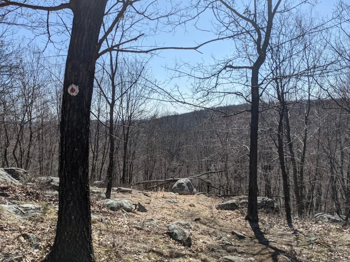
If you look closely, you can see the pink blaze of the Will Monroe loop. I have a plan to do this loop at a later date. It has beautiful views, I'm told. I'm looking forward to checking it out for myself!
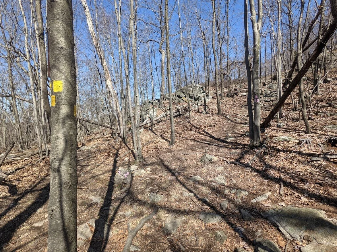
From here, I turned south and headed along the Wyanokie Crest trail (yellow blaze). I would say there are two distinct section to this loop: the west portion (that I'm on), and the east section (which comes in the next installment). Both are really cool, very different from one another, and challenging.
Looking back at the Will Monroe loop.
Looking toward the Wyanokie Circular (facing northeast).
After a short water break, I was off, headed toward the Otter parking lot via the Wyanokie Crest trail.
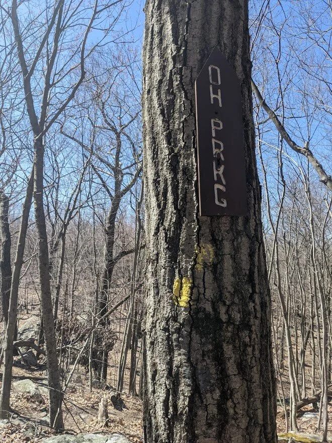
I just love the sings. It reminds me of the national parks we visited when I was a kid.
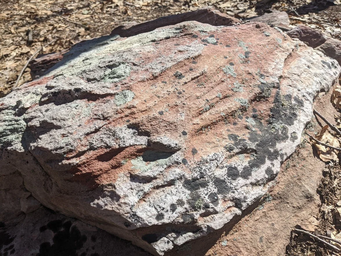
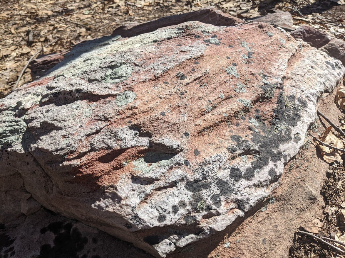
Look at this beautiful specimen!

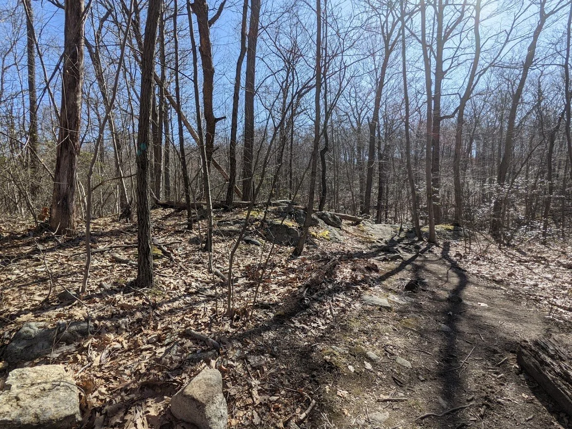
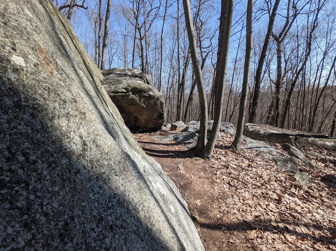
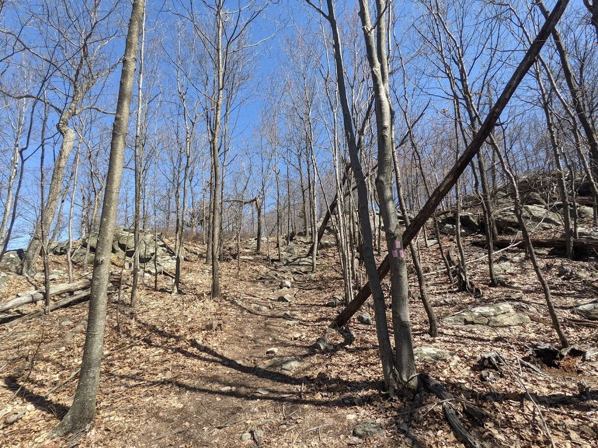
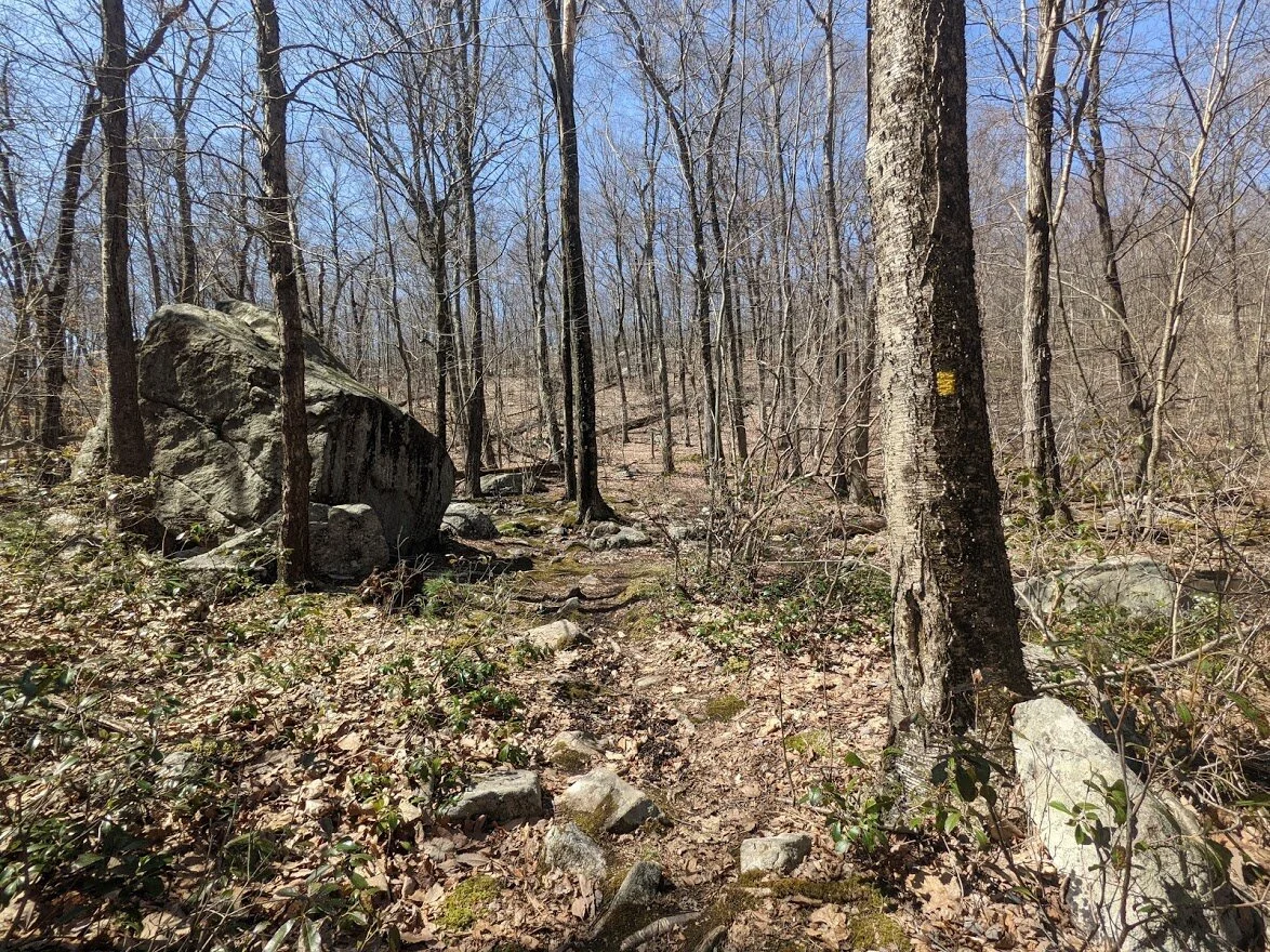
This side of Buck Mountain has quite a few unmarked trails that lead goodness knows. But I stuck to the blaze.

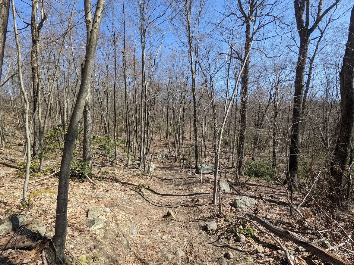
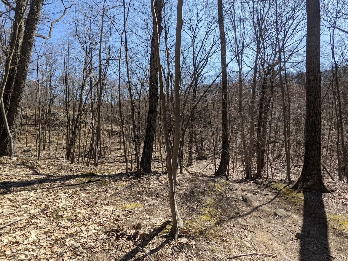
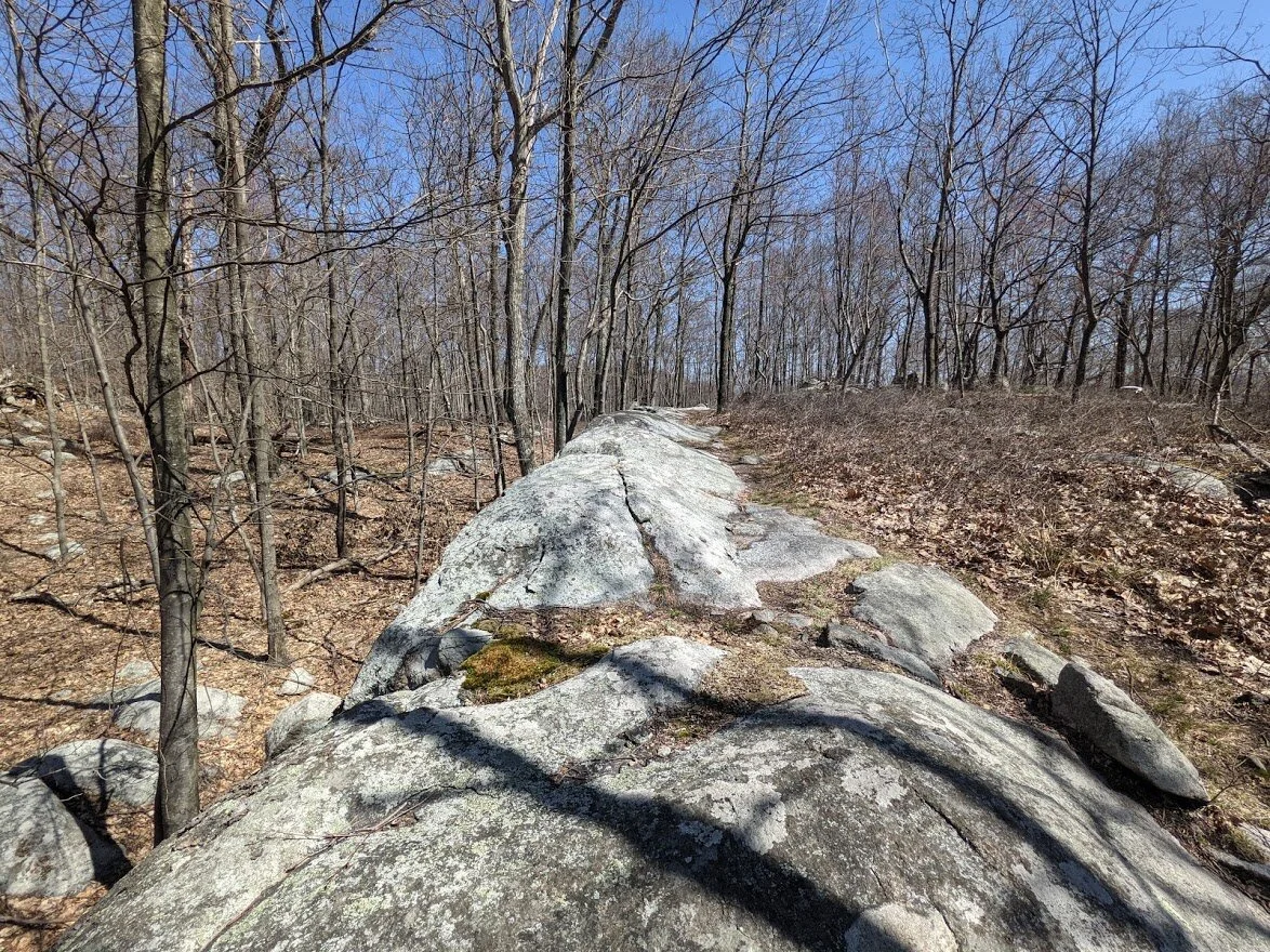
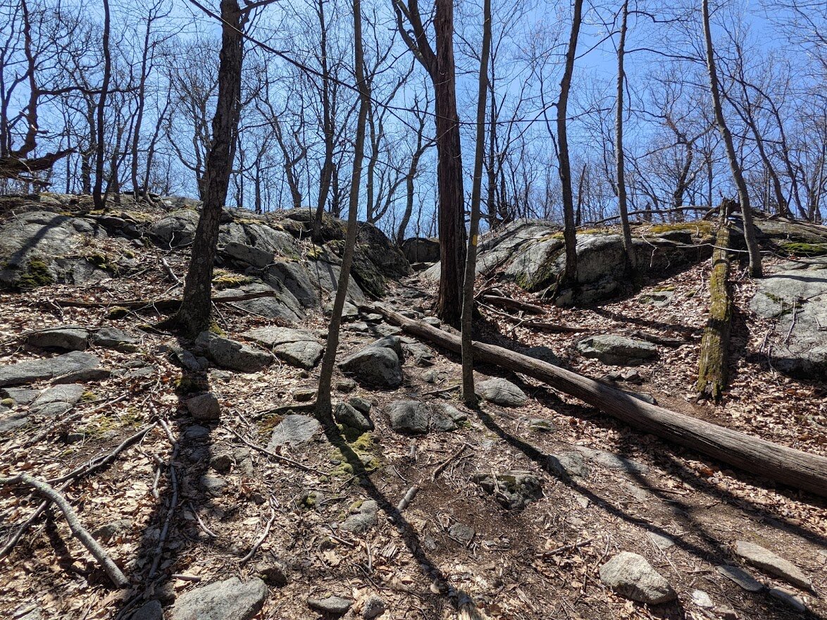
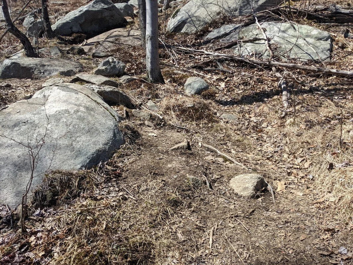
Again, you can tell this is a well worn trail. All of Norvin Green is heavily used. It's so beautiful though, and has so many unique features, you can tell why once you begin to explore here.
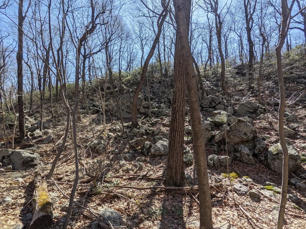
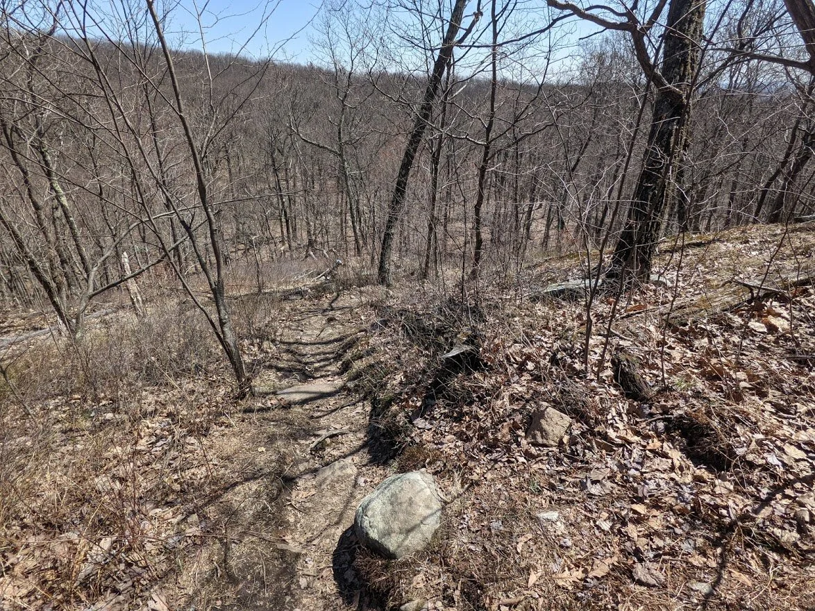
The terrain is mixed, but all of it rocky.

Lots of opportunity to accidentally twist an ankle.
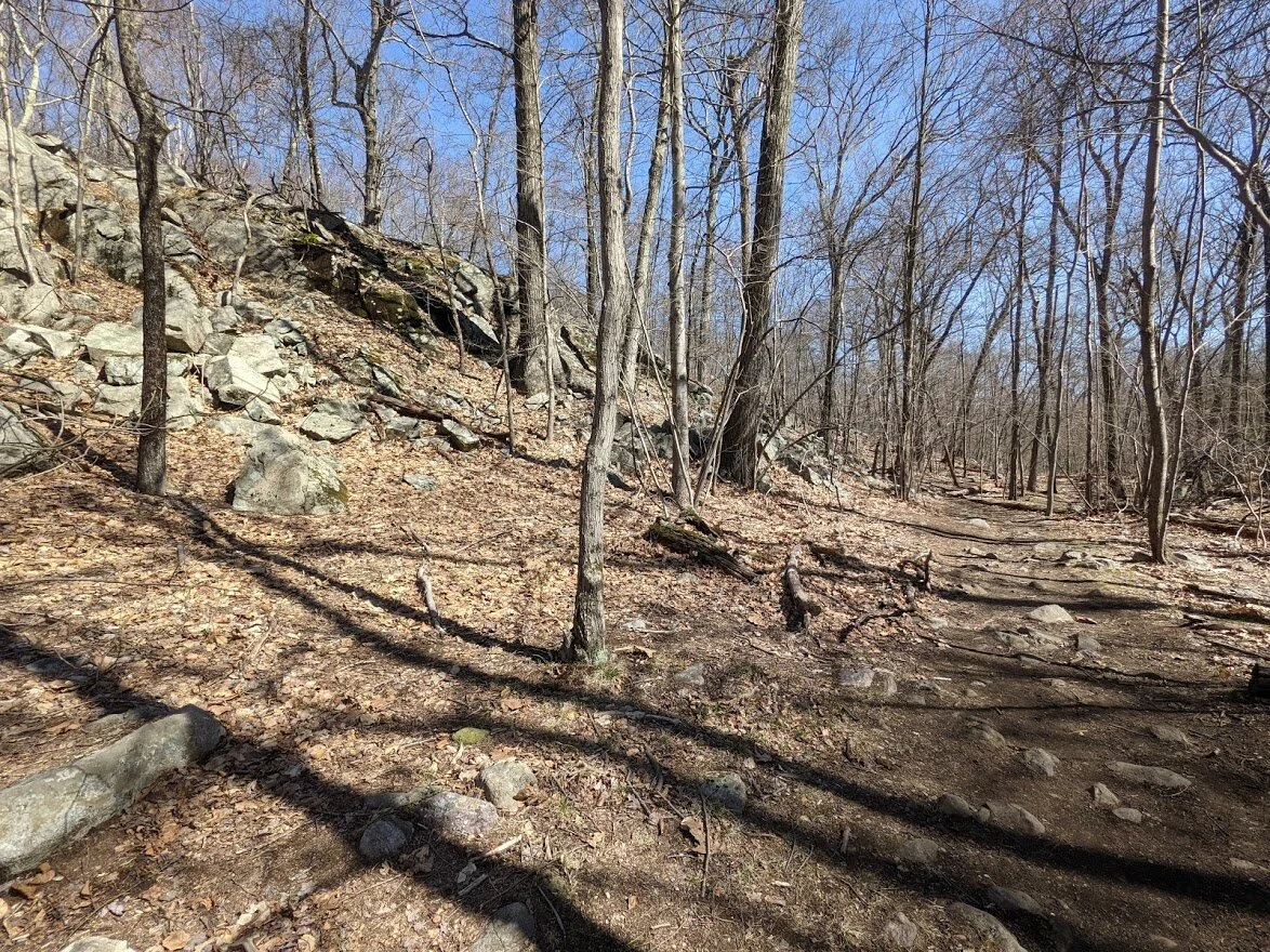
It was such a gorgeous day. I couldn't stop smiling, just because of the weather. Even if the trail looked like this.
Of course, just like it is in the Jersey Highlands, you have to go down in order to go up. See the mountain in the distance? That's Bucks Mountain. That's where I'm headed.
The climb up isn't too bad - it's nothing like Board Mountain or Harrison Mountain. It's a decent slope and only a few portions are what I would call steep. But I was climbing for a long time as a result. My legs were burning by the end!

This little brook is marked as swamp on my trail map. I can see that in my minds eye. After serious rainfall this place would be a swampy, for sure. But there are plenty of well placed rocks to skip across. No need to struggle.

And it is beautiful in the spring with the sun making the moss glow.
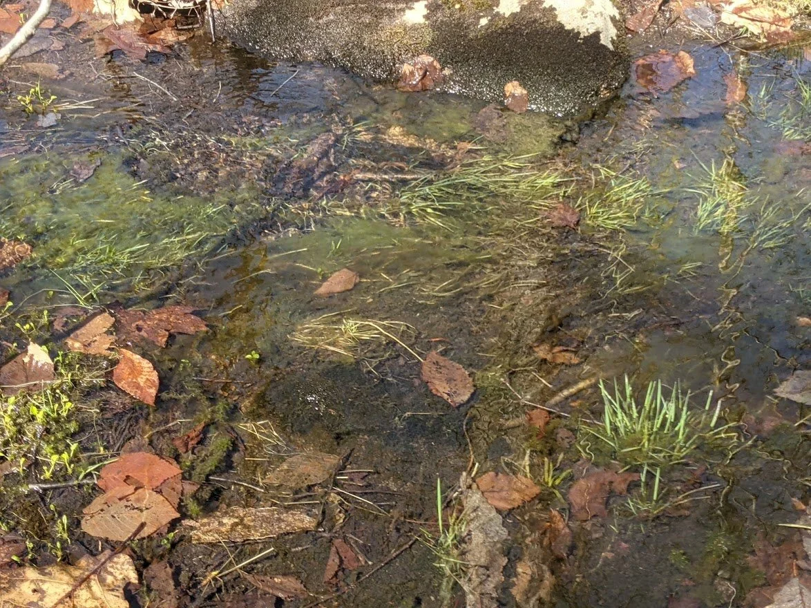
Grass was even coming up out of the water. Definitely nutrient rich soil!
I sat down on a rock here just to enjoy the GREEEN of it all.

But then it was back to climbing toward the top of Buck Mountain.
This was the beginning of the final ascent. The long one. You climb up steeply at first about 120', and then after that it's a very gradual ascent with only a few steep places as you near the summit.
I love the trail when it looks like this.

I didn't use my poles, but they would have come in handy on this section, for sure. I just wanted to keep plowing ahead, so I didn't take the time to bust them out.

This is not the Buck Mountain summit. This is a northwest facing overlook that will be missed entirely once the leaves come in.
You'll climb first to the primary summit of Buck Mountain. The scenic view is on the secondary summit. I'm still climbing to the primary.

Ahead is a false top, but the summit is just beyond. It is not a 360 degree view. In fact, there is no view at all.
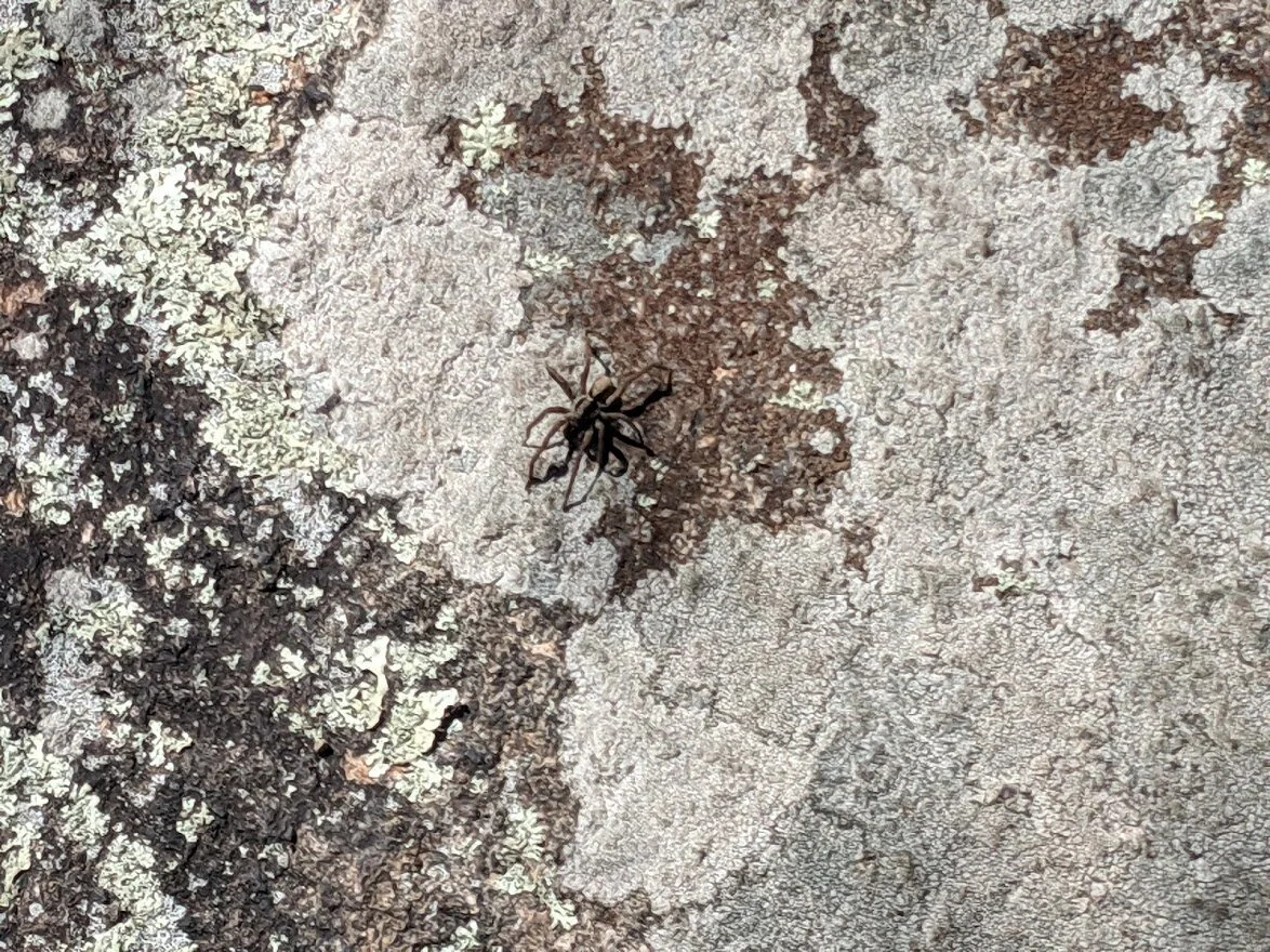
After going to the internet, this little fella has been identified as a wolf spider. I kept my distance. I'm not afraid of spiders, but I greatly respect their power. I gave this one a wide berth.
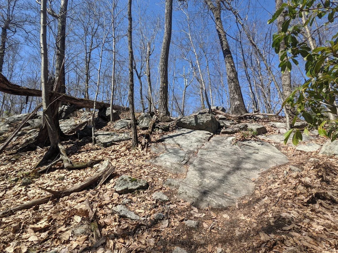
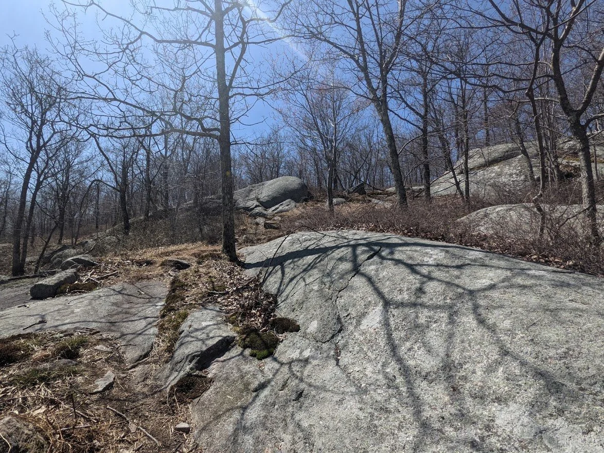
The rocky outcropping ahead is the first summit of Buck Mountain. Not much to see when you get there.

The trail veers off here to the left. I'm not sure if dead ahead is a fire road, or just an unmarked trail, but its certainly heavily used and wide.
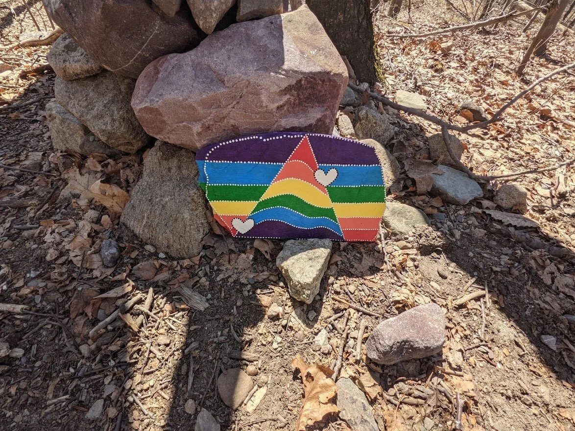
This pretty little hand painted marker makes sure you don't lose your way, though. You'll surely notice the blazes on the tree above it and won't get lost.
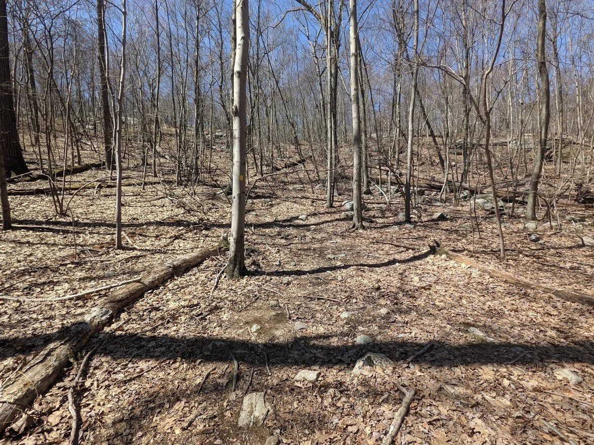
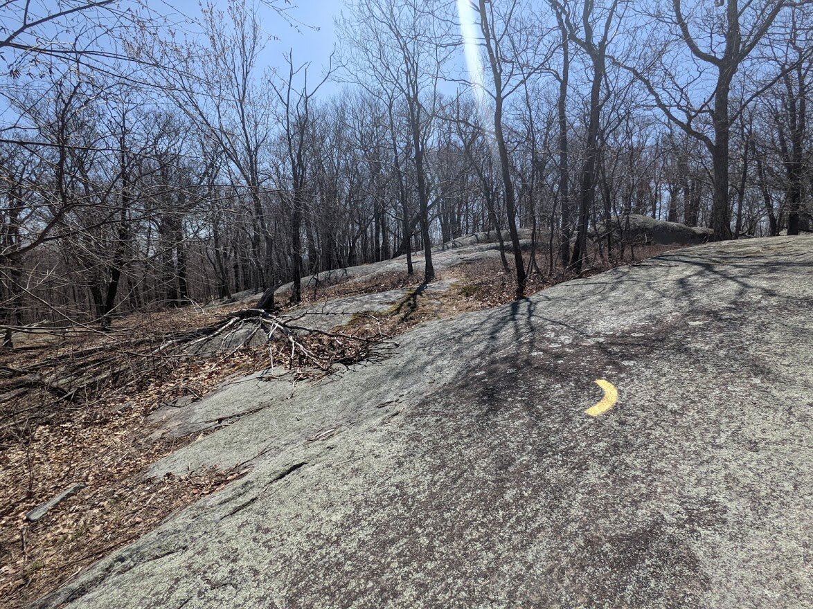
It's a hikers dream! Look at that trail! EASY!
You know you're close to the scenic view and secondary summit when you reach this point. The Highlands trail (teal blaze) joins the Wyanokie Crest trail right around this area. There is an unmarked trail that leads directly to the scenic view, but if you take that, you'll miss one of the scenic viewpoints, and THE TREE.

THIS tree.
I wish I had smellovision on my website. It smelled so good and so strongly of pine that I didn't want to leave. I took off my backpack and leaned against this rock and took it in for several minutes. It's divine.
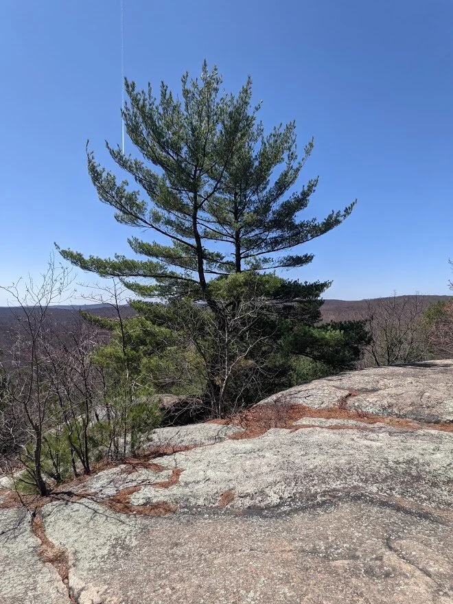
I love this tree with all my heart.
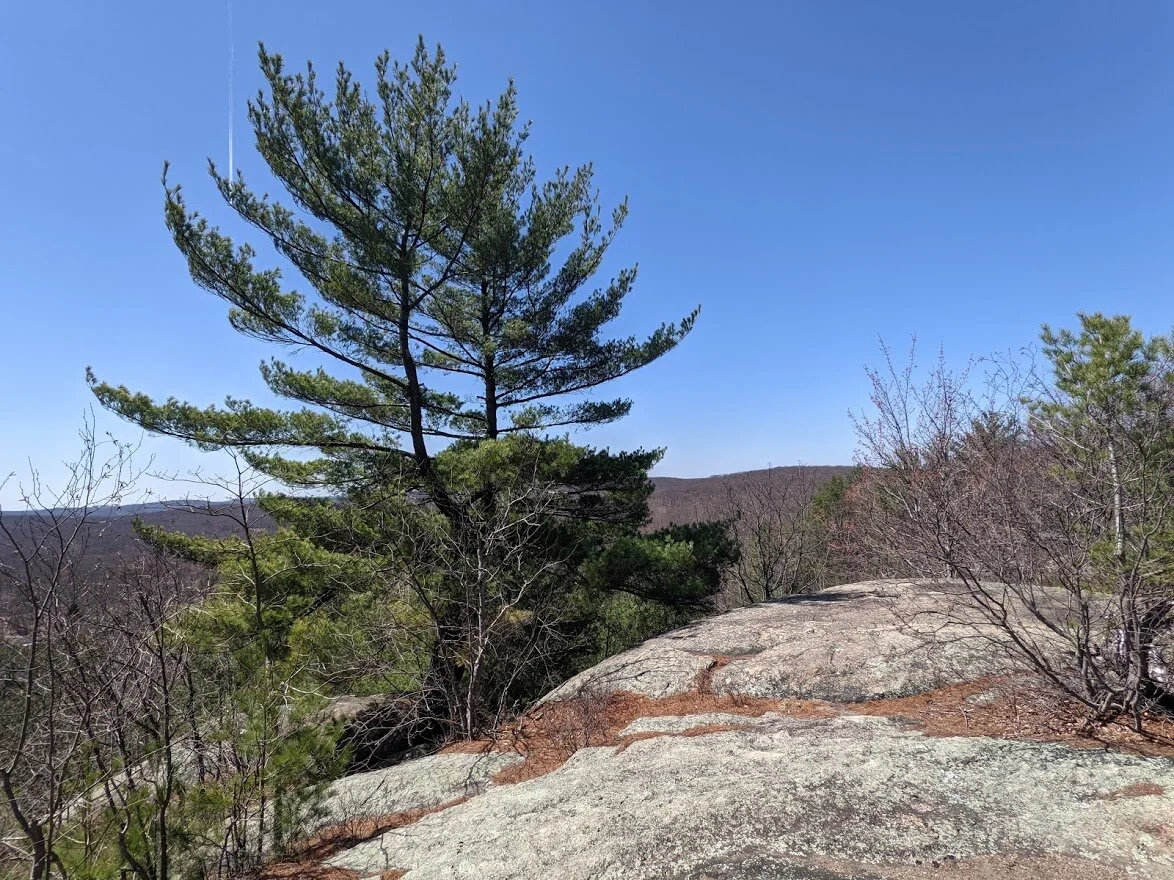
Tall and proud and stinky. Just the way I like 'em!
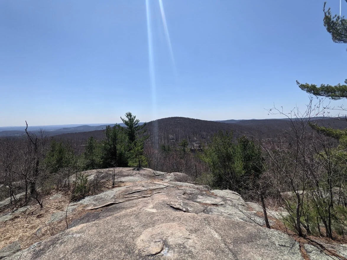
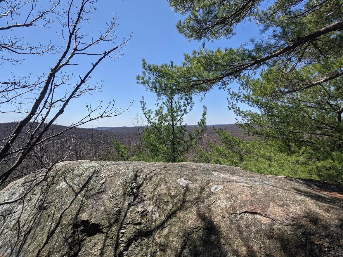
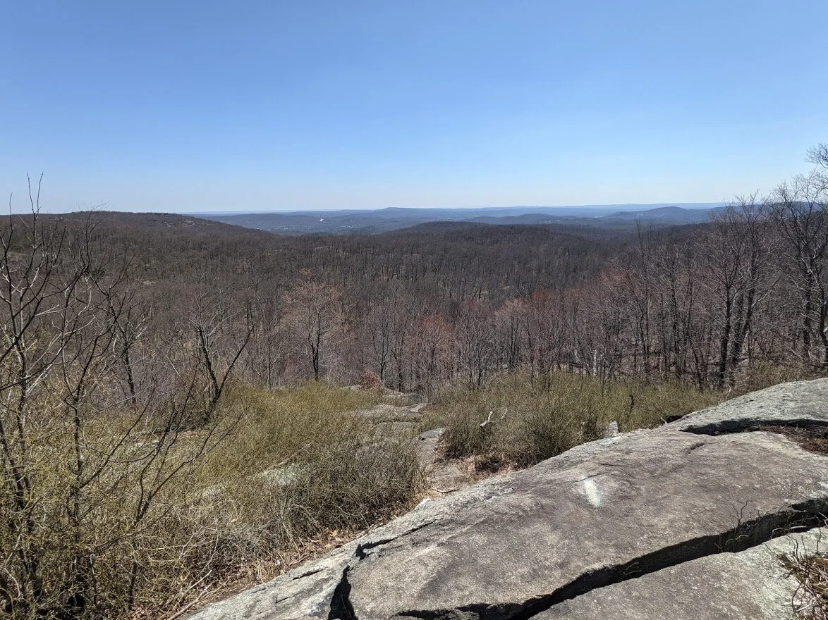
But beyond the tree is the view. And what a view! Carris Hill is ahead, and between it lies Norvin Green's beauty.
Far beyond lies Wanaque Reservoir (unseen from here), and the Ramapo Mountains.

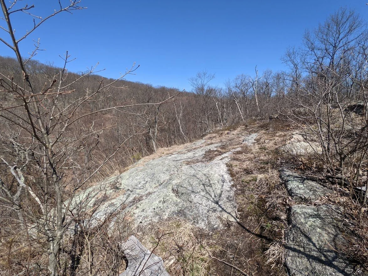
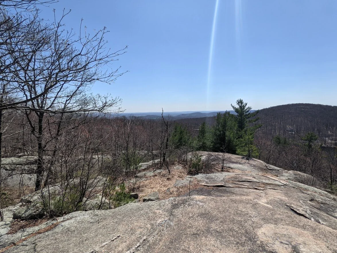
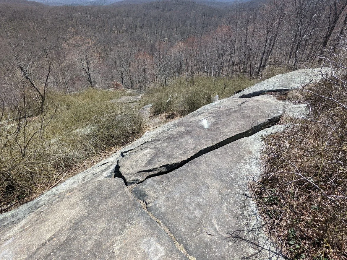
The trail carries you over the top of the mountain.
You climb over the tiny ups and downs of the summit, and the view changes each time you stop to admire it.
From here you can see the sleepy little town of Wanaque in the valley below.
A little further yet and the view will alter again.
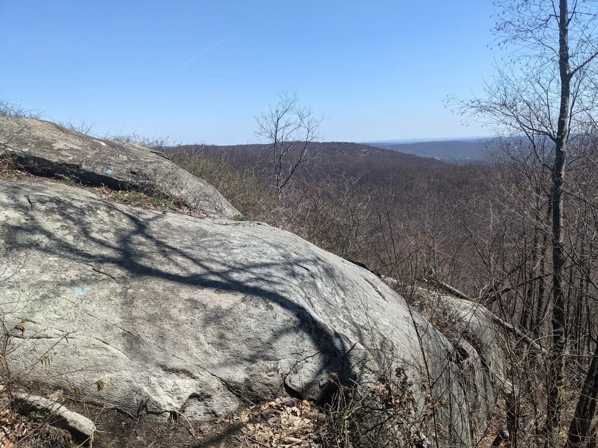
Wanaque and Ringwood Mountains are all visible from this vantage point.
As is the steep descent down.
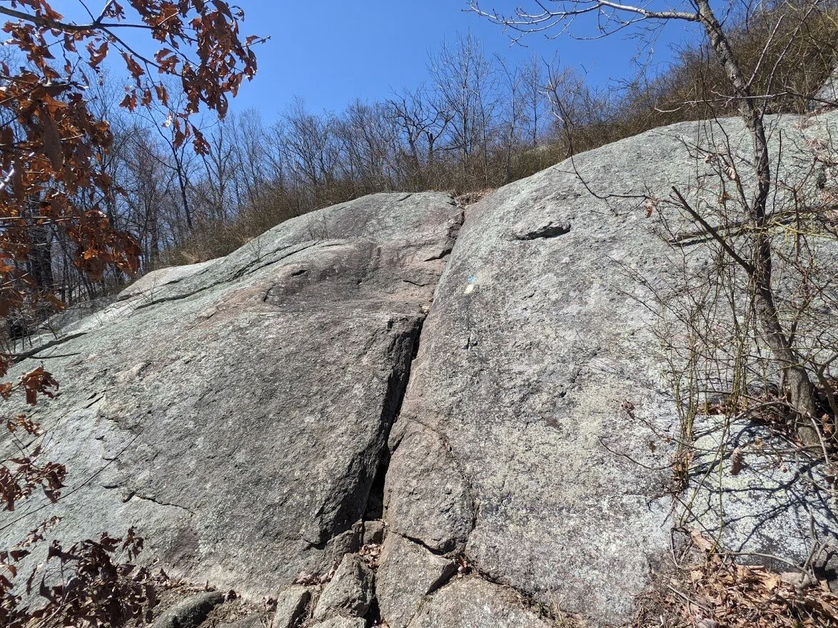
And immediately as you descend, you lose the view. It's very steep and nearly sheer flat rock. I used poles and still had to skootch down the rock face on my behind, twice.
The initial descent is so steep you can't see the rock faces when looking up from just below.
To give you perspective, this is that same spot but looking straight ahead at my eye height. That's steep.
And it continued to be steep. Poles were incredibly useful on the long descent. I was very cautious and very slow.
When you get to the bottom, looking up doesn't begin to capture the accomplishment of it all.

Directly at the bottom of Buck Mountain, the trail intersects with Otter Hole.... and you have to immediately climb back UP.
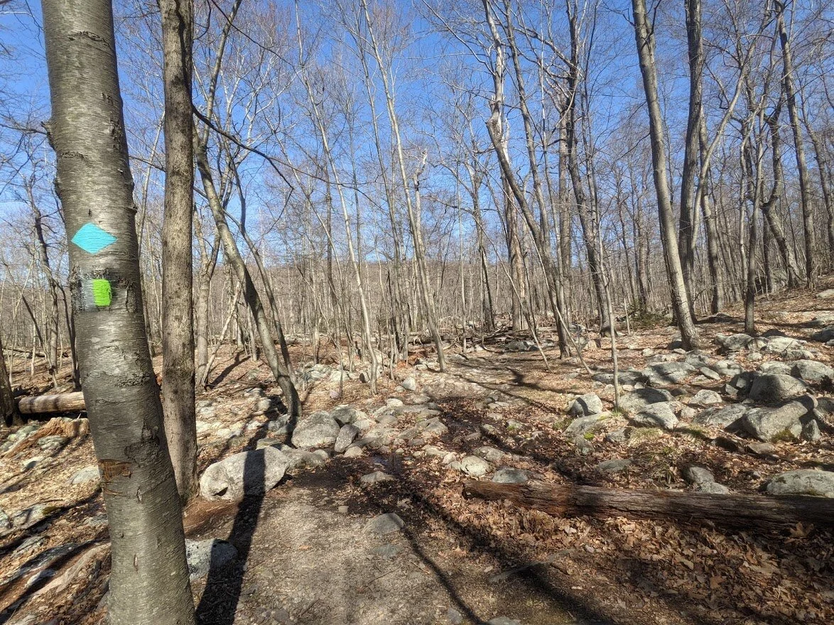
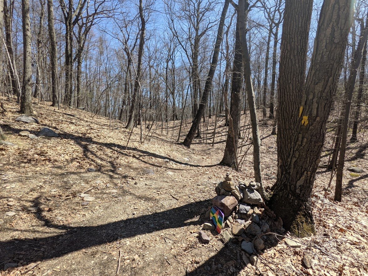
Four trails all lead you back to the same place: the Highlands Trail (teal blaze), Hewitt-Butler (blue blaze), Otter Hole trail (green blaze) and the Wyanokie Crest trail (yellow blaze).

It's tough to fit all of those colors on the tree, so most are only painted with yellow and blue blazes.
But the signage is good, so you're hard pressed to get lost.

And back to the parking lot I went via the Hewitt-Butler.

Otter Hole parking lot fills up quickly.
But a short walk leads you to the overflow area.
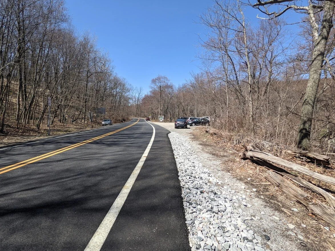
I don't usually bother trying to park anywhere BUT the overflow area. And this is where I left my note.... for my new trail friend!