

Where am I going?
Highlight Hiker Blog
Jungle Habitat, West Milford, New Jersey
August 6, 2020
First of all, if you haven’t seen my Jungle Habitat gallery, go visit now to get a synopsis of its history because this place defies all reason. It’s so much fun to hike here (though many of the artifacts have been stolen over the recent years), it’s kind of ridiculous. I was looking for a place to put my sorrows and by the time I left, I left light as a cloud.
Your body will do a lot of lateral work hiking the trails because they are primarily constructed for mountain biking and therefore have obstacles and trail terrain that are designed for high adventure. So despite the minimal difficulty in elevation, if you hike a marked trail, you’ll feel it later… but it’s worth it, especially if A. you learn it’s history, and B. you understand a little bit about how nature takes over abandoned areas where there used to be a large human (and in this case, exotic animal) foot print. Speaking of footprints… if you plan to hike here, a good pair of sneakers will get you around the cement paths of a bygone era, but if you plan to take a marked trail hike I encourage you to wear sturdier hiking shoe or boot: something that has a little more grip. Your ankles with thank you.
Today I just walked in. I didn’t have a great plan. I just wanted to explore all of the nooks and crannies (which I’m convinced you could never see all in one day). But I stumbled upon the orange blaze trail quite by accident, and then followed it on a south-to-north(-ish) run to its eventual end. My favorite part of today’s walk was at the top of the hill. There is a forest of nothing but skinny cherry trees as far as the eye can see, which is beautiful in and of itself. But I came across a small opening in the forest: a tiny field filled with native plants and up above was a red-tailed hawk, circling above while screeching to it’s partner (who was heard but not seen). It was a pretty spectacular walk with a lot of sensory input..
Not only that, but I talked to a few very kind people, some who knew the area well and some who were exploring it for the first time, and got a little bit more information about those nooks and crannies that I was looking for.
But I’ll let the pictures do the talking from here on out. Because you won’t believe what you see. And I want you to see it.
PS. I would love to have a copy of the last known Jungle Habitat map for my next hike through this area! SO MUCH FUN!
PSS. Hungry after a day hiking or riding? Right next door to Jungle Habitat, at the West Milford airport, is the delicious Smoke Shack BBQ & Burgers. Great food, great service… just what you’re craving after a few hours of hard work!

The former parking lot is enormous. This is only one of two lots. You have to hike in and up the hill, past the airport, to get to this lot.

The original entry consisted of two tunnels.
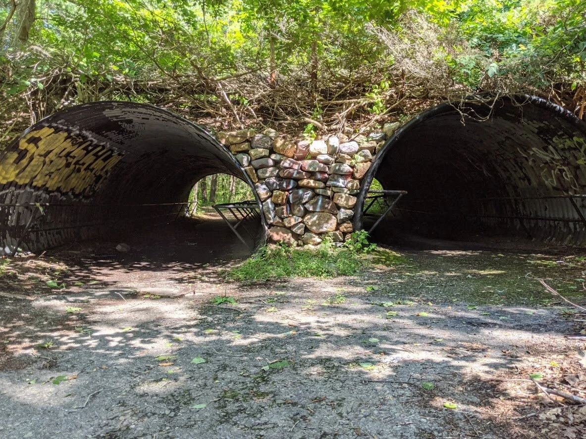
There they are!

The ticket? Or information booth?

The abandoned booth just inside the tunnel entrance.

The abandoned booth just inside the tunnel entrance.

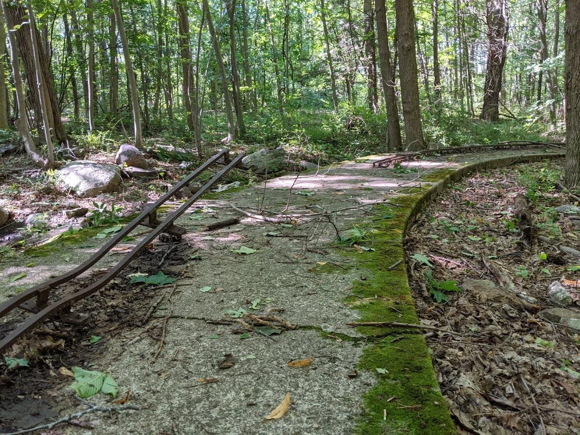
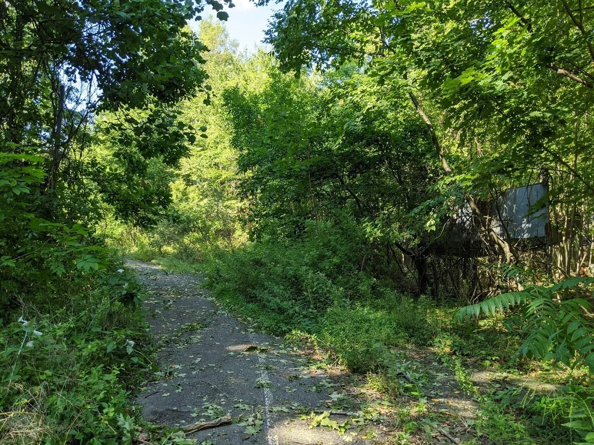
Most of the original walkways are not marked trails. There is a maze of these cement trails all over the (former) park. This is where having a copy of the old map would come in really handy!
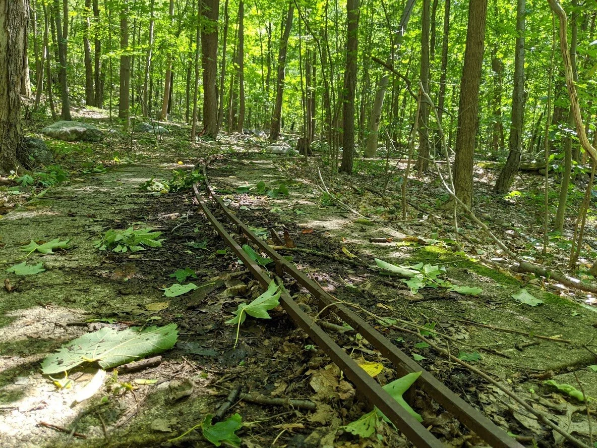
This is the track to the old kiddie Safari Car ride. I was able to walk most of it. The hurricane had brought down one large tree over one of two bridges.
Safari Car ride. There was a small pond on the side of the track.
Safari Car track
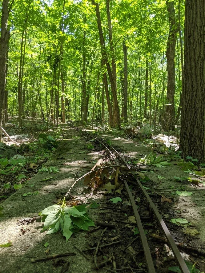
Just a little bit of damage to the Safari Car track...
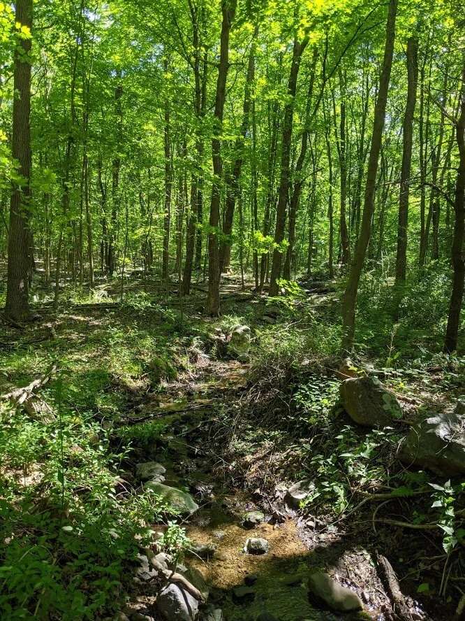
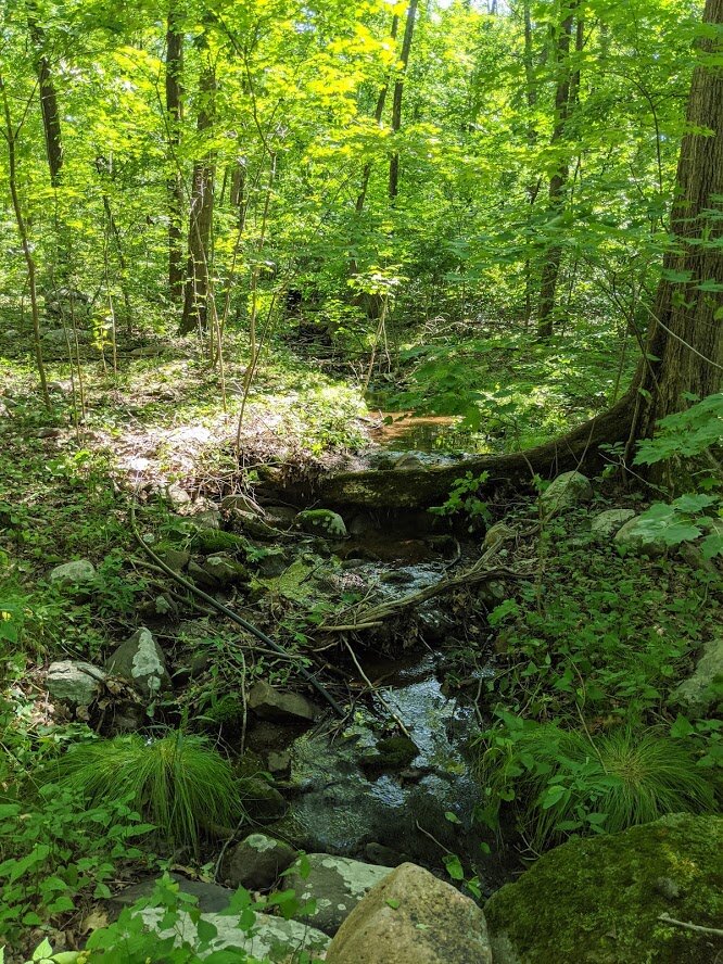
A small creek passes through the Safari Car track, which had two pint-sized cement bridges over them. This bridge was clear of storm damage.

The old entrance to the Safari Car ride is now just bones on the ground.
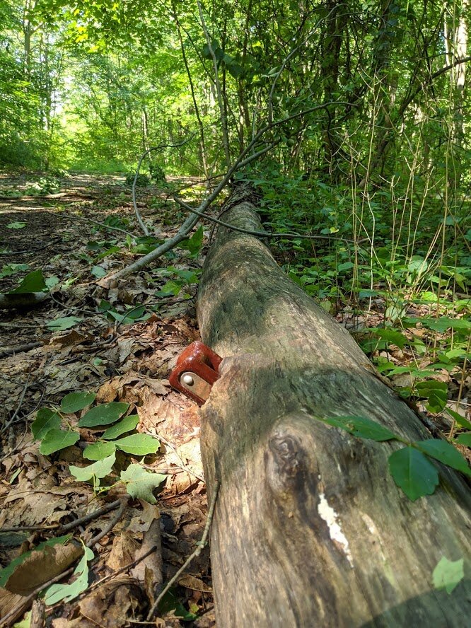
Further down the trail I found this. I'm not quite sure what it is, but... it's there!
After the Safari Car encounter, I walked further east and met up with the Orange blaze trail. I wasn't sure if I actually wanted to follow it or keep exploring the cement trails. But I can't resist a marked trail... so there I was.

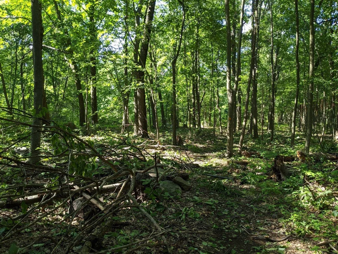
Trail conditions vary, but the terrain is mostly rocky, and constructed specifically for mountain bikers. You'll find it a bit more challenging in certain areas because of the way the trail is built vs. it being naturally difficult terrain.

There was some significant storm damage on the orange trail. This is where the orange meets the yellow.

You do cross over the spine of the hill.

The orange trails weaves in and out and around itself several times... this is one of those times. The trail leading to the left AND the right are one in the same!

Some big tanks. 'Cause every zoo needs a few good tanks! These were at the top of the hill on the orange trail.

Pretty good condition, considering their age!

Throughout the park, you'll find cut throughs of the wired fence which bordered the specific animal habitat.

I'm not really sure what this was... some kind of structure... a shelter for animals?

On the orange trail, you dip over the spine of the hill onto the eastern side for a little bit. It is much more quiet on this side of the moutain.

There are a lot of switchbacks for mountain biking fun, and at the top of the mountain you'll find that the trail weaves in and out of forest and field.

It would be really great if the trails could get new markers. They are fairly inconsistent and washed out. Believe it or not, this marker is orange.

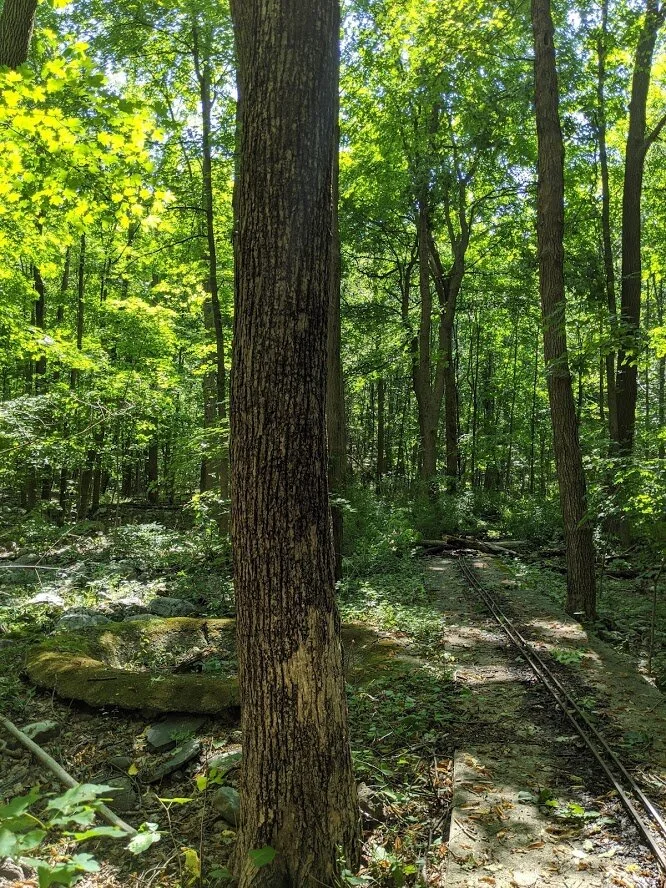
Sections of the trail are different, for a variety of reasons, most of that being because of the invasion of humanity. It changes the what grows where and how well it thrives. The beautiful stands of cherry trees stretch all throughout the overgrown park.

Sometimes the washed our markers are replaced by a blob of spray paint.

Typical of these trails: a single step will take you from natural single track, to cement trails of different widths.

This was clearly man made for an animals habitat. I wish I knew who had habitated here!!
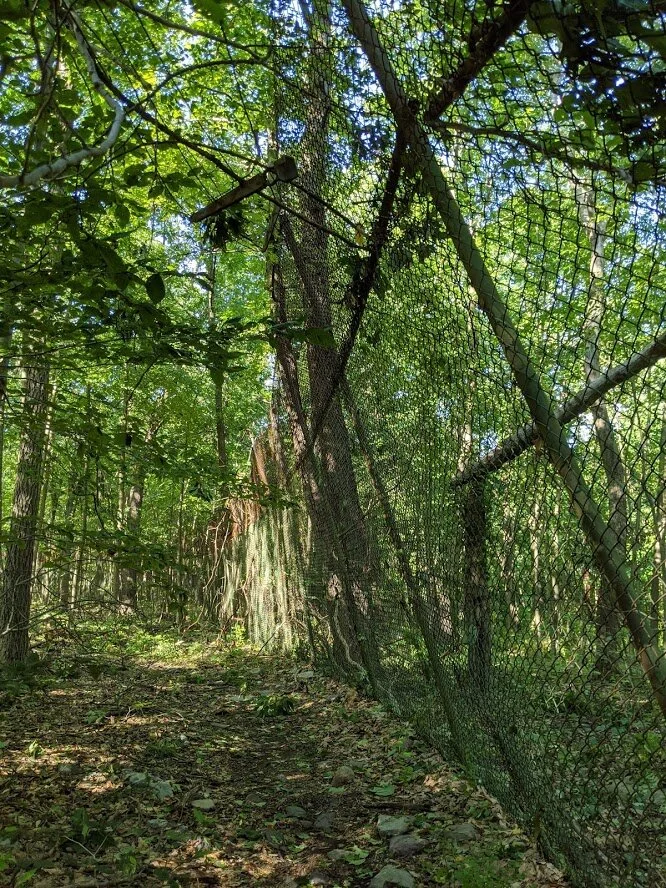
It's surprising to me how well constructed this park was... it's been centuries since it closed, and most of the fencing still stands straight. This was the one which was sagging by age and the weight of a tree that had fallen atop it.
This particular area suffered a lot of damage after Hurricane Isaias.

I'm assuming that this habitat was specially built for large predator animals (such as tigers and lions), so that they could not climb the chain link fence.

This was a very large area.
The orange trail seemed to end here, but I think it may have continued. It was 4:15 pm, though, and my stomach was growling, so I decided to stop here for the day and head home.

I followed the unmarked cement trail back down to the parking lot (not the one you can park your car in now, but the old one).

This is the actual parking lot and it is huge! You could park more than 40 cars in this lot. Not sure you'd want to... but you could!